Topics > Northumberland > Civil Parishes in Northumberland > Stannington Civil Parish
Stannington Civil Parish
Parish boundaries may have changed - for the latest map see the Parish Council or Northumberland County Council.
About the Parish
| Settlements: | Stannington (village), St Mary's Park, Stannington Station, Blaggon, Glororum, Horton Grange, Shotton, and several smaller hamlets and farms, including: Bellasis, Briery Hill, Catraw, Clifton, Dovecote Farm, East Moor, Lough House Farm, Milkhope, North Saltwick, Saltwick, Duddo Hill, Middle Duddo, West Duddo, Well Hill, Whinney Hill, Whitehouse Farm. There are also several residences along the Old A1 road, including Shotton Grange and Shotton Edge South House. |
| Population: |
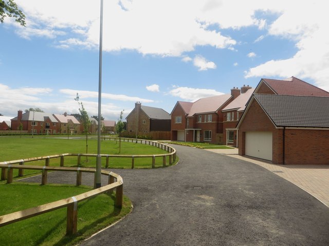
2,219 (2021 Census) 1,280 (2011 Census) 1,219 (2001 Census) The population has grown considerably, largely in association with new housing developments built at St Mary's Park, on Green Lane and St Mary's Lane, including 'Stannington Park' and 'Stannington Mews' on the site of the former St Mary's Hospital. There are also new housing developments at Stannington Station. |
| Area: | 40.3 km2 |
| Parish Council: | Stannington Parish Council, established 1894 |
| Unitary Authority: | Northumberland County Council |
Historical |
|
|
Ancient Townships (in modern CP area) |
Duddoes-with-Whinney Hill (included East, Middle & West Duddo) Horton Grange (Dinnington Parish) Most townships became civil parishes in their own right in 1866 (see below). This doesn't seem to have been the case for the townships in Stannington. Horton Grange (Dinnington Parish) did become a civil parish in 1866. |
| Ancient Parish: |
The parish was divided into three divisions, called Stannington North-East Quarter, Stannington North-West Quarter, and Stannington South Quarter. Dinnington Parish (St Matthew) - Horton Grange Ancient parishes refer to the parishes before the split between ecclesiastical (church) and civil parishes in the 19th century. They had a parish church and often were composed of multiple townships and chapelries. In many cases, townships and parishes were originally based on the territory of manors from the feudal system during medieval times. Civil parishes were created following the Poor Law Amendment Act 1866, in which Church of England parishes, extra-parochial areas, townships and chapelries, became "civil parishes" which could set their own poor rate (tax). Then the reforms of Local Government Act 1894 established elected civil parish councils (or parish meetings for parishes with less than 300 residents) and created urban and rural districts. Boundaries of parishes and civil parishes may have changed over time. |
| Ancient District: |
Castle (ward) - West Division |
| Poor Law Union: |
Castle Ward Poor Law Union, formed in 1836. Castle Ward Poor Law Union Workhouse intitally used an existing workhouse at Heddon-on-the-Wall; Heddon Square, built in 1796, which had been previously used to house mine workers and Huguenot refugees (French Protestants who fled from the French Catholic government in the 17th century). A new and larger workhouse, designed by John and Benjamin Green, was built in Ponteland in 1848, which could house 120 inmates. This was later extended. Under the Poor Law Amendment Act of 1834 parishes were grouped into Unions, each of which had to build a workhouse if they did not already have one. It ended the old system of locally provided poor relief which had come under strain as numbers out of work grew, following increasing mechanisation of agriculture and the economic downturn after the Napoleonic Wars, along with changing social attitudes. The workhouse provided those unable to support themselves financially with accommodation and work. Inmates were generally segregated into men, women, boys and girls. The workhouse system was abolished by the Local Government Act 1929, but many workhouses lived on as ‘Public Assistance Institutions’ until the National Assistance Act 1948. |
|
District Council: |
Castle Ward Rural District, formed in 1894. The district was abolished in 1974, following the Local Government Act 1972. Castle Morpeth District Council (1974 - 2009) The district council was abolished when Northumberland became a unitary authority on the 1st of April 2009. |
|
Major Boundary Changes |
1955 - Stannington CP was enlarged by the abolition of Horton Grange Civil Parish Note: the southern part of Horton Grange CP was transferred to Dinnington CP. The northern part, including the hamlet of Horton Grange, was transferrd to Stannington CP. |
|
County / Unitary Authority |
The ancient county of Northumberland was enlarged following the Counties (Detached Parts) Act 1844; Bedlingtonshire, Norhamshire, Islandshire, the Farne Islands and Monks' House all became part of Northumberland. Up to then they had been enclaves of County Durham. Northumberland County Council formed 1889. Major boundary changes came into effect on the 1st April 1974. This followed the Local Government Act 1972, which formed the non-metropolitan county of Northumberland. This excluded the City of Newcastle upon Tyne and North Tyneside, which up to then had been part of Northumberland, but now became part of the newly formed Tyne & Wear. Northumberland County Council became a unitary authority on the 1st of April 2009. |
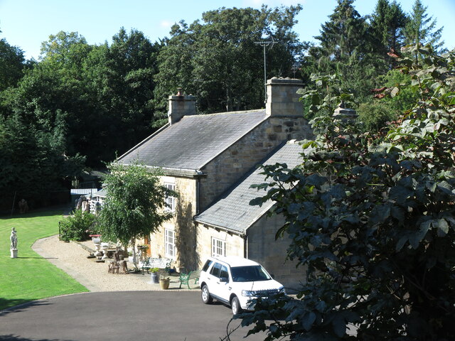
See also: ![]() Historic Buildings and Monuments in Stannington Civil Parish. Note: listed buildings are generally the responsibility of the county council / unitary authority, rather than the parish council.
Historic Buildings and Monuments in Stannington Civil Parish. Note: listed buildings are generally the responsibility of the county council / unitary authority, rather than the parish council.
Extracts from historical directories on this Website: Stannington Parish, 1848 ; Stannington Parish, 1855

from http://www.stanningtonpc.co.u…
Stannington Parish Council
- "Stannington Parish Council is a small local council in Northumberland serving an electorate of around a thousand people. The council has been established since 1894...."
Added by
Simon Cotterill
Co-Curate Page
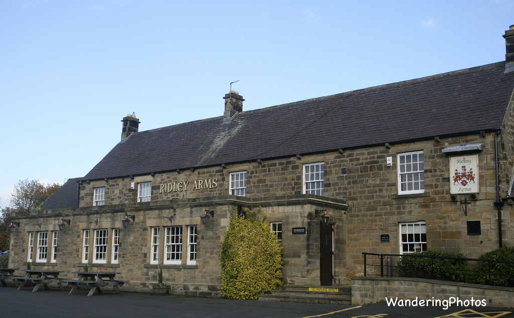
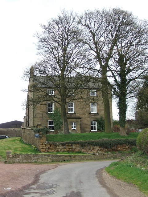
Stannington
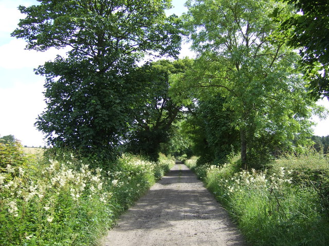
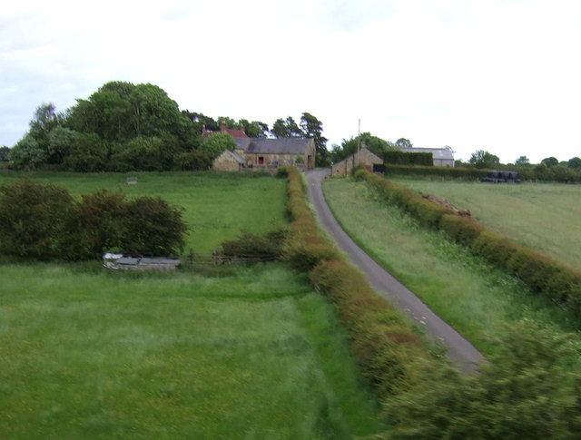
- Overview About Stannington Map Street View Timeline Stannington is a village in Northumberland, located about 8 miles north of Newcastle and 4½ miles south of Morpeth. Catraw Burn flows past …
Co-Curate Page
Saltwick
- Overview Map Street View SALTWICK, a township, in the N. division of the parish of Stannington, union, and W. division, of Castle ward, S. division of Northumberland, 5 miles (S.S.W.) …
Co-Curate Page
North Saltwick
- Overview Map Street View North Saltwick is a hamlet located about 2 miles north-west of Stannington and a mile north-east of Saltwick in Northumberland. To the east of North Salwick is …
Co-Curate Page
Clifton
- Overview About Clifton Map Street View Clifton is a hamlet in Northumberland, located about 1 mile south of Morpeth and 2 miles north of Stannington. It is part of the …
Co-Curate Page
Bellasis
- Overview Map Street View Bellasis is a farmstead located about a mile south-west of Stannington in Northumberland. It is the site of the old manor of Bellasis, which was owned …
Co-Curate Page
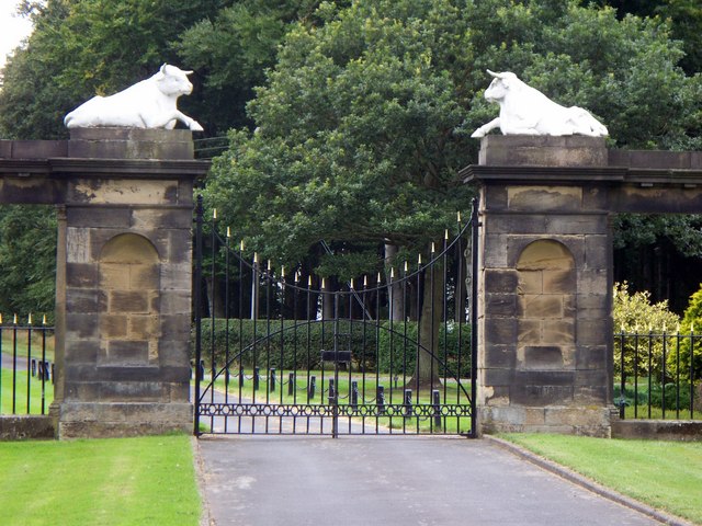
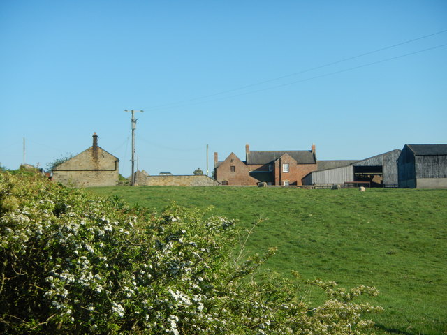
Horton Grange
- Overview Map Street View Horton Grange and Old Horton Grange are hamlets in Northumberland, located close to the county boundary with the City of Newcastle upon Tyne, about 9 miles …
Co-Curate Page
Whinney Hill, Stannington
- Overview Map Street View Whinney Hill is a farm / hamlet in Northumberland. It is situated by Duddo Burn. Historically Duddoe with Whinney Hill was a township in the ancient …
Co-Curate Page
Middle Duddo
- Overview Map Street View Middle Duddo is a farm in Northumberland, located about 2 miles east of the village of Stannington. It is situated near Duddo Burn. There was once a …
Co-Curate Page
Glororum, Stannington
- Overview Map Street View Glororum is a hamlet, located about 2 miles north-west of the village of Stannington in Northumberland. The settlement is part of Stannington Civil Parish. Not to …
Co-Curate Page
West Duddo
- Overview Map Street View West Duddo is a hamlet in Northumberland, located about 2 miles east of the village of Stannington. It is situated near Duddo Burn. One of the …

Co-Curate Page
Stannington Parish, 1855
- Extract from: History, Topography, and Directory of Northumberland...Whellan, William, & Co, 1855. STANNINGTON PARISH. Stannington parish is divided into three divisions, called respectively Stannington North-East Quarter, Stannington North-West Quarter, …
Co-Curate Page
Duddo Hill
- Overview Map Street View Duddo Hill is a farm, located about 1½ miles north-west of the village of Stannington in Northumberland. The farmhouse here dates from the 18th Century, with …
Co-Curate Page
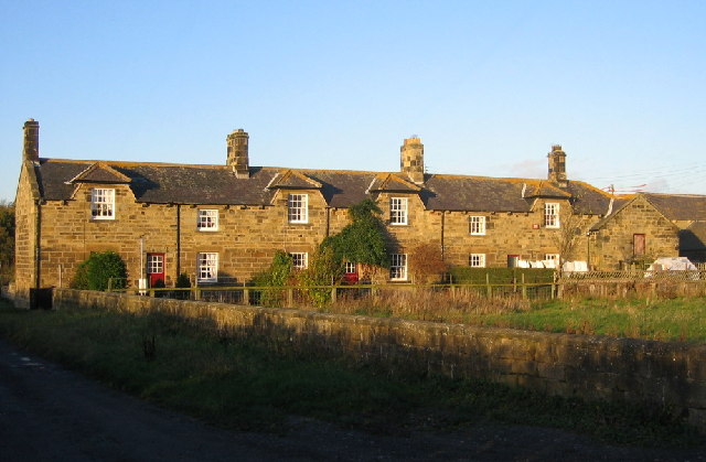
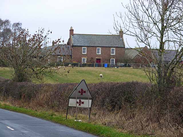
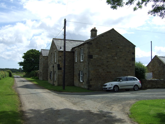
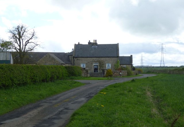
Shotton, Northumberland
- Overview Map Street View Shotton is a hamlet, located about 9 miles north of Newcastle and 1 mile south-east of the village of Stannington. There are two rows of cottages …
Co-Curate Page
Milkhope
- Overview Map Street View Milkhope is located near Blagdon, about 7 miles north of Newcastle and 2 miles south of Stannington. In medieval times there was a settlement here, but …
Co-Curate Page
Catraw
- Overview Map Street View Catraw is a farm / hamlet located a short distance west of the village of Stannington in Northumberland. Catraw Burn, a tributary of the River Blyth, …
Co-Curate Page
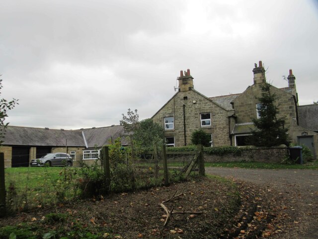
Briery Hill
- Overview Map Briery Hill Farm is located off Briery Hill Lane, about ¾ mile east of the village of Stannington. The farm has an early 19th century Gin gang, which …
Co-Curate Page
East Moor, Stannington
- Overview Map East Moor Farm is located at the end of Briery Hill Lane, about a mile east of the village of Stannington. The farm buildings date from the 18th …
Co-Curate Page
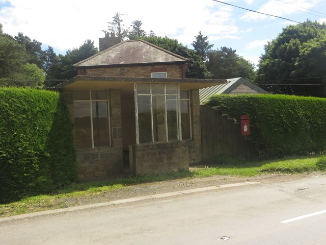
Stannington Station
- Overview Map Street View Stannington Station is a substantial hamlet in Northumberland clustered around what was previously a railway station, located about a mile north-east of the village of Stannington …
Co-Curate Page
St Mary's Park, Stannington
- Overview Map Street View St Mary's Park (aka Stannington Park) is effectively a new village, built on and around the site of the former St Mary's Hospital, located near North …
Co-Curate Page
Well Hill, Stannington
- Overview Map Street View Well Hill Farm is located on Bets Lane and is located about 2½ miles north-west of the village of Stannington in Northumberland. As well as the …
Co-Curate Page
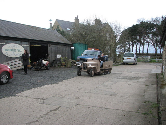
Whitehouse Farm
- Overview Map Street View Whitehouse Farm Centre is a family run attraction covering over 40 acres, at North Whitehouse Farm, which is located about 2 miles north-west of the village …

from http://www.stanningtonpc.co.u…
Stannington Parish Council
- "Stannington Parish Council is a small local council in Northumberland serving an electorate of around a thousand people. The council has been established since 1894...."
Added by
Simon Cotterill
Co-Curate Page
Stannington
- Overview About Stannington Map Street View Timeline Stannington is a village in Northumberland, located about 8 miles north of Newcastle and 4½ miles south of Morpeth. Catraw Burn flows past …
Co-Curate Page
Saltwick
- Overview Map Street View SALTWICK, a township, in the N. division of the parish of Stannington, union, and W. division, of Castle ward, S. division of Northumberland, 5 miles (S.S.W.) …
Co-Curate Page
North Saltwick
- Overview Map Street View North Saltwick is a hamlet located about 2 miles north-west of Stannington and a mile north-east of Saltwick in Northumberland. To the east of North Salwick is …
Co-Curate Page
Clifton
- Overview About Clifton Map Street View Clifton is a hamlet in Northumberland, located about 1 mile south of Morpeth and 2 miles north of Stannington. It is part of the …
Co-Curate Page
Bellasis
- Overview Map Street View Bellasis is a farmstead located about a mile south-west of Stannington in Northumberland. It is the site of the old manor of Bellasis, which was owned …
Co-Curate Page
Horton Grange
- Overview Map Street View Horton Grange and Old Horton Grange are hamlets in Northumberland, located close to the county boundary with the City of Newcastle upon Tyne, about 9 miles …
Co-Curate Page
Whinney Hill, Stannington
- Overview Map Street View Whinney Hill is a farm / hamlet in Northumberland. It is situated by Duddo Burn. Historically Duddoe with Whinney Hill was a township in the ancient …
Co-Curate Page
Middle Duddo
- Overview Map Street View Middle Duddo is a farm in Northumberland, located about 2 miles east of the village of Stannington. It is situated near Duddo Burn. There was once a …
Co-Curate Page
Glororum, Stannington
- Overview Map Street View Glororum is a hamlet, located about 2 miles north-west of the village of Stannington in Northumberland. The settlement is part of Stannington Civil Parish. Not to …
Co-Curate Page
West Duddo
- Overview Map Street View West Duddo is a hamlet in Northumberland, located about 2 miles east of the village of Stannington. It is situated near Duddo Burn. One of the …
Co-Curate Page
Stannington Parish, 1855
- Extract from: History, Topography, and Directory of Northumberland...Whellan, William, & Co, 1855. STANNINGTON PARISH. Stannington parish is divided into three divisions, called respectively Stannington North-East Quarter, Stannington North-West Quarter, …
Co-Curate Page
Duddo Hill
- Overview Map Street View Duddo Hill is a farm, located about 1½ miles north-west of the village of Stannington in Northumberland. The farmhouse here dates from the 18th Century, with …
Co-Curate Page
Shotton, Northumberland
- Overview Map Street View Shotton is a hamlet, located about 9 miles north of Newcastle and 1 mile south-east of the village of Stannington. There are two rows of cottages …
Co-Curate Page
Milkhope
- Overview Map Street View Milkhope is located near Blagdon, about 7 miles north of Newcastle and 2 miles south of Stannington. In medieval times there was a settlement here, but …
Co-Curate Page
Catraw
- Overview Map Street View Catraw is a farm / hamlet located a short distance west of the village of Stannington in Northumberland. Catraw Burn, a tributary of the River Blyth, …
Co-Curate Page
Briery Hill
- Overview Map Briery Hill Farm is located off Briery Hill Lane, about ¾ mile east of the village of Stannington. The farm has an early 19th century Gin gang, which …
Co-Curate Page
East Moor, Stannington
- Overview Map East Moor Farm is located at the end of Briery Hill Lane, about a mile east of the village of Stannington. The farm buildings date from the 18th …
Co-Curate Page
Stannington Station
- Overview Map Street View Stannington Station is a substantial hamlet in Northumberland clustered around what was previously a railway station, located about a mile north-east of the village of Stannington …
Co-Curate Page
St Mary's Park, Stannington
- Overview Map Street View St Mary's Park (aka Stannington Park) is effectively a new village, built on and around the site of the former St Mary's Hospital, located near North …
Co-Curate Page
Well Hill, Stannington
- Overview Map Street View Well Hill Farm is located on Bets Lane and is located about 2½ miles north-west of the village of Stannington in Northumberland. As well as the …
Co-Curate Page
Whitehouse Farm
- Overview Map Street View Whitehouse Farm Centre is a family run attraction covering over 40 acres, at North Whitehouse Farm, which is located about 2 miles north-west of the village …

Northumberland
Civil Parishes in Northumberland

Bellasis Township, 1848
Blagdon Township, 1848
Dovecote Farm
Historic Buildings and Monuments in Stannington Civil Parish
Lough House Farm, Stannington
Plessey with Shotton Township, 1848

Shotton Grange
Stannington Parish, 1848
Vale House, Stannington Vale


