Topics > Tyne and Wear > Newcastle upon Tyne > Civil Parishes in Newcastle > Dinnington Civil Parish
Dinnington Civil Parish
Parish boundaries may have changed - for the latest map see the Parish Council or Newcastle City Council.
About the Parish
| Overview: | Dinnington is one of only six civil parishes in Newcastle upon Tyne (most of the city is unparished). The parish is located about 6 miles north-west of the city centre. Most of the population resides within the village of Dinnington. The population is growing in association with new housing developments. |
| Main Settlements: |
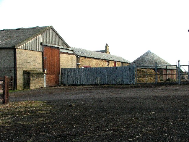
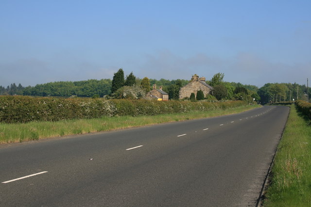
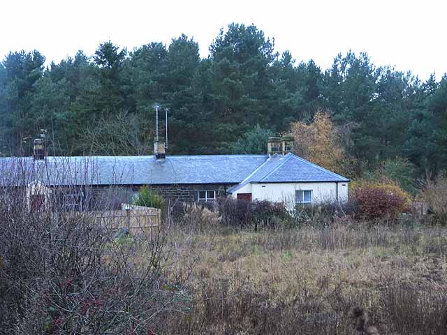
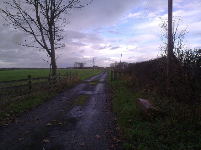
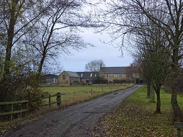
Dinnington (village) There are also a number of hamlets and farms in the parish, including Brenkley, North Farm, Gardener's House Farm, and along the Old Great North Road are South Shotton Edge and Seven Mile House. |
| Population: |
2,361 (2021 Census) 1,636 (2011 Census) 1,710 (2001 Census) |
| Area: | 12.6 km2 |
| Parish Council: | Dinnington Parish Council (formed in 1919) |
| Unitary Authority: | Newcastle City Council |
| Ceremonial County: | Tyne and Wear |
Historical |
|
| Ancient Township: |
Townships became civil parishes in their own right in 1866 (see below). |
| Ancient Parish: |
Dinnington Parish (St Matthew) The parish covered a wider geographical area compared to todays civil parish of Dinnington and was comprised of the townships of Dinnington, Mason, Brenkley; Horton-Grange, Woolsington, the eastern moiety of Prestwick. The Parish of Dinnington was created in 1834 from parts of the parish of Ponteland. Ancient parishes refer to the parishes before the split between ecclesiastical (church) and civil parishes in the 19th century. They had a parish church and often were composed of multiple townships and chapelries. In many cases, townships and parishes were originally based on the territory of manors from the feudal system during medieval times. Civil parishes were created following the Poor Law Amendment Act 1866, in which Church of England parishes, extra-parochial areas, townships and chapelries, became "civil parishes" which could set their own poor rate (tax). Then the reforms of Local Government Act 1894 established elected civil parish councils (or parish meetings for parishes with less than 300 residents) and created urban and rural districts. Boundaries of parishes and civil parishes may have changed over time. |
| Ancient District: |
Castle (ward) |
| Poor Law Union: |
Castle Ward Poor Law Union, formed in 1836. Castle Ward Poor Law Union Workhouse intitally used an existing workhouse at Heddon-on-the-Wall; Heddon Square, built in 1796, which had been previously used to house mine workers and Huguenot refugees (French Protestants who fled from the French Catholic government in the 17th century). A new and larger workhouse, designed by John and Benjamin Green, was built in Ponteland in 1848, which could house 120 inmates. This was later extended. Under the Poor Law Amendment Act of 1834 parishes were grouped into Unions, each of which had to build a workhouse if they did not already have one. It ended the old system of locally provided poor relief which had come under strain as numbers out of work grew, following increasing mechanisation of agriculture and the economic downturn after the Napoleonic Wars, along with changing social attitudes. The workhouse provided those unable to support themselves financially with accommodation and work. Inmates were generally segregated into men, women, boys and girls. The workhouse system was abolished by the Local Government Act 1929, but many workhouses lived on as ‘Public Assistance Institutions’ until the National Assistance Act 1948. |
| County: |
Northumberland, until 1974, then: Tyne & Wear, which was created on the 1st of April 1974, following the Local Government Act 1972. Tyne and Wear County Council (1974 - 1986), based at Sandyford House. The council was abolished in 1986 along with the other metropolitan county councils in England by the Local Government Act 1985. However, it remains a ceremonilal county. |
|
District Council: |
Newcastle City (metropolitan borough) Since 1986 Newcastle City Council has functioned as a unitary authority (responsible for both district and county-level functions). |
|
Major Boundary Change |
On 1st April 1955 changes to Dinnington Civil Parish boundaries included:
Note: the southern part of Horton Grange CP was transferred to Dinnington CP. The northern part, including the hamlet of Horton Grange was transferrd to Stannington CP.[1] |
See also: ![]() Historic Buildings and Monuments in Dinnington Civil Parish. Note: listed buildings are generally the responsibility of the county council / unitary authority, rather than the parish council.
Historic Buildings and Monuments in Dinnington Civil Parish. Note: listed buildings are generally the responsibility of the county council / unitary authority, rather than the parish council.
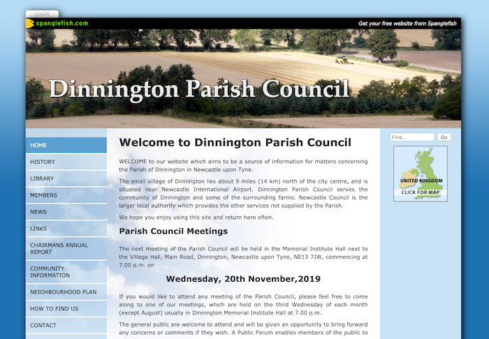
from http://www.spanglefish.com/di…
Dinnington Parish Council
- "WELCOME to our website which aims to be a source of information for matters concerning the Parish of Dinnington in Newcastle upon Tyne.
The small village of Dinnington lies about …
Added by
Simon Cotterill
Co-Curate Page
Dinnington
- Overview About Dinnington Map Street View Dinnington is a village and civil parish in the city of Newcastle upon Tyne in Tyne and Wear, England. It is about 5 …
Co-Curate Page
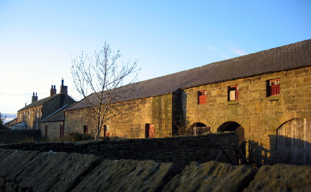
Brenkley
- Overview Map Street View Brenkley is a hamlet which is located about 7 miles north the city centre of Newcastle and 1 mile north-east of the village of Dinnington. Brenkley Lane …
Co-Curate Page
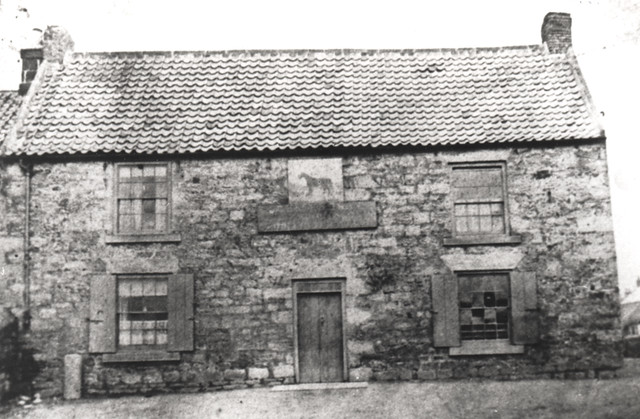
Mason (Dinnington)
- Mason was a medieval settlement located in what is now the north-eastern side of Dinnington (presumably from which the Mason's Arms public house in Dinnington takes it's name). Mason was …


from http://www.spanglefish.com/di…
Dinnington Parish Council
- "WELCOME to our website which aims to be a source of information for matters concerning the Parish of Dinnington in Newcastle upon Tyne.
The small village of Dinnington lies about …
Added by
Simon Cotterill
Co-Curate Page
Dinnington
- Overview About Dinnington Map Street View Dinnington is a village and civil parish in the city of Newcastle upon Tyne in Tyne and Wear, England. It is about 5 …
Co-Curate Page
Brenkley
- Overview Map Street View Brenkley is a hamlet which is located about 7 miles north the city centre of Newcastle and 1 mile north-east of the village of Dinnington. Brenkley Lane …