Topics > Northumberland > Catraw
Catraw
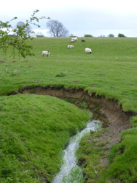
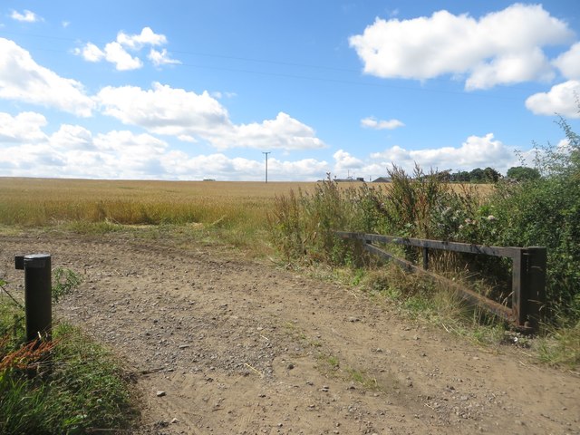
Catraw is a farm / hamlet located a short distance west of the village of Stannington in Northumberland. Catraw Burn, a tributary of the River Blyth, flows nearby. There was once a bastle (fortified farm building) and a quarry here. Catraw is part of Stannington Civil Parish.

from https://keystothepast.info/se…
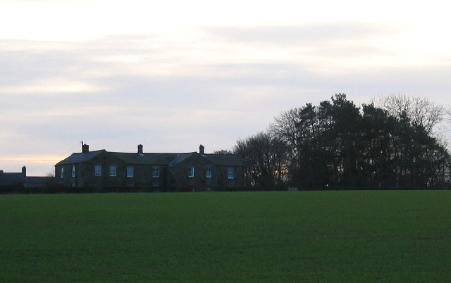
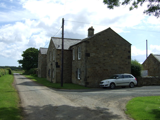
Catraw bastle (Stannington)
- "The old farmhouse at Catraw was demolished in about 1970 and was probably a bastle. Some of the lower walls remain....."
Added by
Simon Cotterill
from https://keystothepast.info/se…
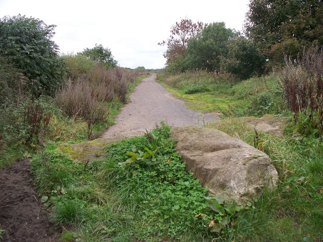
Former quarry in Catraw Valley (Stannington)
- "A 'old quarry' is marked on the second edition (6-inch) Ordnance Survey map of the 1890s. It does not appear on the first edition but must have been of some …
Added by
Simon Cotterill

from https://keystothepast.info/se…
Catraw bastle (Stannington)
- "The old farmhouse at Catraw was demolished in about 1970 and was probably a bastle. Some of the lower walls remain....."
Added by
Simon Cotterill
from https://keystothepast.info/se…
Former quarry in Catraw Valley (Stannington)
- "A 'old quarry' is marked on the second edition (6-inch) Ordnance Survey map of the 1890s. It does not appear on the first edition but must have been of some …
Added by
Simon Cotterill