Topics > Geography > Rivers > River Coquet
River Coquet
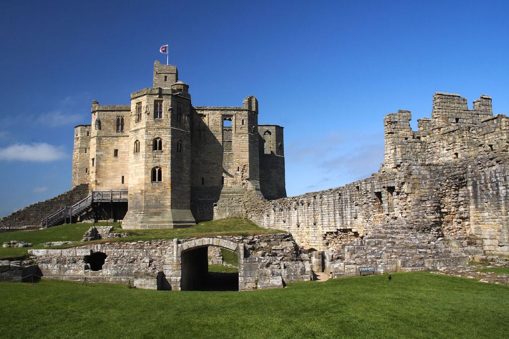
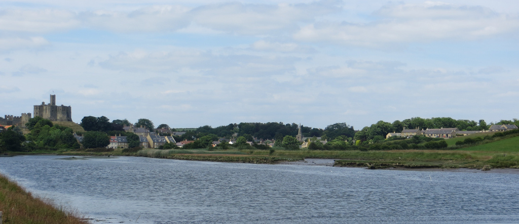
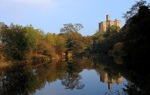
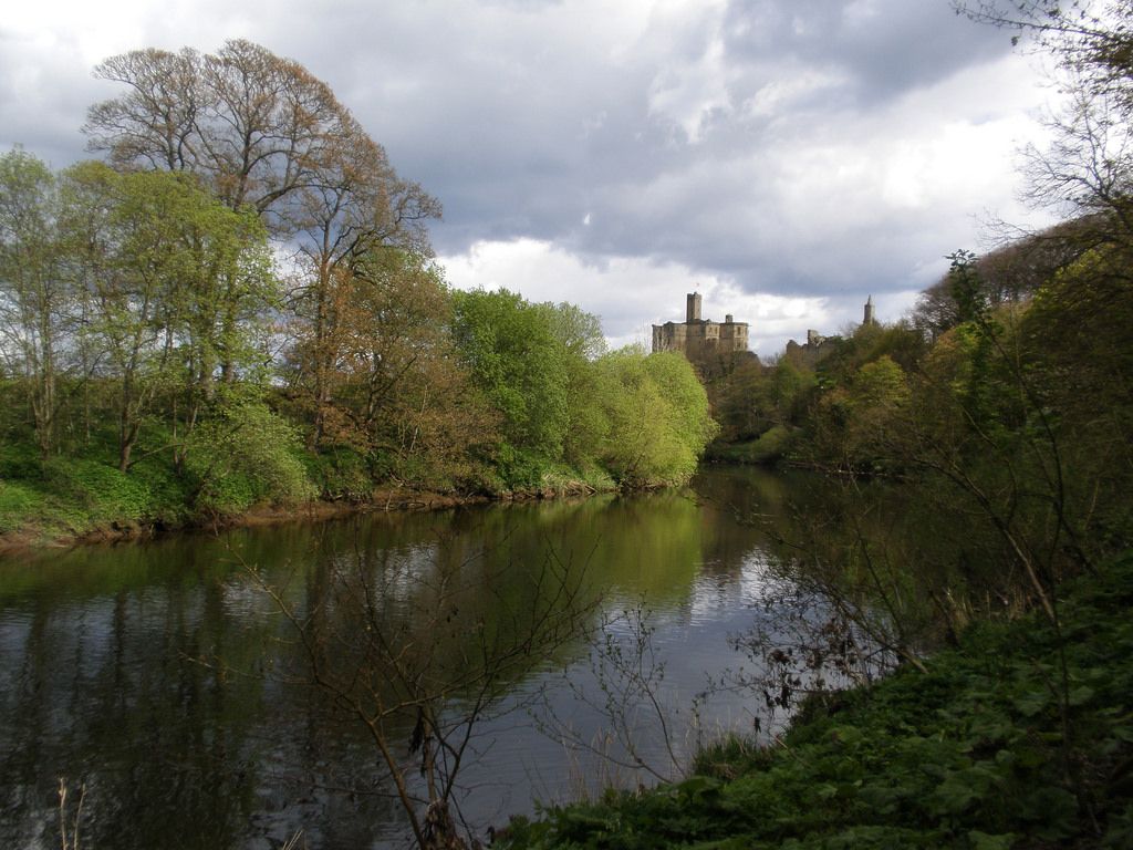
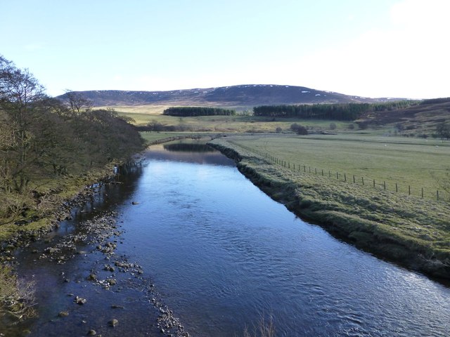
The River Coquet runs through the county of Northumberland, England, discharging into the North Sea on the east coast of England at Amble. Warkworth Castle is built in a loop of the Coquet.
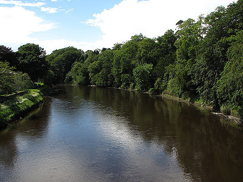
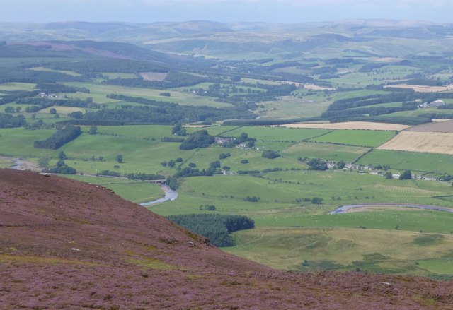
The river, about in length, rises in the Cheviot Hills and follows a course generally easterly, but greatly winding. It passes Harbottle, near which relics of the Stone Age are seen, and Holystone, where it is recorded that Bishop Paulinus baptized a great body of Northumbrians in the year 627. Several earthworks crown hills above this part of the valley and at Cartington, Tosson and Whitton are relics of medieval border fortifications.
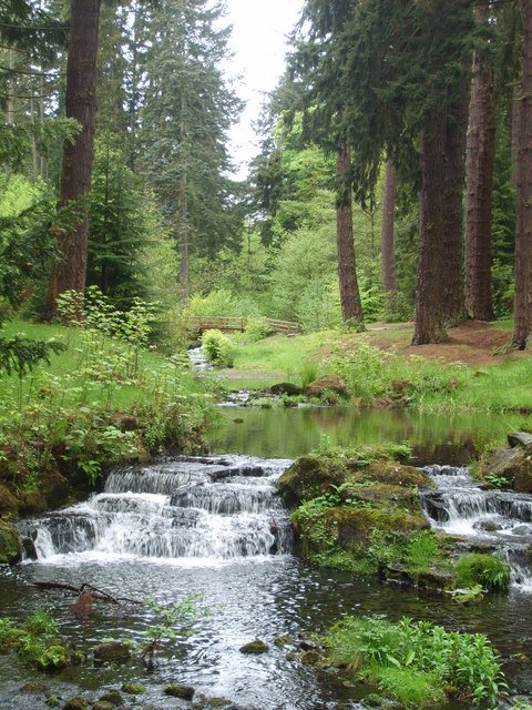
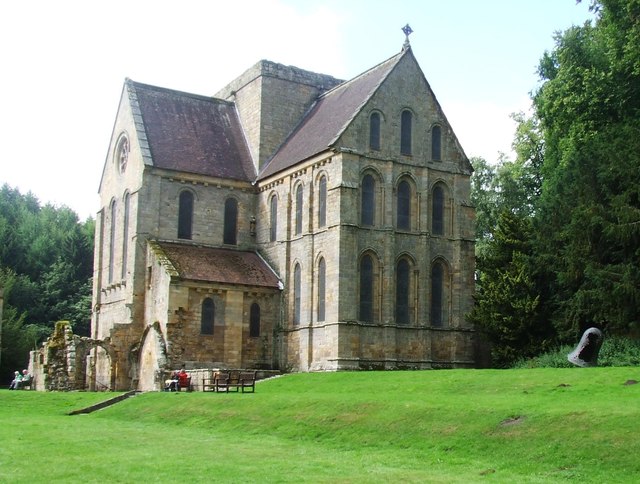
The small town of Rothbury is situated beneath the rugged Simonside Hills. The river dashes through a narrow gully called the Thrum, and then passes Brinkburn Priory, of which the fine Transitional Norman church was restored to use in 1858, while there are fragments of the monastic buildings. This was an Augustinian foundation of the time of Henry I.
A short distance below this the Coquet has its mouth in Warkworth Harbour, with the small port of Amble on the south bank, and Coquet Island a mile out to sea. The river is frequented by sportsmen for salmon and trout fishing. No important tributary is received, but ten smaller tributaries do join the river at intervals, including Usway Burn and the River Alwin.
The earliest known reference to the River Coquet is found in the 7th Century Ravenna Cosmography, where it is known as Coccuveda. Bede referred to Cocuedi fluminis. This can be roughly translated to 'Red River', perhaps reflecting the red porphyritic pebbles found here in large numbers.
The area provides the background to William Gibson's 1828 poem The Sailor or the Coquet Cottage and other Poems some in the Scottish Dialect. Copies of this very rare book are in the British Library and also in the Duke of Northumberland's library at Alnwick Castle.
Visit the page: River Coquet for references and further details. You can contribute to this article on Wikipedia.
| Bridge | Type / Road | Place(s) | Opened | Note. |
| Warkworth New Bridge | Road | Warkworth | 1960's | |
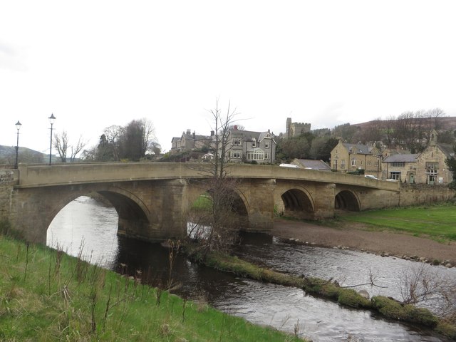
| Warkworth Old Bridge | Road/Foot | Warkworth | C14th | Grade II listed. Now closed to traffic. |
| Black Bridge | Warkworth | |||
| Acklington Railway Viaduct | Rail | Acklington | ||
| Factory Bridge | Road | Acklington Park / Guyzance | ||
| Felton New Bridge | Felton | |||
| Felton Old Bridge | Felton | Grade II* listed | ||
| Felton A1 Bridge | Raoad (A1) | Felton | ||
| Catheugh Bridge | Catheugh | |||
| Weldon A697 Bridge | Road (A697) | 1969 | ||
| Weldon Bridge | Road | Weldon Bridge (village) | c.1760 | Grade I listed |
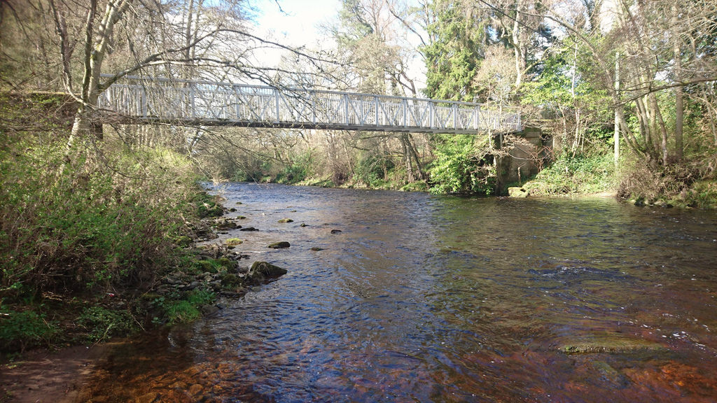
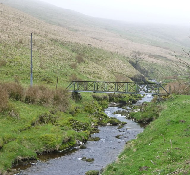
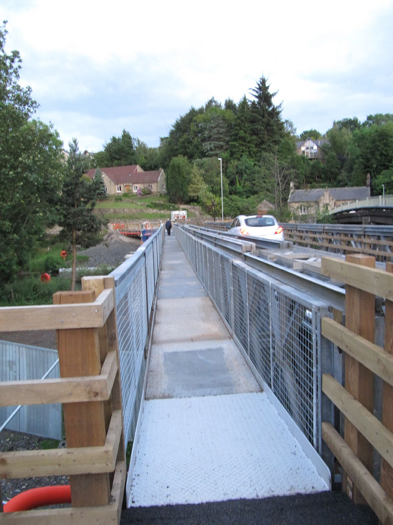
| Brinkburn Footbridge | Footbridge | Brinkburn Priory - Middleheugh | 1898 | |
| Paperhaugh Bridge | Road | Paperhaugh | 1862 | Grade II listed |
| Rothbury Bridge | Road | Rothbury | c.1460 | Grade II listed |
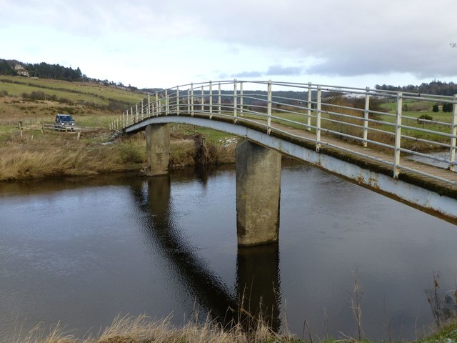
| Rothbury Footbridge | Footbridge | Rothbury | 1965 | |
| Golf Club Bridge | Track | Rothbury | nk | Only the piers remain (2016) |
| Lady's Bridge | Footbridge | Rothbury | 1963 | |
| Thropton Footbridge | ||||
| Caiston Bridge | ||||
| Hepple Bridge | Road (B6341) | Hepple | 1874 | |
| Holystone Footbridge | ||||
| Sharperton Bridge | ||||
| Harbottle footbridge | Footbridge | 1970s | ||
| Alwinton Bridge | 1937 | |||
| Linshiels Bridge | 1958 | |||
| Linbriggs Bridge | 1936 | |||
| Shillmoor Bridge | 1932 | |||
| Bygate Hall Bridge | 1935 | |||
| Wedder Leap Footbridge | Footbridge | |||
| Barrowburn Bridge | 1935 | |||
| Carshope Bridge | 1938 | |||
| Carlcroft Footbridge | 1938 | |||
| Blindburn Footridge | Footbridge | Blindburn | 1955 | |
| Buckham's Bridge | Road | Blindburn | 1955 | |
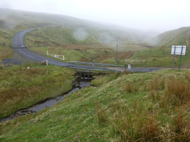
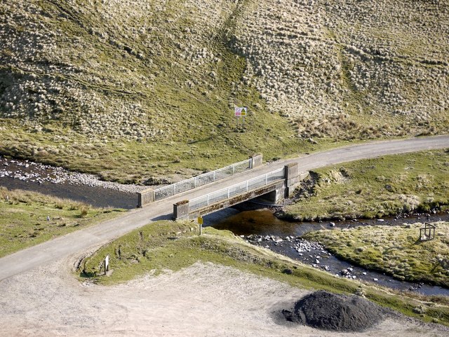
| Makendon Bridge | Road | Makendon | 1968 | |
| Chew Green Bridge | Road | Chew Green | 1968 |
Sources: Bridges On The Coquet & Historic England
from Flickr (flickr)
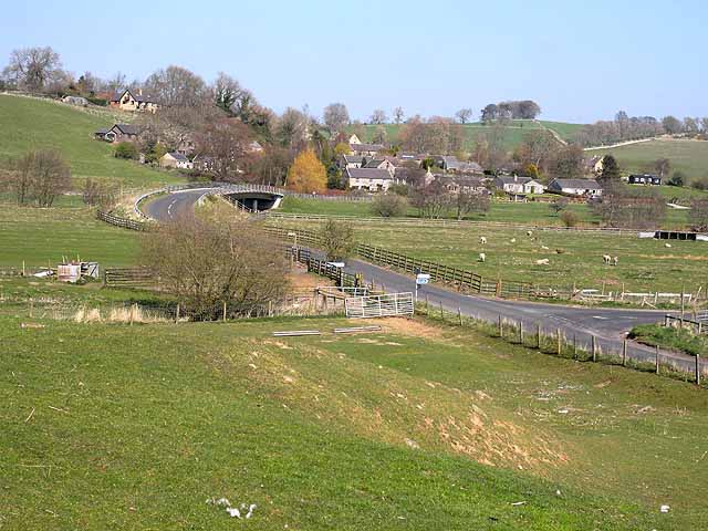
Warkworth et la rivière Coquet, comté de Northumberland, Angleterre, Royaume-Uni.
Pinned by Simon Cotterill

Co-Curate Page
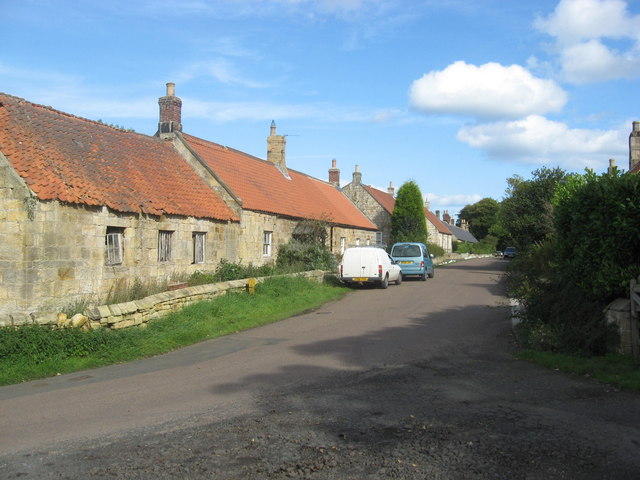
Guyzance
- Overview About Guyzance Map Street View Guyzance is a village in Northumberland, located by the River Coquet and about 5 miles south of Alnwick and 3 miles west of Warkworth. …
Co-Curate Page
Felton
- Overview About Felton Map Street View Felton is a small village in north Northumberland in North East England. Felton is situated about 10 miles south of Alnwick and 9 …
Co-Curate Page
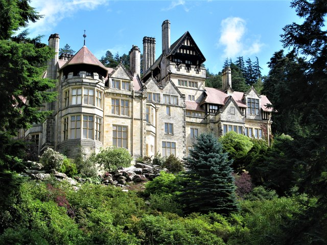
Cragside
- Overview About Cragside Map Street View Cragside was the country house and estate of industrialist Lord William Armstrong and Lady Margaret Armstrong. It was the first house in the world …
Co-Curate Page
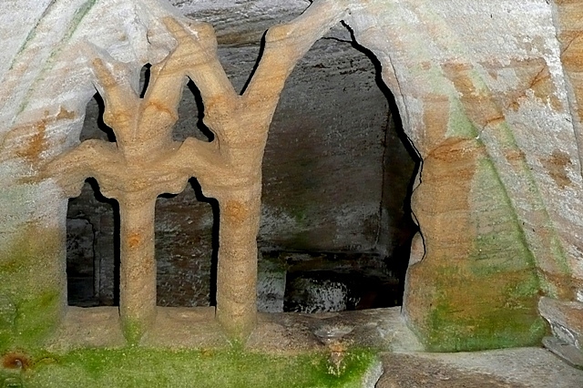
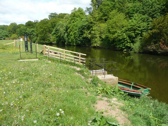
Warkworth Hermitage
- Overview Further Information Map "The Hermitage is reached by boat across the river Coquet. It was almost certainly established in about 1400 by the 1st Earl. Rather than a secluded …

Co-Curate Page
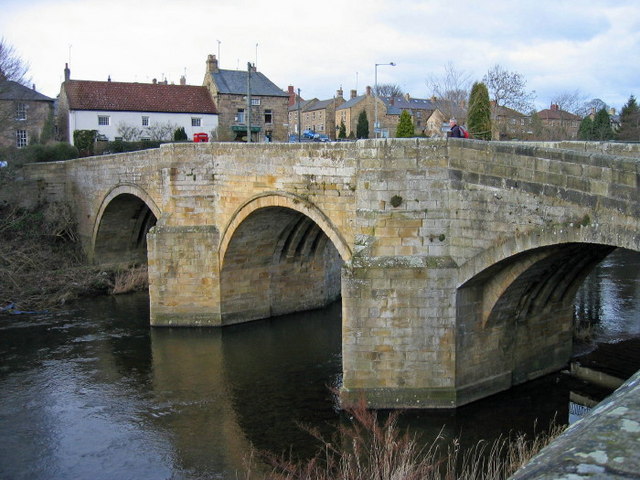
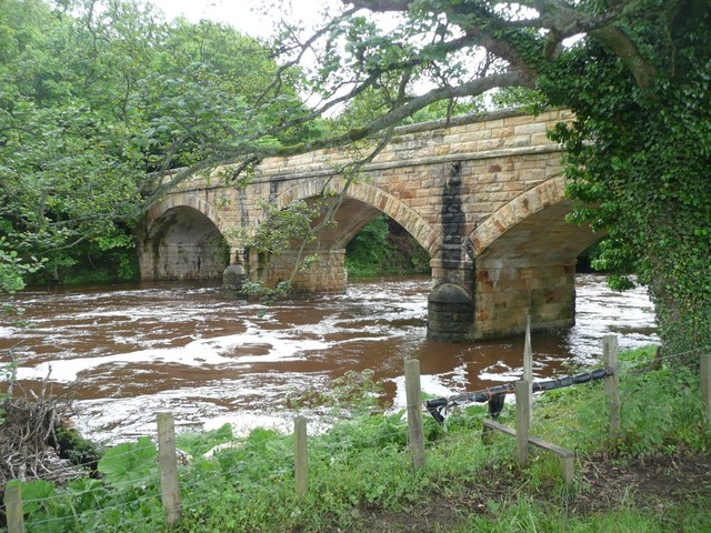
Warkworth Old Bridge
- The old stone bridge over the River Coquet at Warkworth dates from c.1380. John Cook of Newcastle, who died in 1378/9, bequeathed 20 marks towards the building of the bridge.[1] …
Co-Curate Page
Alwinton
- Overview About Alwinton Map Street View Alwinton is a village in Northumberland located in Coquet Valley, close to where the River Alwin joins the River Coquet. About half a mile …
Co-Curate Page
Harbottle
- Overview About Harbottle Map Street View Harbottle is a village in Northumberland, located about 20 miles north-west of Morpeth, and situated by the River Coquet. To the west of the …
Co-Curate Page
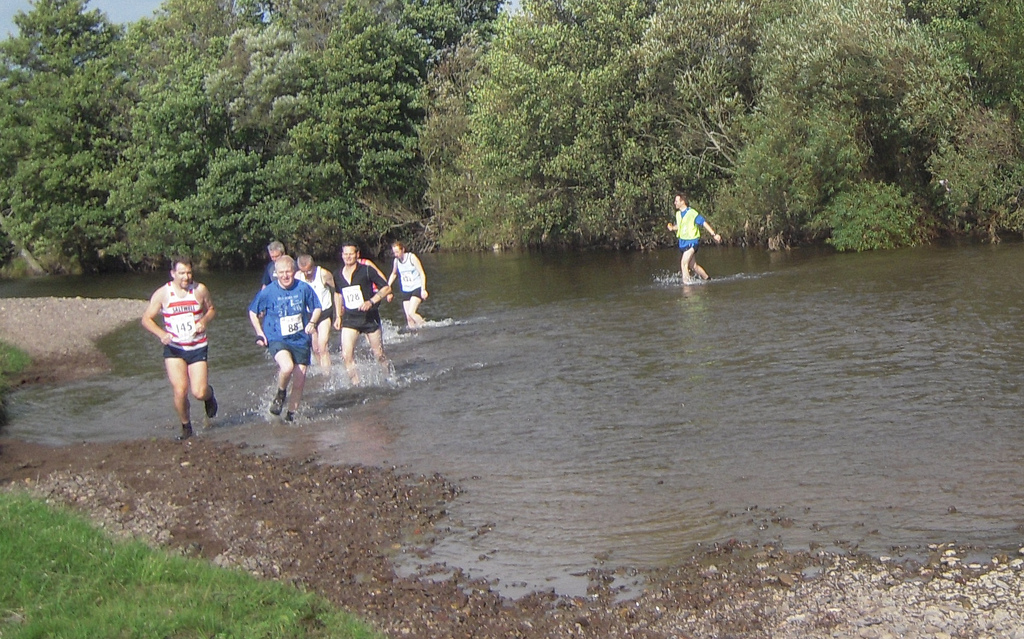
Thropton
- Overview About Thropton Map Street View Thropton, Northumberland. Thropton is a small village in Northumberland, England, situated about 2 miles west of Rothbury near the junction of the Wreigh Burn …
from Flickr (flickr)
Thropton Show - Simonside Fell Race - 2009-09-19--13.32.36 (25).jpg
Pinned by Pat Thomson
Co-Curate Page
River Alwin
- The Alwin is river in Northumberland. It is a tributary of the River Coquet, which it joins mear Alwinton.
Co-Curate Page
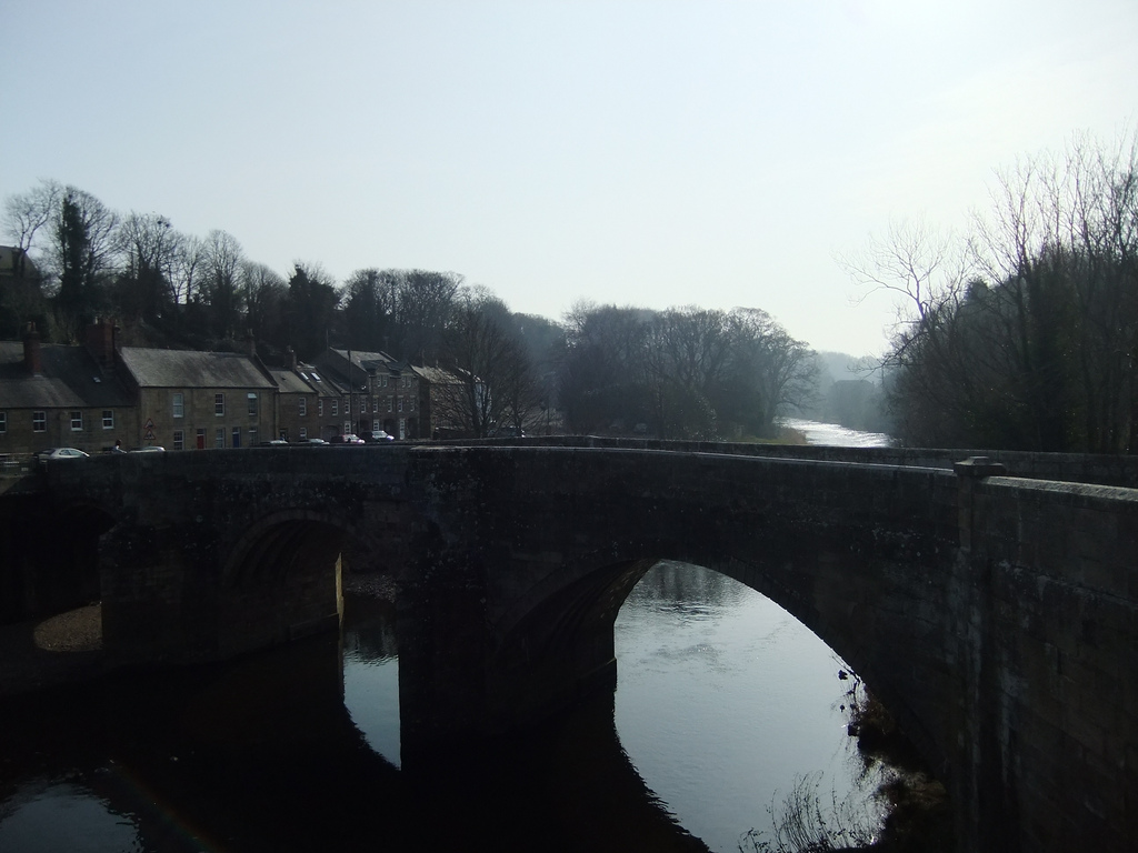
Weldon Bridge
- Overview Map Street View Weldon Bridge is a hamlet situated by the River Coquet in Northumberland; located just off the A697 road between Longhorsley and Longframlington. The stone bridge, which …
Co-Curate Page
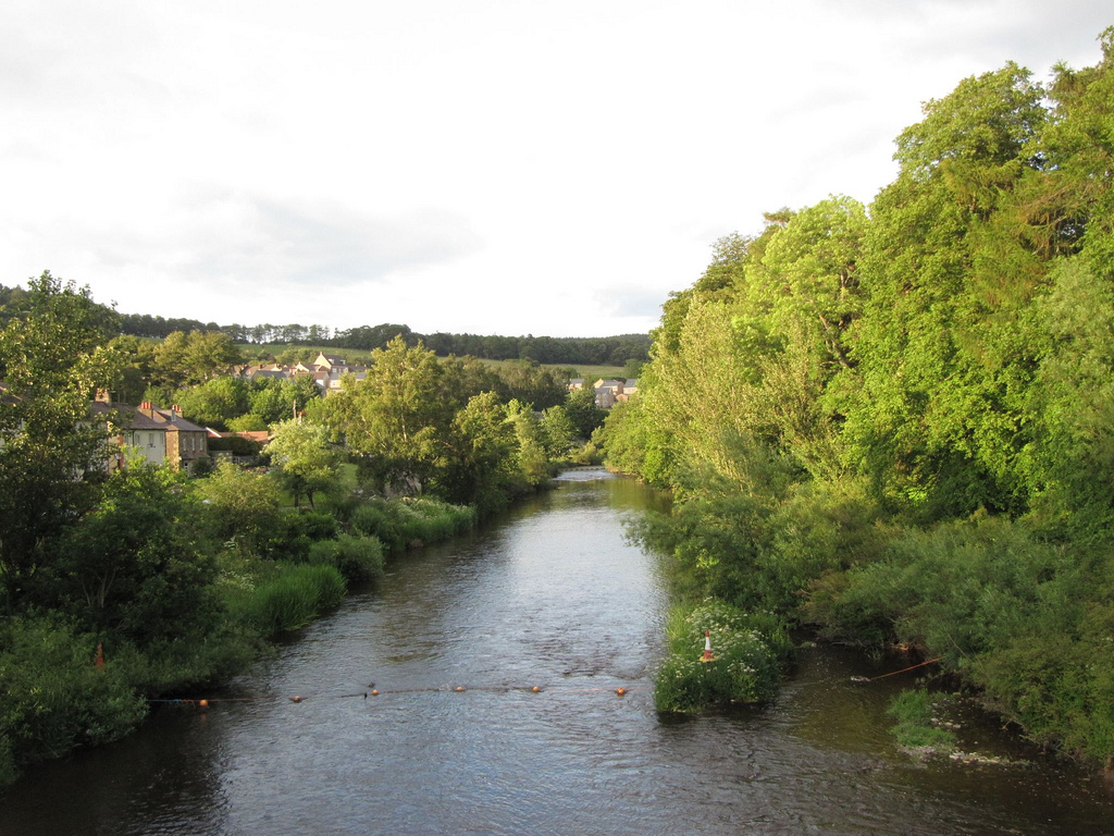
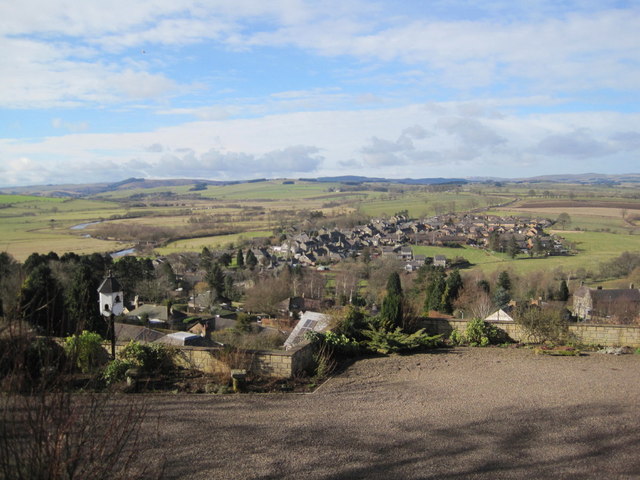
Rothbury
- Overview Further Information Map Street View Rothbury is a traditional market town which straddles the River Coquet. It is located in central Northumberland just over 13 miles noth west of …
Co-Curate Page
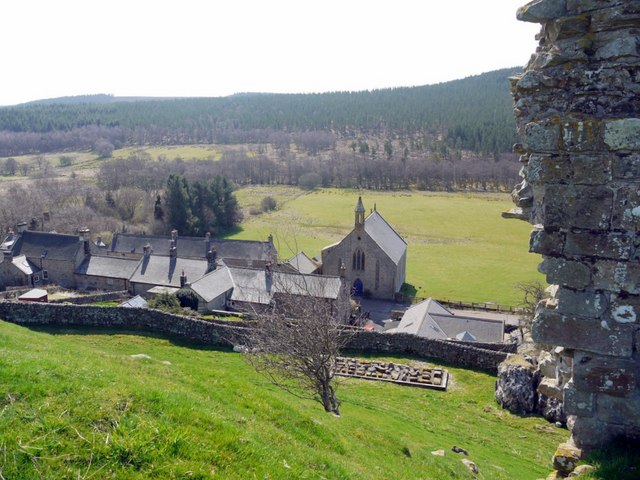
Brinkburn Priory
- Overview About Map Inside Brinkburn Priory was a medieval monastery built on a tight bend of the River Coquet, located 1.8 miles south west of Longframlington, in Northumberland. It was …

Co-Curate Page
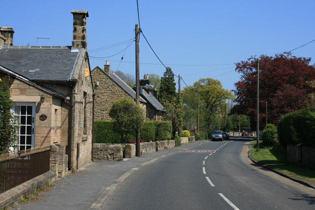
Warkworth
- Overview History Map Street View Warkworth is a village in Northumberland situated in a loop of the River Coquet about 1 mile from the coast. The village's medieval history is …
Co-Curate Page
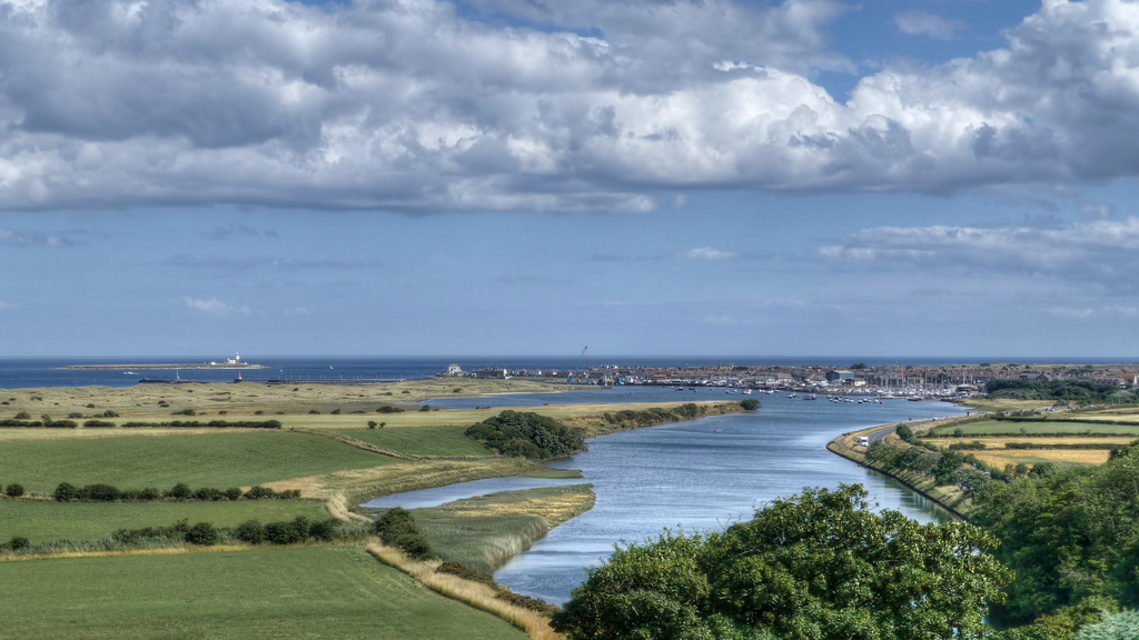
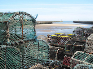
Amble
- Overview History Map Street View Amble is a costal town in Northumberland located at the mouth of the River Coquet, opposite Coquet Island. The town is located just north of …
Co-Curate Page
Pauperhaugh
- Overview Map Street View Pauperhaugh is a hamlet by the River Coquet in Northumberland, located about 4 miles south-east of Rothbury. Historically, Pauperhaugh was a township in the ancient parish …
Co-Curate Page
Pauperhaugh Bridge
- Overview Map Street View Pauperhaugh bridge over the River Coquet.
Co-Curate Page
Hepple
- Overview About Hepple Map Street View Hepple is a small village and parish in rural Northumberland, 4 miles (6.4 km) west of Rothbury, which provides most of its local …
Co-Curate Page
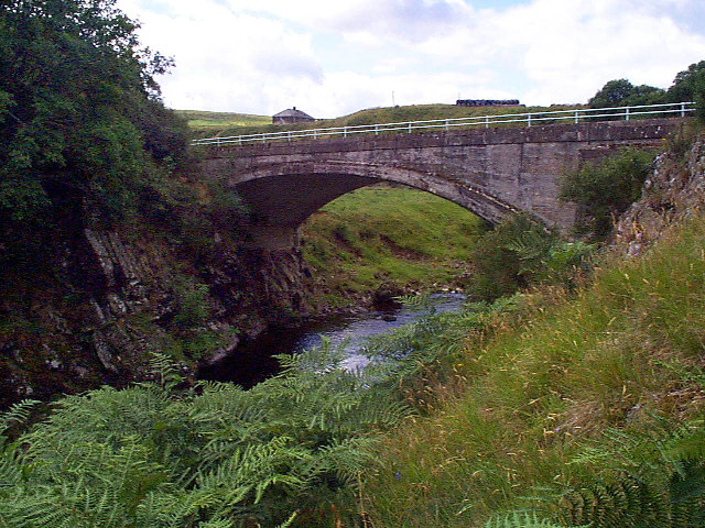
Factory Bridge over River Coquet
- Overview Map Street View This road bridge over the River Coquet was built in c.1865. It is known as Factory Bridge, presumably for the close proximity to the former mill/factory …
Co-Curate Page
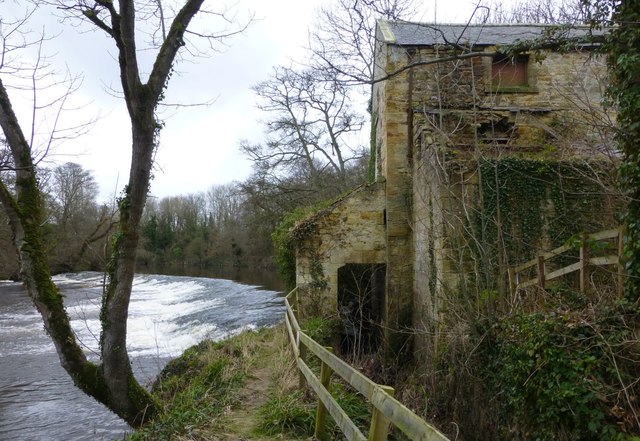
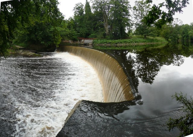
Dam on the River Coquet
- Overview Map This horseshoe-shaped dam on the River Coquet was built in 1775 to provide water power for Park Mill ironworks. The mill and dam were designed by John Smeaton …
Co-Curate Page
Hepple Bridge
- Overview Map Street View Hepple Bridge carries the B6341 road across the River Coquet a quarter of a mile south of Hepple, Northumberland. The bridge dates from 1874, though the …
Co-Curate Page
Bridge at Chew Green
- Overview Map Street View The small concrete bridge over the River Coquet, near the remains of Chew Green Roman Fort, was built in 1968.[1] It is the first bridge over …
Co-Curate Page
Makendon Bridge
- Overview Map Street View The small road bridge over the River Coquet, located just under a quater mile noth-east of Makendon, was built in 1968.[1] It is in a remote …
from Geograph (geograph)
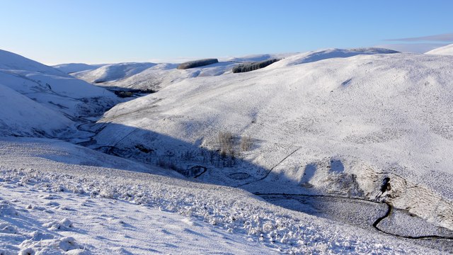
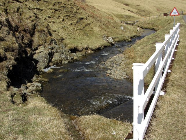
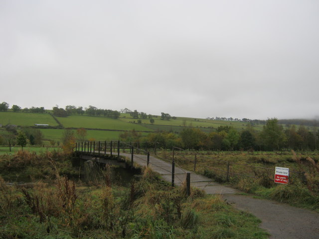
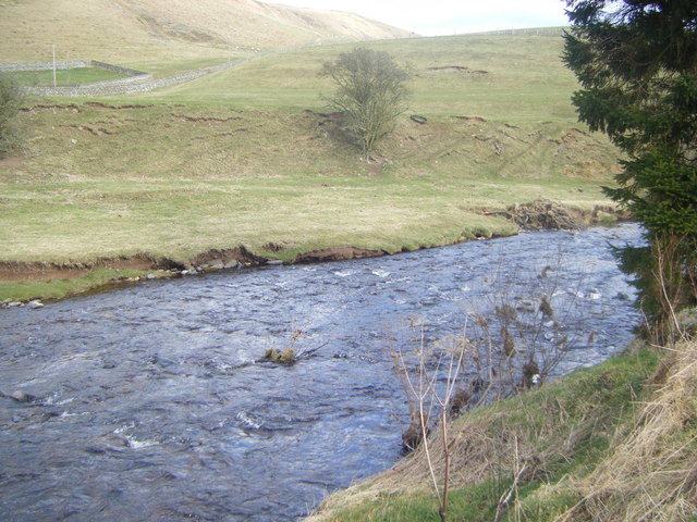
The confluence of Buckham's Walls Burn and the River Coquet
Pinned by Simon Cotterill
Co-Curate Page
Buckham's Bridge, Blindburn
- Overview Map Street View Buckham's Bridge is a road bridge over the River Coquet near Blindburn in Northumberland. The bridge is very close to the confluence of Buckham's Walls Burn …
Co-Curate Page
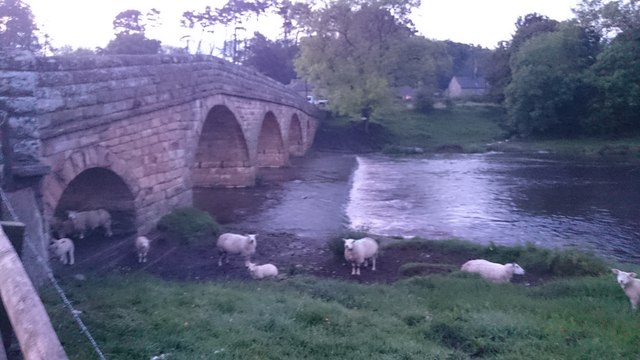
Rothbury Bridge
- Overview Map The road bridge over the River Coquet at Rothbury was originally built in 1460. The bridge is Grade II listed on the National Heritage List for England. The …
Co-Curate Page
Golf Club Bridge
- Overview Map Street View Only the piers remain (2016) after the bridge was damaged.
Co-Curate Page
Sharperton
- Overview Map Street View Sharperton is a hamlet in Northumberland situated by the River Coquet. It is located about 6 miles west of Rothbury, a mile and a half south-east …
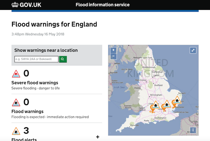
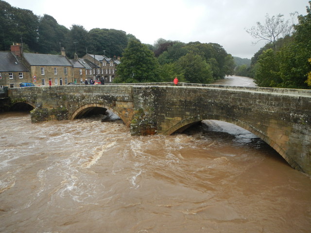
from https://flood-warning-informa…
River level - River Coquet at Rothbury
- River level information from the monitoring station at Rothbury.
Added by
mort42 DEACTIVATED
Co-Curate Page
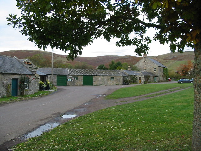
Barrowburn
- Overview Map Street View Barrowburn (aka Barrow Burn) is a remote hamlet in Upper Coquetdale, Northumberland. It is located about 13 miles north-west of Rothbury and 3 miles south of …
Co-Curate Page
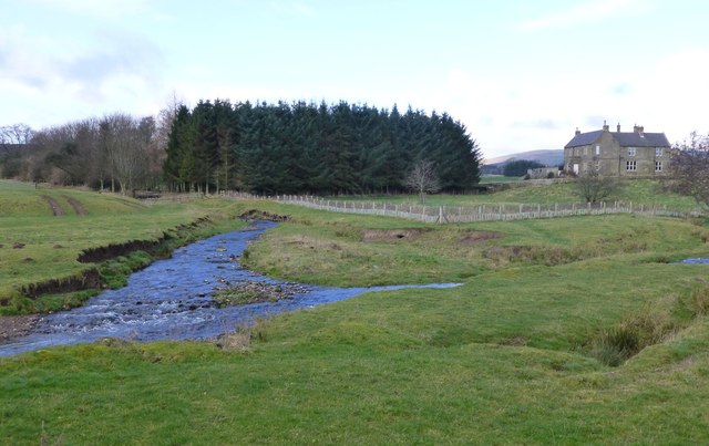
Morwick
- Overview Map Street View Morwick (sometmes spelt Morrick) is a hamlet which is located by the River Coquet, about 1 mile south-west of Warkworth in Northumberland. There is a dairy …
Co-Curate Page
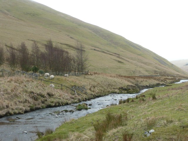
Linbriggs
- Linbriggs is a hamlet by the River Coquest in Northumberland, located about 11 miles north-west of Rothbury and just under 2 miles west of Alwinton. There are remains of medieval …
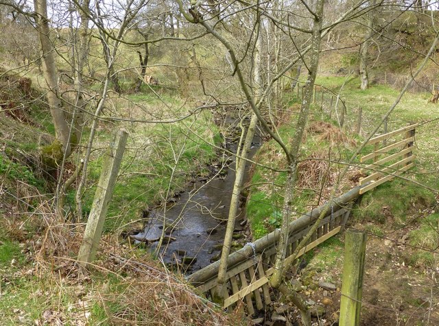
from Geograph (geograph)
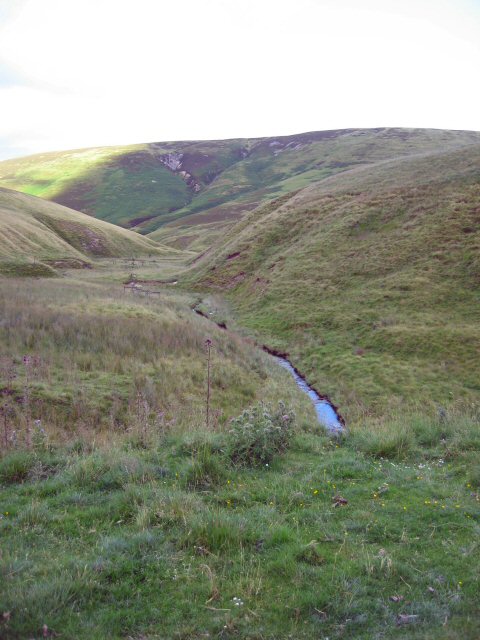
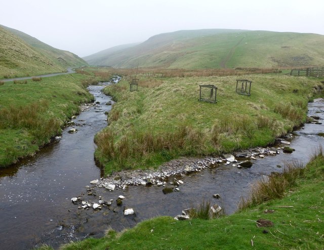
The junction of Ridlees Burn (right) and River Coquet (left) near Linshiels
Pinned by Simon Cotterill
Co-Curate Page
Linshiels
- Overview Map Street View Linshiels is a hamlet in Northumberland, located by the River Coquet, about 11 miles north-west of Rothbury. LINSHEELES, a township, in the parish of Hallystone, union …
Co-Curate Page
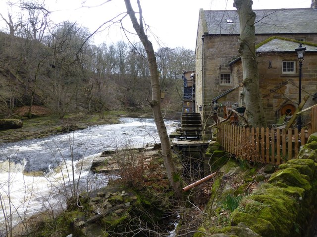
Thrum Mill
- Overview Map Thrum Mill is a hamlet on the north banks of the River Coquet, just west of Rothbury. The water mill here dates from the 18th century, probably on …
Co-Curate Page
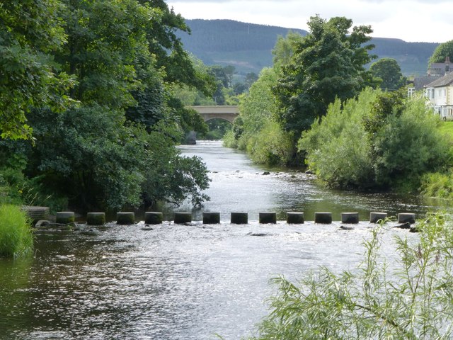
Stepping Stones over the River Coquet
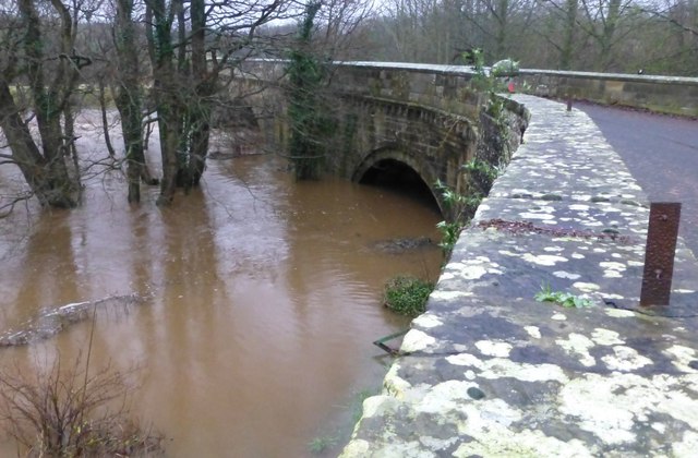
- Overview Map Street View The stepping stones over the River Coquet at Rothbury were restored after some of the stones were damaged by the floods of 2012.
Co-Curate Page
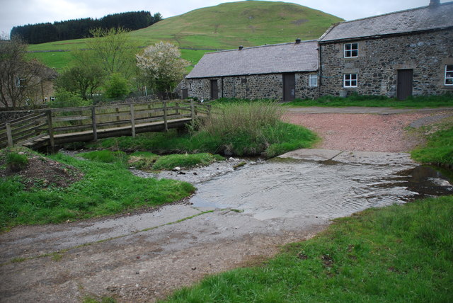
Farnham
- Overview Map Street View The hamlets of Low Farnham and High Farnham are situated by the River Coquet, located about 5 miles west of Rothbury in Northumberland. Low Farnham is …
Co-Curate Page
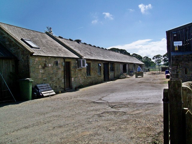
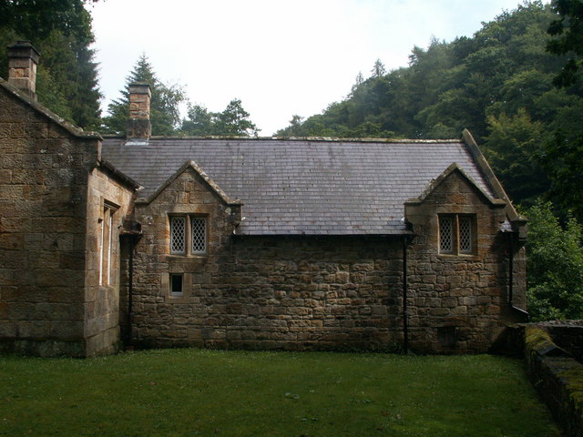
Brinkburn Mill
- Mill and attached miller's cottage. Mill probably C18 with re-used medieval masonry, remodelled and cottage added c.1830. The former mill and cottage are Grade II listed on the National Heritage …
Co-Curate Page
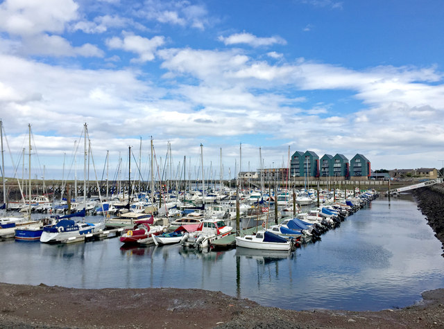
Amble Marina
- Overview Map Street View Amble Marina is located on the estury of the River Coquet, a little further inland of the harbour, on the north side of Amble. The marina …
Co-Curate Page
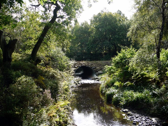
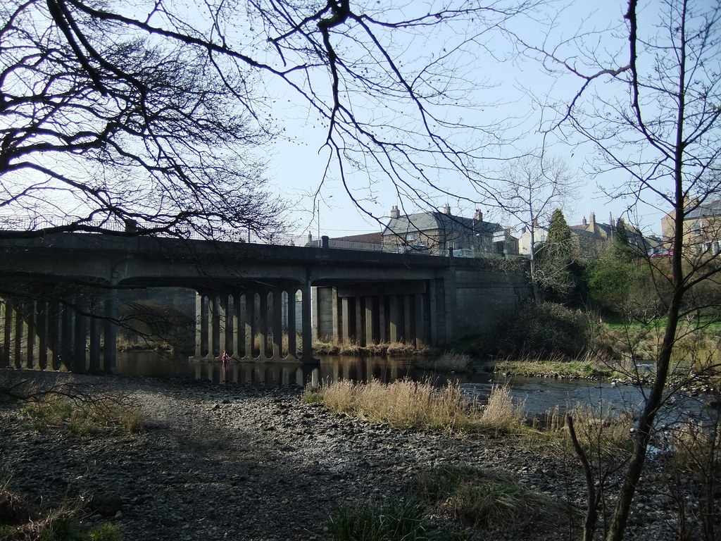
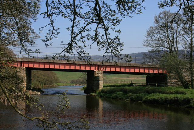
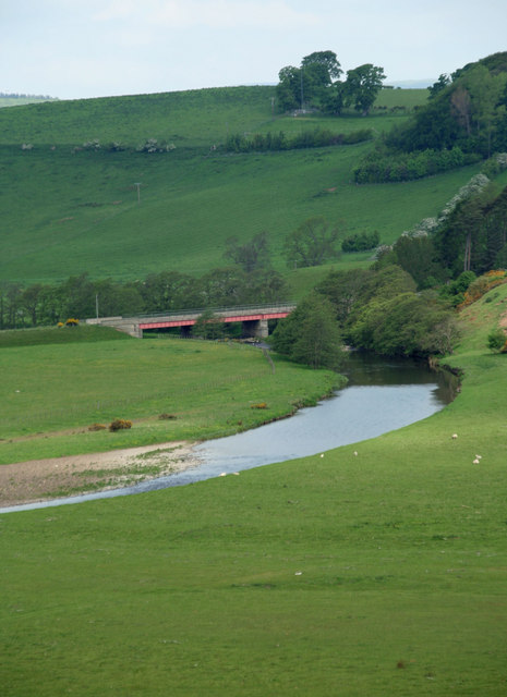
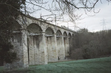
Railway Viaduct east of Guyzance
- Overview Map There is a railway viaduct on the East Coast Mainline, located about half mile east of Guyzance. The viaduct crosses the River Coquet and was originally built 1849-1850, …

from https://www.geograph.org.uk/p…
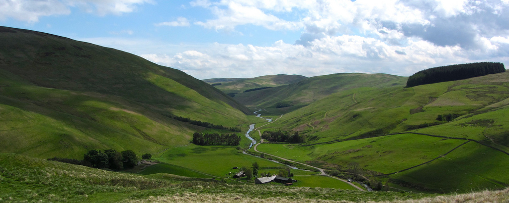
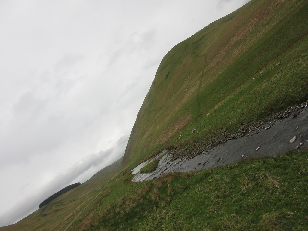
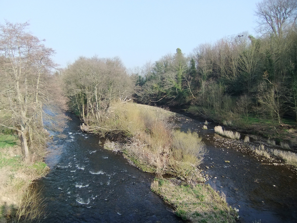
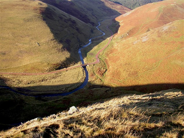
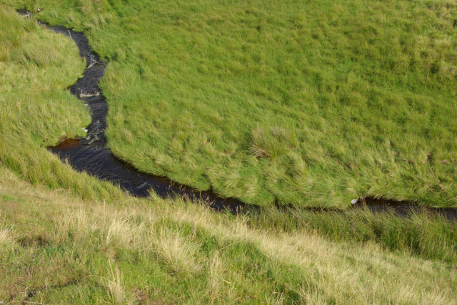
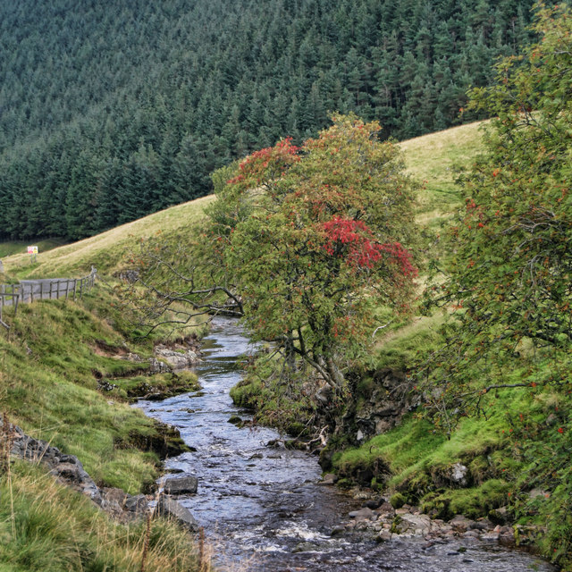
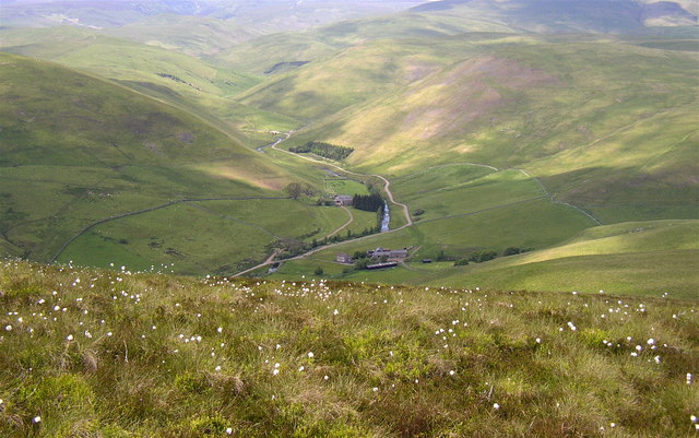
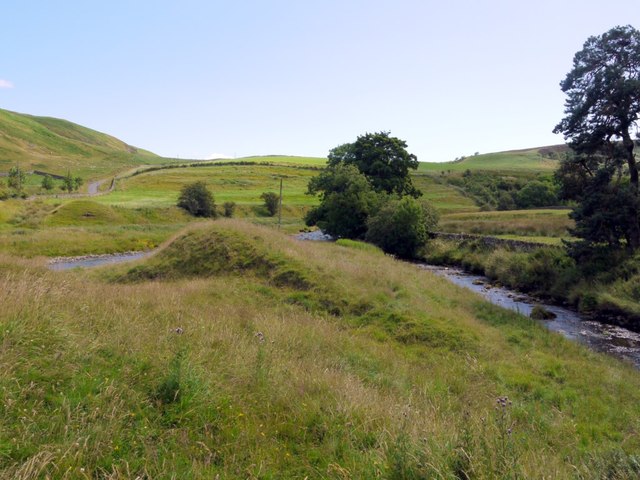
Meanders, Harehaugh
- Meanders on the highly mobile Coquet. Photo by Richard Webb, 1 June, 2013, Geograph, CC-BY-SA 2.0
Added by
Simon Cotterill

Co-Curate Page
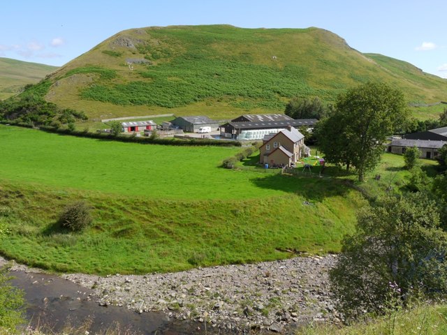
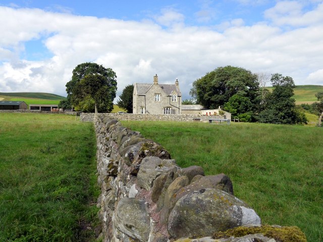
Harehaugh
- Harehaugh is a farm in Northumberland, located just over 1km south-west of Hepple. It is situated by the south banks of the River Coquet and to the west of Grasslees …

from Flickr (flickr)
Warkworth et la rivière Coquet, comté de Northumberland, Angleterre, Royaume-Uni.
Pinned by Simon Cotterill
Co-Curate Page
Guyzance
- Overview About Guyzance Map Street View Guyzance is a village in Northumberland, located by the River Coquet and about 5 miles south of Alnwick and 3 miles west of Warkworth. …
Co-Curate Page
Felton
- Overview About Felton Map Street View Felton is a small village in north Northumberland in North East England. Felton is situated about 10 miles south of Alnwick and 9 …
Co-Curate Page
Cragside
- Overview About Cragside Map Street View Cragside was the country house and estate of industrialist Lord William Armstrong and Lady Margaret Armstrong. It was the first house in the world …
Co-Curate Page
Warkworth Hermitage
- Overview Further Information Map "The Hermitage is reached by boat across the river Coquet. It was almost certainly established in about 1400 by the 1st Earl. Rather than a secluded …
Co-Curate Page
Warkworth Old Bridge
- The old stone bridge over the River Coquet at Warkworth dates from c.1380. John Cook of Newcastle, who died in 1378/9, bequeathed 20 marks towards the building of the bridge.[1] …
Co-Curate Page
Alwinton
- Overview About Alwinton Map Street View Alwinton is a village in Northumberland located in Coquet Valley, close to where the River Alwin joins the River Coquet. About half a mile …
Co-Curate Page
Harbottle
- Overview About Harbottle Map Street View Harbottle is a village in Northumberland, located about 20 miles north-west of Morpeth, and situated by the River Coquet. To the west of the …
Co-Curate Page
Thropton
- Overview About Thropton Map Street View Thropton, Northumberland. Thropton is a small village in Northumberland, England, situated about 2 miles west of Rothbury near the junction of the Wreigh Burn …
from Flickr (flickr)
Thropton Show - Simonside Fell Race - 2009-09-19--13.32.36 (25).jpg
Pinned by Pat Thomson
Co-Curate Page
River Alwin
- The Alwin is river in Northumberland. It is a tributary of the River Coquet, which it joins mear Alwinton.
Co-Curate Page
Weldon Bridge
- Overview Map Street View Weldon Bridge is a hamlet situated by the River Coquet in Northumberland; located just off the A697 road between Longhorsley and Longframlington. The stone bridge, which …
Co-Curate Page
Rothbury
- Overview Further Information Map Street View Rothbury is a traditional market town which straddles the River Coquet. It is located in central Northumberland just over 13 miles noth west of …
Co-Curate Page
Brinkburn Priory
- Overview About Map Inside Brinkburn Priory was a medieval monastery built on a tight bend of the River Coquet, located 1.8 miles south west of Longframlington, in Northumberland. It was …
Co-Curate Page
Warkworth
- Overview History Map Street View Warkworth is a village in Northumberland situated in a loop of the River Coquet about 1 mile from the coast. The village's medieval history is …
Co-Curate Page
Amble
- Overview History Map Street View Amble is a costal town in Northumberland located at the mouth of the River Coquet, opposite Coquet Island. The town is located just north of …
Co-Curate Page
Pauperhaugh
- Overview Map Street View Pauperhaugh is a hamlet by the River Coquet in Northumberland, located about 4 miles south-east of Rothbury. Historically, Pauperhaugh was a township in the ancient parish …
Co-Curate Page
Pauperhaugh Bridge
- Overview Map Street View Pauperhaugh bridge over the River Coquet.
Co-Curate Page
Hepple
- Overview About Hepple Map Street View Hepple is a small village and parish in rural Northumberland, 4 miles (6.4 km) west of Rothbury, which provides most of its local …
Co-Curate Page
Factory Bridge over River Coquet
- Overview Map Street View This road bridge over the River Coquet was built in c.1865. It is known as Factory Bridge, presumably for the close proximity to the former mill/factory …
Co-Curate Page
Dam on the River Coquet
- Overview Map This horseshoe-shaped dam on the River Coquet was built in 1775 to provide water power for Park Mill ironworks. The mill and dam were designed by John Smeaton …
Co-Curate Page
Hepple Bridge
- Overview Map Street View Hepple Bridge carries the B6341 road across the River Coquet a quarter of a mile south of Hepple, Northumberland. The bridge dates from 1874, though the …
Co-Curate Page
Bridge at Chew Green
- Overview Map Street View The small concrete bridge over the River Coquet, near the remains of Chew Green Roman Fort, was built in 1968.[1] It is the first bridge over …
Co-Curate Page
Makendon Bridge
- Overview Map Street View The small road bridge over the River Coquet, located just under a quater mile noth-east of Makendon, was built in 1968.[1] It is in a remote …
from Geograph (geograph)
The confluence of Buckham's Walls Burn and the River Coquet
Pinned by Simon Cotterill
Co-Curate Page
Buckham's Bridge, Blindburn
- Overview Map Street View Buckham's Bridge is a road bridge over the River Coquet near Blindburn in Northumberland. The bridge is very close to the confluence of Buckham's Walls Burn …
Co-Curate Page
Rothbury Bridge
- Overview Map The road bridge over the River Coquet at Rothbury was originally built in 1460. The bridge is Grade II listed on the National Heritage List for England. The …
Co-Curate Page
Golf Club Bridge
- Overview Map Street View Only the piers remain (2016) after the bridge was damaged.
Co-Curate Page
Sharperton
- Overview Map Street View Sharperton is a hamlet in Northumberland situated by the River Coquet. It is located about 6 miles west of Rothbury, a mile and a half south-east …
from https://flood-warning-informa…
River level - River Coquet at Rothbury
- River level information from the monitoring station at Rothbury.
Added by
mort42 DEACTIVATED
Co-Curate Page
Barrowburn
- Overview Map Street View Barrowburn (aka Barrow Burn) is a remote hamlet in Upper Coquetdale, Northumberland. It is located about 13 miles north-west of Rothbury and 3 miles south of …
Co-Curate Page
Morwick
- Overview Map Street View Morwick (sometmes spelt Morrick) is a hamlet which is located by the River Coquet, about 1 mile south-west of Warkworth in Northumberland. There is a dairy …
Co-Curate Page
Linbriggs
- Linbriggs is a hamlet by the River Coquest in Northumberland, located about 11 miles north-west of Rothbury and just under 2 miles west of Alwinton. There are remains of medieval …
from Geograph (geograph)
The junction of Ridlees Burn (right) and River Coquet (left) near Linshiels
Pinned by Simon Cotterill
Co-Curate Page
Linshiels
- Overview Map Street View Linshiels is a hamlet in Northumberland, located by the River Coquet, about 11 miles north-west of Rothbury. LINSHEELES, a township, in the parish of Hallystone, union …
Co-Curate Page
Thrum Mill
- Overview Map Thrum Mill is a hamlet on the north banks of the River Coquet, just west of Rothbury. The water mill here dates from the 18th century, probably on …
Co-Curate Page
Stepping Stones over the River Coquet
- Overview Map Street View The stepping stones over the River Coquet at Rothbury were restored after some of the stones were damaged by the floods of 2012.
Co-Curate Page
Farnham
- Overview Map Street View The hamlets of Low Farnham and High Farnham are situated by the River Coquet, located about 5 miles west of Rothbury in Northumberland. Low Farnham is …
Co-Curate Page
Brinkburn Mill
- Mill and attached miller's cottage. Mill probably C18 with re-used medieval masonry, remodelled and cottage added c.1830. The former mill and cottage are Grade II listed on the National Heritage …
Co-Curate Page
Amble Marina
- Overview Map Street View Amble Marina is located on the estury of the River Coquet, a little further inland of the harbour, on the north side of Amble. The marina …
Co-Curate Page
Railway Viaduct east of Guyzance
- Overview Map There is a railway viaduct on the East Coast Mainline, located about half mile east of Guyzance. The viaduct crosses the River Coquet and was originally built 1849-1850, …
from https://www.geograph.org.uk/p…
Meanders, Harehaugh
- Meanders on the highly mobile Coquet. Photo by Richard Webb, 1 June, 2013, Geograph, CC-BY-SA 2.0
Added by
Simon Cotterill