Topics > Northumberland > Amble
Amble
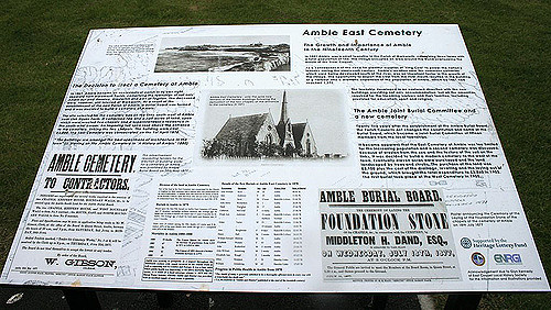
Various urns, cists, flint spearheads and other evidence of ancient burials were found near to Amble in the 1880s and 1890s. Some of those remains showed signs of cremation.
Outcrops of coal had been found along the coastline between the River Coquet and the River Tyne at least as long ago as the reign of Elizabeth I, when unsuccessful attempts had been made to extract and transport it in an economic manner. A failed proposal to use Amble as a port for the shipment of locally sourced coal and salt is recorded in 1618, although this failure did not discourage William Hewitt from making the then rare decision to reserve for himself the rights to the coal when he sold the townships of Amble and Hauxley in 1630. A significant factor in the failure of all the early attempts, when compared to the success of ventures in the valleys of the Tyne and the Wear, was that of economies of scale. Those more successful areas at that time had plentiful easily accessed reserves which encouraged investment and the sharing of fixed costs such as harbour facilities, buildings and machinery among a large number of enterprises.
The early situation changed as the operators in the valleys exhausted the cheaply extracted ores and found themselves having to mine deeper and also further away from the rivers that were used for transport, thus increasing their costs per unit of coal mined. Some coal was probably being shipped from previously uneconomic places such Amble and Blyth by the end of the seventeenth century, and it was certainly being extracted at Amble by that time.
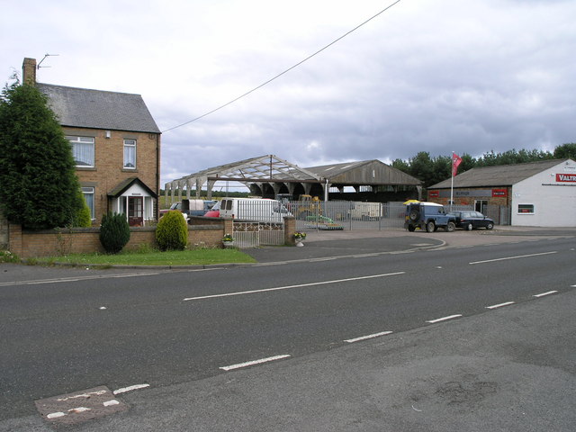
Amble grew in the nineteenth century as collieries were opened; and the newly built railway links to the Northumberland coalfields made the town a centre for the sea transport and export of coal. Prior to the development of the harbour, the town was "little more than a hamlet", according to the architectural guides originally compiled by Nikolaus Pevsner. The principal local mineworkings were those at Broomhill and at Radcliffe.
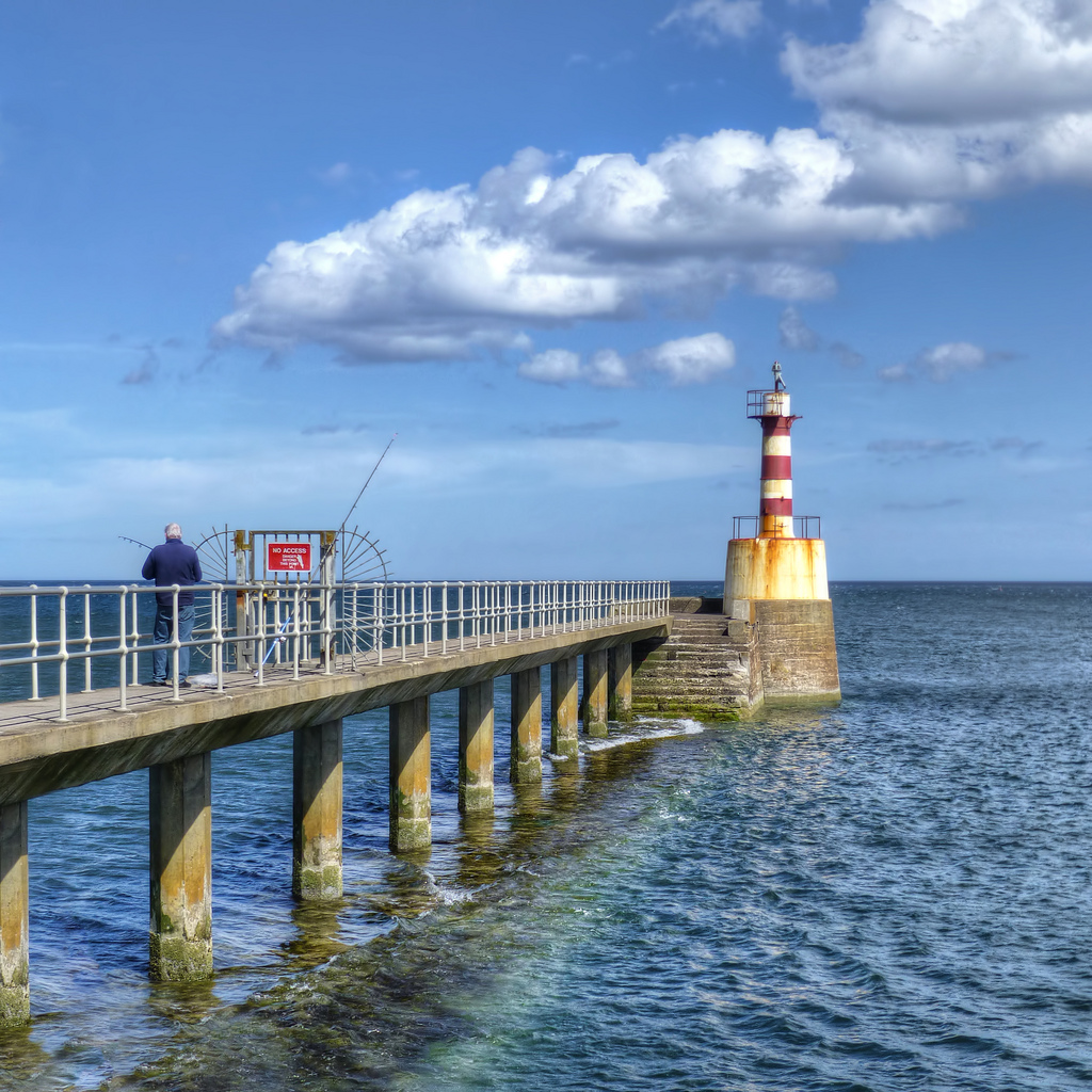
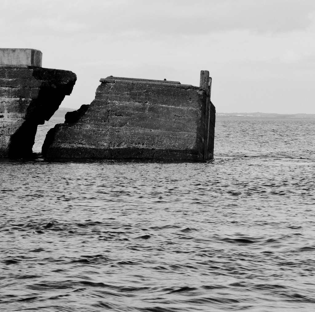
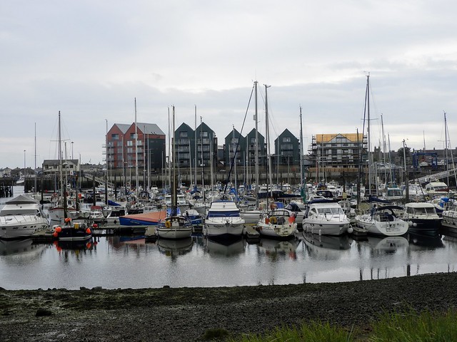
The harbour at Amble was the smallest of those that served the coalfields of Northumberland and Durham. It was originally under the control of the Dukes of Northumberland until, in 1837, a port authority – the Warkworth Harbour Commission – was created to supervise improvements. Following consultations with various engineers, the proposals submitted by John Rennie in 1838 were accepted. These included the construction of breakwaters to the north and the south, which were eventually completed in 1849 at a total cost of £116,000. The larger northern breakwater, which was originally in length, was extended in the early part of the 20th century but suffered from the undermining effects of the tide and required shoring with slag brought in from the ironworks of Hartlepool and Middlesbrough.
The construction of docks had also been mooted in 1844 and 1850 but the arrival of the railway led instead to the construction of coal staithes. A change in consulting engineer in 1869 resulted in extensive dredging of the harbour but did not greatly improve the prospects of the port. Shipments of coal amounted to over 500,000 tons by 1914 but this was a modest volume when compared to the other regional ports. Robert Rennison notes with regard to the relative lack of prosperity that the port served a "small and discrete coalfield".
The railway branched on a single track to Amble at a point near to Chevington and was opened in September 1849 by the York, Newcastle and Berwick Railway, initially as a freight-only line. Passenger services between Amble and Chevington began in 1879, following the construction of a station at Broomhill in 1878 and facilities at Amble itself. The line between Amble and Broomhill was double-track. The passenger service ended in July 1930 and the general freight service was withdrawn in 1964. Coal traffic, which had amounted to around 750,000 tons annually in the 1920s, came to an end in 1969 when the line was closed completely.
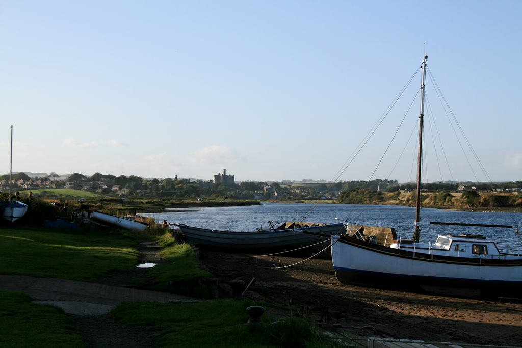
Other industries, such as sea fishing and both ship building and repair in an area known as the Braid had expanded with the growth of the town. Traditional Northumbrian fishing vessels such as cobles had previously sheltered in the natural harbour for centuries. One local coble manufacturing business, J. & J. Harrison, founded in 1870, had been the first to introduce engines to the form and was still producing it in 1973, along with more generally utilised craft.
Amble Golf Club (now defunct) was founded in 1910. The club disappeared in the late 1950s.

from http://www.keystothepast.info…
Local History: Amble
- "The village of Amble sits at the mouth of the River Coquet, opposite Coquet Island. Although most of the parish is to the south of the river, a small area …
Added by
Pat Thomson
from Flickr (flickr)
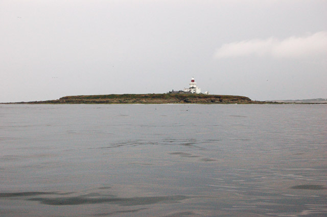
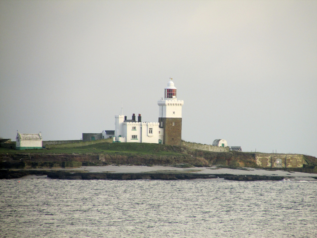
Coquet Island viewed from Amble Harbour, Amble, Northumberland
Pinned by Pat Thomson
from https://www.fusilier.co.uk/
Amble and District Local History
- " Amble town is located on the Northumberland coast at the mouth of the river Coquet, sitting on a modest promontory dividing Druridge Bay to the south and Alnmouth Bay …
Added by
Simon Cotterill


from http://www.theambler.co.uk/
The Ambler
- Website of The Ambler: "Amble's Community Newspaper: News & events from Amble in Northumberland – The Kindliest Port."
Added by
Simon Cotterill


from Youtube (youtube)
A cold amble around The Pier and Shore-Line of Amble, Northumberland.
Pinned by Simon Cotterill
Co-Curate Page
Gloster Hill, Amble
- Overview Map Street View GLOSTER-HILL, a township, in the parish of Warkworth, union of Alnwick, E. division of Coquetdale ward, N. division of Northumberland, 8½ miles (S.E.) from Alnwick; containing …

Co-Curate Page
James Calvert Spence (1892 - 1954)
- James Calvert Spence was a pioneering paediatrician who was a founding member of the British Paediatric Association and helped establish the field of social paediatrics. Spence was born in Amble …
Co-Curate Page
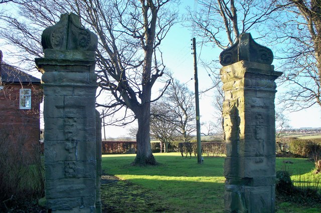
Historic Buildings and Monuments in Amble
- Listed buildings and scheduled monuments in Amble Civil Parish, Northumberland, from the National Heritage List for England[1]. In the absence of a published 'local list', some other public buildings of …


Co-Curate Page
Warkworth Parish, 1855
- Extract from: History, Topography, and Directory of Northumberland...Whellan, William, & Co, 1855. WARKWORTH PARISH WARKWORTH, a parish in the eastern division of Morpeth ward, and eastern division of Coquetdale …

from http://www.keystothepast.info…
Local History: Amble
- "The village of Amble sits at the mouth of the River Coquet, opposite Coquet Island. Although most of the parish is to the south of the river, a small area …
Added by
Pat Thomson
from Flickr (flickr)
Coquet Island viewed from Amble Harbour, Amble, Northumberland
Pinned by Pat Thomson
from https://www.fusilier.co.uk/
Amble and District Local History
- " Amble town is located on the Northumberland coast at the mouth of the river Coquet, sitting on a modest promontory dividing Druridge Bay to the south and Alnmouth Bay …
Added by
Simon Cotterill
from http://www.theambler.co.uk/
The Ambler
- Website of The Ambler: "Amble's Community Newspaper: News & events from Amble in Northumberland – The Kindliest Port."
Added by
Simon Cotterill
from Youtube (youtube)
A cold amble around The Pier and Shore-Line of Amble, Northumberland.
Pinned by Simon Cotterill
Co-Curate Page
Gloster Hill, Amble
- Overview Map Street View GLOSTER-HILL, a township, in the parish of Warkworth, union of Alnwick, E. division of Coquetdale ward, N. division of Northumberland, 8½ miles (S.E.) from Alnwick; containing …
Co-Curate Page
James Calvert Spence (1892 - 1954)
- James Calvert Spence was a pioneering paediatrician who was a founding member of the British Paediatric Association and helped establish the field of social paediatrics. Spence was born in Amble …
Co-Curate Page
Historic Buildings and Monuments in Amble
- Listed buildings and scheduled monuments in Amble Civil Parish, Northumberland, from the National Heritage List for England[1]. In the absence of a published 'local list', some other public buildings of …
Co-Curate Page
Warkworth Parish, 1855
- Extract from: History, Topography, and Directory of Northumberland...Whellan, William, & Co, 1855. WARKWORTH PARISH WARKWORTH, a parish in the eastern division of Morpeth ward, and eastern division of Coquetdale …

Northumberland

Amble - description from 1825

Amble at War

Amble Conservation Area
Amble First School
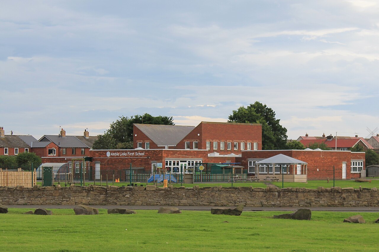
Amble Links First School
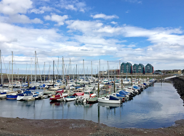
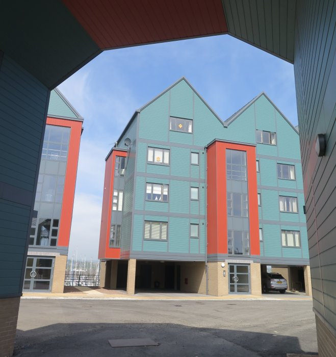
Amble Marina
Bygone Amble
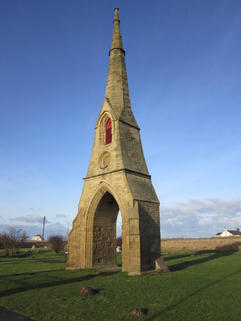
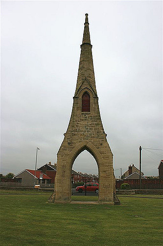
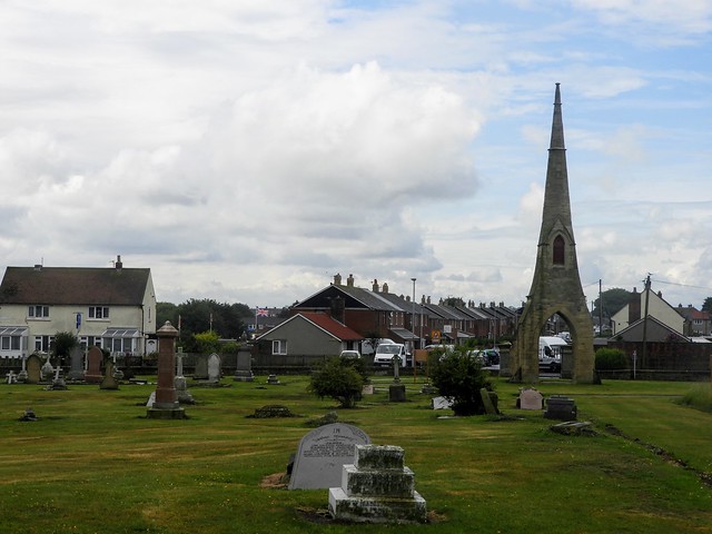
Cemetery Spire, Amble
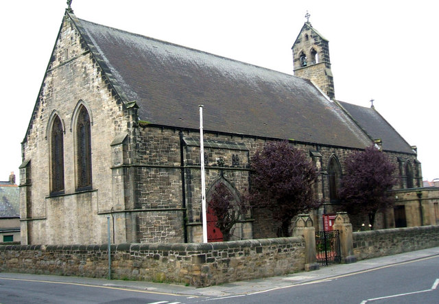
Church of St Cuthbert, Amble
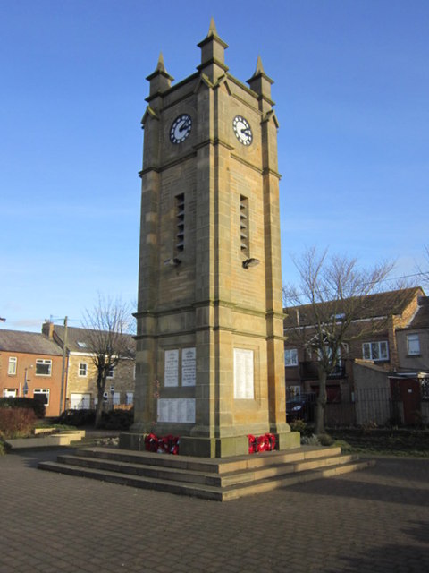
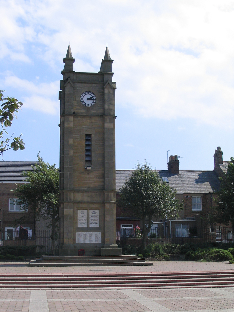
War Memorial, Amble

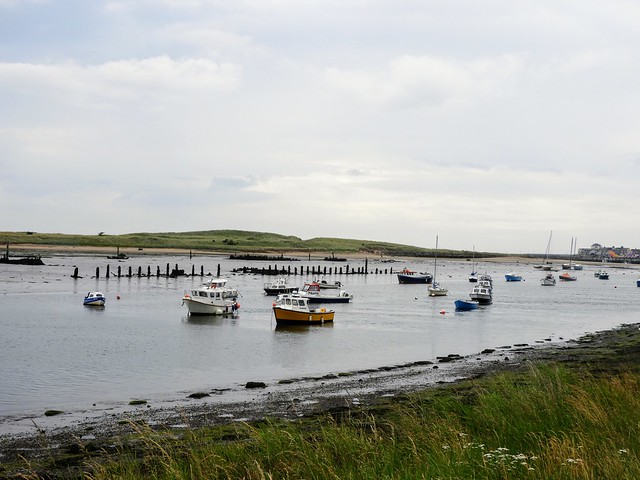
Druridge Bay
James Calvert Spence College
Map and Aerial View of Amble

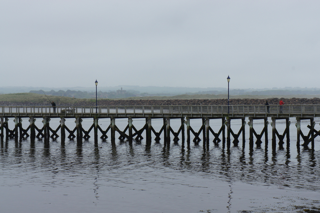
The Dock, Amble

The Waterloo, Amble
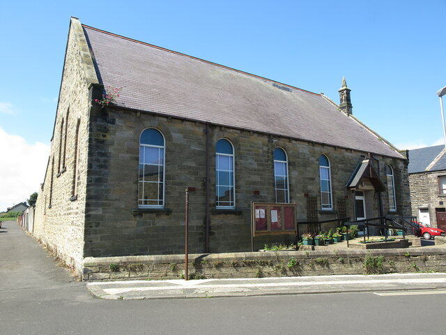
Trinity Methodist Church, Amble
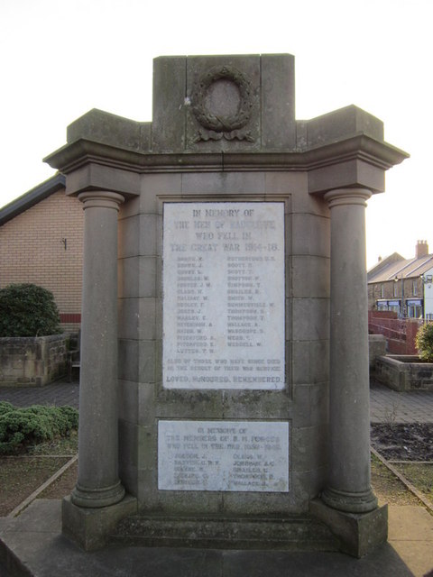
War Memorial for Radcliffe at Amble