Topics > Northumberland > Sharperton
Sharperton
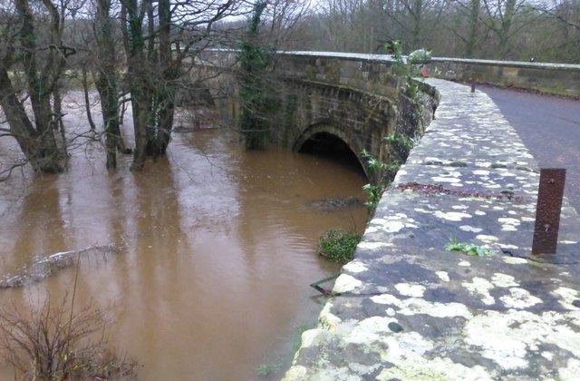
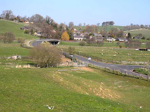
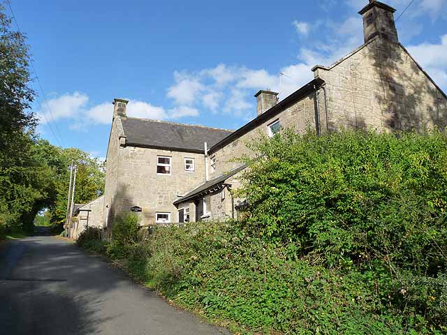
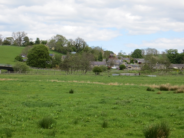
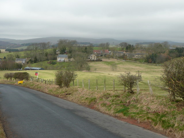
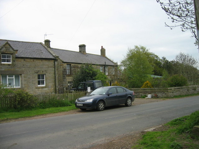
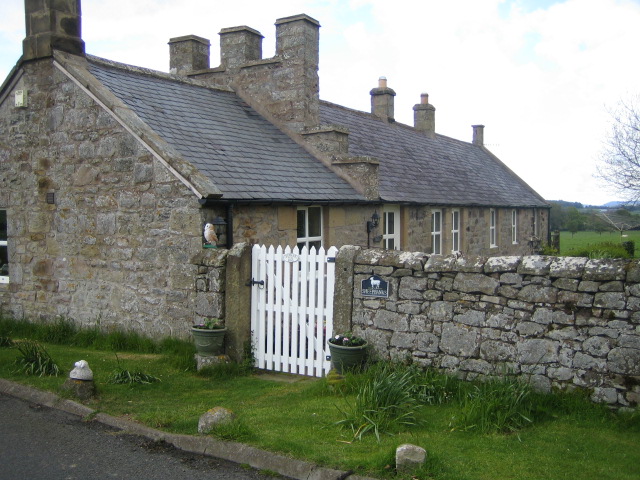
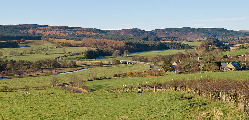
Sharperton is a hamlet in Northumberland situated by the River Coquet. It is located about 6 miles west of Rothbury, a mile and a half south-east of Harbottle, and half a mile north of Holystone. Sharperton was the site of a medieval village - documented as having 14 taxpayers in 1296, and described as having two short rows of dwellings in 1632.[1] There was also a 16th century bastle (fortified farmhouse) here[2]; "The Bastle House" (guest accommodation) in modern Shaperton is said to be built from the remains of this fortified dwelling dating back to 1568. Historically, Shaperton had been a township in the ancient parish of Allenton.[3] Then from 1866, Sharperton was a civil parish in its own right, until 1955, when it became part of the Civil Parish of Harbottle.
Co-Curate Page
Harbottle
- Overview About Harbottle Map Street View Harbottle is a village in Northumberland, located about 20 miles north-west of Morpeth, and situated by the River Coquet. To the west of the …
Co-Curate Page
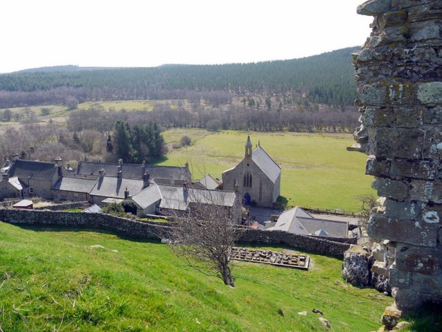
Holystone
- Overview About Holystone Map Street View Holystone is a village in Northumberland, located by the River Coquet, about 2 miles south-east of Harbottle. To the north of the village is …

from https://keystothepast.info/se…
Sharperton deserted medieval village
- "Sharperton deserted medieval village had 14 taxpayers in 1296. A document written in 1632 describes the village as having two short rows....."
Added by
Simon Cotterill
from https://keystothepast.info/se…
Sharperton Bastle
- "Some of the wall footings of Sharperton Bastle have been used as foundations for a later cottage extension. Ruins nearby are also part of this late 16th century defended house...."
Added by
Simon Cotterill
from http://www.gatehouse-gazettee…
SHARPERTON BASTLE, HARBOTTLE
- "Pele at Sharperton (Hadcock 1939).
Sharperton, in which is an old tower (Hodgson 1916).
NT 95800406 The only feature in the village of Sharperton that has any of the characteristics …
Added by
Simon Cotterill

Co-Curate Page
Harbottle
- Overview About Harbottle Map Street View Harbottle is a village in Northumberland, located about 20 miles north-west of Morpeth, and situated by the River Coquet. To the west of the …
Co-Curate Page
Holystone
- Overview About Holystone Map Street View Holystone is a village in Northumberland, located by the River Coquet, about 2 miles south-east of Harbottle. To the north of the village is …
from https://keystothepast.info/se…
Sharperton deserted medieval village
- "Sharperton deserted medieval village had 14 taxpayers in 1296. A document written in 1632 describes the village as having two short rows....."
Added by
Simon Cotterill
from https://keystothepast.info/se…
Sharperton Bastle
- "Some of the wall footings of Sharperton Bastle have been used as foundations for a later cottage extension. Ruins nearby are also part of this late 16th century defended house...."
Added by
Simon Cotterill
from http://www.gatehouse-gazettee…
SHARPERTON BASTLE, HARBOTTLE
- "Pele at Sharperton (Hadcock 1939).
Sharperton, in which is an old tower (Hodgson 1916).
NT 95800406 The only feature in the village of Sharperton that has any of the characteristics …
Added by
Simon Cotterill