Topics > Geography > Rivers > River Coquet > Grasslees Burn
Grasslees Burn
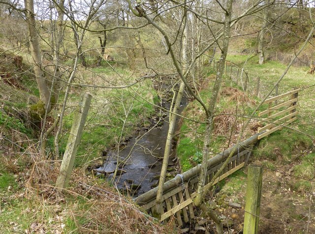
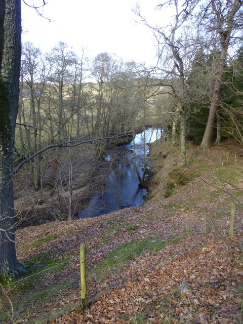
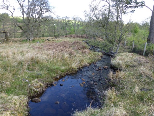
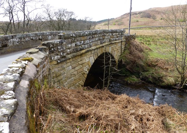
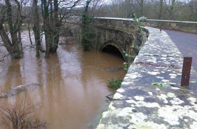
Grasslees Burn is a small river which is a tributary of the River Coquet in Northumberland. The burn is about 8.4 km long and has a catchment area of 29.9km2.[1] It joins the River Coquet near Harehaugh.


Co-Curate Page
Grasslees
- Overview Map Street View Grasslees is a farm in Northumberland, located on the B6341 Otterburn to Rothbury road, about 2½miles south-west of the village of Hepple and 3 miles north …


Co-Curate Page
Harehaugh
- Harehaugh is a farm in Northumberland, located just over 1km south-west of Hepple. It is situated by the south banks of the River Coquet and to the west of Grasslees …

Co-Curate Page
Grasslees
- Overview Map Street View Grasslees is a farm in Northumberland, located on the B6341 Otterburn to Rothbury road, about 2½miles south-west of the village of Hepple and 3 miles north …
Co-Curate Page
Harehaugh
- Harehaugh is a farm in Northumberland, located just over 1km south-west of Hepple. It is situated by the south banks of the River Coquet and to the west of Grasslees …

Grid ref:
NY9523697511


