Topics > Northumberland > Makendon
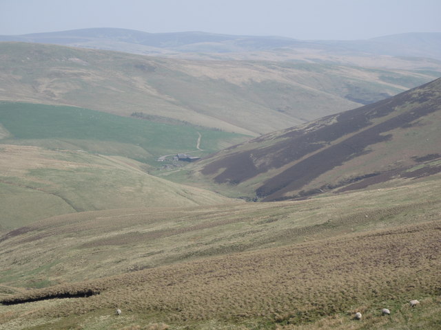
Makendon


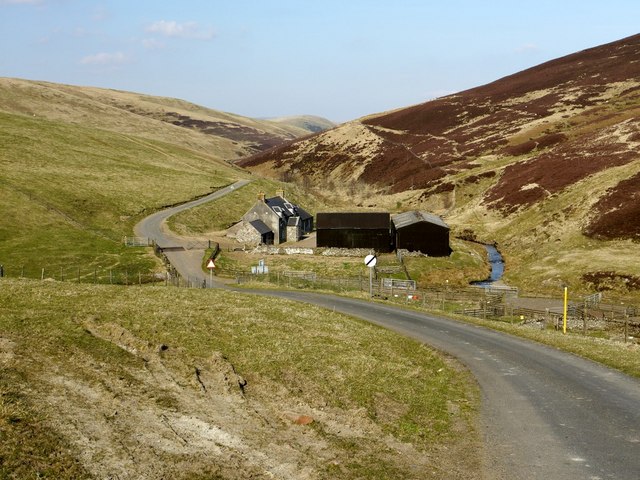
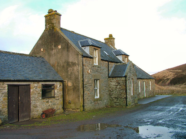
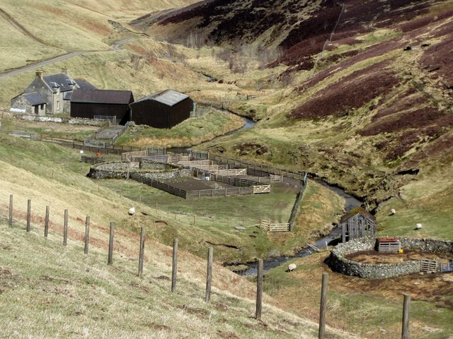
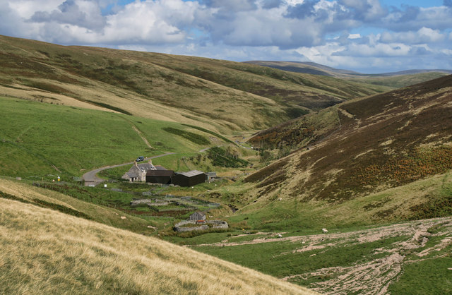
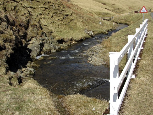
Makendon is a former farmstead in the Upper Coquetdale; the buildings are now used by the army, as part of the Otterburn Military Training Area. Makendon is located next to the River Croquet, about 11 miles north-west of Otterburn, near the boarder with Scotland.

Northumberland Alwinton Civil Parish Makendon Bridge
from Geograph (geograph)
Makendon, Upper Coquetdale

Pinned by Simon Cotterill
from Geograph (geograph)
Makendon

Pinned by Simon Cotterill
from Geograph (geograph)
Makendon

Pinned by Simon Cotterill
from Geograph (geograph)
Makendon. Upper Coquetdale

Pinned by Simon Cotterill
from Geograph (geograph)
Makendon

Pinned by Simon Cotterill
from Geograph (geograph)
View to Upper Coquetdale from Dere Street

Pinned by Simon Cotterill
from Flickr (flickr)
Makendon Farm

Pinned by Peter Smith

Comments

Add a comment or share a memory.

Login to add a comment. Sign-up if you don't already have an account.


ABOUT US

Co-Curate is a project which brings together online collections, museums, universities, schools and community groups to make and re-make stories and images from North East England and Cumbria. Co-Curate is a trans-disciplinary project that will open up 'official' museum and 'un-officia'l co-created community-based collections and archives through innovative collaborative approaches using social media and open archives/data.

LATEST SHARED RESOURCES