Topics > Northumberland > Blindburn
Blindburn
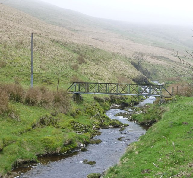
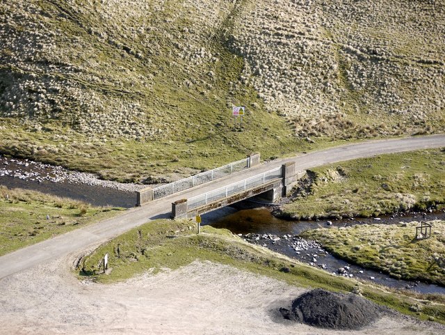
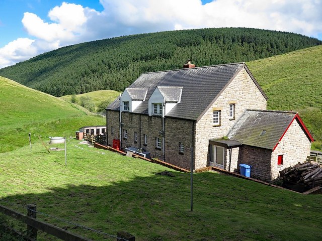
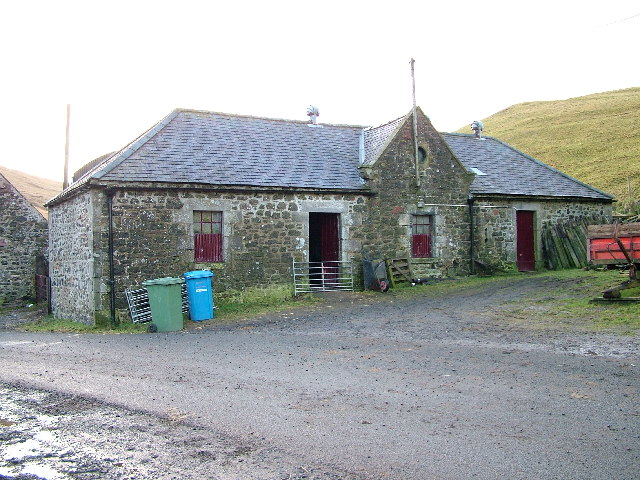
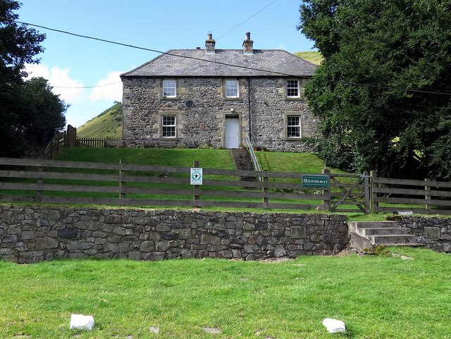
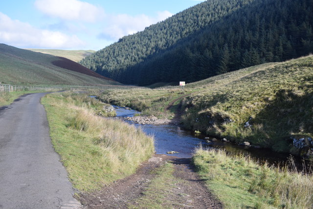
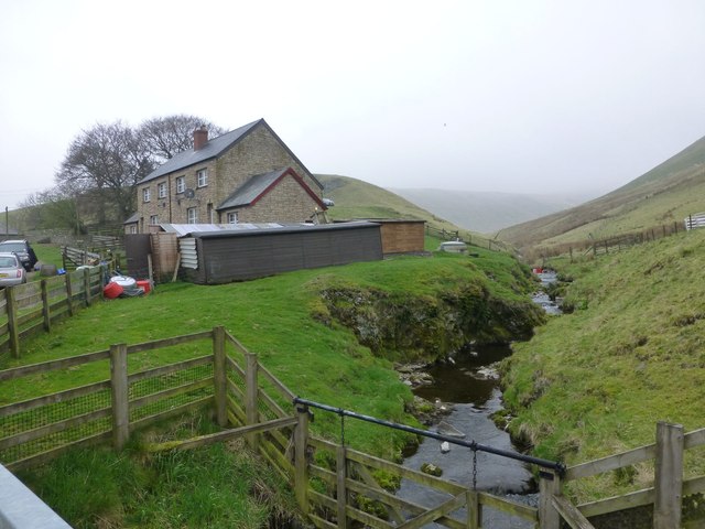
Blindburn is a hamlet / farmstead in Northumberland, located about 15 miles north-west of Rothbury and close to the border with Scotland. The settlement is named after the Blind Burn (stream) which joins the River Coquet here. There was an illegal whisky still at Blindburn, operating in the 18th and 19th centuries.[1]

from https://keystothepast.info/se…
Blindburn Whisky Still
- "This is the site of an illegal whisky still. In the 18th and 19th century whisky was secretly made in several isolated buildings high in the Cheviots. At this site …
Added by
Peter Smith

from https://keystothepast.info/se…
Blindburn Whisky Still
- "This is the site of an illegal whisky still. In the 18th and 19th century whisky was secretly made in several isolated buildings high in the Cheviots. At this site …
Added by
Peter Smith