Topics > Northumberland > Acklington
Acklington
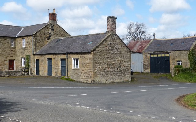
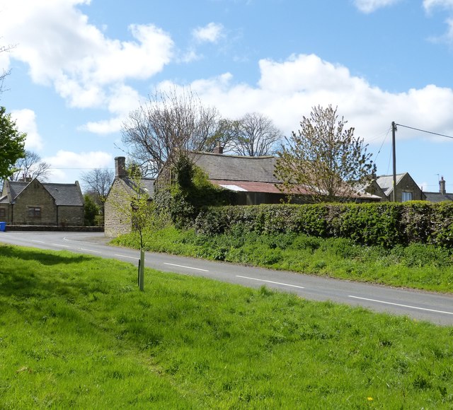
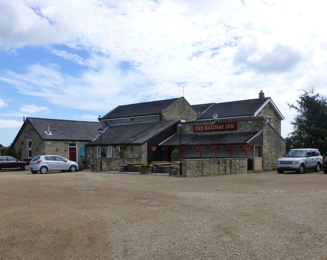
Acklington is a village in Northumberland, located about 10 miles north of Morpeth and 2½ miles south-west of Amble. Historically, Acklington was a township in the ancient Parish of Warkworth. Todaythe village and surrounding area form the Civil Parish of Acklington.
ACKLINGTON, a township, in the parish of Warkworth, union of Alnwick, E. division of Coquetdale ward, N. division of Northumberland, 10½ miles (S.S.E.) from Alnwick; containing 301 inhabitants. The manor formed a part of the barony of Warkworth, and at a very early period belonged to the Percys, earls of Northumberland, in whose family it still remains. The village, which is pretty large, is situated a little to the south of the river Coquet, and about midway between the sea and the road from Alnwick to Morpeth. The tithes have been commuted for £232. 18. payable to the Bishop of Carlisle, and £50. 9. to the vicar. Coal is obtained in the township.
Extract from: A Topographical Dictionary of England comprising the several counties, cities, boroughs, corporate and market towns, parishes, and townships..... 7th Edition, by Samuel Lewis, London, 1848.
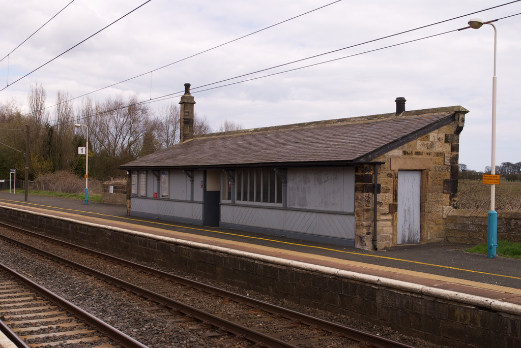
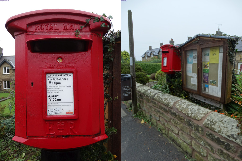
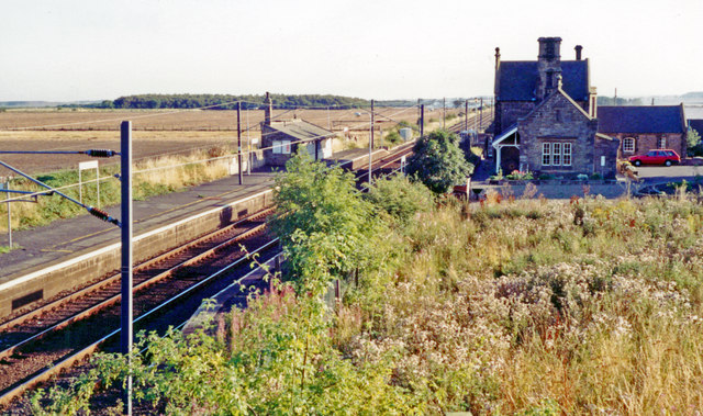
Acklington is a small village in Northumberland, England. It is situated to the south-west of Amble, inland from the North Sea coast. It is served by Acklington railway station. The name is Anglo-Saxon Old English 'farmstead of Eadlac's people'.
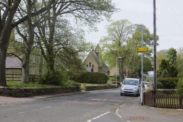
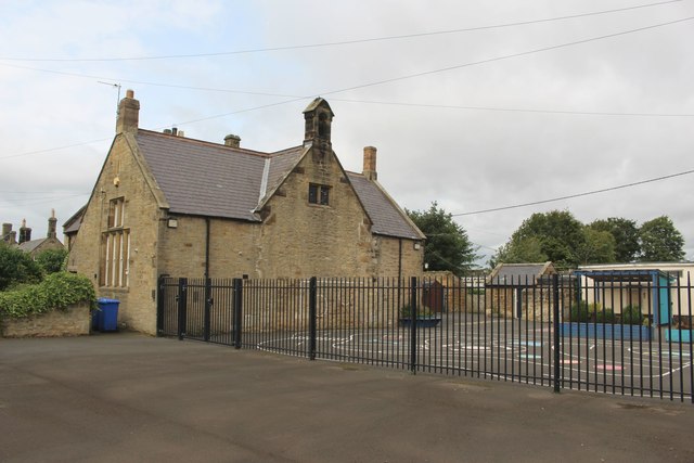
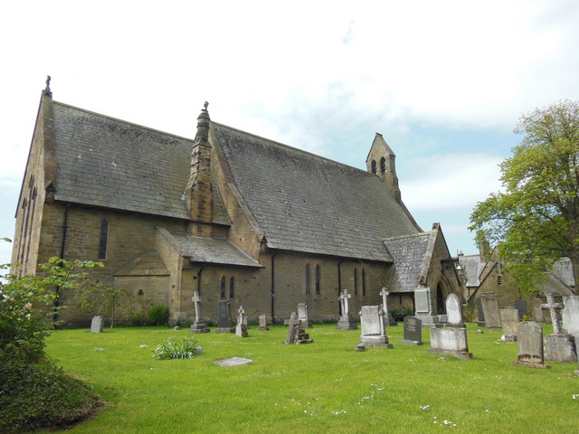
Acklington won the title of Northumberland Village of the Year in 2007. It has a parish church, St John the Divine, and a Church of England primary school.
To the north of Acklington is Morwick Hall a Grade II listed Georgian house. It was built by the Grey family of Howick; in the 1850s it was owned by William Linskill, a former High Sheriff of Northumberland.
A World War II FW3/22 pillbox is located near the B6345.
A dam was constructed on the River Coquet in 1776, causing problems for the river's salmon population. Many years later, the eccentric naturalist Frank Buckland erected a sign directing the salmon to another stream.
Economy
Acklington is the home of two prisons: HMP Acklington houses adults, while HMPYOI Castington houses young offenders. The prisons are built on the site of RAF Acklington, a former airfield which opened during World War II. The RAF station was used as an Armament Practice Camp with the aircraft operating over Druridge Bay.
Transport
Acklington is served by Acklington railway station which is located on the East Coast Main Line, although in the 2009–2010 timetable the only trains calling at Acklington were one (evening) northbound and two (morning and evening) southbound local services operated on Mondays to Saturdays by Northern Rail.
The line was opened by the York, Newcastle and Berwick Railway, then joining the North Eastern Railway, it became part of the London and North Eastern Railway during the Grouping of 1923. The line then passed on to the Eastern Region of British Railways on nationalisation in 1948.
Visit the page: Acklington for references and further details. You can contribute to this article on Wikipedia.


from http://www.keystothepast.info…
Local History: Acklington
- "The parish of Acklington has a variety of archaeological remains from prehistoric times through to 20th century structures from World War II, so there is something to interest everyone. The …
Added by
Simon Cotterill

from https://keystothepast.info/se…
World War II light anti-aircraft artillery site (Acklington)
- "In World War II (1939-45) a light anti-aircraft artillery site was built here to protect RAF Acklington...." Map shows the site, near former first school.
Added by
Peter Smith
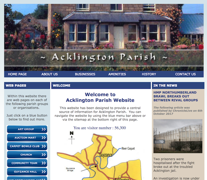
from http://acklingtonparish.org.u…
Acklington Parish
- "This website has been designed to provide a central
source of information for Acklington Parish...."
Added by
Simon Cotterill

from http://www.keystothepast.info…
Local History: Acklington
- "The parish of Acklington has a variety of archaeological remains from prehistoric times through to 20th century structures from World War II, so there is something to interest everyone. The …
Added by
Simon Cotterill
from https://keystothepast.info/se…
World War II light anti-aircraft artillery site (Acklington)
- "In World War II (1939-45) a light anti-aircraft artillery site was built here to protect RAF Acklington...." Map shows the site, near former first school.
Added by
Peter Smith
from http://acklingtonparish.org.u…
Acklington Parish
- "This website has been designed to provide a central
source of information for Acklington Parish...."
Added by
Simon Cotterill


Keys to the Past HER: N12975
County: Northumberland
Grid sq: NU2201
Grid sq: NU2301


