Topics > Northumberland > Civil Parishes in Northumberland > Hartburn Civil Parish > Hartburn Parish, 1848
Hartburn Parish, 1848
HARTBURN, a parish, in the unions of Castle ward, Morpeth, and Rothbury, chiefly in the W. division of Morpeth ward, but partly in the N.E. division of Tindale ward, N. and S. divisions of Northumberland; containing 1,322 inhabitants, of whom 30 are in the township of Hartburn, 7 miles (W.) from Morpeth. This parish comprises the townships of High and Low Angerton, Cambo, Corridge, Deanham, Favinley, Greenleighton, Hartburn, Hartburn-Grange, Hartington, Hartington-Hall, Harwood, Highlaws, Long Witton, North and South Middleton, Rothley, East and West Shaftoe, East and West Thornton, Todridge, Wallington, and Whitridge. It is of very irregular form, nearly 11 miles in length, and 6 in mean breadth, and comprises about 40,000 acres, of which 105 are in the township of Hartburn. The surface is agreeably diversified with hill and dale, and the soil is various; the lands are wholly inclosed, excepting Harwood township, and nearly all profitable for almost every description of husbandry. The lower grounds are watered by the rivers Hart and Wansbeck. Stone of different kinds is quarried; and there are some lead-mines and coal-pits in operation. The village of Hartburn consists of the church, the parsonage, called Hartburn Tower, the school-houses, glebe farmhouses, and two cottages; which stand on the rocky and steep banks of the burn from which the place derives its name. The living is a vicarage, valued in the king's books at £20. 0. 10., and in the patronage of the Bishop of Durham, with a gross income of about £800; John Clayton and Isaac Cookson, Esqrs., and others, are impropriators. The late Rev. John Hodgson, the learned author of six volumes of a highly valuable History of Northumberland, was vicar. The church, a venerable structure romantically situated, consists of a chancel, nave, and aisles, with a porch and tower; on the south side of the altar are a piscina, and three stalls with pointed arches. Cambo chapel was beautifully rebuilt in 1843.
Extract from: A Topographical Dictionary of England comprising the several counties, cities, boroughs, corporate and market towns, parishes, and townships..... 7th Edition, by Samuel Lewis, London, 1848.

Co-Curate Page
High Angerton Township
- ANGERTON, HIGH, a township, in the parish of Hartburn, union of Morpeth, W. division of Morpeth ward, N. division of Northumberland, 7 miles (W.) from Morpeth; containing 75 inhabitants. This …
Co-Curate Page
Deanham Township, 1848
- DEANHAM, a township, in the parish of Hartburn, union of Morpeth, N.E. division of Tindale ward, S. division of Northumberland, 12½ miles (W. by S.) from Morpeth; containing 43 inhabitants. …
Co-Curate Page
Low Angerton Township
- ANGERTON, LOW, a township, in the parish of Hartburn, union of Morpeth, W. division of Morpeth ward, N. division of Northumberland, 7½ miles (W. by S.) from Morpeth; containing 64 …
Co-Curate Page
Fairnley
- FAVINLEY, or Fairnley, a township, in the parish of Hartburn, union of Rothbury, N.E. division of Tindale ward, S. division of Northumberland, 13 miles (W. by N.) from Morpeth; containing …
Co-Curate Page
West Shafto
- SHAFTO, WEST, a township, in the parish of Hartburn, union of Castle ward, N.E. division of Tindale ward, S. division of Northumberland, 12½ miles (W. by S.) from Morpeth; containing …
Co-Curate Page
East Shafto
- SHAFTO, EAST, a township, in the parish of Hartburn, union of Castle ward, N. E. division of Tindale ward, S. division of Northumberland, 11¾ miles (W.S.W.) from Morpeth; containing 38 …
Co-Curate Page
Todridge Township, 1848
- TODRIDGE, a township, in the parish of Hartburn, union, and W. division of the ward, of Morpeth, N. division of Northumberland, 3 miles (W.S.W.) from Hartburn; containing 6 inhabitants. It …
Co-Curate Page
East Thornton Township
- THORNTON, EAST, a township, in the parish of Hartburn, union, and W. division of the ward, of Morpeth, N. division of Northumberland, 6 miles (W.) from Morpeth; containing 51 inhabitants. …
Co-Curate Page
Long Witton Township, 1848
- WITTON, LONG, a township, in the parish of Hartburn, union, and W. division of the ward, of Morpeth, N. division of Northumberland, 8 miles (N. by W.) from Morpeth; containing …
Co-Curate Page
West Thornton
- THORNTON, WEST, a township, in the parish of Hartburn, union, and W. division of the ward, of Morpeth, N. division of Northumberland, 7¼ miles (W. by N.) from Morpeth; containing …
Co-Curate Page
Wallington Demesne - Township, 1848
- WALLINGTON-DEMESNE, a township, in the parish of Hartburn, union of Morpeth, N.E. division of Tindale ward, S. division of Northumberland, 12½ miles (W. by S.) from Morpeth; containing 167 inhabitants. …
Co-Curate Page
Whitridge Township, Hartburn, 1848
- WHITRIDGE, a township, in the parish of Hartburn, union, and W. division of the ward, of Morpeth, N. division of Northumberland, 9½ miles (W. by N.) from Morpeth; containing 9 …
Co-Curate Page
Cambo
- Overview About Cambo Map Street View Cambo is a village in Northumberland located about 11 miles to the west of Morpeth. It is part of Wallington Estate, maintained by the …
Co-Curate Page
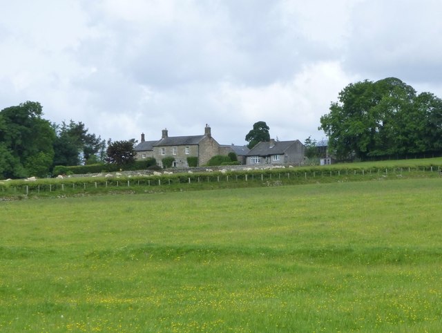
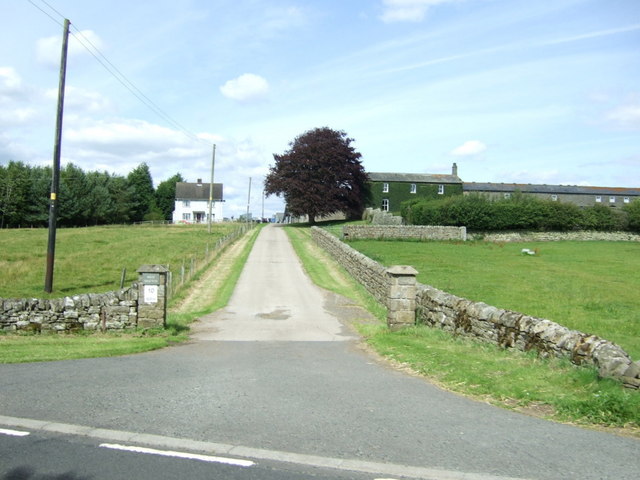
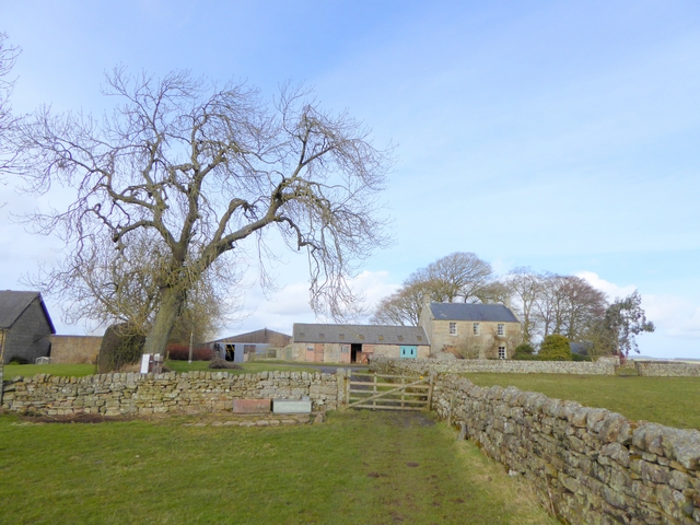
Hartburn Grange
- Overview Map Street View Hartburn Grange in Northumberland is a farm located about a mile and a half north-west of the village of Hartburn. It is located by Angerton Lake, …
Co-Curate Page
Hartington Hall Township, 1848
- HARTINGTON-HALL, a township, in the parish of Hartburn, union of Rothbury, N.E. division of Tindale ward, S. division of Northumberland; containing 36 inhabitants. This place, styled also West Hartington, comprises …
Co-Curate Page
Hartington Township, 1848
- HARTINGTON, a township, in the parish of Hartburn, union of Rothbury, N.E. division of Tindale ward, S. division of Northumberland, 12½ miles (W. by N.) from Morpeth; containing 72 inhabitants. …
Co-Curate Page
Harwood
- Overview Map Harwood is a hamlet in Northumberland located to the south of the Simonside Hills and about 12 miles north-west of Morpeth. The settlement is part of the Civil …
Co-Curate Page
Rothley Township, 1848
- ROTHLEY, a township, in the parish of Hartburn, union of Rothbury, W. division of Morpeth ward, N. division of Northumberland, 11 miles (W. by N.) from Morpeth; containing 143 inhabitants. …
Co-Curate Page
Greenleighton (Rothley)
- Overview Map Street View GREENLEIGHTON, a township, in the parish of Hartburn, union of Rothbury, N.E. division of Tindale ward, S. division of Northumberland, 7¾ miles (S.S.W.) from Rothbury; containing …
Co-Curate Page
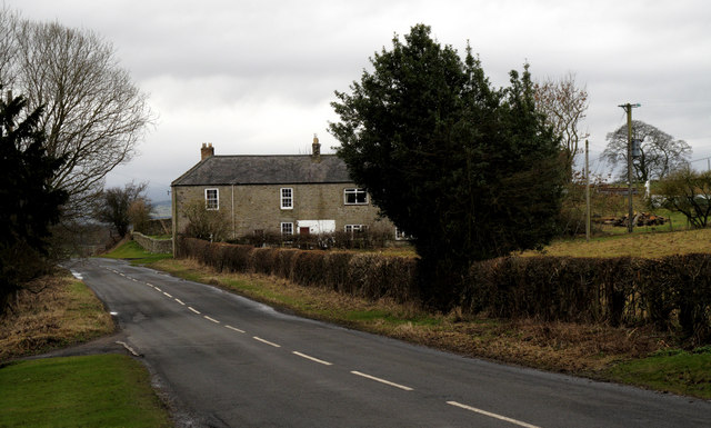
Middleton South (Hartburn)
- Overview Map Street View MIDDLETON, SOUTH, a township, in the parish of Hartburn, union of Morpeth, W. division of Morpeth ward, N. division of Northumberland, 10 miles (W. by S.) …
Co-Curate Page
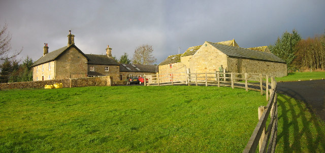
Highlaws, Northumberland
- Overview Map Highlaws is a hamlet/farm in Northumberland, located near the River Wansbeck and about 8 miles west of Morpeth. Highlaws Farmhouse is dated 1728 with the initials W.D.A. (William and …
Co-Curate Page
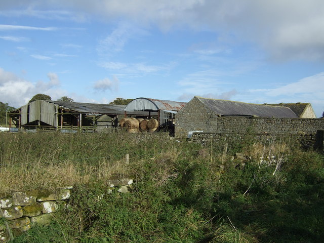
Corridge
- Overview Map Street View CORRIDGE, a township, in the parish of Hartburn, union of Morpeth, W. division of Morpeth ward, N. division of Northumberland, 11 miles (W. by S.) from …

Co-Curate Page
High Angerton Township
- ANGERTON, HIGH, a township, in the parish of Hartburn, union of Morpeth, W. division of Morpeth ward, N. division of Northumberland, 7 miles (W.) from Morpeth; containing 75 inhabitants. This …
Co-Curate Page
Deanham Township, 1848
- DEANHAM, a township, in the parish of Hartburn, union of Morpeth, N.E. division of Tindale ward, S. division of Northumberland, 12½ miles (W. by S.) from Morpeth; containing 43 inhabitants. …
Co-Curate Page
Low Angerton Township
- ANGERTON, LOW, a township, in the parish of Hartburn, union of Morpeth, W. division of Morpeth ward, N. division of Northumberland, 7½ miles (W. by S.) from Morpeth; containing 64 …
Co-Curate Page
Fairnley
- FAVINLEY, or Fairnley, a township, in the parish of Hartburn, union of Rothbury, N.E. division of Tindale ward, S. division of Northumberland, 13 miles (W. by N.) from Morpeth; containing …
Co-Curate Page
West Shafto
- SHAFTO, WEST, a township, in the parish of Hartburn, union of Castle ward, N.E. division of Tindale ward, S. division of Northumberland, 12½ miles (W. by S.) from Morpeth; containing …
Co-Curate Page
East Shafto
- SHAFTO, EAST, a township, in the parish of Hartburn, union of Castle ward, N. E. division of Tindale ward, S. division of Northumberland, 11¾ miles (W.S.W.) from Morpeth; containing 38 …
Co-Curate Page
Todridge Township, 1848
- TODRIDGE, a township, in the parish of Hartburn, union, and W. division of the ward, of Morpeth, N. division of Northumberland, 3 miles (W.S.W.) from Hartburn; containing 6 inhabitants. It …
Co-Curate Page
East Thornton Township
- THORNTON, EAST, a township, in the parish of Hartburn, union, and W. division of the ward, of Morpeth, N. division of Northumberland, 6 miles (W.) from Morpeth; containing 51 inhabitants. …
Co-Curate Page
Long Witton Township, 1848
- WITTON, LONG, a township, in the parish of Hartburn, union, and W. division of the ward, of Morpeth, N. division of Northumberland, 8 miles (N. by W.) from Morpeth; containing …
Co-Curate Page
West Thornton
- THORNTON, WEST, a township, in the parish of Hartburn, union, and W. division of the ward, of Morpeth, N. division of Northumberland, 7¼ miles (W. by N.) from Morpeth; containing …
Co-Curate Page
Wallington Demesne - Township, 1848
- WALLINGTON-DEMESNE, a township, in the parish of Hartburn, union of Morpeth, N.E. division of Tindale ward, S. division of Northumberland, 12½ miles (W. by S.) from Morpeth; containing 167 inhabitants. …
Co-Curate Page
Whitridge Township, Hartburn, 1848
- WHITRIDGE, a township, in the parish of Hartburn, union, and W. division of the ward, of Morpeth, N. division of Northumberland, 9½ miles (W. by N.) from Morpeth; containing 9 …
Co-Curate Page
Cambo
- Overview About Cambo Map Street View Cambo is a village in Northumberland located about 11 miles to the west of Morpeth. It is part of Wallington Estate, maintained by the …
Co-Curate Page
Hartburn Grange
- Overview Map Street View Hartburn Grange in Northumberland is a farm located about a mile and a half north-west of the village of Hartburn. It is located by Angerton Lake, …
Co-Curate Page
Hartington Hall Township, 1848
- HARTINGTON-HALL, a township, in the parish of Hartburn, union of Rothbury, N.E. division of Tindale ward, S. division of Northumberland; containing 36 inhabitants. This place, styled also West Hartington, comprises …
Co-Curate Page
Hartington Township, 1848
- HARTINGTON, a township, in the parish of Hartburn, union of Rothbury, N.E. division of Tindale ward, S. division of Northumberland, 12½ miles (W. by N.) from Morpeth; containing 72 inhabitants. …
Co-Curate Page
Harwood
- Overview Map Harwood is a hamlet in Northumberland located to the south of the Simonside Hills and about 12 miles north-west of Morpeth. The settlement is part of the Civil …
Co-Curate Page
Rothley Township, 1848
- ROTHLEY, a township, in the parish of Hartburn, union of Rothbury, W. division of Morpeth ward, N. division of Northumberland, 11 miles (W. by N.) from Morpeth; containing 143 inhabitants. …
Co-Curate Page
Greenleighton (Rothley)
- Overview Map Street View GREENLEIGHTON, a township, in the parish of Hartburn, union of Rothbury, N.E. division of Tindale ward, S. division of Northumberland, 7¾ miles (S.S.W.) from Rothbury; containing …
Co-Curate Page
Middleton South (Hartburn)
- Overview Map Street View MIDDLETON, SOUTH, a township, in the parish of Hartburn, union of Morpeth, W. division of Morpeth ward, N. division of Northumberland, 10 miles (W. by S.) …
Co-Curate Page
Highlaws, Northumberland
- Overview Map Highlaws is a hamlet/farm in Northumberland, located near the River Wansbeck and about 8 miles west of Morpeth. Highlaws Farmhouse is dated 1728 with the initials W.D.A. (William and …


