Topics > Northumberland > Hartington > Hartington Township, 1848
Hartington Township, 1848
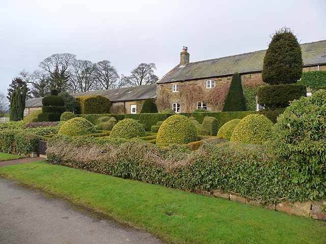
HARTINGTON, a township, in the parish of Hartburn, union of Rothbury, N.E. division of Tindale ward, S. division of Northumberland, 12½ miles (W. by N.) from Morpeth; containing 72 inhabitants. The village was anciently called East Hertwayton, probably meaning "the town at the way over the Hart," and was formerly more extensive than it is at present. It is situated on a dry limestone slope, fronting the south, and on the east side of the Elsdon road; the township comprises 2083 acres, and is the property of Sir John Trevelyan, Bart., of Wallington. The Fenwicks at an early period obtained possession of the lands at this place, as well as of the adjoining township of Hartington-Hall, and continued to hold them, as part of the Wallington property, until the latter end of the 17th century. There are some remains of the chapel which once stood upon the Kirk hill; on a part of its site some farm-offices are now erected.
Extract from: A Topographical Dictionary of England comprising the several counties, cities, boroughs, corporate and market towns, parishes, and townships..... 7th Edition, by Samuel Lewis, London, 1848.