Topics > Historical Periods > 19th Century > 1870s > 1876
1876
In Northern England:
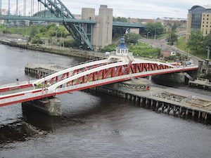
- 15th June 1876; the Swing Bridge over the River Tyne opened for road traffic.
- 29th August 1876: consecration of the Church of St Helen, Low Fell (now Grade 2* Listed)
- 1876: opening of South Shields Museum
- 1876: Brigham & Cowan shipyard established in South Shields
- 1876: founding of Middlesbrough Football Club
- 1876: opening of Appleby Station on the Carlisle-Settle railway.
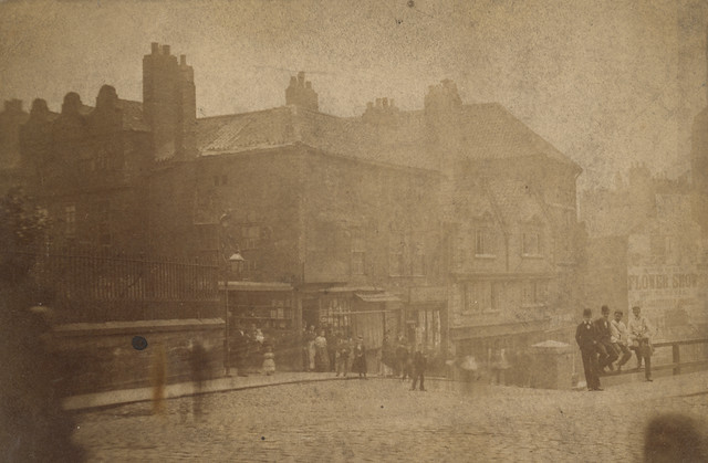
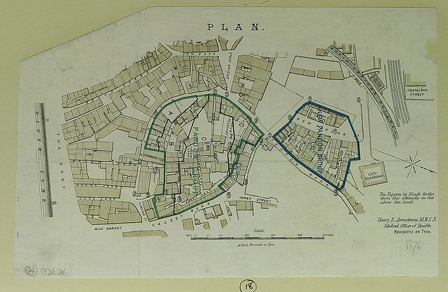
from Newcastle libraries (flickr)
052628:The Side Newcastle upon Tyne Unknown 1876
Pinned by Simon Cotterill

from Newcastle libraries (flickr)
003371:Redheugh Bridge Newcastle upon Tyne Holmes J. H. 1876
Pinned by Simon Cotterill
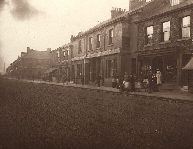
from Newcastle libraries (flickr)
003643:Nursery Cottage British Workman Scotswood Road Holmes John H. about 1876
Pinned by Simon Cotterill
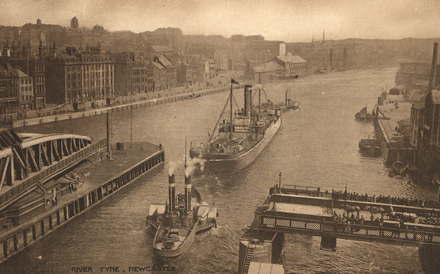
from Newcastle libraries (flickr)
715655:Swing Bridge Newcastle upon Tyne Unknown Undated
Pinned by Simon Cotterill
Co-Curate Page
Newcastle Swing Bridge
- Overview Further Information Map Street View The Swing Bridge over the River Tyne was first used for road traffic on 15th June 1876 and opened for river traffic on 17th …
from http://picturesofgateshead.co…
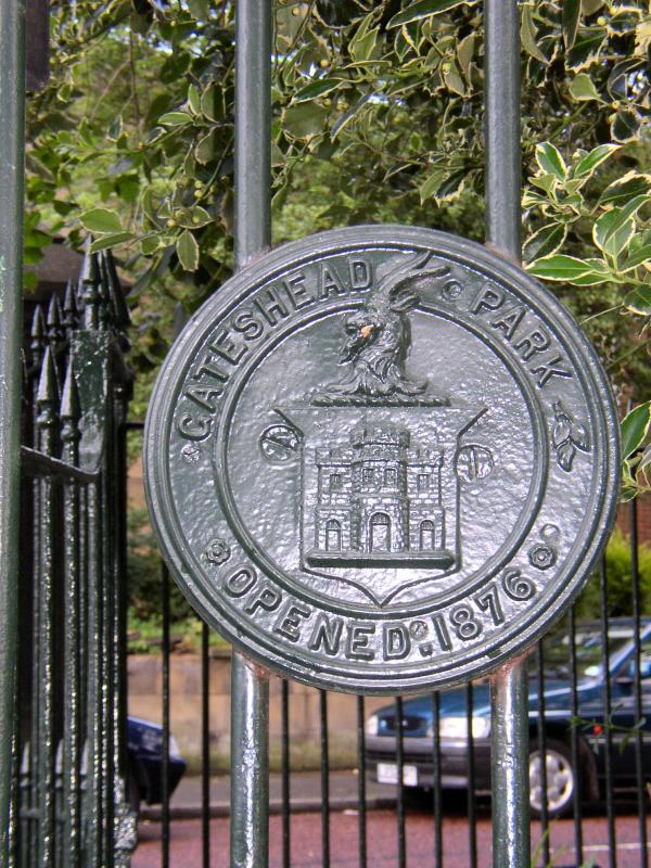
Saltwell Park
- From 'Pictures of Gateshead and the Surrounding Area' by Andy Williamson. The images may be used for non-commercial purposes, subject to acknowledging the source; see: http://picturesofgateshead.co.uk
Added by
Simon Cotterill
Co-Curate Page
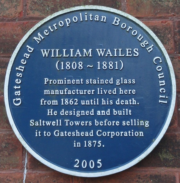
William Wailes (1808 - 1876)
- Overview About William Wailes William Wailes was a renowned stained glass manufacturer. He built his home, Saltwell Towers in Gateshead in 1862. William Wailes, (1808–1881), was the proprietor of one of …
Co-Curate Page
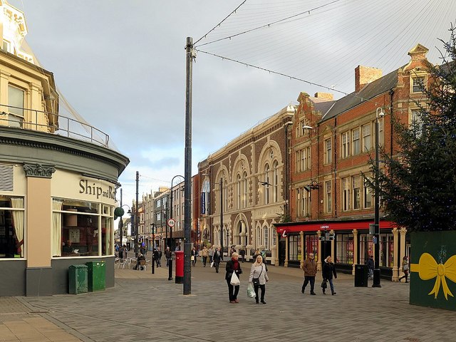
South Shields Museum & Art Gallery
- About the Museum Map Street View "The museum is spread over two floors telling the story of the borough's social, industrial and maritime history from 4,000 years ago to the …
Co-Curate Page
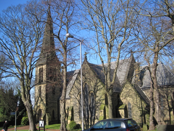
Church of St Helen, Low Fell
- Overview Map Street View "The Parish of Saint Helen owes its existence to the large population explosion experienced by industrial centres of the nineteenth century. Until then Low Fell had …
Co-Curate Page
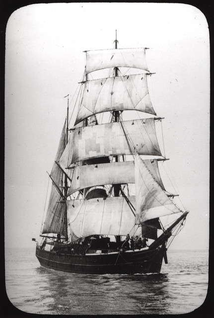
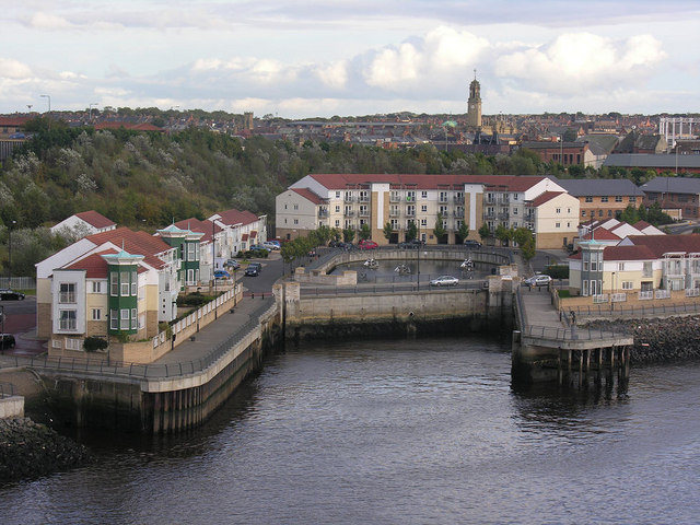
Brigham & Cowan, shipyard (1876-1982)
- Brigham & Cowan was established in 1876 by Thomas Brigham and Malcolm Cowan. The company's ship repair business had 3 drydocks at South Shields. Brigham & Cowan Ltd became part …
Co-Curate Page
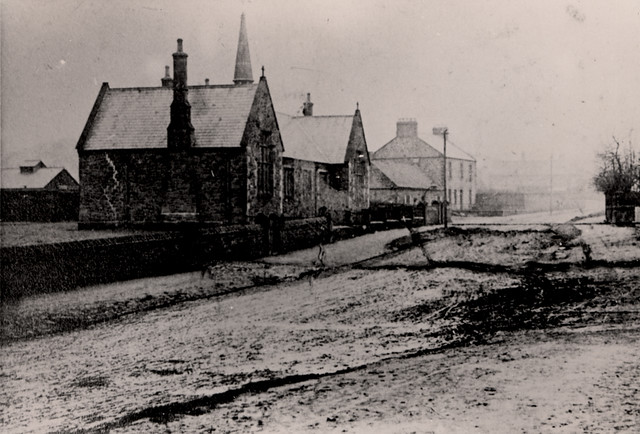
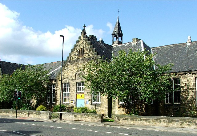
Buddle Arts Centre
- Overview Map Street View Buddle Arts Centre is located on Station Road in Wallsend. The building was originally Buddle School or Wallsend Board Schools (for juniors and infants), completed in 1876 and …
Co-Curate Page
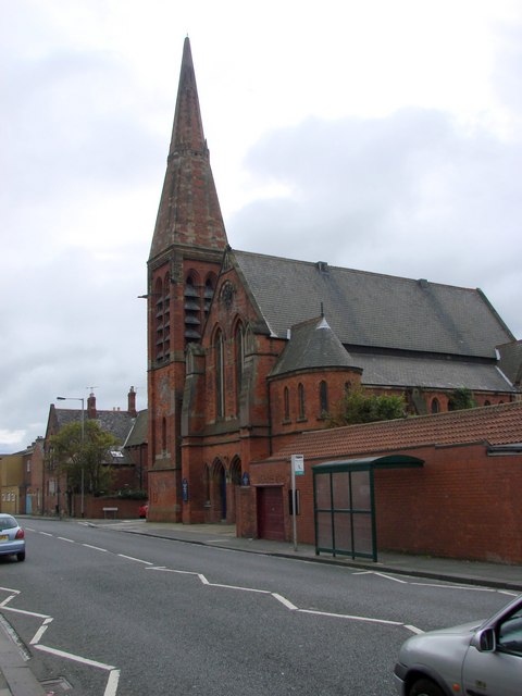
Headway ArtsSpace, former URC Church
- Overview Map Street View Headway ArtSpace is located in The Old Church on Waterloo Road in Blyth. The brick-built Gothic revival-style church was built 1874-1876, by Thomas Oliver junior. It was …
Co-Curate Page
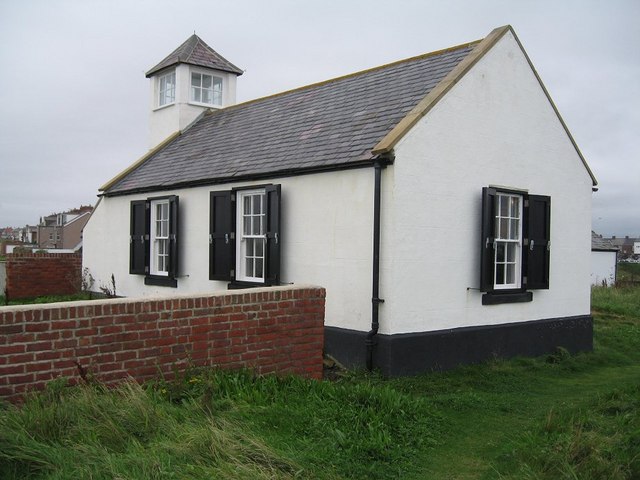
Watch House Museum
- Overview Map Street View The Watch House on Rocky Island in Seaton Sluice was opened on 14th January 1880, built for the Seaton Sluice Volunteer Life-Saving Company which was founded …

Co-Curate Page
Middlesbrough FC
- Overview History Middlesbrough Football Club was formed in 1876. In 1903, the club moved to Ayresome Park, their home for the next 92 years until they moved to the Riverside …
Co-Curate Page
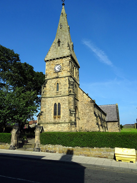
Church of St John the Baptist
- Overview About St John's Map Street View The Church of St John the Baptist on Northumberland Street in Alnmouth was consecrated on 6th November 1876. Shortly after this Alnmouth became …
Co-Curate Page
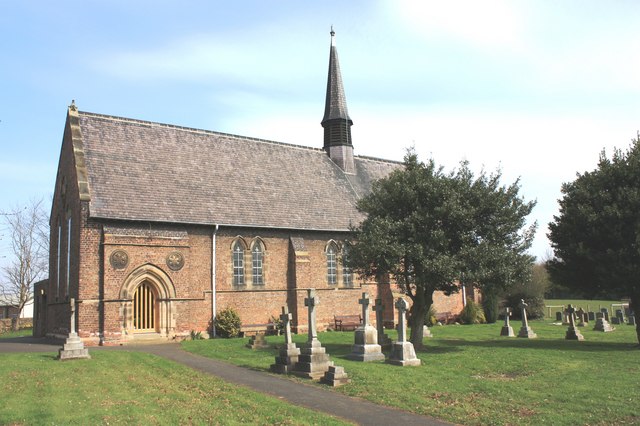
Church of St Peter, Wolviston
- Overview Map Street View St Peter's Church in Wolviston was built in 1876 by Austin, Johnson and Hicks. It was designed in the early English style, built with red brick …
Co-Curate Page
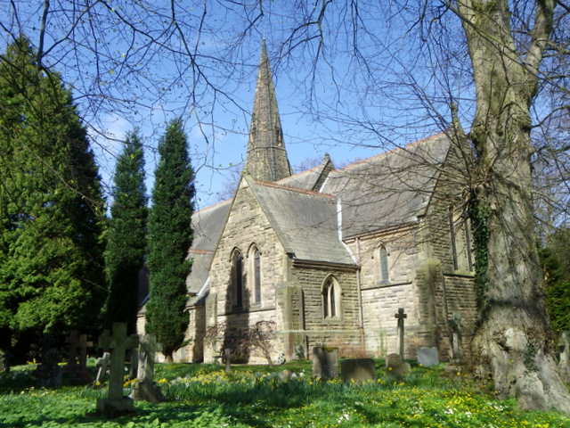
Church of St John the Evangelist, Longhirst
- Overview Map Street View The Church of St John the Evangelist in Longhirst was designed by Sir Arthur Blomfield and built in 1876. It was commissioned and paid for by …
Co-Curate Page
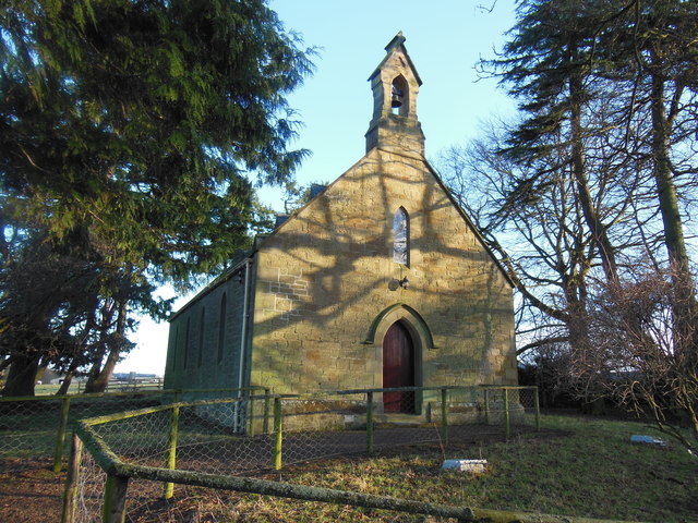
Denwick Chapel
- The church in Denwick was built as a chapel of ease for St Michael's Church in Alnwick. The foundation stone of the chapel was laid by Mrs Lisle of Alnwick on 10th …
Co-Curate Page
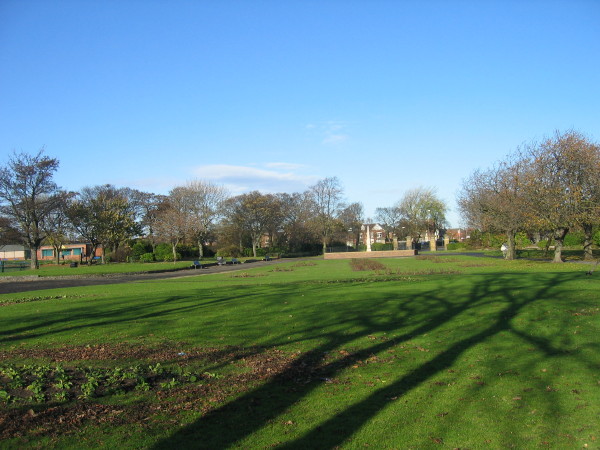
West Park
- West Park was donated to the people of Jarrow by Sir Walter and Lady Northbourne James in 1876.[1] Sir Walter James, first Lord Northbourne (1816-1893) was a Liberal MP for …
Co-Curate Page
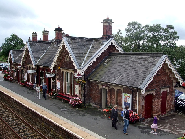
Appleby Station
- Overview About Appleby Station Map Street View Appleby Railway Station was opened in May 1876 (then called Appleby West) by the Midland Railway as part of the Settle-Carlisle line. The …
Co-Curate Page
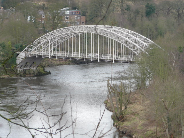
Hagg Bank Bridge
- Overview About West Wylam Bridge Map Street View West Wylam Bridge (also known as Hagg Bank Bridge and Points Bridge) is a footbridge over the River Tyne to the south-west …
Co-Curate Page
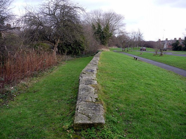
North Wylam Railway Station
- North Wylam Railway Station opened on the 13th of May 1876 as part of the Scotswood, Newburn & Wylam Railway, operated by the North Eastern Railway. It was located in Wylam, …

Co-Curate Page
Millom Infant School
- Overview Map Street View Millom Infant School is located on Lapstone Road in Millom. The school has about 100 pupils from ages 4 to 7. Millom Infant School opened in 1970. The …
Co-Curate Page
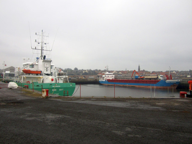
Tweed Dock
- Construction of the Tweed Dock commenced in 1873. It was officially opened in October 1876. A railway line from Tweed Dock to Tweedmouth Station was opened on the 16th of October …
Co-Curate Page
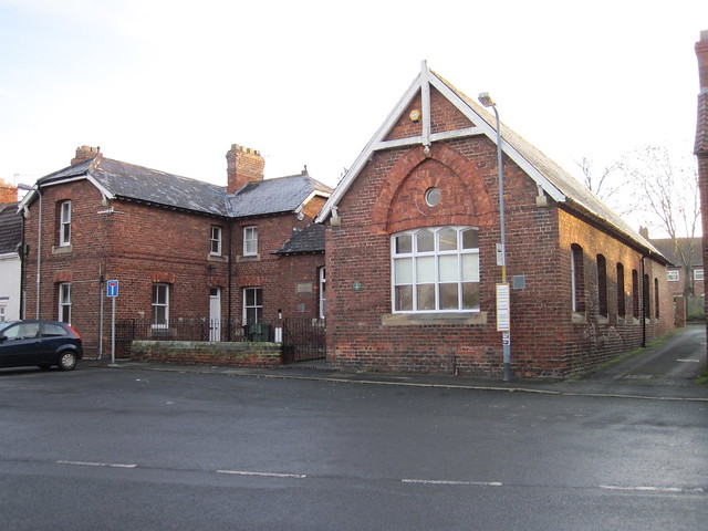
Old Stainton School
- Overview Map Street View Stainton Board Schools (separate boys and girls schools within the building) was constructed in 1876 by the Stainton, Thornton and Maltby School Board. It replaced the …
Co-Curate Page
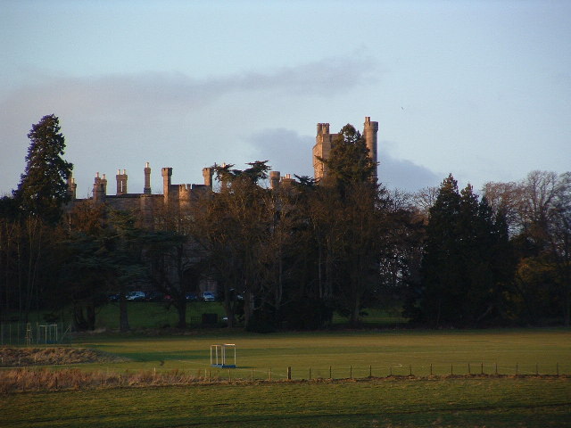
Longridge Towers School
- Overview About Longridge Towers School Map Longridge Towers, located about 3 miles south-west of Berwick-upon-Tweed, was built in 1876 as a country house mansion for Sir Hubert Jerningham. Over time …
Co-Curate Page
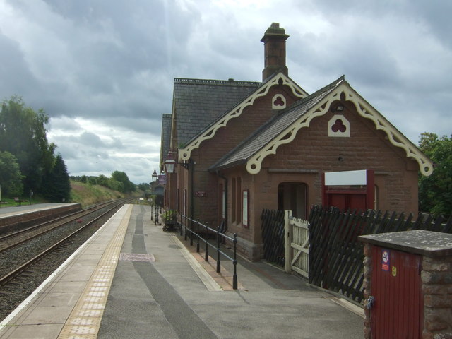
Langwathby Railway Station
- Overview About Langwathby Station Map Street View The railway station in Langwathby was built by the Midland Railway and was opened in 1876. The station on the Settle and Carlisle …
Co-Curate Page
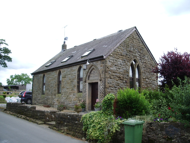
Old Chapel
- The former congregational chapel in Tallentire was built in 1876.[1] After closing it was converted into a dwelling house.

Co-Curate Page
Hutton Henry Colliery (1876 - 1897)
- Hutton Henry Colliery, located north-west of Hutton Henry, began producing coal on the 7th of April 1876. The colliery included Marley Pit and Perseverance Pit. It was owned by Hutton …
Co-Curate Page
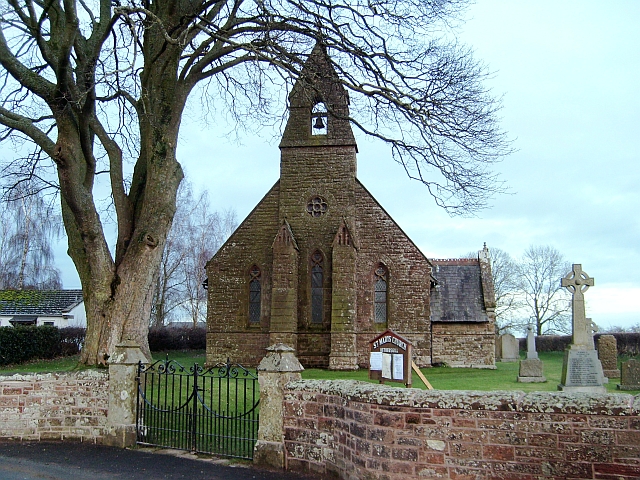
Church of St Mary, Hethersgill
- Overview Map Street View St Mary's Church in Hethersgill was built in 1876. It was originally built as a chapel of ease to St Cuthbert's Church in Kirklington. The church …
Co-Curate Page
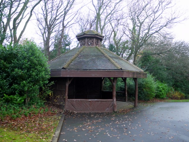
Saltwell Park
- Overview About Saltwell Park Map Street View Saltwell Park is located in the Saltwell area of Gateshead, to the north of Low Fell and about a mile south of the …
Co-Curate Page
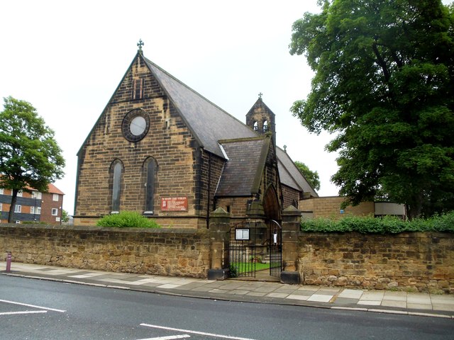
Church of St Mary The Virgin, Willington
- Overview Map Street View The Church of St Mary the Virgin is located on Churchill Street in Willington was built in 1876 by Austin and Johnson. The parish church is …
Co-Curate Page
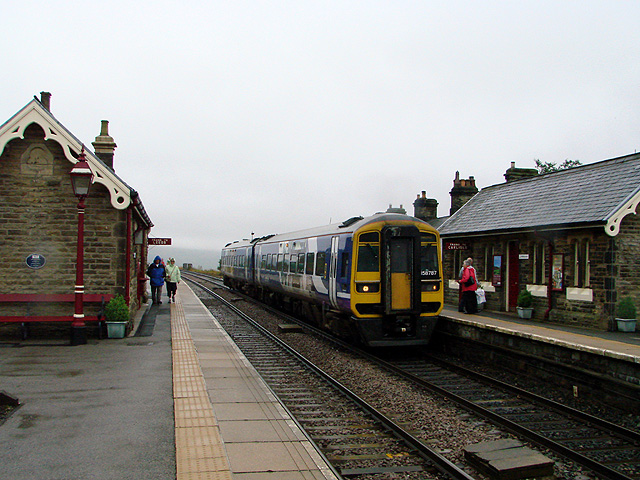
Garsdale Railway Station
- Overview Map Street View Garsdale is a railway station on the Settle and Carlisle Line, located on Coal Road, near Garsdale Head, in Cumbria. Originally named Hawes Junction, the station …
Co-Curate Page
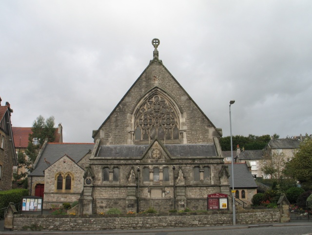
Grange Methodist Church
- Overview Map Street View Grange Methodist Church is located on Kents Bank Road in Grange-over-Sands. It was originally built as a Wesleyan Methodist chapel, in a Gothic-style, by Ernest Bates. …

Co-Curate Page
Nos. 12 and 13 Market Place, NatWest Bank
- Overview Map Street View Nos. 12 and 13, Market Place in Durham was built in 1876, by Gibson, for the National Provincial Bank of England. In 1970, National Provincial Bank …

Co-Curate Page
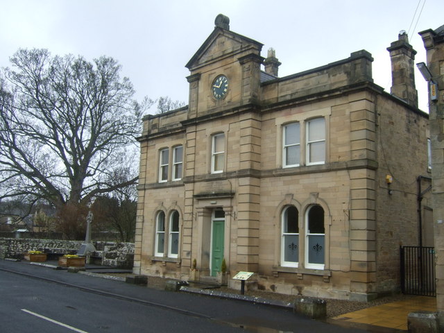
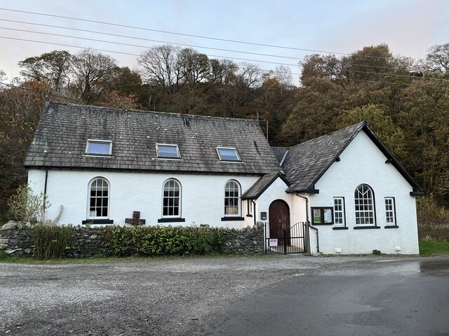
Newbrough Town Hall
- Overview Map Street View Newbrough Town Hall is a civic hall, located on Stanegate in Newbrough. The building dates from 1876 and was presented to the people of Newbrough by …
Co-Curate Page
Orthodox Church (Old Methodist Chapel), Braithwaite
- There is an Orthodox Church in Braithwaite. This is the Parish of St Bega, St Mungo, & St Herbert of the Archdiocese of Thyateira and Great Britain (Greek Orthodox). The …

Co-Curate Page
Old School, Muncaster
- Overview Map Street View The Old School is located by the A595 road at Muncaster. The school was built in 1876, replacing an earlier school room of 1706, and earlier …


from Newcastle libraries (flickr)
052628:The Side Newcastle upon Tyne Unknown 1876
Pinned by Simon Cotterill

from Newcastle libraries (flickr)
003371:Redheugh Bridge Newcastle upon Tyne Holmes J. H. 1876
Pinned by Simon Cotterill

from Newcastle libraries (flickr)
003643:Nursery Cottage British Workman Scotswood Road Holmes John H. about 1876
Pinned by Simon Cotterill

from Newcastle libraries (flickr)
715655:Swing Bridge Newcastle upon Tyne Unknown Undated
Pinned by Simon Cotterill

Co-Curate Page
Newcastle Swing Bridge
- Overview Further Information Map Street View The Swing Bridge over the River Tyne was first used for road traffic on 15th June 1876 and opened for river traffic on 17th …

from http://picturesofgateshead.co…
Saltwell Park
- From 'Pictures of Gateshead and the Surrounding Area' by Andy Williamson. The images may be used for non-commercial purposes, subject to acknowledging the source; see: http://picturesofgateshead.co.uk
Added by
Simon Cotterill

Co-Curate Page
William Wailes (1808 - 1876)
- Overview About William Wailes William Wailes was a renowned stained glass manufacturer. He built his home, Saltwell Towers in Gateshead in 1862. William Wailes, (1808–1881), was the proprietor of one of …

Co-Curate Page
South Shields Museum & Art Gallery
- About the Museum Map Street View "The museum is spread over two floors telling the story of the borough's social, industrial and maritime history from 4,000 years ago to the …

Co-Curate Page
Church of St Helen, Low Fell
- Overview Map Street View "The Parish of Saint Helen owes its existence to the large population explosion experienced by industrial centres of the nineteenth century. Until then Low Fell had …

Co-Curate Page
Brigham & Cowan, shipyard (1876-1982)
- Brigham & Cowan was established in 1876 by Thomas Brigham and Malcolm Cowan. The company's ship repair business had 3 drydocks at South Shields. Brigham & Cowan Ltd became part …

Co-Curate Page
Buddle Arts Centre
- Overview Map Street View Buddle Arts Centre is located on Station Road in Wallsend. The building was originally Buddle School or Wallsend Board Schools (for juniors and infants), completed in 1876 and …

Co-Curate Page
Headway ArtsSpace, former URC Church
- Overview Map Street View Headway ArtSpace is located in The Old Church on Waterloo Road in Blyth. The brick-built Gothic revival-style church was built 1874-1876, by Thomas Oliver junior. It was …

Co-Curate Page
Watch House Museum
- Overview Map Street View The Watch House on Rocky Island in Seaton Sluice was opened on 14th January 1880, built for the Seaton Sluice Volunteer Life-Saving Company which was founded …

Co-Curate Page
Middlesbrough FC
- Overview History Middlesbrough Football Club was formed in 1876. In 1903, the club moved to Ayresome Park, their home for the next 92 years until they moved to the Riverside …

Co-Curate Page
Church of St John the Baptist
- Overview About St John's Map Street View The Church of St John the Baptist on Northumberland Street in Alnmouth was consecrated on 6th November 1876. Shortly after this Alnmouth became …

Co-Curate Page
Church of St Peter, Wolviston
- Overview Map Street View St Peter's Church in Wolviston was built in 1876 by Austin, Johnson and Hicks. It was designed in the early English style, built with red brick …

Co-Curate Page
Church of St John the Evangelist, Longhirst
- Overview Map Street View The Church of St John the Evangelist in Longhirst was designed by Sir Arthur Blomfield and built in 1876. It was commissioned and paid for by …

Co-Curate Page
Denwick Chapel
- The church in Denwick was built as a chapel of ease for St Michael's Church in Alnwick. The foundation stone of the chapel was laid by Mrs Lisle of Alnwick on 10th …

Co-Curate Page
West Park
- West Park was donated to the people of Jarrow by Sir Walter and Lady Northbourne James in 1876.[1] Sir Walter James, first Lord Northbourne (1816-1893) was a Liberal MP for …

Co-Curate Page
Appleby Station
- Overview About Appleby Station Map Street View Appleby Railway Station was opened in May 1876 (then called Appleby West) by the Midland Railway as part of the Settle-Carlisle line. The …

Co-Curate Page
Hagg Bank Bridge
- Overview About West Wylam Bridge Map Street View West Wylam Bridge (also known as Hagg Bank Bridge and Points Bridge) is a footbridge over the River Tyne to the south-west …

Co-Curate Page
North Wylam Railway Station
- North Wylam Railway Station opened on the 13th of May 1876 as part of the Scotswood, Newburn & Wylam Railway, operated by the North Eastern Railway. It was located in Wylam, …

Co-Curate Page
Millom Infant School
- Overview Map Street View Millom Infant School is located on Lapstone Road in Millom. The school has about 100 pupils from ages 4 to 7. Millom Infant School opened in 1970. The …

Co-Curate Page
Tweed Dock
- Construction of the Tweed Dock commenced in 1873. It was officially opened in October 1876. A railway line from Tweed Dock to Tweedmouth Station was opened on the 16th of October …

Co-Curate Page
Old Stainton School
- Overview Map Street View Stainton Board Schools (separate boys and girls schools within the building) was constructed in 1876 by the Stainton, Thornton and Maltby School Board. It replaced the …

Co-Curate Page
Longridge Towers School
- Overview About Longridge Towers School Map Longridge Towers, located about 3 miles south-west of Berwick-upon-Tweed, was built in 1876 as a country house mansion for Sir Hubert Jerningham. Over time …

Co-Curate Page
Langwathby Railway Station
- Overview About Langwathby Station Map Street View The railway station in Langwathby was built by the Midland Railway and was opened in 1876. The station on the Settle and Carlisle …

Co-Curate Page
Old Chapel
- The former congregational chapel in Tallentire was built in 1876.[1] After closing it was converted into a dwelling house.

Co-Curate Page
Hutton Henry Colliery (1876 - 1897)
- Hutton Henry Colliery, located north-west of Hutton Henry, began producing coal on the 7th of April 1876. The colliery included Marley Pit and Perseverance Pit. It was owned by Hutton …

Co-Curate Page
Church of St Mary, Hethersgill
- Overview Map Street View St Mary's Church in Hethersgill was built in 1876. It was originally built as a chapel of ease to St Cuthbert's Church in Kirklington. The church …

Co-Curate Page
Saltwell Park
- Overview About Saltwell Park Map Street View Saltwell Park is located in the Saltwell area of Gateshead, to the north of Low Fell and about a mile south of the …

Co-Curate Page
Church of St Mary The Virgin, Willington
- Overview Map Street View The Church of St Mary the Virgin is located on Churchill Street in Willington was built in 1876 by Austin and Johnson. The parish church is …

Co-Curate Page
Garsdale Railway Station
- Overview Map Street View Garsdale is a railway station on the Settle and Carlisle Line, located on Coal Road, near Garsdale Head, in Cumbria. Originally named Hawes Junction, the station …

Co-Curate Page
Grange Methodist Church
- Overview Map Street View Grange Methodist Church is located on Kents Bank Road in Grange-over-Sands. It was originally built as a Wesleyan Methodist chapel, in a Gothic-style, by Ernest Bates. …

Co-Curate Page
Nos. 12 and 13 Market Place, NatWest Bank
- Overview Map Street View Nos. 12 and 13, Market Place in Durham was built in 1876, by Gibson, for the National Provincial Bank of England. In 1970, National Provincial Bank …

Co-Curate Page
Newbrough Town Hall
- Overview Map Street View Newbrough Town Hall is a civic hall, located on Stanegate in Newbrough. The building dates from 1876 and was presented to the people of Newbrough by …

Co-Curate Page
Orthodox Church (Old Methodist Chapel), Braithwaite
- There is an Orthodox Church in Braithwaite. This is the Parish of St Bega, St Mungo, & St Herbert of the Archdiocese of Thyateira and Great Britain (Greek Orthodox). The …

Co-Curate Page
Old School, Muncaster
- Overview Map Street View The Old School is located by the A595 road at Muncaster. The school was built in 1876, replacing an earlier school room of 1706, and earlier …

Church of St Mary The Virgin, Willington

Church of St John the Baptist, Alnmouth

South Shields Museum & Art Gallery

Headway ArtsSpace, former URC Church, Blyth

Orthodox Church (Old Methodist Chapel), Braithwaite

Brigham & Cowan, shipyard (1876-1982)

Watch House Museum, Seaton Sluice

Hutton Henry Colliery (1876 - 1897)

Nos. 12 and 13 Market Place, National Westminster Bank, Durham

Church of St Mary, Hethersgill
