Topics > Northumberland > Bamburgh > Bamburgh Parish, 1848
Bamburgh Parish, 1848
BAMBROUGH (St. Aidan), a parish, in the union of Belford, N. division of Bambrough ward and of Northumberland; comprising the chapelries of Beadnell, Lucker, and North Sunderland, and the townships of Adderstone, Bambrough, Bambrough-Castle, Bradford, Budle, Burton, Elford, Fleetham, Glororum, Hoppen, Mouson, Newham, Newstead, Outchester, Ratchwood, Shorestone, Spindlestone, Swinhoe, Tughall, Warenford, and Warenton; and containing 4,231 inhabitants, of whom 375 are in the township of Bambrough, 4¾ miles (E. by N.) from Belford. Bambrough, originally called Bebbanburg, was prior to the Conquest a royal burgh, and the residence of several of the kings of Northumbria. It sent two members to parliament in the 23rd of Edward I., and in the reign of Edward III. furnished one ship for the expedition against Calais; it had also a market, which has long been discontinued. The surrounding district, formerly called Bambroughshire, was a separate franchise, in the possession of various privileges, now become obsolete. The village occupies an airy and pleasant situation near the sea and Budle bay. The living is a perpetual curacy; net income, £121; patron, the Trustees of Lord Crewe, who, with other proprietors, are the impropriators. The church, with another long since in ruins, was given by Henry I. to the priory of Nostel in Yorkshire, whereupon a small convent of Augustine canons was founded here, in 1137, as a cell to that priory, the revenue of which at the Dissolution was £124.15.7. There were also a college, an hospital dedicated to St. Mary Magdalene, and a house of Preaching Friars. At Beadnell, Lucker, and North Sunderland are separate incumbencies. The church estate, which is situated at Fowberry, in Bambrough township, consists of a farmhouse, outbuildings, and about 63 acres of land, let for £100 per annum.
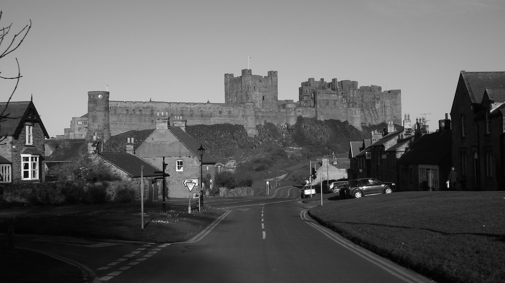
BAMBROUGH-CASTLE, a township, in the parish, and N. division of the ward, of Bambrough, union of Belford, N. division of Northumberland, 5 miles (E. by N.) from Belford; containing 59 inhabitants. This township is principally distinguished for its castle, built about the middle of the sixth century, by Ida, the first Anglo-Saxon king of Northumbria. In 642 it was besieged by Penda, King of Mercia, who, after an unsuccessful attempt to set it on fire, was compelled to retreat. In the beginning of the eighth century, Berthfrid, guardian of Osred, the young Northumbrian king, defended it against the usurper Eadulph, who was taken prisoner and put to death. It was plundered and almost demolished by the Danes in 993, but was soon restored. After the Norman Conquest it was held by Robert de Mowbray, on whose insurrection against William Rufus it was besieged, and, after an obstinate defence, surrendered to that monarch, who threatened, unless it were given up, to put out the eyes of Mowbray, who had been taken prisoner. During the war between Stephen and the Empress Matilda, and the protracted struggle between the houses of York and Lancaster, the castle sustained repeated sieges: it was taken in 1463 by Margaret of Anjou, queen of Henry VI., on her route to Hexham, after landing at Berwick, on her return from France, and at length became dilapidated in the reign of Henry VII. The castle and manor were granted in the reign of James II. to John Forster, one of whose descendants having joined the Pretender, they were confiscated to the crown, and were purchased by Lord Crewe, Bishop of Durham, who, in 1720, devised to trustees his manors of Bambrough and Blanchland, then producing £1312 and now £8126 per annum, for charitable purposes. The income is appropriated to the erection and repair of churches, the support of exhibitions and fellowships, the relief of the poor, the foundation and endowment of schools, the maintenance of the establishment at Bambrough Castle, the improvement of Sunderland harbour (for which £5000 have been paid out of the funds), and various improvements along the coast. Under the direction of Dr. Sharp, Archdeacon of Durham, the castle was repaired in 1757, the keep being set apart for the occasional residence of the trustees; and the whole is maintained in repair, with its furniture, by an estate left by Dr. Sharp for the purpose.
The castle is situated on the summit of a steep rock, which projects into the sea and rises perpendicularly to the height of 150 feet above low-water mark, being accessible only on the south-east side, where is the ancient gateway flanked with a circular tower on each side, and formerly defended by a trench cut through a narrow isthmus communicating with the main land. Within a short distance of this is a more modern gateway, with a portcullis; and a little further on is a round tower. The keep, which is of Norman architecture, and the most ancient part of the building, is a lofty square structure. In 1773, the ruins of a church or chapel, erected in the castle during the Norman period, were discovered; and the font, richly carved, is preserved, among other curiosities, in the keep. In the castle-yard are granaries, in which corn is stored to be sold to the poor at proper times; and a market is opened every Tuesday and Friday, when the industrious poor are supplied with meal and grocery at the cost price. In another part of the castle-yard is a dispensary, at which a surgeon attends twice every week; and from the surplus revenue the trustees have established two national schools, for which schoolrooms have been appropriated in the castle, and which are free to all poor children who may come. Thirty girls, between the ages of nine and sixteen, are admitted to board and lodge, and are likewise provided with clothes and washing. In 1778, the trustees founded a library, to which Dr. Sharp generously bequeathed the whole of his valuable books, including the greater part of the library of Dr. Sharp, Archbishop of York; and this collection, including nearly 6000 volumes, is open to persons residing in the neighbourhood, under certain regulations. A principal object of the establishment is also to afford assistance to shipwrecked mariners.
Extract from: A Topographical Dictionary of England comprising the several counties, cities, boroughs, corporate and market towns, parishes, and townships..... 7th Edition, by Samuel Lewis, London, 1848.
Co-Curate Page
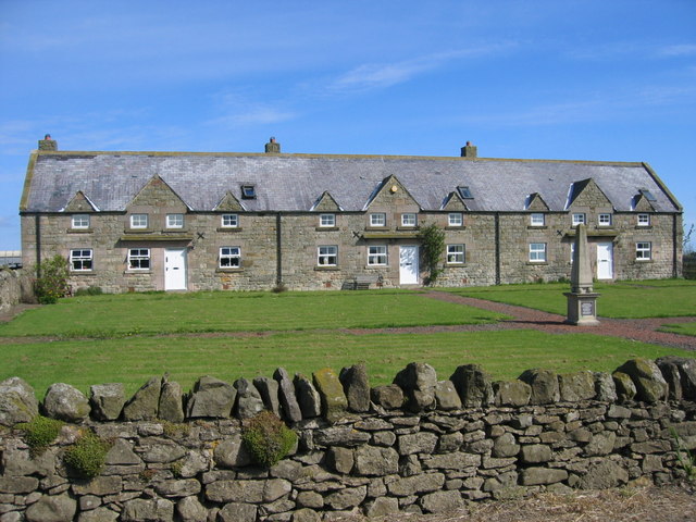
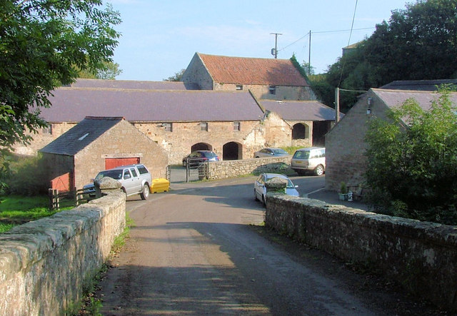
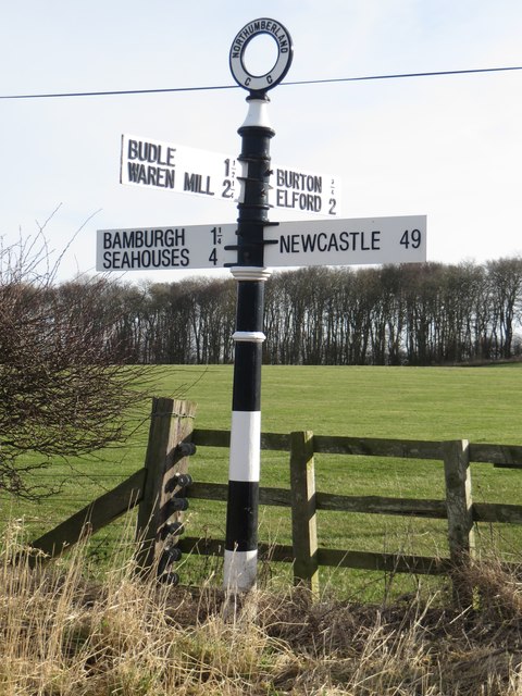
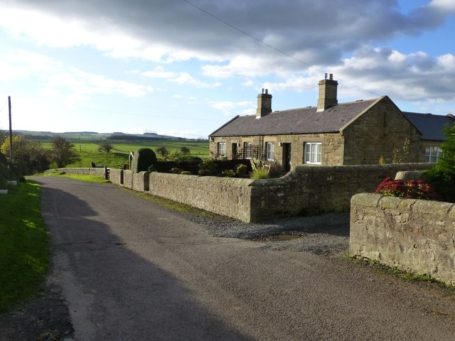
Budle
- Overview Map Street View Budle is a hamlet in Northumberland, located on the south side of Budle Bay and about 1 mile west of Bamburgh. There was a medieval village …

Co-Curate Page
Warenford Township, 1848
- WARENFORD, or Warrington, a township, in the chapelry of Lucker, parish of Bambrough, union of Belford, N. division of Bambrough ward and of Northumberland, 4 miles (S.E. by S.) from …
Co-Curate Page
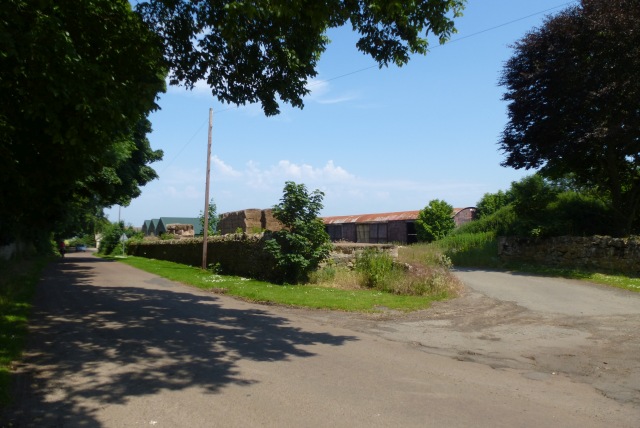
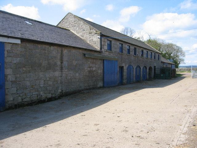
Burton
- Overview Map Street View The hamlets /farms of East Burton and West Burton are located about 1 mile south of Bamburgh and half a mile east of Glororum. There is …
Co-Curate Page
Swinhoe
- SWINHOE, a township, in the parish of Bambrough, N. division of Bambrough ward, union of Belford, N. division of Northumberland, 9½ miles (S.E. by E.) from Belford; containing 118 inhabitants. …
Co-Curate Page
Elford
- ELFORD, a township, in the parish of Bambrough, union of Belford, N. division of Bambrough ward and of Northumberland, 7 miles (E.S E.) from Belford; containing 112 inhabitants. It comprises …
Co-Curate Page
Warenton Township, 1848
- WARRENTON, a township, in the parish, and N. division of the ward, of Bambrough, union of Belford, N. division of Northumberland, 2 miles (S.) from Belford, on the road to …
Co-Curate Page
Shoreston
- Overview Map Street View Old Shoreston and New Shoreston are hamlets in Northumberland, located to the north-west of Seahouses. Old Shoreston consists of Shoreston Hall, Shoreston House, Shoreston Cottage, East House and …
Co-Curate Page
Spindlestone
- SPINDLESTONE, a township, in the parish of Bambrough, union of Belford, N. division of Bambrough ward and of Northumberland, 3¼ miles (E. by S.) from Belford; containing 151 inhabitants. It …
Co-Curate Page
Tughall Township, 1848
- TUGGAL, or Tughall, a township, in the parish, and N. division of the ward, of Bambrough, union of Belford, N. division of Northumberland, 3 miles (N.N.W.) from Embleton; containing 119 …
Co-Curate Page
North Sunderland Township, 1848
- SUNDERLAND, NORTH, a township, in the parish, and N. division of the ward, of Bambrough, union of Belford, N. division of Northumberland, 8½ miles (E. by S.) from Belford; containing …
Co-Curate Page
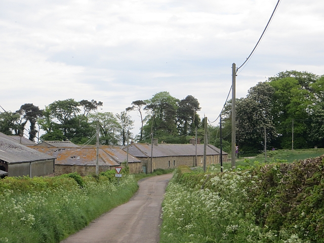
Bradford (nr Bambrugh)
- Overview Map Street View Bradford is a hamlet in Northumberland located by Waren Burn. It is two and a half miles south-west of Bamburgh and a similar distance south-east of …
Co-Curate Page
West Fleetham
- Overview Map Street View West Fleetham is a hamlet in Northumberland, located about 2 miles west of Beadnell and a mile north east of Chathill. The hamlet is located by …
Co-Curate Page
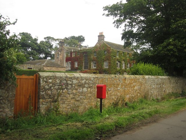
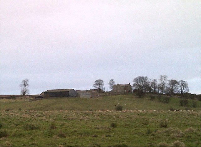
Adderstone Township, 1848
- ADDERSTONE, a township, in the parish of Bambrough, union of Belford, N. division of Bambrough ward and of Northumberland, 3 miles (S.E. by S.) from Belford; containing 302 inhabitants. The …
Co-Curate Page
Outchester Township, 1848
- OUTCHESTER, a township, in the parish of Bambrough, union of Belford, N. division of Bambrough ward and of Northumberland, 2½ miles (E. by S.) from Belford; containing 122 inhabitants. This …
Co-Curate Page
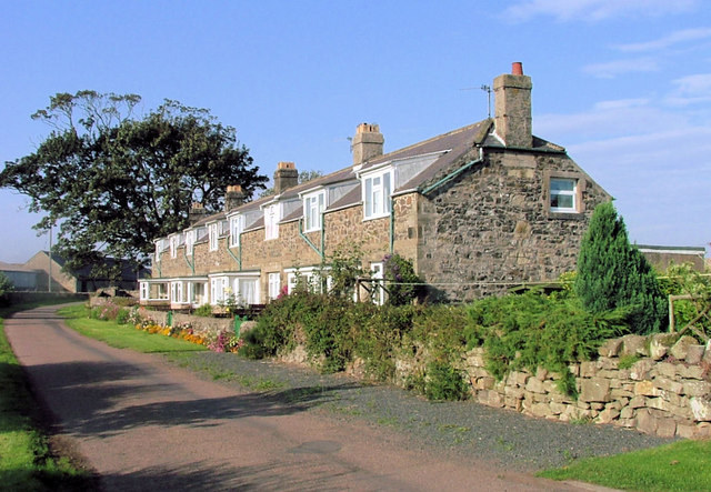
Glororum, Bamburgh
- Overview About Glororum Map Street View GLORORUM, a township, in the parish of Bambrough, union of Belford, N. division of Bambrough ward and of Northumberland, 4¾ miles (E.) from Belford; …
Co-Curate Page
Mousen
- Overview Map New Mousen Old Mousen The hamlet of New Mousen and Mousen Hall are located by the A1 road about 1½ miles south-east of Belford. Old Mousen is ¾ …
Co-Curate Page
Newham, (Belford)
- Overview Map Street View NEWHAM, a township, in the parish of Bambrough, union of Belford, N. division of Bambrough ward and of Northumberland, 7 miles (S.E.) from the town of …
Co-Curate Page
Hoppen, Northumberland
- Overview Map Hoppen is a hamlet in Northumberland, located about 3 miles south-west of Bamburgh and ½ mile north-east of the village of Lucker. Winlaw Burn flows by Hoppen Bank …
Co-Curate Page
Bambrugh Castle Township, 1848
- BAMBROUGH-CASTLE, a township, in the parish, and N. division of the ward, of Bambrough, union of Belford, N. division of Northumberland, 5 miles (E. by N.) from Belford; containing 59 …

Co-Curate Page
Newstead Township, Northumberland, 1848
- NEWSTEAD, a township, in the parish of Bambrugh, 1848, union of Belford, N. division of Bambrough ward and of Northumberland, 5¼ miles (S.E. by S.) from Belford; containing 113 inhabitants. …

Co-Curate Page
Budle
- Overview Map Street View Budle is a hamlet in Northumberland, located on the south side of Budle Bay and about 1 mile west of Bamburgh. There was a medieval village …
Co-Curate Page
Warenford Township, 1848
- WARENFORD, or Warrington, a township, in the chapelry of Lucker, parish of Bambrough, union of Belford, N. division of Bambrough ward and of Northumberland, 4 miles (S.E. by S.) from …
Co-Curate Page
Burton
- Overview Map Street View The hamlets /farms of East Burton and West Burton are located about 1 mile south of Bamburgh and half a mile east of Glororum. There is …
Co-Curate Page
Swinhoe
- SWINHOE, a township, in the parish of Bambrough, N. division of Bambrough ward, union of Belford, N. division of Northumberland, 9½ miles (S.E. by E.) from Belford; containing 118 inhabitants. …
Co-Curate Page
Elford
- ELFORD, a township, in the parish of Bambrough, union of Belford, N. division of Bambrough ward and of Northumberland, 7 miles (E.S E.) from Belford; containing 112 inhabitants. It comprises …
Co-Curate Page
Warenton Township, 1848
- WARRENTON, a township, in the parish, and N. division of the ward, of Bambrough, union of Belford, N. division of Northumberland, 2 miles (S.) from Belford, on the road to …
Co-Curate Page
Shoreston
- Overview Map Street View Old Shoreston and New Shoreston are hamlets in Northumberland, located to the north-west of Seahouses. Old Shoreston consists of Shoreston Hall, Shoreston House, Shoreston Cottage, East House and …
Co-Curate Page
Spindlestone
- SPINDLESTONE, a township, in the parish of Bambrough, union of Belford, N. division of Bambrough ward and of Northumberland, 3¼ miles (E. by S.) from Belford; containing 151 inhabitants. It …
Co-Curate Page
Tughall Township, 1848
- TUGGAL, or Tughall, a township, in the parish, and N. division of the ward, of Bambrough, union of Belford, N. division of Northumberland, 3 miles (N.N.W.) from Embleton; containing 119 …
Co-Curate Page
North Sunderland Township, 1848
- SUNDERLAND, NORTH, a township, in the parish, and N. division of the ward, of Bambrough, union of Belford, N. division of Northumberland, 8½ miles (E. by S.) from Belford; containing …
Co-Curate Page
Bradford (nr Bambrugh)
- Overview Map Street View Bradford is a hamlet in Northumberland located by Waren Burn. It is two and a half miles south-west of Bamburgh and a similar distance south-east of …
Co-Curate Page
West Fleetham
- Overview Map Street View West Fleetham is a hamlet in Northumberland, located about 2 miles west of Beadnell and a mile north east of Chathill. The hamlet is located by …
Co-Curate Page
Adderstone Township, 1848
- ADDERSTONE, a township, in the parish of Bambrough, union of Belford, N. division of Bambrough ward and of Northumberland, 3 miles (S.E. by S.) from Belford; containing 302 inhabitants. The …
Co-Curate Page
Outchester Township, 1848
- OUTCHESTER, a township, in the parish of Bambrough, union of Belford, N. division of Bambrough ward and of Northumberland, 2½ miles (E. by S.) from Belford; containing 122 inhabitants. This …
Co-Curate Page
Glororum, Bamburgh
- Overview About Glororum Map Street View GLORORUM, a township, in the parish of Bambrough, union of Belford, N. division of Bambrough ward and of Northumberland, 4¾ miles (E.) from Belford; …
Co-Curate Page
Mousen
- Overview Map New Mousen Old Mousen The hamlet of New Mousen and Mousen Hall are located by the A1 road about 1½ miles south-east of Belford. Old Mousen is ¾ …
Co-Curate Page
Newham, (Belford)
- Overview Map Street View NEWHAM, a township, in the parish of Bambrough, union of Belford, N. division of Bambrough ward and of Northumberland, 7 miles (S.E.) from the town of …
Co-Curate Page
Hoppen, Northumberland
- Overview Map Hoppen is a hamlet in Northumberland, located about 3 miles south-west of Bamburgh and ½ mile north-east of the village of Lucker. Winlaw Burn flows by Hoppen Bank …
Co-Curate Page
Bambrugh Castle Township, 1848
- BAMBROUGH-CASTLE, a township, in the parish, and N. division of the ward, of Bambrough, union of Belford, N. division of Northumberland, 5 miles (E. by N.) from Belford; containing 59 …