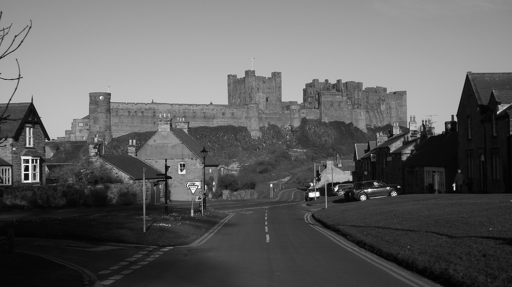
Topics > Northumberland > Bamburgh > Bamburgh Parish, 1848 > Ratchwood, Northumberland
Ratchwood, Northumberland
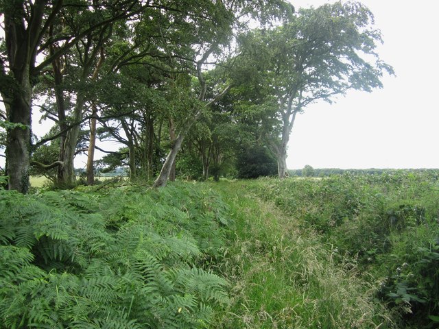
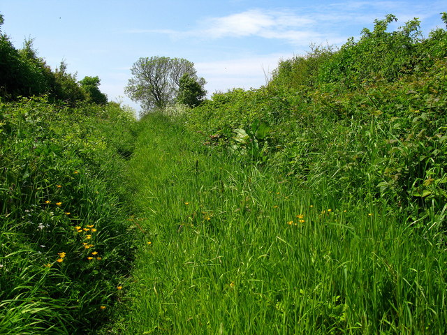
Ratchwood is located about half a mile south-east of Warenford in Northumberland. It is thought to have been the location of a medieval settlement[1] and in the mid-19th century, was recorded as a township in the ancient parish of Bambrugh. However, there is no longer a settlement here; modern OS maps show "Ratchwood (ruin)" and "Rachwood Strip"; the latter being a modest strip of woodland.
RATCHWOOD, a township, in the parish of Bambrough, union of Belford, N. division of Bambrough ward and of Northumberland, 4½ miles (S.E. by S.) from the town of Belford; containing 19 inhabitants. It is situated at a short distance east of the road from Belford to Alnwick.
Extract from: A Topographical Dictionary of England comprising the several counties, cities, boroughs, corporate and market towns, parishes, and townships..... 7th Edition, by Samuel Lewis, London, 1848.

from https://keystothepast.info/se…
Ratchwood
- "The possible site of a medieval village, although there is no firm evidence to support this claim...."
Added by
Simon Cotterill

from https://keystothepast.info/se…
Ratchwood
- "The possible site of a medieval village, although there is no firm evidence to support this claim...."
Added by
Simon Cotterill