Topics > Northumberland > Civil Parishes in Northumberland > Ponteland Civil Parish
Ponteland Civil Parish
Ponteland Civil Parish is served by Ponteland Town Council. As well as Ponteland and Darras Hall Estate, the parish includes Berwick Hill, High Callerton, Higham Dykes, Medburn, Milbourne and Prestwick.
Area: 57.6 km²
Population:
11,669 (2021 Census)
10,921(2011 Census)
10,871 (2001 Census)

from http://www.ponteland-tc.gov.u…
Ponteland Town Council
- Website of Ponteland Town Council. "...The parish of Ponteland has a population of around 11,000 and comprises the town and neighbouring Darras Hall estate, and the villages of Medburn, Milbourne, …
Added by
Simon Cotterill
Co-Curate Page
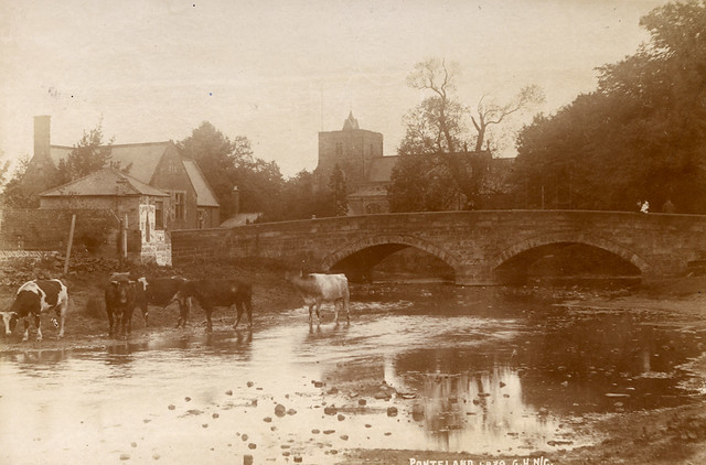
Ponteland
- Overview About Ponteland Map Street View Ponteland is a town in Northumberland, situated by the River Pont and located about 7 miles north-west of the city centre of Newcastle upon …
Co-Curate Page
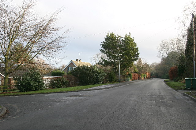
Darras Hall
- Overview Map Street View Darras Hall is a large and exclusive estate at the south-west of Ponteland. The medieval village of Darras Hall was first recorded in the 13th century, …
Co-Curate Page
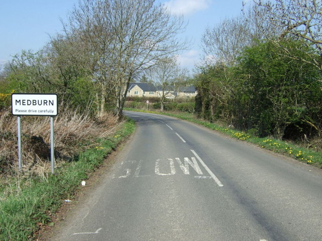
Medburn
- Overview Map Street View Medburn is a small residential settlement just west of Darras Hall, Ponteland. It takes it's name from the Med Burn, a local stream, which joins the …
Co-Curate Page
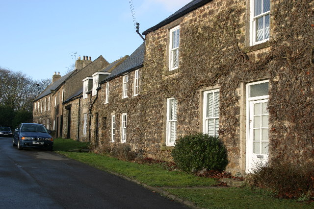
High Callerton
- Overview Map Street View High Callerton is a village in Northumberland, located immediately south-east of Darras Hall and about 1½ miles south-west of Ponteland. Rebellion House here dates from the …
Co-Curate Page
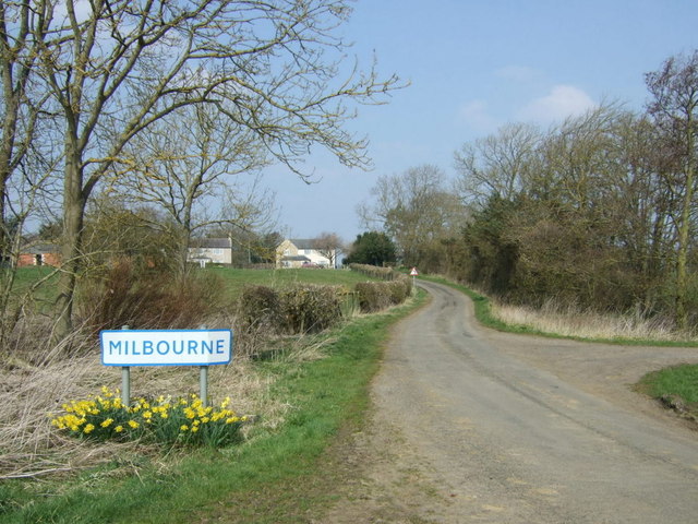
Milbourne
- Overview About Milbourne Map Street View Milbourne is a village in Northumberland, located about 3 miles north-west of Ponteland and situated by Mill Burn (known as Coldcoats Burn downstream, and a tributary …
Co-Curate Page
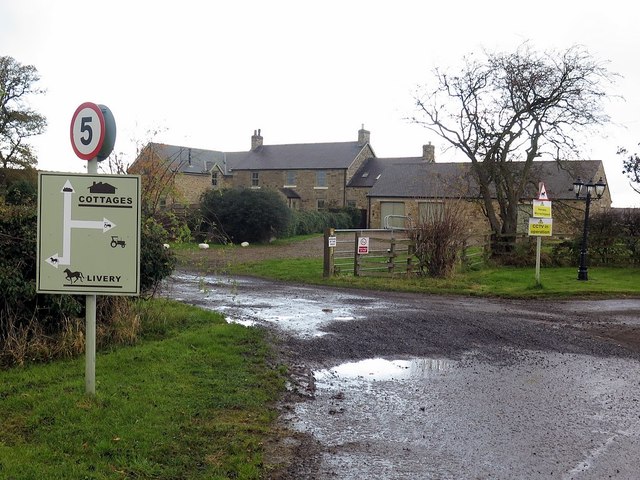
South Dissington
- Overview Map South Dissington is a farmstead situated by the Med Burn (stream), about half a mile west of the village of Medburn and 3 miles south-west of Ponteland. It …
Co-Curate Page
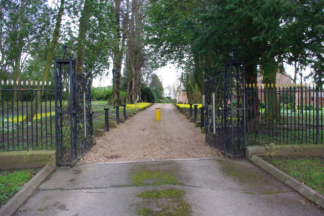
Higham Dykes
- Overview Map Higham Dykes is a hamlet in Northumberland, located just off the A696 road, about 2½ miles north-west of Ponteland. The large county house of Higham Dykes dates from …
Co-Curate Page
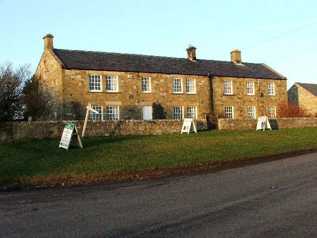
Berwick Hill, nr Ponetland
- Overview Map Street View Berwick Hil is a hamlet in Northumberland, located about 2 miles nort-east of Pontetland. In medieval times there was a larger settlment here; the village of …
Co-Curate Page
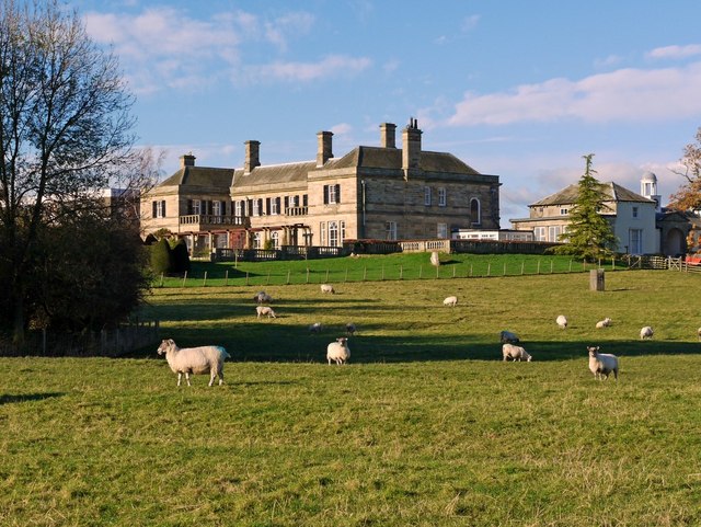
Kirkley Hall
- Overview About Kirkley Hall Map Street View Kirkley Hall is a 17th-century historic country mansion and Grade II listed building. The estate has over 190 acres of land and …
Co-Curate Page
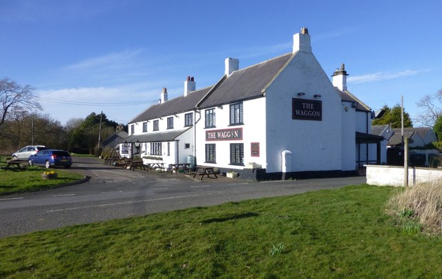
Westgate, Ponteland
- Overview Map Street View Westgate is a hamlet by the A696 road, located about 2½ miles north-west of Ponteland and 2½ miles south-east of Belsay, in Northumberland. The former farmhouse …
Co-Curate Page
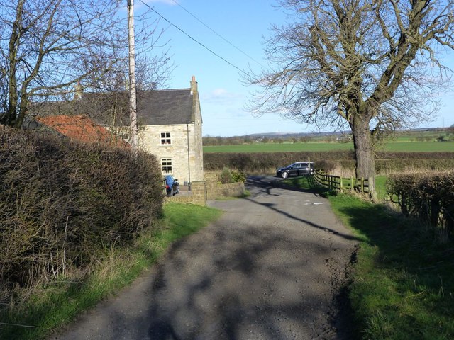
Eastgate, Ponteland
- Overview Map Street View Eastgate is located about 2 miles north of Ponteland and ½ mile south of Kirkley Hall. There are just a couple of houses here. A minor …
Co-Curate Page
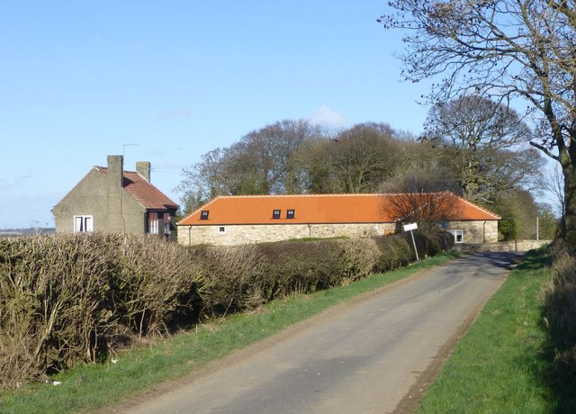
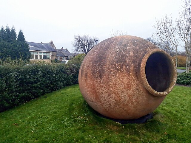
West Thorn, Ponteland
- Overview Map Street View West Thorn is a hamlet and farm in Northumberland, located just over 2 miles north-west of Ponteland. West Thorn and East Thorn are located on a …
Co-Curate Page
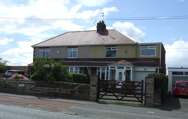
Street Houses
- Overview Map Street View Street Houses is a hamlet in Northumberland, located on the A696 road, about half mile south-east of Ponteland. It includes The Badger (public house) and Dobbies …
Co-Curate Page
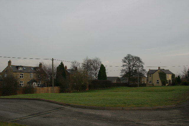
Prestwick Road End
- Overview Map Street View Prestwick Road End is a hamlet at the south end of Prestwick Road at it's junction with the A696 road, located about ½ mile south-west of …
Co-Curate Page
Prestwick
- Overview Map Street View Prestwick is a village in Northumberland, located about a mile south-east of Ponteland and just over a mile south-west of Dinnington in Newcastle upon Tyne. Prestwick …


from http://www.ponteland-tc.gov.u…
Ponteland Town Council
- Website of Ponteland Town Council. "...The parish of Ponteland has a population of around 11,000 and comprises the town and neighbouring Darras Hall estate, and the villages of Medburn, Milbourne, …
Added by
Simon Cotterill

Co-Curate Page
Ponteland
- Overview About Ponteland Map Street View Ponteland is a town in Northumberland, situated by the River Pont and located about 7 miles north-west of the city centre of Newcastle upon …

Co-Curate Page
Darras Hall
- Overview Map Street View Darras Hall is a large and exclusive estate at the south-west of Ponteland. The medieval village of Darras Hall was first recorded in the 13th century, …

Co-Curate Page
Medburn
- Overview Map Street View Medburn is a small residential settlement just west of Darras Hall, Ponteland. It takes it's name from the Med Burn, a local stream, which joins the …

Co-Curate Page
High Callerton
- Overview Map Street View High Callerton is a village in Northumberland, located immediately south-east of Darras Hall and about 1½ miles south-west of Ponteland. Rebellion House here dates from the …

Co-Curate Page
Milbourne
- Overview About Milbourne Map Street View Milbourne is a village in Northumberland, located about 3 miles north-west of Ponteland and situated by Mill Burn (known as Coldcoats Burn downstream, and a tributary …

Co-Curate Page
South Dissington
- Overview Map South Dissington is a farmstead situated by the Med Burn (stream), about half a mile west of the village of Medburn and 3 miles south-west of Ponteland. It …

Co-Curate Page
Higham Dykes
- Overview Map Higham Dykes is a hamlet in Northumberland, located just off the A696 road, about 2½ miles north-west of Ponteland. The large county house of Higham Dykes dates from …

Co-Curate Page
Berwick Hill, nr Ponetland
- Overview Map Street View Berwick Hil is a hamlet in Northumberland, located about 2 miles nort-east of Pontetland. In medieval times there was a larger settlment here; the village of …

Co-Curate Page
Kirkley Hall
- Overview About Kirkley Hall Map Street View Kirkley Hall is a 17th-century historic country mansion and Grade II listed building. The estate has over 190 acres of land and …

Co-Curate Page
Westgate, Ponteland
- Overview Map Street View Westgate is a hamlet by the A696 road, located about 2½ miles north-west of Ponteland and 2½ miles south-east of Belsay, in Northumberland. The former farmhouse …

Co-Curate Page
Eastgate, Ponteland
- Overview Map Street View Eastgate is located about 2 miles north of Ponteland and ½ mile south of Kirkley Hall. There are just a couple of houses here. A minor …

Co-Curate Page
West Thorn, Ponteland
- Overview Map Street View West Thorn is a hamlet and farm in Northumberland, located just over 2 miles north-west of Ponteland. West Thorn and East Thorn are located on a …

Co-Curate Page
Street Houses
- Overview Map Street View Street Houses is a hamlet in Northumberland, located on the A696 road, about half mile south-east of Ponteland. It includes The Badger (public house) and Dobbies …

Co-Curate Page
Prestwick Road End
- Overview Map Street View Prestwick Road End is a hamlet at the south end of Prestwick Road at it's junction with the A696 road, located about ½ mile south-west of …

Co-Curate Page
Prestwick
- Overview Map Street View Prestwick is a village in Northumberland, located about a mile south-east of Ponteland and just over a mile south-west of Dinnington in Newcastle upon Tyne. Prestwick …

Northumberland

Civil Parishes in Northumberland

Benridge, with Kirkley and Carter-Moor Township, 1848

Berwick Hill Township, Historical Account, 1848
Coldcoats, Ponteland

Kirkley Township, 1848
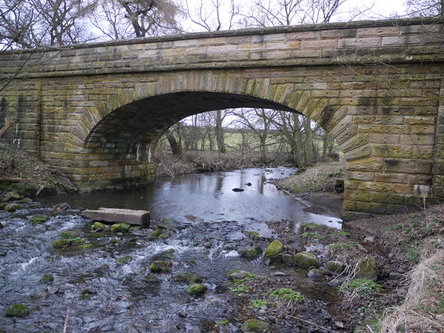
Dissington Bridge
Historic Buildings and Monuments in Ponteland CP

Low Callerton Township, 1848

North Dissington Township, 1848

Ponteland Parish, 1848

Ponteland Parish, 1855


