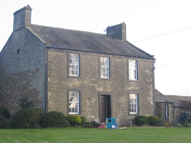
Topics > Industry and Work > Farming > Farms
Farms
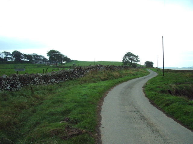
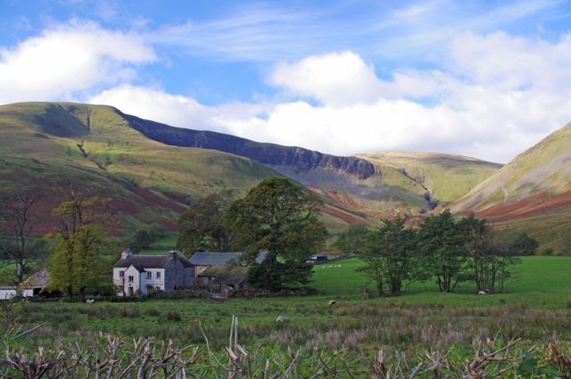
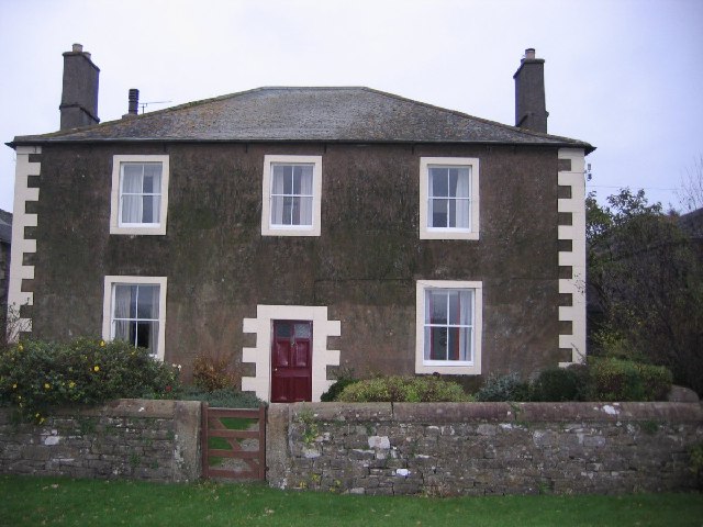
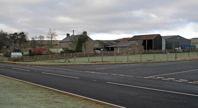
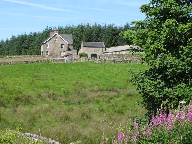
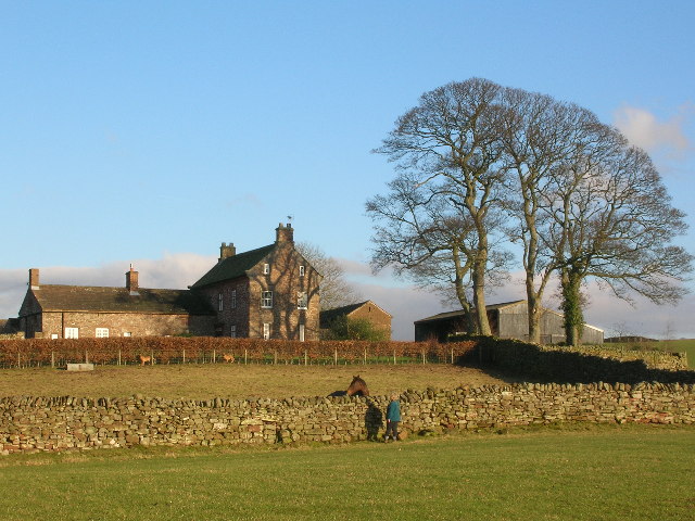
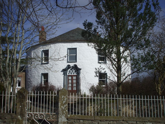
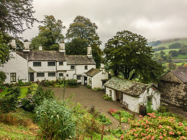
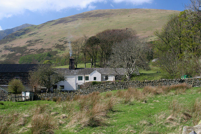
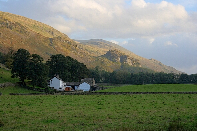
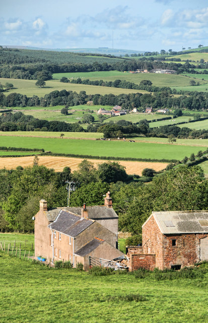
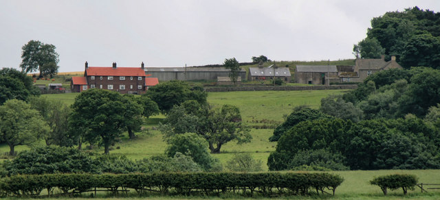
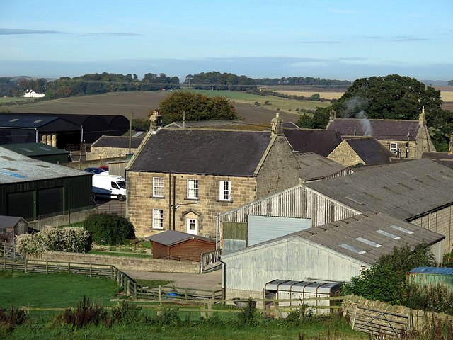
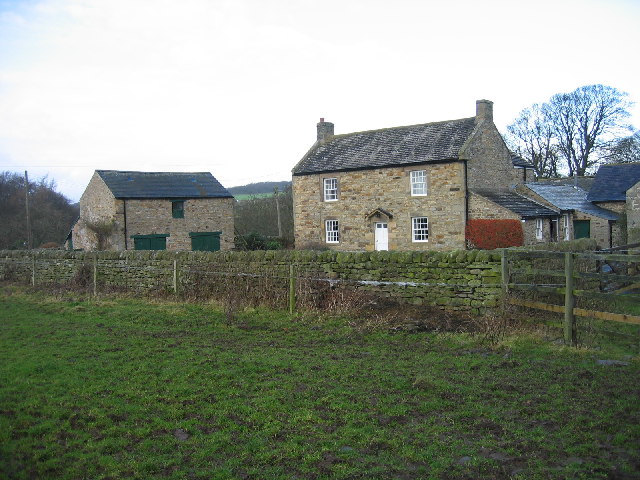
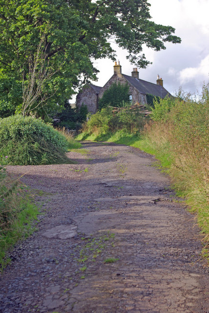
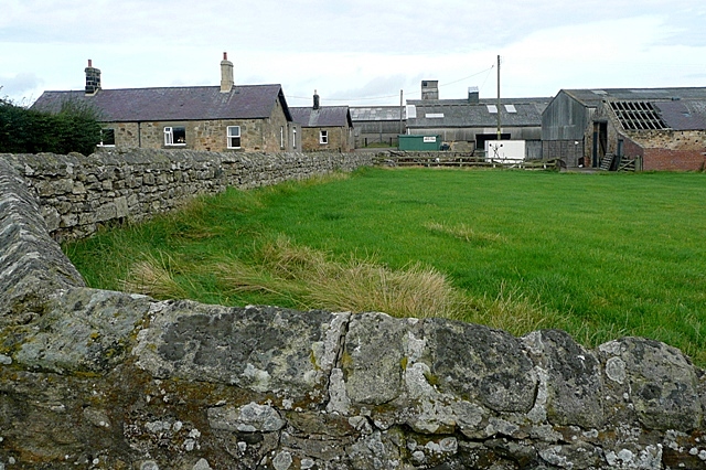
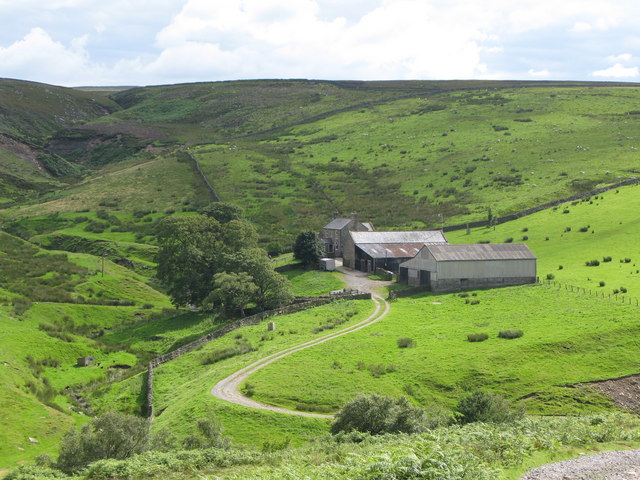
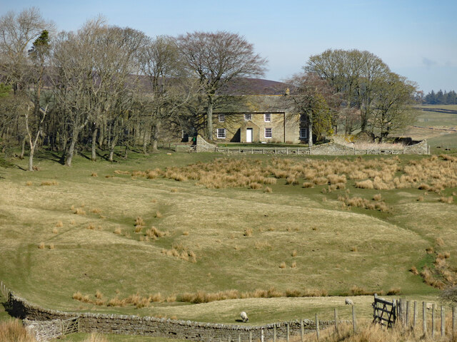
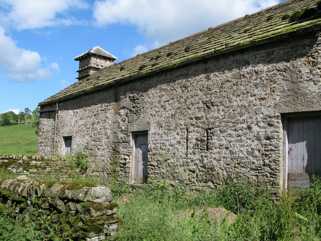
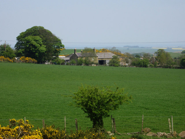
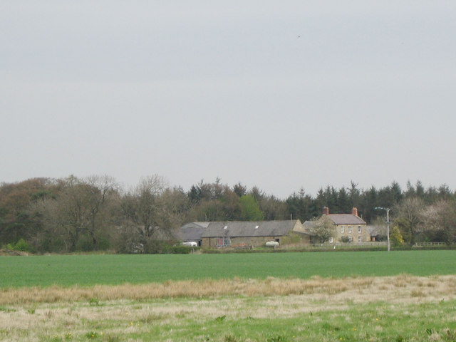
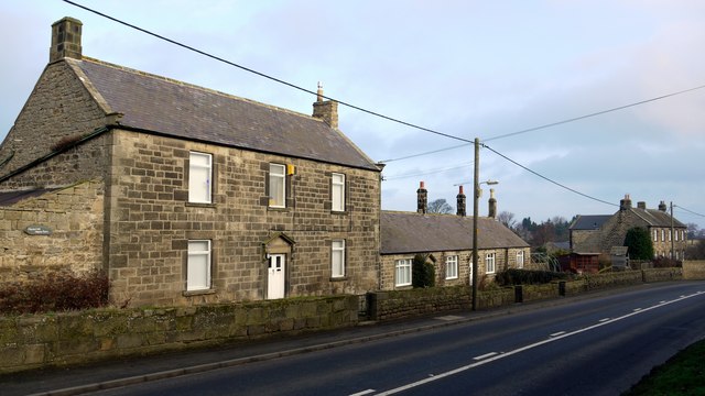
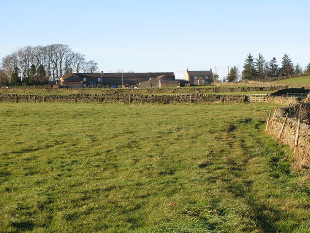
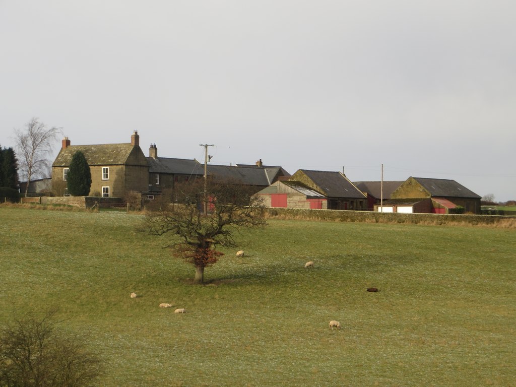
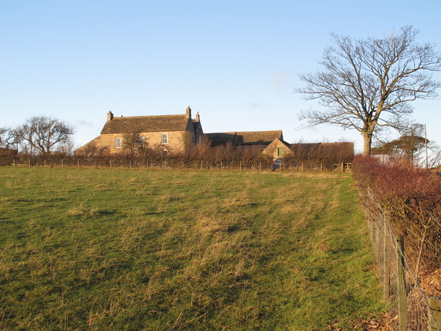
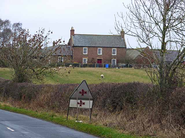
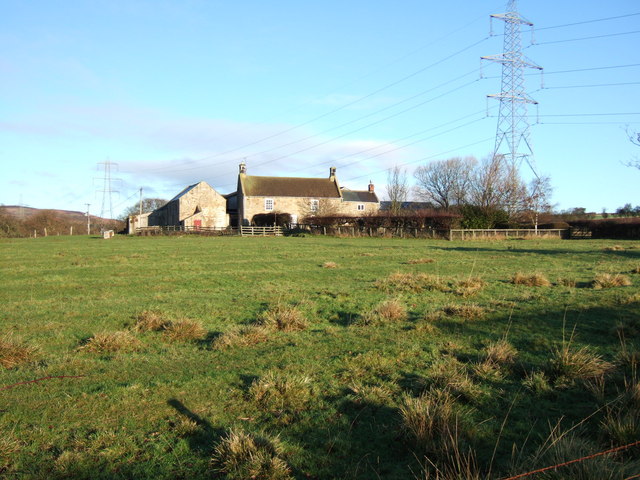
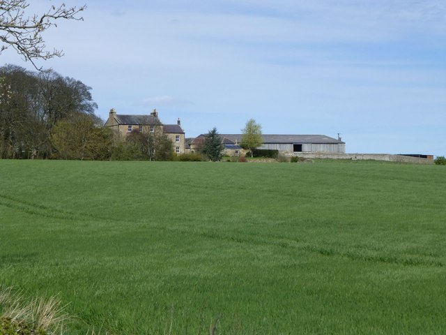
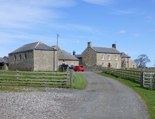
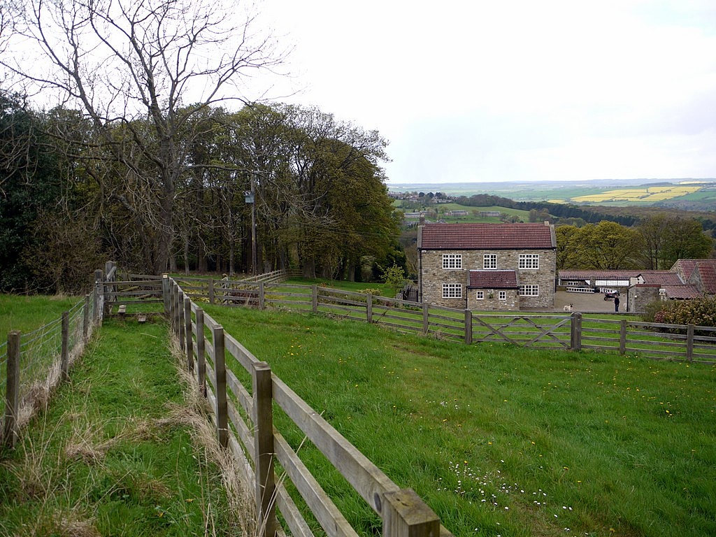
Some of the farms in the North East and Cumbria.
See also: Farming (history) and List of Farms in Northumberland (searchable, historical list of over 5,000 farms). There are also selective lists of farms in Cumberland, farms in Westmorland and Furness, and farms in County Durham.
Co-Curate Page
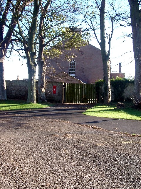
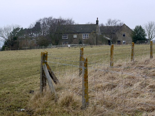
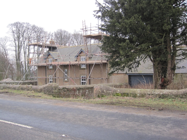
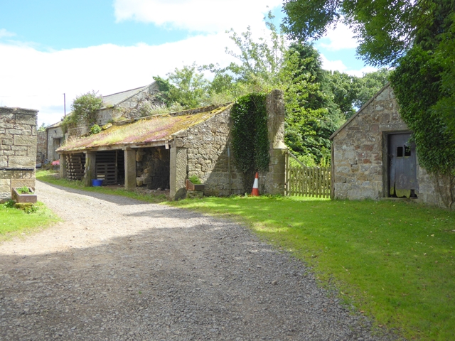
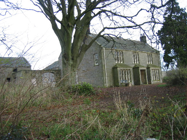
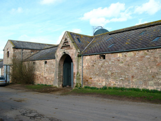
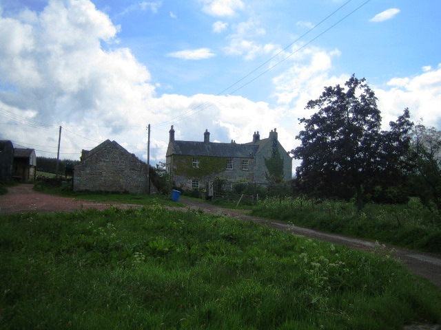
Fenham Farmhouse
- Overview Map Street View The house at Fenham Farm was built 1820 - 1830, and is Grade II listed on the National Heritage List for England. The farm in Fenham, …
Co-Curate Page
Ashtrees (Byrness)
- Ashtrees is a farm located to the south of Cleughbrae Burn, about 1½miles south of the village of Rochester in Northumberland. Whellan's 1885 directory of Northumberland lists Ash Trees under …

Co-Curate Page
Red House Farm, Bearpark
- Overview Map Street View Red House Farm is located off Woodland Road, just west of Bearpark in County Durham. The barn and farm buildings, which form a courtyard, were built …
Co-Curate Page
Tursdale House Farm
- Overview Map Tursdale House, was the manor house of the medieval village of Tursdale in the 12th century.[1] The current building at Tursdale House Farm dates from the 17th century, with …
Co-Curate Page
Great Isle, County Durham
- Overview Map Great Isle Farm in County Durham is located about 1½ miles north east of Newton Aycliffe and 3 miles south-west of Sedgefield. In medieval times, Great Isle was the …
Co-Curate Page
Nesbitt Hill Head
- Overview Map Nesbitt Hill Head is a hamlet/farm in Northumberland, located about 1½ miles south of the village of Stamfordham. It is located at the south-west of Ouston Airfield, close …
Co-Curate Page
Ribton House Farm
- Overview Map Street View Ribton House is a farm located just north-west of Ribton Hall in Ribton, about half a mile east of the village of Camerton in Cumbria. The …
Co-Curate Page
Whalemoor
- Overview Map Whalemoor (aka Whale Moor) and Whalemoor Head are farms, located about 5½ miles south of Penrith and ¾mile south-east of the hamet of Whale in Cumbria. OS maps …
Co-Curate Page
Kirfitt Hall Farm
- Overview Map Kirfitt Hall Farm is located near the east bank of the River Lune, about half mile north-east of Kirkby Lonsdale and half mile south-west of Casterton. The farmhouse …
Co-Curate Page
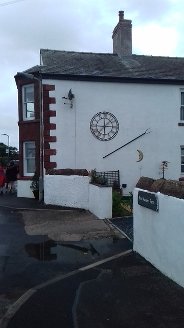
Bow Windows Farm
- Overview Map Street View Bow Windows Farmhouse in Rampside dates from 1654, and was extended in the18th century and altered 19th centry. The associated farm buildings are mid 18th century.[1] …

Co-Curate Page
Larkrigg, Cumbria
- Overview Map Larkrigg is a farm / hamlet in Cumbria. It is situated near the west banks of the River Kent, and located about south west of the village of …
Co-Curate Page
Swinside
- Overview Map Swinside is a remote farm / hamlet by Swinside Fell in Cumbria, located about 2 miles west of Duddon Bridge. The Swinside Stone Circle (also known as Sunkenkirk …
Co-Curate Page
Flatt, Allerdale
- Overview Map Street View The Flatt is a farm / hamlet in Allerdale, Cumbria (sometimes called Flat). Flatt is located about a mile south-east of the village of Kirkbampton and …
Co-Curate Page
Knar, Northumberland
- Overview Map Knar is a farm in Northumberland, located about 1 mile south-west of the village Slaggyford and 5 miles north-west of the town of Alston, in Cumbria. It is …
Co-Curate Page
Angerton (Furness)
- Overview Map Street View Angerton is a farm / hamlet in the Furness area of Cumbria, within Angerton Civil Parish. It is situated by the estury of the River Duddon. …
Co-Curate Page
Low Haygarth
- Overview Map Street View Low Haygarth is a farm located off Cautley Road, in Cautley, about 4 miles north-east of Sedbergh in Cumbria. It is situated at the foot of …
Co-Curate Page
Dovenby Craggs
- Overview Map Street View Dovenby Craggs is a farm in Cumbria located about 1½ mile north-west of Cockermouth and about ½ mile south-east of the village of Dovenby. The farm …
Co-Curate Page
Bennettsfield
- Overview Map Street View Bennettsfield (aka Bennetsfield, Bennets Field) is a farm in Northumberland, located about 3 miles north-west of Otterburn and 2 miles south-east of the village of Rochester. …

Co-Curate Page
Burdhopecrag
- Overview Map Street View Burdhopecrag is a farm located by the A68, about 1 mile north-west of the village of Rochester. It is situated by the junction of the A68 …

Co-Curate Page
Blakehopeburnhaugh
- Overview Map Street View Blakehopeburnhaugh is a farm in Redesdale Forest, located about ¼mile south-west of the A68 and 8 miles north-west of Otterburn. The farm is situated by Blakehope …

Co-Curate Page
Broomhouse (Denwick)
- Overview Map Street View Broom House (aka Broomhouse) is located about 1 mile north of Alnwick and 1 mile west of the village of Denwick. It is by the junction …
Co-Curate Page
Loaning Head
- Overview Map Street View Loaning Head is a farm in Northumberland, located by the B6341 (the old Great North Road), near its junction with Smiley Lane. It is close to …
Co-Curate Page
Narthwaite
- Overview Map Narthwaite is a farm / hamlet in the Eden district of Cumbria. It is situated on a hill close to the confluence of Backside Beck with the River Rawthey; …
Co-Curate Page
Brownrigg (Rochester and Byrness)
- Overview Map Street View Brownrigg is located by the A68, about 19 miles north of Hexham and 3 miles south-east of the village of Rochester. Brownrigg is listed in the …
Co-Curate Page
High House, near Gilsland
- Overview Map Street View HIgh House Farm is located about 2 miles West-South-West of Gilsland in Cumbria. The farmhouse and barn here date from 1677 and are Grade II listed …
Co-Curate Page
Moscow
- Overview Map Street View Moscow Farm is locate about 1½ miles north-west of Gilsland in Cumbria. Moscow is close to the entrance to RAF Spadeadam, and near the county border …
Co-Curate Page
Nether Haresceugh
- Overview Map Street View Nether Haresceugh is a farm/hamlet located about 1½ miles north east of Kirkoswald in Cumbria. The red sandstone farmhouse here dates from 1612 with an extension …
Co-Curate Page
Fiddleback Farmhouse
- Overview Map Street View Fiddleback is a farm and B&B in West Wodside in Cumbria. The farmhouse was built in 1709 and has a distinctive curved walls and shaped like …
Co-Curate Page
Townend, Troutbeck
- Overview About Townend Map Street View Townend is a large house and farm located on Holbeck Lane to the south of Troutbeck. It was built in 1626 for George Browne, …
Co-Curate Page
Stoneraise, Threlkeld
- Overview Map Street View Stoneraise is a farm, located about 1½ miles noth-east of the vlllage of Threlkeld in Cumbria. The farmhouse was built in the mid 17th century, with …
Co-Curate Page
Bram Crag farmhouse
- Overview Map Street View Bram Crag farmhouse, in St John's in the Vale, was built in the late 17th century, with alterations in the 20th century.[1] The farmhouse is Grade …
Co-Curate Page
Northsceugh
- Overview Map Street View High Northsceugh and Low Northsceugh are farms / hamlets in Cumbria, located about 8 miles south-east of Carlisle. Low Northsceugh is located by Northsceugh Beck, and …
Co-Curate Page
Healeyfield
- Overview Map Street View Healeyfield is a farm / hamlet in County Durham, located near Castleside and about 3 miles south-west of Consett. To the south of the farm is …
Co-Curate Page
Houghton South Farmhouse
- Overview Map The farmhouse at South Farm at Houghton in Northumberland was built in 1826. The farm was part of the Close House Estate. Then in 1953, when the estate was …
Co-Curate Page
Mollersteads
- Overview Map Street View Mollersteads is a farm / hamlet by Rowley Burn, to the east of Whitley Mill and about half a mile north of Whitley Chapel, in Hexhamshire, Northumberland. …
Co-Curate Page
Whitelee (Byrness)
- Overview Map Street View Whitelee is a farm / hamlet in Northumberland, located about 1½ miles south-east of Carter Bar on the England-Scotland border, and 3½ miles north-west of Byrness …

Co-Curate Page
Laverock Law
- Overview Map Street View Laverock Law is a farm in Northumberland, located to the west of the village of Holburn and south of the village of Lowick. It is situated …
Co-Curate Page
Wooden, Northumberland
- Overview Map Street View Wooden is a farm / hamlet in Northumberland, located about 1 mile south-west of Alnmouth. There is a level crossing over the Eastcoast mainline railwat , …
Co-Curate Page
Heatheryburn, Northumberland
- Overview Map Heatheryburn is a farm in Northumberland, located by Riddlehamhope Fell, near the confluence of Heathery Burn and Beldon Burn.
Co-Curate Page
Harwood Shield
- Overview Map Harwood Shield is a farm / hamlet in Northumberland, located about 8 miles south of Hexham and 3½ miles west of Blanchland. The farmhouse here dates from the …
Co-Curate Page
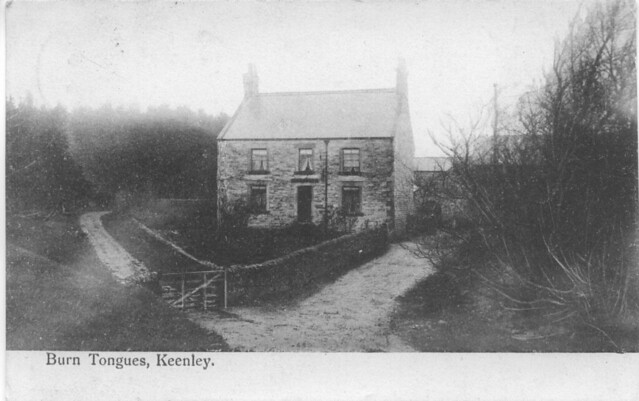
Burn Tongues, Northumberland
- Overview Map Street View Burn Tongues is a farm in Keenley, Northumberland. It is located off Common Bank (road), about 2 miles west of Allendale Town. The farm is situated …
Co-Curate Page
Monk Farm
- Overview Map The Monk Farm stands on the east side of the valley of the River West Allen in Northumberland, at the head of a steep slope. It is about …

Co-Curate Page
Bishopside, Haydon
- Overview Map Bishopside is a farm in Northumberland, located about a mile north-west of Catton and 4 miles south-west of Haydon Bridge. It is situated by Kiln Burn, which joins …
Co-Curate Page
East Bolton, Northumberland
- Overview Map Street View East Bolton is a hamlet / farm in Northumberland, located about 4 miles north-west of Alnwick and just over 2 miles north-east of West Bolton. It …
Co-Curate Page
Rosebrough, Northumberland
- Overview Map Street View Rosebrough is a farm in Northumberland, located off the A1 road, about 5 miles south-east of Belford and 9 miles north-west of Alnwick. Historically, Rosebrough was …
Co-Curate Page
Fallowlees
- Overview Map Fallowlees Farm is located on the edge of Harwood Forest, about 5 miles south-west of Rothbury in Northumberland. Remains of ridge and furrow cultivation suggest there was a …
Co-Curate Page
Dovecote Farm
- Overview Map Street View Dovecote Farm is located just over 1 mile N.N.W. of the village of Stannington in Northumberland. It is close to a minor junction on the north-bound …
Co-Curate Page
Rayheugh, Northumberland
- Overview Map Street View Rayheugh is a farm / hamlet in Northumberland, located off the A1 road, about 4 miles south-east of Belford and 10 miles north-west of Alnwick. Rayheugh …
Co-Curate Page
Lough House Farm, Stannington
- Overview Map Street View Lough House Farm is located about ½ mile north of the village of Stannington. In addition to the farm, the venue is licensed for civil ceremonies …
Co-Curate Page
Houghton North Farmhouse
- Overview Map Street View The farmhouse at North Farm in Houghton dates from 1802, although there has probably been a farm here from earlier times. Parts of the farm buildings …

Co-Curate Page
Hobberlaw
- Overview Map Street View Hobberlaw is a farm in Northumberland, located off Rugley Road, south west of Alnwick. A settlement existed here in medieval times, which was part of the …

Co-Curate Page
Intake Farm, Alnwick
- Overview Map Street View Intake Farm is located of Rugley Road, to the south-west of Alnwick. Whellan's 1855 directory of Northumberland lists Elizabeth Patterson as the farmer at Intake at …

Co-Curate Page
Snipe House, Denwick
- Overview Map Snipe House is a farm / hamlet in Northumberland, located about 3 miles south-west of Alnwick and 2 miles west of Shilbottle. Whellan's 1855 directory of Northumberland lists …

Co-Curate Page
Freeman's Hill, Alnwick
- Overview Map Street View Freeman's Hill Farm is located about 3½ miles south-west of the town of Alnwick. The farm was built and enclosed from Alnwick Moor common in 1771. …

Co-Curate Page
St Margaret's Farm, Denwick
- Overview Map Street View St Margaret's is located about 2½ miles south-west of the town of Alnwick. It is situated near Firth Burn. Whellan's 1855 directory of Northumberland lists Thomas …

Co-Curate Page
Herds House, Alnwick
- Overview Map Street View Herds House is a farm was enclosed and built on Alnwick Common (Aydon Forest) in 1705. The present building probably dates from the later 18th century. …

Co-Curate Page
Lough House, Alnwick
- Overview Map Street View Lough House is located to the east of Alnwick, accessed via an underpass under the AI road. The original 18th century Lough House was recorded a …

Co-Curate Page
Old Town (South), Allendale
- Nearby is Old Town (North Farm). aka Wester Old Town?

Co-Curate Page
Rattenraw
- Overview Map Rattenraw is a farm, located about 2½ miles north-west of Otterburn in Northumberland. It is situated by Rattenraw Burn, shortly before it's confluence with the River Rede. Rattenraw …
Co-Curate Page
Old Town, Otterburn
- Overview Map Street View Old Town is a hamlet in Northumberland, located about 1 mile south of Otterburn. It includes a farm, a few cottages and a bungalow. Old Town …
Co-Curate Page
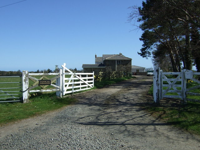
Hazon Lea
- Overview Map Street View Hazon Lea is a farm in Northumberland, located about 5 miles south of Alnwick. It is situated to the west of Hazon Burn. There is a …

Co-Curate Page
Hazon High Houses (farm)
- Overview Map Street View Hazon High Houses is a farm, located about ¾mile north of the hamlet of Hazon in Northumberland. It is recorded in the 1860 Northumberland Farms Index …

Co-Curate Page
Hesleywell, West Allen
- Overview Map Hesleywell is a Farm / hamlet, located about 1½ miles south-west of Ninebanks in West Allen, Northumberland. It is situated to the east of Mohope Burn.

Co-Curate Page
Farney Shield, West Allen
- Overview Map Farney Shield is a farm in West Allen, Northumberland. Whellan's 1855 directory of Northumberland lists Farney Shield under the grievship of High West Allen, in the ancient parish …

Co-Curate Page
Farneyside, West Allen
- Overview Map Street View Farneyside (aka Farney Side) is a farm / hamlet situated by the River West Allen in Northumberland, about 1 mile south of Ninebanks. North of the …
Co-Curate Page
Spartywell
- Overview Map Street View Spartywell (aka Sparty Well) is located just under a mile south of Ninebanks in Northumberland .A medieval settlement was documented at Spartywell, but there are no …
Co-Curate Page
Turney Shield, West Allen
- Low Turney Shield and High Turney Shield are farms are located by the River West Allen, north of where Turney Cleugh joins the river. The farmhouse and outbuilding at Low …
Co-Curate Page
Gate House, West Allen
- Overview Map Gate House is a farm in Northumberland, situated by Gate House Burn, and located about 1 mile north of Ninebanks. Wellan's 1855 directory of Northumberland records Gate House …

Co-Curate Page
Leadgate, West Allen
- Overview Map Street View Leadgate Farm is located on Leadgate Bank (road) to the north-east of Ninebanks in Northumberland. It is one of many locations with the placename of Leadgate, …

Co-Curate Page
Hindleyhill, Allendale
- Overview Map Hindleyhill (aka Hindley Hill) is a farm in Northumberland, located about 2½ miles north-west of Allendale Town. It is situated by the River East Allen, near where Hindley …

Co-Curate Page
Keenley Thorn
- Overview Map Street View Keenley Thorn is a farm in West Allen, located about 2 miles north-east of Ninebanks. Whellan's 1855 directory of Northumberland lists Robert Blair as farmer at …
Co-Curate Page
Park Farm, Allendale
- Overview Map Street View Park Farm is located about 1½ miles south of Allendale Town. It is situated by the west banks of the River East Allen, close to where …
Co-Curate Page
Angerton North Moor
- Overview Map Street View Angerton North Moor Farm is located about ¾ mile north-west of the village of Hartburn in Northumberland. It is situated to the south of Hart Burn …
Co-Curate Page
Kimmerston
- Overview Map Street View Kimmerston is a hamlet in Northumberland, located about 1 mile south of Ford, 3 miles north-west of Doddington, and 5 miles north of Wooler. It is centred …
Co-Curate Page
Low Angerton Farmhouse
- Overview Map Street View The farmhouse at Low Angerton is dated 1683, with the initials H.F. on it's fireplace lintel. The building was extended in the 18th century and a …
Co-Curate Page
Howlet Hall (Hartburn)
- Overview Map Howlet Hall is a farm, located about 5½ miles west of Morpeth and ¾ mile south-east of Low Angerton in Northumberland. Historically, it was part of the township …
Co-Curate Page
Highlaws, Northumberland
- Overview Map Highlaws is a hamlet/farm in Northumberland, located near the River Wansbeck and about 8 miles west of Morpeth. Highlaws Farmhouse is dated 1728 with the initials W.D.A. (William and …
Co-Curate Page
West Shield Hill
- West Shield Hill is a farm in Northumberland, located within the Civil Parish of Hebron. It is situated by Shieldhill Burn. The farmhouse at West Shield Hill dates from the …
Co-Curate Page
Old Moor Farmhouse
- Overview Map Street View The Farmhouse at Old Moor in Northumberland was built in c.1840, on the site oif an earlier building. The farmhouse is Grade II listed on the …
Co-Curate Page
Farmhouse, Black Hedley
- The farmhouse at Black Hedley was built in c.1750 as a house for Humphrey Hopper. The rear wing of the buildng was rebuilt in c.1930 after a fire. The house …
Co-Curate Page
Farmhouse, Buckton
- Overview Map Street View The farmhouse at Buckton in Northumberland dates from the mid 18th century, located near the site of an earlier Medieval settlement. The farmhouse was refaced and …
Co-Curate Page
The Peels Farmhouse
- Overview Map The farmhouse at The Peels, near Harbottle dates from the 18th century. It's rear wing was added in the early 19th century. The farmhouse is Grade II listed …
Co-Curate Page
Fotherley Buildings, Healey
- Overview Map Street View Fotherley Buildings farmhouse, in the Parish of Healey, Northumberland, was built in the 18th century and is Grade II listed on the National Heritage List for …
Co-Curate Page
Duddo Hill
- Overview Map Street View Duddo Hill is a farm, located about 1½ miles north-west of the village of Stannington in Northumberland. The farmhouse here dates from the 18th Century, with …
Co-Curate Page
Cockshot, Northumberland
- Farmhouse probably late C17, raised and remodelled mid-C18; east extension early C19. Grade II listed on the National Heritage List for England.


Co-Curate Page
Farms in Cumberland
- A few of the many farms (extant and historic) in Cumberland. Work in progress. Name Locality Civil Parish Notes Aikshaw Holme St Cuthbert Birdoswald Waterhead Listed, former …
Co-Curate Page
Farms in Westmorland and Furness
- A few of the many farms (extant and historic) in Westmorland and Furness. Work in progress. Name Locality Civil Parish Notes Abbot Holme East Abbot Holme Sedbergh Listed Abbot Holme …
Co-Curate Page
Thornton House, near Hartburn
- Overview Map Thornton House was built in the late 18th century. It is a Grade II listed building on the National Heritage List for England. Whellan's 1855 Directory of Northumberland …

Co-Curate Page
Temple Thornton
- Overview Map Street View Temple Thornton is a hamlet close to Meldon Park in Northumberland, and within Hartburn Civil Parish. The placename derives from about the time of King John …
Co-Curate Page
Needless Hall Moor
- Overview Map Street View Needless Hall Moor (aka Needlesshallmoor) is a farm in Northumberland, located in Hartburn Civil Parish. The farmhouse here dates from the 18th century and was remodelled …
Co-Curate Page
Todridge (Wallinton Demsense)
- Overview Map Street View Todridge is a farm in Northumberland, situated by the north banks of Middleton Burn and located a short distance to the north-west of Middleton and about …

Co-Curate Page
Todridge (Whittington)
- Todridge is a farm situated to the south of Todridge Fell in Northumberland. Historically, Toddtidge was part of Bingfield township in the ancient parish of St John Lee. Today, Todridge …
Co-Curate Page
Corridge
- Overview Map Street View CORRIDGE, a township, in the parish of Hartburn, union of Morpeth, W. division of Morpeth ward, N. division of Northumberland, 11 miles (W. by S.) from …
Co-Curate Page
North View Farm, Gateshead
- Overview Map Street View North View Farm is located on Bradley Fell Road, about 1½ miles SSW of Greenside and ¾mile WNW of Coalburns in Gateshead. The the south of the farm is the site …

Co-Curate Page
Fenham Farmhouse
- Overview Map Street View The house at Fenham Farm was built 1820 - 1830, and is Grade II listed on the National Heritage List for England. The farm in Fenham, …
Co-Curate Page
Ashtrees (Byrness)
- Ashtrees is a farm located to the south of Cleughbrae Burn, about 1½miles south of the village of Rochester in Northumberland. Whellan's 1885 directory of Northumberland lists Ash Trees under …
Co-Curate Page
Red House Farm, Bearpark
- Overview Map Street View Red House Farm is located off Woodland Road, just west of Bearpark in County Durham. The barn and farm buildings, which form a courtyard, were built …
Co-Curate Page
Tursdale House Farm
- Overview Map Tursdale House, was the manor house of the medieval village of Tursdale in the 12th century.[1] The current building at Tursdale House Farm dates from the 17th century, with …
Co-Curate Page
Great Isle, County Durham
- Overview Map Great Isle Farm in County Durham is located about 1½ miles north east of Newton Aycliffe and 3 miles south-west of Sedgefield. In medieval times, Great Isle was the …
Co-Curate Page
Nesbitt Hill Head
- Overview Map Nesbitt Hill Head is a hamlet/farm in Northumberland, located about 1½ miles south of the village of Stamfordham. It is located at the south-west of Ouston Airfield, close …
Co-Curate Page
Ribton House Farm
- Overview Map Street View Ribton House is a farm located just north-west of Ribton Hall in Ribton, about half a mile east of the village of Camerton in Cumbria. The …
Co-Curate Page
Whalemoor
- Overview Map Whalemoor (aka Whale Moor) and Whalemoor Head are farms, located about 5½ miles south of Penrith and ¾mile south-east of the hamet of Whale in Cumbria. OS maps …
Co-Curate Page
Kirfitt Hall Farm
- Overview Map Kirfitt Hall Farm is located near the east bank of the River Lune, about half mile north-east of Kirkby Lonsdale and half mile south-west of Casterton. The farmhouse …
Co-Curate Page
Bow Windows Farm
- Overview Map Street View Bow Windows Farmhouse in Rampside dates from 1654, and was extended in the18th century and altered 19th centry. The associated farm buildings are mid 18th century.[1] …
Co-Curate Page
Larkrigg, Cumbria
- Overview Map Larkrigg is a farm / hamlet in Cumbria. It is situated near the west banks of the River Kent, and located about south west of the village of …
Co-Curate Page
Swinside
- Overview Map Swinside is a remote farm / hamlet by Swinside Fell in Cumbria, located about 2 miles west of Duddon Bridge. The Swinside Stone Circle (also known as Sunkenkirk …
Co-Curate Page
Flatt, Allerdale
- Overview Map Street View The Flatt is a farm / hamlet in Allerdale, Cumbria (sometimes called Flat). Flatt is located about a mile south-east of the village of Kirkbampton and …
Co-Curate Page
Knar, Northumberland
- Overview Map Knar is a farm in Northumberland, located about 1 mile south-west of the village Slaggyford and 5 miles north-west of the town of Alston, in Cumbria. It is …
Co-Curate Page
Angerton (Furness)
- Overview Map Street View Angerton is a farm / hamlet in the Furness area of Cumbria, within Angerton Civil Parish. It is situated by the estury of the River Duddon. …
Co-Curate Page
Low Haygarth
- Overview Map Street View Low Haygarth is a farm located off Cautley Road, in Cautley, about 4 miles north-east of Sedbergh in Cumbria. It is situated at the foot of …
Co-Curate Page
Dovenby Craggs
- Overview Map Street View Dovenby Craggs is a farm in Cumbria located about 1½ mile north-west of Cockermouth and about ½ mile south-east of the village of Dovenby. The farm …
Co-Curate Page
Bennettsfield
- Overview Map Street View Bennettsfield (aka Bennetsfield, Bennets Field) is a farm in Northumberland, located about 3 miles north-west of Otterburn and 2 miles south-east of the village of Rochester. …
Co-Curate Page
Burdhopecrag
- Overview Map Street View Burdhopecrag is a farm located by the A68, about 1 mile north-west of the village of Rochester. It is situated by the junction of the A68 …
Co-Curate Page
Blakehopeburnhaugh
- Overview Map Street View Blakehopeburnhaugh is a farm in Redesdale Forest, located about ¼mile south-west of the A68 and 8 miles north-west of Otterburn. The farm is situated by Blakehope …
Co-Curate Page
Broomhouse (Denwick)
- Overview Map Street View Broom House (aka Broomhouse) is located about 1 mile north of Alnwick and 1 mile west of the village of Denwick. It is by the junction …
Co-Curate Page
Loaning Head
- Overview Map Street View Loaning Head is a farm in Northumberland, located by the B6341 (the old Great North Road), near its junction with Smiley Lane. It is close to …
Co-Curate Page
Narthwaite
- Overview Map Narthwaite is a farm / hamlet in the Eden district of Cumbria. It is situated on a hill close to the confluence of Backside Beck with the River Rawthey; …
Co-Curate Page
Brownrigg (Rochester and Byrness)
- Overview Map Street View Brownrigg is located by the A68, about 19 miles north of Hexham and 3 miles south-east of the village of Rochester. Brownrigg is listed in the …
Co-Curate Page
High House, near Gilsland
- Overview Map Street View HIgh House Farm is located about 2 miles West-South-West of Gilsland in Cumbria. The farmhouse and barn here date from 1677 and are Grade II listed …
Co-Curate Page
Moscow
- Overview Map Street View Moscow Farm is locate about 1½ miles north-west of Gilsland in Cumbria. Moscow is close to the entrance to RAF Spadeadam, and near the county border …
Co-Curate Page
Nether Haresceugh
- Overview Map Street View Nether Haresceugh is a farm/hamlet located about 1½ miles north east of Kirkoswald in Cumbria. The red sandstone farmhouse here dates from 1612 with an extension …
Co-Curate Page
Fiddleback Farmhouse
- Overview Map Street View Fiddleback is a farm and B&B in West Wodside in Cumbria. The farmhouse was built in 1709 and has a distinctive curved walls and shaped like …
Co-Curate Page
Townend, Troutbeck
- Overview About Townend Map Street View Townend is a large house and farm located on Holbeck Lane to the south of Troutbeck. It was built in 1626 for George Browne, …
Co-Curate Page
Stoneraise, Threlkeld
- Overview Map Street View Stoneraise is a farm, located about 1½ miles noth-east of the vlllage of Threlkeld in Cumbria. The farmhouse was built in the mid 17th century, with …
Co-Curate Page
Bram Crag farmhouse
- Overview Map Street View Bram Crag farmhouse, in St John's in the Vale, was built in the late 17th century, with alterations in the 20th century.[1] The farmhouse is Grade …
Co-Curate Page
Northsceugh
- Overview Map Street View High Northsceugh and Low Northsceugh are farms / hamlets in Cumbria, located about 8 miles south-east of Carlisle. Low Northsceugh is located by Northsceugh Beck, and …
Co-Curate Page
Healeyfield
- Overview Map Street View Healeyfield is a farm / hamlet in County Durham, located near Castleside and about 3 miles south-west of Consett. To the south of the farm is …
Co-Curate Page
Houghton South Farmhouse
- Overview Map The farmhouse at South Farm at Houghton in Northumberland was built in 1826. The farm was part of the Close House Estate. Then in 1953, when the estate was …
Co-Curate Page
Mollersteads
- Overview Map Street View Mollersteads is a farm / hamlet by Rowley Burn, to the east of Whitley Mill and about half a mile north of Whitley Chapel, in Hexhamshire, Northumberland. …
Co-Curate Page
Whitelee (Byrness)
- Overview Map Street View Whitelee is a farm / hamlet in Northumberland, located about 1½ miles south-east of Carter Bar on the England-Scotland border, and 3½ miles north-west of Byrness …
Co-Curate Page
Laverock Law
- Overview Map Street View Laverock Law is a farm in Northumberland, located to the west of the village of Holburn and south of the village of Lowick. It is situated …
Co-Curate Page
Wooden, Northumberland
- Overview Map Street View Wooden is a farm / hamlet in Northumberland, located about 1 mile south-west of Alnmouth. There is a level crossing over the Eastcoast mainline railwat , …
Co-Curate Page
Heatheryburn, Northumberland
- Overview Map Heatheryburn is a farm in Northumberland, located by Riddlehamhope Fell, near the confluence of Heathery Burn and Beldon Burn.
Co-Curate Page
Harwood Shield
- Overview Map Harwood Shield is a farm / hamlet in Northumberland, located about 8 miles south of Hexham and 3½ miles west of Blanchland. The farmhouse here dates from the …
Co-Curate Page
Burn Tongues, Northumberland
- Overview Map Street View Burn Tongues is a farm in Keenley, Northumberland. It is located off Common Bank (road), about 2 miles west of Allendale Town. The farm is situated …
Co-Curate Page
Monk Farm
- Overview Map The Monk Farm stands on the east side of the valley of the River West Allen in Northumberland, at the head of a steep slope. It is about …
Co-Curate Page
Bishopside, Haydon
- Overview Map Bishopside is a farm in Northumberland, located about a mile north-west of Catton and 4 miles south-west of Haydon Bridge. It is situated by Kiln Burn, which joins …
Co-Curate Page
East Bolton, Northumberland
- Overview Map Street View East Bolton is a hamlet / farm in Northumberland, located about 4 miles north-west of Alnwick and just over 2 miles north-east of West Bolton. It …
Co-Curate Page
Rosebrough, Northumberland
- Overview Map Street View Rosebrough is a farm in Northumberland, located off the A1 road, about 5 miles south-east of Belford and 9 miles north-west of Alnwick. Historically, Rosebrough was …
Co-Curate Page
Fallowlees
- Overview Map Fallowlees Farm is located on the edge of Harwood Forest, about 5 miles south-west of Rothbury in Northumberland. Remains of ridge and furrow cultivation suggest there was a …
Co-Curate Page
Dovecote Farm
- Overview Map Street View Dovecote Farm is located just over 1 mile N.N.W. of the village of Stannington in Northumberland. It is close to a minor junction on the north-bound …
Co-Curate Page
Rayheugh, Northumberland
- Overview Map Street View Rayheugh is a farm / hamlet in Northumberland, located off the A1 road, about 4 miles south-east of Belford and 10 miles north-west of Alnwick. Rayheugh …
Co-Curate Page
Lough House Farm, Stannington
- Overview Map Street View Lough House Farm is located about ½ mile north of the village of Stannington. In addition to the farm, the venue is licensed for civil ceremonies …
Co-Curate Page
Houghton North Farmhouse
- Overview Map Street View The farmhouse at North Farm in Houghton dates from 1802, although there has probably been a farm here from earlier times. Parts of the farm buildings …
Co-Curate Page
Hobberlaw
- Overview Map Street View Hobberlaw is a farm in Northumberland, located off Rugley Road, south west of Alnwick. A settlement existed here in medieval times, which was part of the …
Co-Curate Page
Intake Farm, Alnwick
- Overview Map Street View Intake Farm is located of Rugley Road, to the south-west of Alnwick. Whellan's 1855 directory of Northumberland lists Elizabeth Patterson as the farmer at Intake at …
Co-Curate Page
Snipe House, Denwick
- Overview Map Snipe House is a farm / hamlet in Northumberland, located about 3 miles south-west of Alnwick and 2 miles west of Shilbottle. Whellan's 1855 directory of Northumberland lists …
Co-Curate Page
Freeman's Hill, Alnwick
- Overview Map Street View Freeman's Hill Farm is located about 3½ miles south-west of the town of Alnwick. The farm was built and enclosed from Alnwick Moor common in 1771. …
Co-Curate Page
St Margaret's Farm, Denwick
- Overview Map Street View St Margaret's is located about 2½ miles south-west of the town of Alnwick. It is situated near Firth Burn. Whellan's 1855 directory of Northumberland lists Thomas …
Co-Curate Page
Herds House, Alnwick
- Overview Map Street View Herds House is a farm was enclosed and built on Alnwick Common (Aydon Forest) in 1705. The present building probably dates from the later 18th century. …
Co-Curate Page
Lough House, Alnwick
- Overview Map Street View Lough House is located to the east of Alnwick, accessed via an underpass under the AI road. The original 18th century Lough House was recorded a …
Co-Curate Page
Old Town (South), Allendale
- Nearby is Old Town (North Farm). aka Wester Old Town?
Co-Curate Page
Rattenraw
- Overview Map Rattenraw is a farm, located about 2½ miles north-west of Otterburn in Northumberland. It is situated by Rattenraw Burn, shortly before it's confluence with the River Rede. Rattenraw …
Co-Curate Page
Old Town, Otterburn
- Overview Map Street View Old Town is a hamlet in Northumberland, located about 1 mile south of Otterburn. It includes a farm, a few cottages and a bungalow. Old Town …
Co-Curate Page
Hazon Lea
- Overview Map Street View Hazon Lea is a farm in Northumberland, located about 5 miles south of Alnwick. It is situated to the west of Hazon Burn. There is a …
Co-Curate Page
Hazon High Houses (farm)
- Overview Map Street View Hazon High Houses is a farm, located about ¾mile north of the hamlet of Hazon in Northumberland. It is recorded in the 1860 Northumberland Farms Index …
Co-Curate Page
Hesleywell, West Allen
- Overview Map Hesleywell is a Farm / hamlet, located about 1½ miles south-west of Ninebanks in West Allen, Northumberland. It is situated to the east of Mohope Burn.
Co-Curate Page
Farney Shield, West Allen
- Overview Map Farney Shield is a farm in West Allen, Northumberland. Whellan's 1855 directory of Northumberland lists Farney Shield under the grievship of High West Allen, in the ancient parish …
Co-Curate Page
Farneyside, West Allen
- Overview Map Street View Farneyside (aka Farney Side) is a farm / hamlet situated by the River West Allen in Northumberland, about 1 mile south of Ninebanks. North of the …
Co-Curate Page
Spartywell
- Overview Map Street View Spartywell (aka Sparty Well) is located just under a mile south of Ninebanks in Northumberland .A medieval settlement was documented at Spartywell, but there are no …
Co-Curate Page
Turney Shield, West Allen
- Low Turney Shield and High Turney Shield are farms are located by the River West Allen, north of where Turney Cleugh joins the river. The farmhouse and outbuilding at Low …
Co-Curate Page
Gate House, West Allen
- Overview Map Gate House is a farm in Northumberland, situated by Gate House Burn, and located about 1 mile north of Ninebanks. Wellan's 1855 directory of Northumberland records Gate House …
Co-Curate Page
Leadgate, West Allen
- Overview Map Street View Leadgate Farm is located on Leadgate Bank (road) to the north-east of Ninebanks in Northumberland. It is one of many locations with the placename of Leadgate, …
Co-Curate Page
Hindleyhill, Allendale
- Overview Map Hindleyhill (aka Hindley Hill) is a farm in Northumberland, located about 2½ miles north-west of Allendale Town. It is situated by the River East Allen, near where Hindley …
Co-Curate Page
Keenley Thorn
- Overview Map Street View Keenley Thorn is a farm in West Allen, located about 2 miles north-east of Ninebanks. Whellan's 1855 directory of Northumberland lists Robert Blair as farmer at …
Co-Curate Page
Park Farm, Allendale
- Overview Map Street View Park Farm is located about 1½ miles south of Allendale Town. It is situated by the west banks of the River East Allen, close to where …
Co-Curate Page
Angerton North Moor
- Overview Map Street View Angerton North Moor Farm is located about ¾ mile north-west of the village of Hartburn in Northumberland. It is situated to the south of Hart Burn …
Co-Curate Page
Kimmerston
- Overview Map Street View Kimmerston is a hamlet in Northumberland, located about 1 mile south of Ford, 3 miles north-west of Doddington, and 5 miles north of Wooler. It is centred …
Co-Curate Page
Low Angerton Farmhouse
- Overview Map Street View The farmhouse at Low Angerton is dated 1683, with the initials H.F. on it's fireplace lintel. The building was extended in the 18th century and a …
Co-Curate Page
Howlet Hall (Hartburn)
- Overview Map Howlet Hall is a farm, located about 5½ miles west of Morpeth and ¾ mile south-east of Low Angerton in Northumberland. Historically, it was part of the township …
Co-Curate Page
Highlaws, Northumberland
- Overview Map Highlaws is a hamlet/farm in Northumberland, located near the River Wansbeck and about 8 miles west of Morpeth. Highlaws Farmhouse is dated 1728 with the initials W.D.A. (William and …
Co-Curate Page
West Shield Hill
- West Shield Hill is a farm in Northumberland, located within the Civil Parish of Hebron. It is situated by Shieldhill Burn. The farmhouse at West Shield Hill dates from the …
Co-Curate Page
Old Moor Farmhouse
- Overview Map Street View The Farmhouse at Old Moor in Northumberland was built in c.1840, on the site oif an earlier building. The farmhouse is Grade II listed on the …
Co-Curate Page
Farmhouse, Black Hedley
- The farmhouse at Black Hedley was built in c.1750 as a house for Humphrey Hopper. The rear wing of the buildng was rebuilt in c.1930 after a fire. The house …
Co-Curate Page
Farmhouse, Buckton
- Overview Map Street View The farmhouse at Buckton in Northumberland dates from the mid 18th century, located near the site of an earlier Medieval settlement. The farmhouse was refaced and …
Co-Curate Page
The Peels Farmhouse
- Overview Map The farmhouse at The Peels, near Harbottle dates from the 18th century. It's rear wing was added in the early 19th century. The farmhouse is Grade II listed …
Co-Curate Page
Fotherley Buildings, Healey
- Overview Map Street View Fotherley Buildings farmhouse, in the Parish of Healey, Northumberland, was built in the 18th century and is Grade II listed on the National Heritage List for …
Co-Curate Page
Duddo Hill
- Overview Map Street View Duddo Hill is a farm, located about 1½ miles north-west of the village of Stannington in Northumberland. The farmhouse here dates from the 18th Century, with …
Co-Curate Page
Cockshot, Northumberland
- Farmhouse probably late C17, raised and remodelled mid-C18; east extension early C19. Grade II listed on the National Heritage List for England.
Co-Curate Page
Farms in Cumberland
- A few of the many farms (extant and historic) in Cumberland. Work in progress. Name Locality Civil Parish Notes Aikshaw Holme St Cuthbert Birdoswald Waterhead Listed, former …
Co-Curate Page
Farms in Westmorland and Furness
- A few of the many farms (extant and historic) in Westmorland and Furness. Work in progress. Name Locality Civil Parish Notes Abbot Holme East Abbot Holme Sedbergh Listed Abbot Holme …
Co-Curate Page
Thornton House, near Hartburn
- Overview Map Thornton House was built in the late 18th century. It is a Grade II listed building on the National Heritage List for England. Whellan's 1855 Directory of Northumberland …
Co-Curate Page
Temple Thornton
- Overview Map Street View Temple Thornton is a hamlet close to Meldon Park in Northumberland, and within Hartburn Civil Parish. The placename derives from about the time of King John …
Co-Curate Page
Needless Hall Moor
- Overview Map Street View Needless Hall Moor (aka Needlesshallmoor) is a farm in Northumberland, located in Hartburn Civil Parish. The farmhouse here dates from the 18th century and was remodelled …
Co-Curate Page
Todridge (Wallinton Demsense)
- Overview Map Street View Todridge is a farm in Northumberland, situated by the north banks of Middleton Burn and located a short distance to the north-west of Middleton and about …
Co-Curate Page
Todridge (Whittington)
- Todridge is a farm situated to the south of Todridge Fell in Northumberland. Historically, Toddtidge was part of Bingfield township in the ancient parish of St John Lee. Today, Todridge …
Co-Curate Page
Corridge
- Overview Map Street View CORRIDGE, a township, in the parish of Hartburn, union of Morpeth, W. division of Morpeth ward, N. division of Northumberland, 11 miles (W. by S.) from …
