Topics > Northumberland > Harwood Shield
Harwood Shield
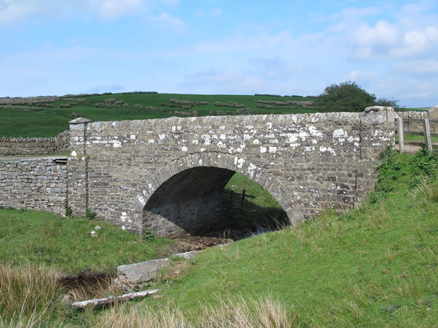
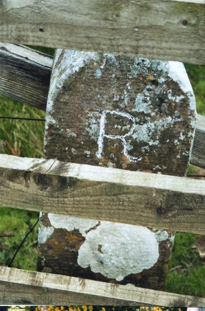
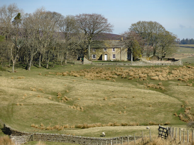
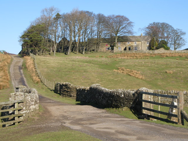
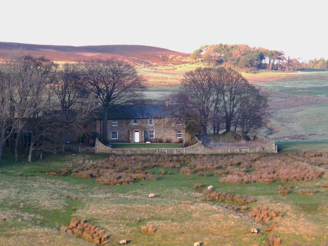
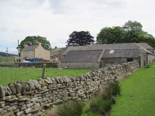
Harwood Shield is a farm / hamlet in Northumberland, located about 8 miles south of Hexham and 3½ miles west of Blanchland. The farmhouse here dates from the early 19th century and some of the farm buildings from the 18th century; these are listed on the National Heritage List for England. There are earthworks from an earlier farmstead and ridge and furrow cultivation, indicative of a medieval settlement here. To the south of the farm is a bridge over Devil's water and a 19th century milestone. Harwood Shield is part of Hexhamshire Civil Parish.

from https://historicengland.org.u…
HARWOOD SHIELD FARMHOUSE - List Entry
- "House, early C19 probably incorporating earlier fabric. Stone, largely rendered; roof of large blue slates. South elevation 2 storeys, 4 bays, irregular. 3-bay left part has central porch with cut …
Added by
Simon Cotterill
from https://historicengland.org.u…
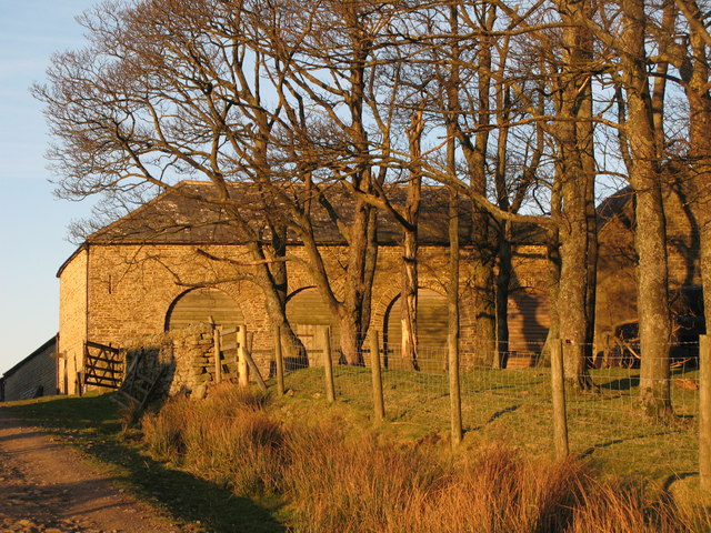
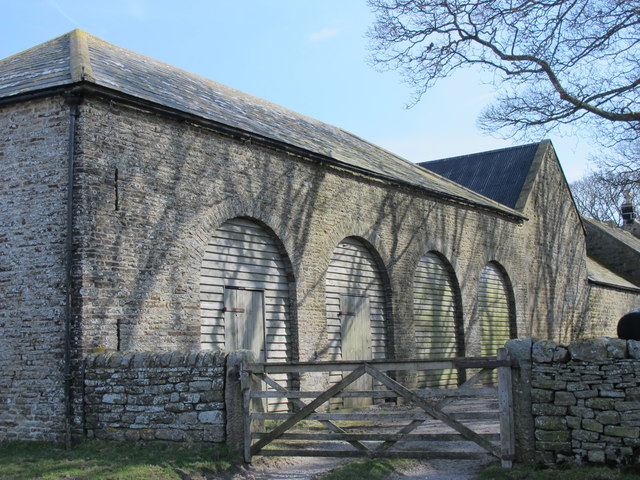
FARMBUILDINGS TO WEST OF HARWOOD SHIELD FARMHOUSE - List Entry
- "Farmbuildings, late C18/early C19, of several builds. Coursed roughly-cut stone with dressings, tooled-and-margined in north range. Ranges around yard open at north-east corner, with link range at south-east corner to …
Added by
Simon Cotterill

from https://keystothepast.info/se…
Harwood Shield medieval or post-medieval farmstead (Hexhamshire and District)
- "Lidar survey has identified a complex of earthworks covering an area of about 115m by 100m. They are indicative of a group of enclosures, field banks, paddocks and structures, which …
Added by
Simon Cotterill

from https://historicengland.org.u…
HARWOOD SHIELD FARMHOUSE - List Entry
- "House, early C19 probably incorporating earlier fabric. Stone, largely rendered; roof of large blue slates. South elevation 2 storeys, 4 bays, irregular. 3-bay left part has central porch with cut …
Added by
Simon Cotterill
from https://historicengland.org.u…
FARMBUILDINGS TO WEST OF HARWOOD SHIELD FARMHOUSE - List Entry
- "Farmbuildings, late C18/early C19, of several builds. Coursed roughly-cut stone with dressings, tooled-and-margined in north range. Ranges around yard open at north-east corner, with link range at south-east corner to …
Added by
Simon Cotterill
from https://keystothepast.info/se…
Harwood Shield medieval or post-medieval farmstead (Hexhamshire and District)
- "Lidar survey has identified a complex of earthworks covering an area of about 115m by 100m. They are indicative of a group of enclosures, field banks, paddocks and structures, which …
Added by
Simon Cotterill