Topics > Places > Shrunken Medieval Village
Shrunken Medieval Village
These are the sites of medieval villages, which reduced in size, but typically still have over 3 inhabited dwellings (f there are fewer than three inhabited houses the convention is to class the site as a Deserted Medieval Village). There may not be any visible remains of the medieval village.
"Although the sites of many of these villages have been occupied continuously down to the present day, many have declined considerably in size and are now occupied by farmsteads or hamlets. This decline may have taken place gradually throughout the lifetime of the village or more rapidly, particularly during the 14th and 15th centuries when many other villages were wholly deserted. The reasons for diminishing size were varied but often reflected declining economic viability or population fluctuations as a result of widespread epidemics such as the Black Death. As a consequence of their decline, large parts of these villages are frequently undisturbed by later occupation and contain well-preserved archaeological deposits. Over 3000 shrunken medieval villages are recorded nationally." (Historic Englnd)
Co-Curate Page
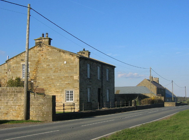
West Edington
- Overview Map Street View West Edington is a farm and hamlet in Northumberland, located on the B6524 road, about 4 miles south-west of Morpeth, and a mile and a half …
Co-Curate Page
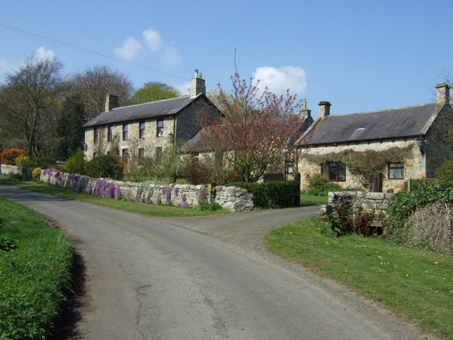
Eachwick
- Overview Map Street View Eachwick is a hamlet in Northumberland, located about 3 miles east of Ponteland and 9 miles north-west of Newcastle. In medieval times, there was substantial village …

Co-Curate Page
East Thickley
- Overview Map East Thickley is on the eastern edge of Shildon in County Durham. There is a farm and former quarry here. The farm is the site of a deserted …
Co-Curate Page
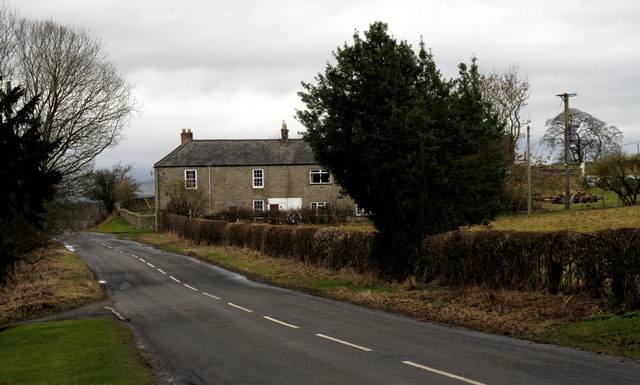
Greenleighton (Rothley)
- Overview Map Street View GREENLEIGHTON, a township, in the parish of Hartburn, union of Rothbury, N.E. division of Tindale ward, S. division of Northumberland, 7¾ miles (S.S.W.) from Rothbury; containing …
Co-Curate Page
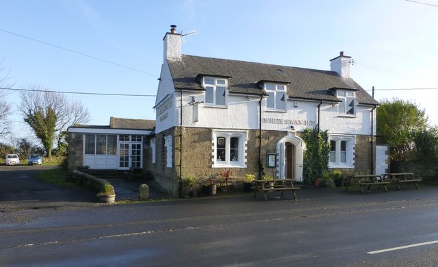
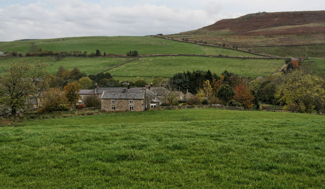
Warenford
- Overview Map Street View Warenford is a village by the Waren Burn in Northumberland, just over 3 miles south of Belford and 10 miles north-west of Alnwick. The village of Warenford …
Co-Curate Page
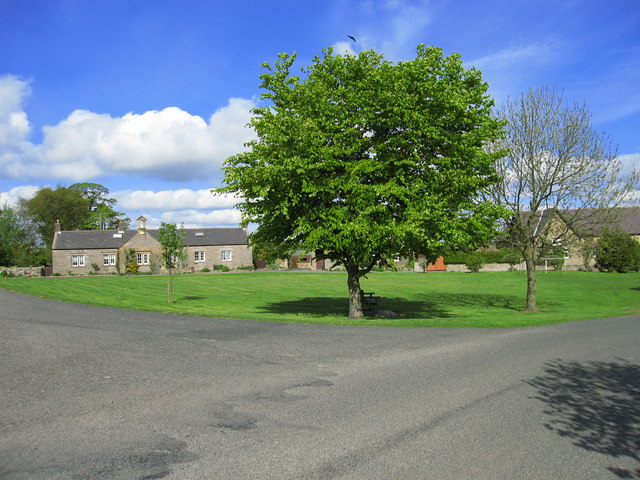
East Woodburn
- Overview Map Street View East Woodburn is a village in Northumberland, located about 14 miles north of Hexham and 4½ miles north-east of Bellingham. The settlement is situated by Lisles Burn, …
Co-Curate Page
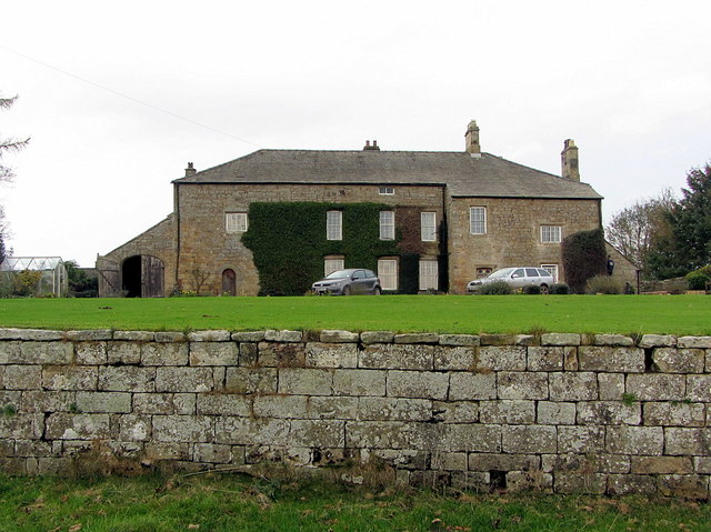
Rennington
- Overview Map Street View Rennington is a village in Northumberland, located about 4 miles north-east of Alnwick and 3 miles south-west of Embleton. The village includes the Horseshoe Inn, the Village …
Co-Curate Page
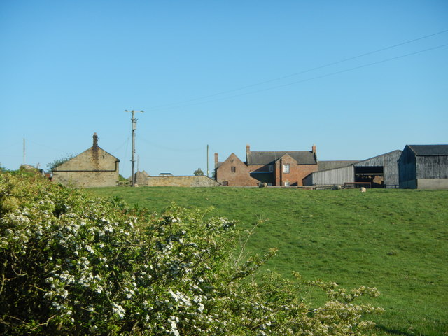
East Shafto
- SHAFTO, EAST, a township, in the parish of Hartburn, union of Castle ward, N. E. division of Tindale ward, S. division of Northumberland, 11¾ miles (W.S.W.) from Morpeth; containing 38 …
Co-Curate Page
Middle Duddo
- Overview Map Street View Middle Duddo is a farm in Northumberland, located about 2 miles east of the village of Stannington. It is situated near Duddo Burn. There was once a …
Co-Curate Page
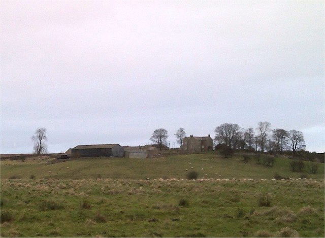
Hoppen, Northumberland
- Overview Map Hoppen is a hamlet in Northumberland, located about 3 miles south-west of Bamburgh and ½ mile north-east of the village of Lucker. Winlaw Burn flows by Hoppen Bank …
Co-Curate Page
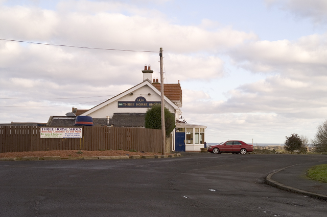
Horton (Blyth)
- Overview Map Street View Horton is located to the west of Blyth, close to East Hartford. Today, it consists of High Horton Farm, St Mary's Church, The Three Horseshoes public house …
Co-Curate Page
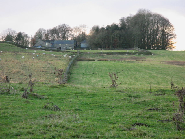
Hawick, near Kirkwhelpington
- Overview Map Hawick is located near Sweethope Loughs, about 2 miles north-west of the village of Great Bavington and 2 miles south-west of Kirkwhelpington in Northumberland. Today this is essentially …
Co-Curate Page
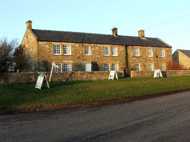
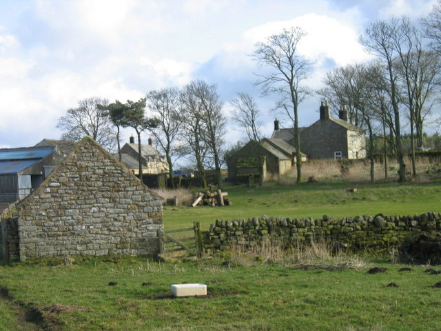
Berwick Hill, nr Ponetland
- Overview Map Street View Berwick Hil is a hamlet in Northumberland, located about 2 miles nort-east of Pontetland. In medieval times there was a larger settlment here; the village of …
Co-Curate Page
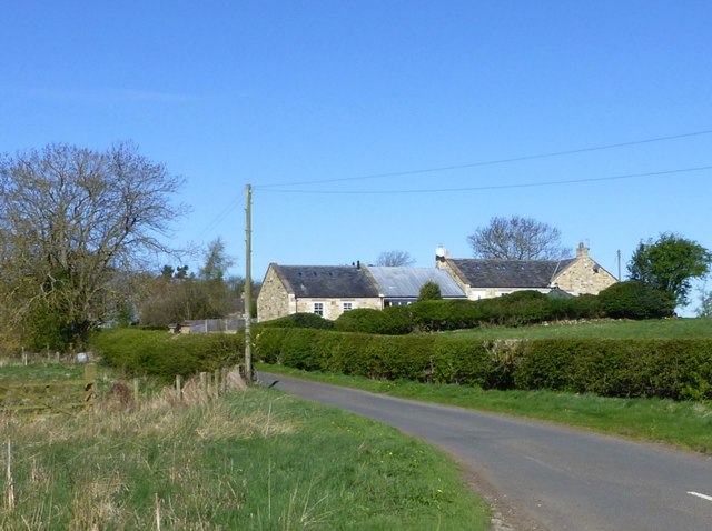
Sweethope
- Overview About Sweethope Loughs Map Sweethope was recorded as a manor and village in the 13th century, once with defences, and 6 houses noted in the 17th century.[1] Sweethope was …
Co-Curate Page
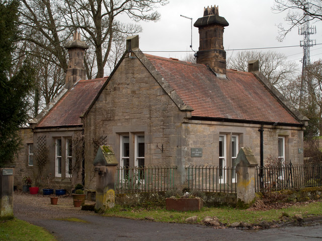
Shilvington
- Overview Map Street View Shilvington is a hamlet in Northumberland, located by Shilvington Burn, about 4 miles south-west of Morpeth. This was the site of a larger village in medieval …
Co-Curate Page
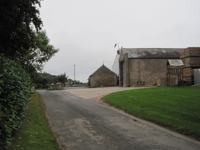
Newton Hall, Stocksfield
- Overview About Newton Hall Map Street View NEWTON-HALL, a township, in the parish of Bywell St. Peter, union of Hexham, E. division of Tindale ward, S. division of Northumberland, 7¾ …
Co-Curate Page
Low Buston
- Overview Map Street View Low Buston is a hamlet in Northumberland, located about a mile and a half north-west of Warkworth and 2 miles south-east of Shilbottle. The hamlet today …
Co-Curate Page
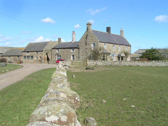
Newstead, Northumberland
- Overview Map Street View Newstead is a hamlet in Northumberland, located about 1½ miles south-west of the village of Newham and 4½ miles south-east of Belford. Newstead is thought to …
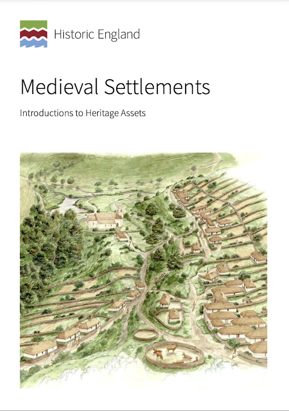
from https://historicengland.org.u…
Medieval Settlements - Introductions to Heritage Assets
- Historic England (2018) Medieval Settlements: Introductions to Heritage Assets. Swindon. Historic England. "....This IHA provides an introduction to medieval settlements, ranging from individual
farms, through hamlets of a few households, …
Added by
Simon Cotterill
Co-Curate Page
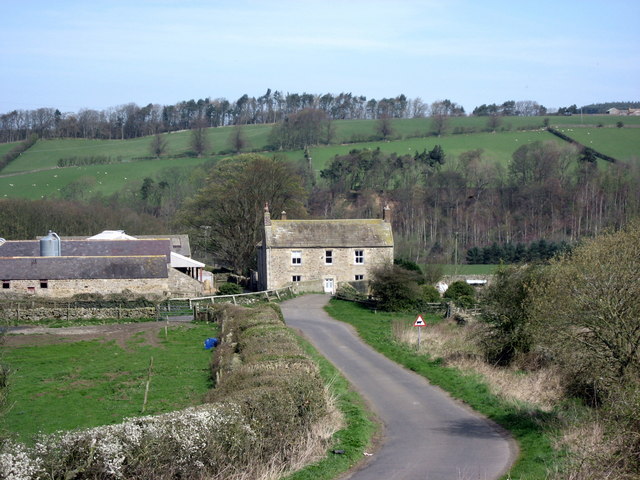
Morralee, Northumberland
- Overview Map Street View Morralee is located on the south banks of the River South Tyne, a short distance east of the river's confluence with the River Allen, and about …
Co-Curate Page
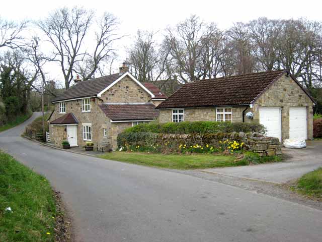
Newlands, near Ebchester
- Overview Map Street View Newlands is a hamlet in Northumberland, located near the border with County Durham and about ¾mile west of Ebchester and 1½mile north of Shotley Bridge. A …
Co-Curate Page
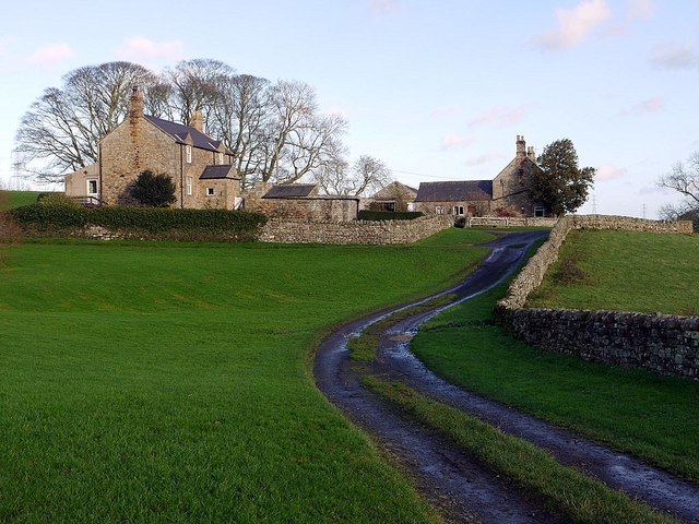
Halton Medieval Settlement
- In Medieval times, there was a larger settlement at Halton (classed as a shrunken Medieval village). In the 13th century the manor and lordship of Halton was held in the …


Co-Curate Page
West Edington
- Overview Map Street View West Edington is a farm and hamlet in Northumberland, located on the B6524 road, about 4 miles south-west of Morpeth, and a mile and a half …

Co-Curate Page
Eachwick
- Overview Map Street View Eachwick is a hamlet in Northumberland, located about 3 miles east of Ponteland and 9 miles north-west of Newcastle. In medieval times, there was substantial village …

Co-Curate Page
East Thickley
- Overview Map East Thickley is on the eastern edge of Shildon in County Durham. There is a farm and former quarry here. The farm is the site of a deserted …

Co-Curate Page
Greenleighton (Rothley)
- Overview Map Street View GREENLEIGHTON, a township, in the parish of Hartburn, union of Rothbury, N.E. division of Tindale ward, S. division of Northumberland, 7¾ miles (S.S.W.) from Rothbury; containing …

Co-Curate Page
Warenford
- Overview Map Street View Warenford is a village by the Waren Burn in Northumberland, just over 3 miles south of Belford and 10 miles north-west of Alnwick. The village of Warenford …

Co-Curate Page
East Woodburn
- Overview Map Street View East Woodburn is a village in Northumberland, located about 14 miles north of Hexham and 4½ miles north-east of Bellingham. The settlement is situated by Lisles Burn, …

Co-Curate Page
Rennington
- Overview Map Street View Rennington is a village in Northumberland, located about 4 miles north-east of Alnwick and 3 miles south-west of Embleton. The village includes the Horseshoe Inn, the Village …

Co-Curate Page
East Shafto
- SHAFTO, EAST, a township, in the parish of Hartburn, union of Castle ward, N. E. division of Tindale ward, S. division of Northumberland, 11¾ miles (W.S.W.) from Morpeth; containing 38 …

Co-Curate Page
Middle Duddo
- Overview Map Street View Middle Duddo is a farm in Northumberland, located about 2 miles east of the village of Stannington. It is situated near Duddo Burn. There was once a …

Co-Curate Page
Hoppen, Northumberland
- Overview Map Hoppen is a hamlet in Northumberland, located about 3 miles south-west of Bamburgh and ½ mile north-east of the village of Lucker. Winlaw Burn flows by Hoppen Bank …

Co-Curate Page
Horton (Blyth)
- Overview Map Street View Horton is located to the west of Blyth, close to East Hartford. Today, it consists of High Horton Farm, St Mary's Church, The Three Horseshoes public house …

Co-Curate Page
Hawick, near Kirkwhelpington
- Overview Map Hawick is located near Sweethope Loughs, about 2 miles north-west of the village of Great Bavington and 2 miles south-west of Kirkwhelpington in Northumberland. Today this is essentially …

Co-Curate Page
Berwick Hill, nr Ponetland
- Overview Map Street View Berwick Hil is a hamlet in Northumberland, located about 2 miles nort-east of Pontetland. In medieval times there was a larger settlment here; the village of …

Co-Curate Page
Sweethope
- Overview About Sweethope Loughs Map Sweethope was recorded as a manor and village in the 13th century, once with defences, and 6 houses noted in the 17th century.[1] Sweethope was …

Co-Curate Page
Shilvington
- Overview Map Street View Shilvington is a hamlet in Northumberland, located by Shilvington Burn, about 4 miles south-west of Morpeth. This was the site of a larger village in medieval …

Co-Curate Page
Newton Hall, Stocksfield
- Overview About Newton Hall Map Street View NEWTON-HALL, a township, in the parish of Bywell St. Peter, union of Hexham, E. division of Tindale ward, S. division of Northumberland, 7¾ …

Co-Curate Page
Low Buston
- Overview Map Street View Low Buston is a hamlet in Northumberland, located about a mile and a half north-west of Warkworth and 2 miles south-east of Shilbottle. The hamlet today …

Co-Curate Page
Newstead, Northumberland
- Overview Map Street View Newstead is a hamlet in Northumberland, located about 1½ miles south-west of the village of Newham and 4½ miles south-east of Belford. Newstead is thought to …

from https://historicengland.org.u…
Medieval Settlements - Introductions to Heritage Assets
- Historic England (2018) Medieval Settlements: Introductions to Heritage Assets. Swindon. Historic England. "....This IHA provides an introduction to medieval settlements, ranging from individual
farms, through hamlets of a few households, …
Added by
Simon Cotterill

Co-Curate Page
Morralee, Northumberland
- Overview Map Street View Morralee is located on the south banks of the River South Tyne, a short distance east of the river's confluence with the River Allen, and about …

Co-Curate Page
Newlands, near Ebchester
- Overview Map Street View Newlands is a hamlet in Northumberland, located near the border with County Durham and about ¾mile west of Ebchester and 1½mile north of Shotley Bridge. A …

