Topics > Northumberland > Hartington

from https://keystothepast.info/se…
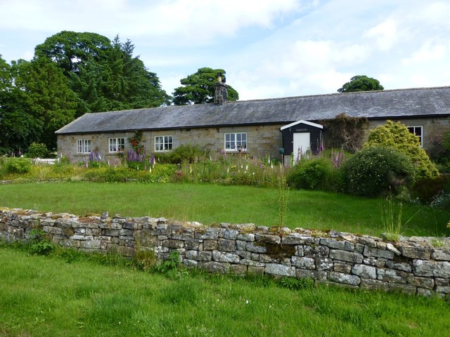
Hartington shrunken village (Rothley with Hollinghill)
- "To the south Tut Hill and Delf Burn farms are earthworks that show that Hartington was once of greater extent. These earthworks take the form of irregular platforms and garths. …
Added by
Simon Cotterill

Co-Curate Page
Hartburn Parish, 1855
- Extract from: History, Topography, and Directory of Northumberland...Whellan, William, & Co, 1855. HARTBURN PARISH HARTBURN, a parish partly in the west division of Morpeth Ward, and partly in the …

from https://keystothepast.info/se…
Hartington shrunken village (Rothley with Hollinghill)
- "To the south Tut Hill and Delf Burn farms are earthworks that show that Hartington was once of greater extent. These earthworks take the form of irregular platforms and garths. …
Added by
Simon Cotterill