Topics > Tees Valley > Redcar and Cleveland
Redcar and Cleveland
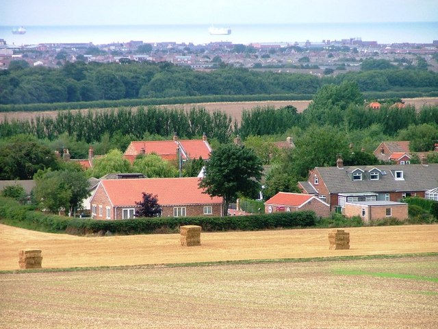
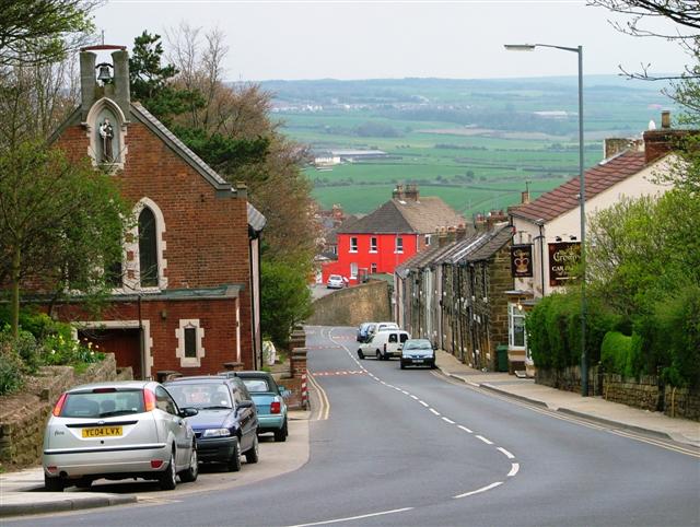
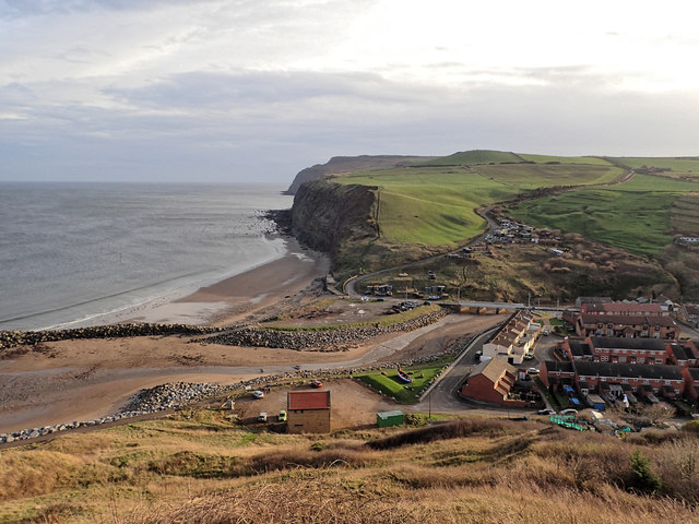
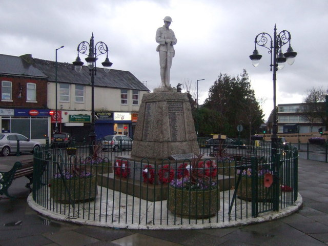
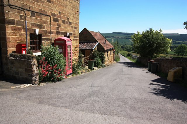
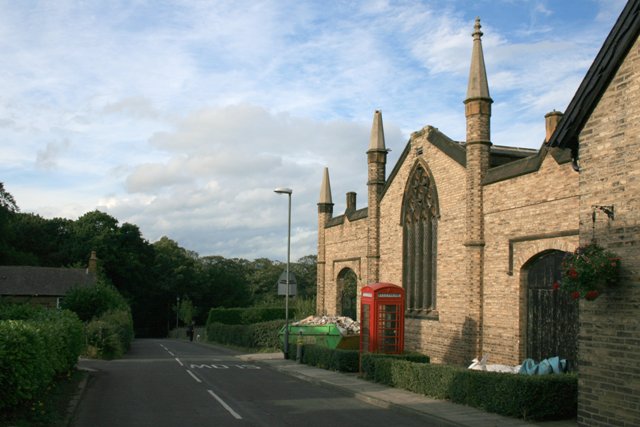
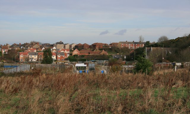
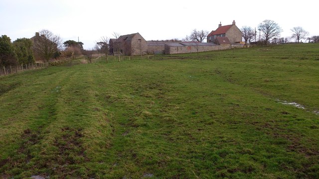
The borough of Redcar & Cleveland is a unitary authority area in the North East of England within the ceremonial county of North Yorkshire. The main settlements consists of Redcar, Saltburn-by-the-Sea, Guisborough, and small towns such as Brotton, Eston, Skelton and Loftus. It had a resident population of 135,200 in 2011.
It is represented in Parliament by Jacob Young (Conservative Party) for the Redcar constituency and by Simon Clarke (Conservative Party) for the Middlesbrough South and East Cleveland constituency. The borough is a member of the Tees Valley city region.
The borough borders the districts of Scarborough and Hambleton, and the unitary authority areas of Stockton-on-Tees, Middlesbrough and Hartlepool.
History
The district was created in 1974 as the borough of Langbaurgh, one of four districts of the new non-metropolitan county of Cleveland. It was formed from the Coatham, Kirkleatham, Ormesby, Redcar and South Bank wards of the County Borough of Teesside, along with Guisborough, Loftus, Saltburn and Marske-by-the-Sea, Eston Grange and Skelton and Brotton urban districts, from the North Riding of Yorkshire. The borough was named after the ancient Langbaurgh wapentake of Yorkshire. On 1 January 1988 the borough was renamed Langbaurgh-on-Tees.
Cleveland County was abolished on 1 April 1996, with its districts becoming unitary authority areas. At this time Langbaurgh-on-Tees was renamed Redcar and Cleveland. Cleveland County was a two-tier local authority, with the county council being superior to its four districts, of which Langbaurgh-on-Tees was one. Upon becoming a unitary authority, Langbaurgh-on-Tees (renamed Redcar and Cleveland) acquired all the full rights and duties as a county, whilst retaining the same boundaries as before.
Civic Centre
Redcar and Cleveland Civic Centre is in the Leisure and Community Heart, in Redcar. The centre was opened in 2014 at a cost of £31 million. It contains civic and business facilities including a council chamber, mayor’s parlour, register services, meeting rooms, 44 business units, as well as sport and leisure facilities.
It replaces the previous civic centre in Teesville, which was demolished in 2012. Civic facilities were relocated, Inspire 2 Learn, formerly the Eston City Learning Centre, also in Teesville. The Mayor's office was temporarily relocated to Kirkleatham Museum, before also moving to Redcar. The Council also has offices in Redcar at Kirkleatham Street and in Guisborough.
The old town hall closure also provided an environmental boost as it was the authority's worst-performing building for carbon dioxide emissions.
Economy
This is a chart of trend of regional gross 'value added' of South Teesside at current basic prices by the Office for National Statistics with figures in millions of British Pounds Sterling.
| Year | Regional Gross Value Added | Agriculture | Industry | Services |
|---|---|---|---|---|
| 1995 | 2,428 | 9 | 926 | 1,493 |
| 2000 | 2,919 | 11 | 940 | 1,967 |
| 2003 | 3,167 | 10 | 970 | 2,187 |
| 2006 | 3,982 | 11 | 997 | 4,187 |
includes hunting and forestry
includes energy and construction
includes financial intermediation services indirectly measured
Components may not sum to totals due to rounding
Local Industry
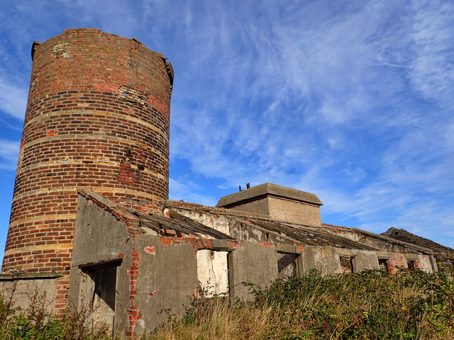
The main industry within the greater district of the town of Redcar is the Chemical Industry located close to Wilton village on the Chemical Industry Park known internationally as Wilton. The chemical companies are all members of the Northeast of England Process Industry Cluster (NEPIC).
The Wilton chemical site is owned by Singaporean utility company Sembcorp and companies operating there include SABIC who have recently built the world's largest low-density polyethylene plant (LDPE) and still operate an ethylene cracker. Lotte Chemicals are expanding both PTA and PET production. Huntsman manufacture polyurethane intermediates and Ensus have built Europe's largest bioethanol facility. Biffa Polymers now operate a polymer recycling plant that handles up to 30% of the UKs plastic milk bottles. While in support of Sembcorp, who built the UK's first wood-fired power station (Wilton 10), UK Wood Recycling Limited have a significant facility on the site providing waste wood to fuel Wilton 10.
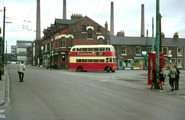
The Teesside Steelworks operated Europe's second largest blast furnace. The majority of the steelworks (including the Redcar blast furnace, Redcar and South Bank coke ovens and the BOS plant at Lackenby) closed in 2015.
Social housing
Coast and Country Housing Limited
Coast and Country is the largest social housing provider within Redcar and Cleveland. It took over the ownership and management of homes from Redcar and Cleveland Borough Council in July 2002. In addition to providing core housing services the company has also invested in independent living services, including the development of a new Telecare service in partnership with the Borough Council.
Local nature reserves
The council maintains a number of Local nature reserves. These are Guisborough Branch Walkway, Flatts Lane Woodland Country Park and Rosecroft Wood, Loftus Wood, Whitecliff Wood, Clarksons Wood, Errington Wood and Eston Moor.
Politics
Youth Parliament
Redcar & Cleveland Council promotes the UK Youth Parliament, a national charity which promotes democratic debate amongst its 11 - 18-year-old members.
Town twinning
Redcar and Cleveland is twinned with:
- Troisdorf, Germany, since 1990
Visit the page: Redcar and Cleveland for references and further details. You can contribute to this article on Wikipedia.
Co-Curate Page
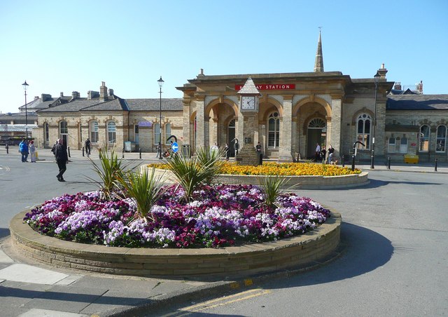
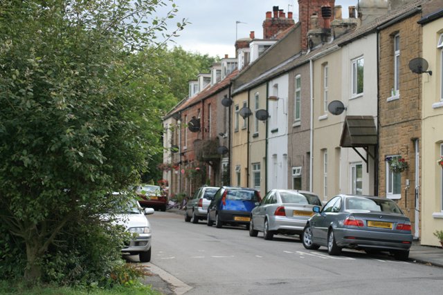
Redcar
- Overview About Redcar Map Street View Redcar is one of the largest towns in Teesside. However, at the beginning of the 19th century Redcar was a small fishing village with …
Co-Curate Page
Guisborough
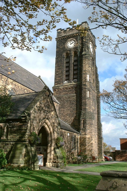
- Overview About Guisborough Map Street View Guisborough is a market town in the unitary authority of Redcar and Cleveland and the ceremonial county of North Yorkshire. Guisborough is a market …
Co-Curate Page
Loftus
- Overview About Loftus Map Street View Loftus is a town and civil parish located in the borough of Redcar and Cleveland in the North East of England. The town …
Co-Curate Page
Saltburn-by-the-Sea
- Overview About Saltburn Map Street View Saltburn-by-the-Sea is a costal town in Redcar and Cleveland, historically part of the North Riding of Yorkshire. Saltburn is situated by Skelton Beck and …
Co-Curate Page
Yearby
- Overview About Yearby Map Street View Yearby is a village in Redcar and Cleveland, located about half a mile south-east of Kirkleatham and just over 2 miles west of Markse-by-the-Sea. Yearby is …
Co-Curate Page
Marske-by-the-Sea
- Overview About Map Street View Marske-by-the-Sea is a village in the unitary authority of Redcar and Cleveland and the ceremonial county of North Yorkshire, England. It is located on …
Co-Curate Page
South Bank
- Overview About South Bank Map Street View South Bank is a suburb of Middlesbrough, in north east England, on the south bank of the River Tees, and is from …
Co-Curate Page
Skelton-in-Cleveland
- Overview About Skelton-in-Cleveland Map Street View Skelton-in-Cleveland Skelton-in-Cleveland is a small town in the civil parish of Skelton and Brotton in North Yorkshire, England. The local council, a unitary authority, …
Co-Curate Page
Brotton
- Overview About Brotton Map Street View Brotton is a village in the parish of Skelton and Brotton in North Yorkshire, England. The local council, a unitary authority, is Redcar …
Co-Curate Page
Carlin How
- Overview Map Street View Carlin How is a village in North Yorkshire withing the unitary authoritary of Redcar and Cleveland. The village is about half a mile from the coast …
Co-Curate Page
Skinningrove
- Overview About Skinningrove Map Street View Skinningrove is a coastal village located two and a half miles South East of Saltburn-by-the-Sea, in North Yorkshire and within the unitary authority of Redcar …
Co-Curate Page
Dormanstown
- Overview About Dormanstown Map Street View Dormanstown is a suburb of Redcar, originally built by the Dorman, Long and Co. Ltd. to provide housing for the company's iron and steel …
Co-Curate Page
Dunsdale
- Overview About Dunsdale Map Street View Dunsdale is a village in the borough of Redcar and Cleveland, located on the B1269 road, about a mile and a half north of …
Co-Curate Page
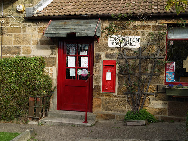
Easington, Redcar And Cleveland
- Overview About Easington Map Street View Easington is a village in the unitary authority of Redcar and Cleveland and the ceremonial county of North Yorkshire, England. Historically part of …
Co-Curate Page
Eston
- Overview About Eston Map Street View Following the discovery of ironstone in the Eston Hills in 1841 the settlement of Eston became a thriving mining town. Ironstone mines were established …
Co-Curate Page
Kilton, Redcar and Cleveland
- Overview About Kilton Map Street View Kilton is a village in the borough of Redcar and Cleveland and the ceremonial county of North Yorkshire, England. It is part of …
Co-Curate Page
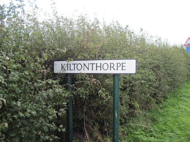
Kilton Thorpe
- Overview About Kilton Thorpe Map Street View Kilton Thorpe is a village in the borough of Redcar and Cleveland and the ceremonial county of North Yorkshire, England. Noted for …
Co-Curate Page
Kirkleatham
- Overview About Kirkleatham Map Street View Near Redcar Kirkleatham is a village in the unitary authority of Redcar and Cleveland and the ceremonial county of North Yorkshire, England. It is …
Co-Curate Page
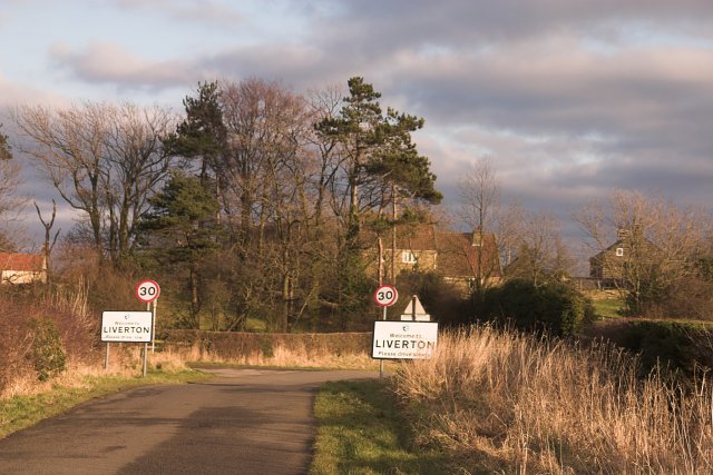
Liverton Mines
- Liverton Mines is a village in Redcar and Cleveland, located a short distance to the west of Loftus. The settlement grew in association with Livertonn Ironstone Mine, which was established …
Co-Curate Page
Liverton, Redcar and Cleveland
- Overview About Liverton Map Street View Liverton is a village in Redcar and Cleveland, located 1.5 miles south of Loftus and about 6 miles east of Guisborough. St Michael's Church …
Co-Curate Page
Normanby
- Overview About Normanby Map Street View Normanby is an area in Redcar and Cleveland joining with Eston to the west and Ormesby to the east. NORMANBY-IN-CLEVELAND, a township, in the …
Co-Curate Page
Ormesby
- Overview About Ormesby Map Street View Ormesby is a former village, and now suburb, spanning the Middlesbrough and Redcar and Cleveland unitary authorities in north-east England, within the ceremonial …
Co-Curate Page
Pinchinthorpe
- Overview About Pinchinthorpe Map Street View Pinchinthorpe is a hamlet about half a mile south-west of Guisborough in Redcar and Cleveland. Historically it was part of the North Riding of …
Co-Curate Page
Stanghow
- Overview About Stanhow Map Street View Stanghow is a village in the Borough of Redcar and Cleveland, located about 4 miles east of Guisbrough and half a mile south of …

Co-Curate Page
Tocketts
- The manor of Tocketts is recorded in the Domesday Book of 1086, in which it was named as Tosceton. Tocketts Mill, fields, woodland and the valley of Tocketts Beck were purchased by …
Co-Curate Page
Upleatham
- Overview About Upleatham Map Street View Upleatham is a village in Redcar and Cleveland, located about 2 miles north-east of Guisbrough. Upleatham is served by Guisbrough Town Coucil. Upleatham is …
Co-Curate Page
Wilton, Redcar and Cleveland
- Overview About Wilton Map Street View Wilton is a small village in the unitary authority of Redcar and Cleveland and the ceremonial county of North Yorkshire, England. As the …
Co-Curate Page
Gerrick, Redcar and Cleveland
- Overview Map Street View Gerrick (aka Girreck) is a distributed hamlet in Redcar and Cleveland, located about 1½ miles south-east of Moorsholm and 3½ miles south of Loftus. Historically, Girreck …

Co-Curate Page
Staithes (Cowbar)
- Overview Map Street View (Cowbar Bank) Staithes is a costal village in the North York Moors National Park, located about 8 miles north-west of Whitby and 11 miles south-east of …

Co-Curate Page
Redcar
- Overview About Redcar Map Street View Redcar is one of the largest towns in Teesside. However, at the beginning of the 19th century Redcar was a small fishing village with …
Co-Curate Page
Guisborough
- Overview About Guisborough Map Street View Guisborough is a market town in the unitary authority of Redcar and Cleveland and the ceremonial county of North Yorkshire. Guisborough is a market …
Co-Curate Page
Loftus
- Overview About Loftus Map Street View Loftus is a town and civil parish located in the borough of Redcar and Cleveland in the North East of England. The town …
Co-Curate Page
Saltburn-by-the-Sea
- Overview About Saltburn Map Street View Saltburn-by-the-Sea is a costal town in Redcar and Cleveland, historically part of the North Riding of Yorkshire. Saltburn is situated by Skelton Beck and …
Co-Curate Page
Yearby
- Overview About Yearby Map Street View Yearby is a village in Redcar and Cleveland, located about half a mile south-east of Kirkleatham and just over 2 miles west of Markse-by-the-Sea. Yearby is …
Co-Curate Page
Marske-by-the-Sea
- Overview About Map Street View Marske-by-the-Sea is a village in the unitary authority of Redcar and Cleveland and the ceremonial county of North Yorkshire, England. It is located on …
Co-Curate Page
South Bank
- Overview About South Bank Map Street View South Bank is a suburb of Middlesbrough, in north east England, on the south bank of the River Tees, and is from …
Co-Curate Page
Skelton-in-Cleveland
- Overview About Skelton-in-Cleveland Map Street View Skelton-in-Cleveland Skelton-in-Cleveland is a small town in the civil parish of Skelton and Brotton in North Yorkshire, England. The local council, a unitary authority, …
Co-Curate Page
Brotton
- Overview About Brotton Map Street View Brotton is a village in the parish of Skelton and Brotton in North Yorkshire, England. The local council, a unitary authority, is Redcar …
Co-Curate Page
Carlin How
- Overview Map Street View Carlin How is a village in North Yorkshire withing the unitary authoritary of Redcar and Cleveland. The village is about half a mile from the coast …
Co-Curate Page
Skinningrove
- Overview About Skinningrove Map Street View Skinningrove is a coastal village located two and a half miles South East of Saltburn-by-the-Sea, in North Yorkshire and within the unitary authority of Redcar …
Co-Curate Page
Dormanstown
- Overview About Dormanstown Map Street View Dormanstown is a suburb of Redcar, originally built by the Dorman, Long and Co. Ltd. to provide housing for the company's iron and steel …
Co-Curate Page
Dunsdale
- Overview About Dunsdale Map Street View Dunsdale is a village in the borough of Redcar and Cleveland, located on the B1269 road, about a mile and a half north of …
Co-Curate Page
Easington, Redcar And Cleveland
- Overview About Easington Map Street View Easington is a village in the unitary authority of Redcar and Cleveland and the ceremonial county of North Yorkshire, England. Historically part of …
Co-Curate Page
Eston
- Overview About Eston Map Street View Following the discovery of ironstone in the Eston Hills in 1841 the settlement of Eston became a thriving mining town. Ironstone mines were established …
Co-Curate Page
Kilton, Redcar and Cleveland
- Overview About Kilton Map Street View Kilton is a village in the borough of Redcar and Cleveland and the ceremonial county of North Yorkshire, England. It is part of …
Co-Curate Page
Kilton Thorpe
- Overview About Kilton Thorpe Map Street View Kilton Thorpe is a village in the borough of Redcar and Cleveland and the ceremonial county of North Yorkshire, England. Noted for …
Co-Curate Page
Kirkleatham
- Overview About Kirkleatham Map Street View Near Redcar Kirkleatham is a village in the unitary authority of Redcar and Cleveland and the ceremonial county of North Yorkshire, England. It is …
Co-Curate Page
Liverton Mines
- Liverton Mines is a village in Redcar and Cleveland, located a short distance to the west of Loftus. The settlement grew in association with Livertonn Ironstone Mine, which was established …
Co-Curate Page
Liverton, Redcar and Cleveland
- Overview About Liverton Map Street View Liverton is a village in Redcar and Cleveland, located 1.5 miles south of Loftus and about 6 miles east of Guisborough. St Michael's Church …
Co-Curate Page
Normanby
- Overview About Normanby Map Street View Normanby is an area in Redcar and Cleveland joining with Eston to the west and Ormesby to the east. NORMANBY-IN-CLEVELAND, a township, in the …
Co-Curate Page
Ormesby
- Overview About Ormesby Map Street View Ormesby is a former village, and now suburb, spanning the Middlesbrough and Redcar and Cleveland unitary authorities in north-east England, within the ceremonial …
Co-Curate Page
Pinchinthorpe
- Overview About Pinchinthorpe Map Street View Pinchinthorpe is a hamlet about half a mile south-west of Guisborough in Redcar and Cleveland. Historically it was part of the North Riding of …
Co-Curate Page
Stanghow
- Overview About Stanhow Map Street View Stanghow is a village in the Borough of Redcar and Cleveland, located about 4 miles east of Guisbrough and half a mile south of …
Co-Curate Page
Tocketts
- The manor of Tocketts is recorded in the Domesday Book of 1086, in which it was named as Tosceton. Tocketts Mill, fields, woodland and the valley of Tocketts Beck were purchased by …
Co-Curate Page
Upleatham
- Overview About Upleatham Map Street View Upleatham is a village in Redcar and Cleveland, located about 2 miles north-east of Guisbrough. Upleatham is served by Guisbrough Town Coucil. Upleatham is …
Co-Curate Page
Wilton, Redcar and Cleveland
- Overview About Wilton Map Street View Wilton is a small village in the unitary authority of Redcar and Cleveland and the ceremonial county of North Yorkshire, England. As the …
Co-Curate Page
Gerrick, Redcar and Cleveland
- Overview Map Street View Gerrick (aka Girreck) is a distributed hamlet in Redcar and Cleveland, located about 1½ miles south-east of Moorsholm and 3½ miles south of Loftus. Historically, Girreck …


