Topics > Tees Valley > Brotton
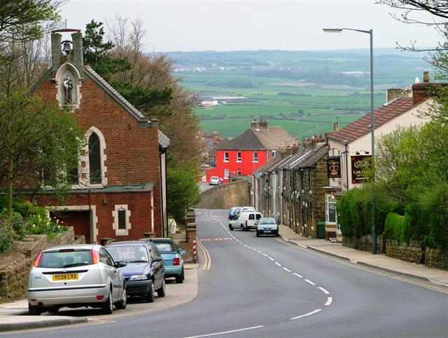
Brotton


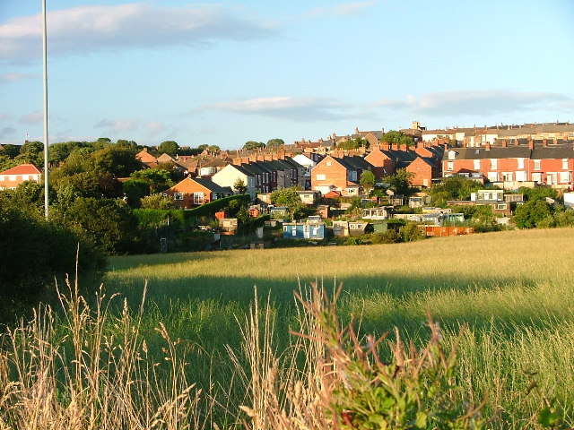
Brotton is a village in the parish of Skelton and Brotton in North Yorkshire, England. The local council, a unitary authority, is Redcar and Cleveland. It is situated approximately south-east of Saltburn-by-the-Sea, east of Middlesbrough and north-west of Whitby. In 2002, the village had a population of 5,384.

History

The name of the village (known in medieval times as 'Broctune') literally means, "town on the brow of a hill", and is listed in the Domesday Book. The hill in question, Warsett Hill, tops the large Huntcliffe which was the site of one of the many Roman signal stations built along the east coast to defend against Anglo-Saxon attack. Brotton was one of a number of manors granted by William the Conqueror to Robert de Brus, Lord of Skelton. Over recent years Brotton has become somewhat isolated because of a bypass which was opened in 1998 between the villages of Skelton-in-Cleveland and Carlin How.

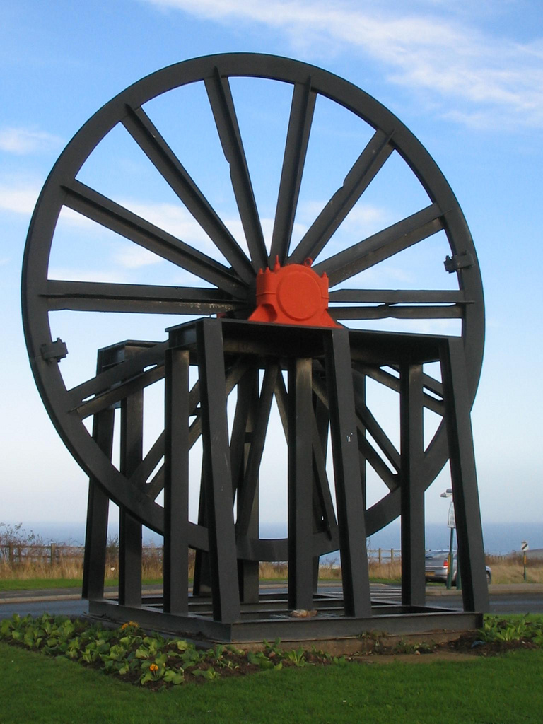
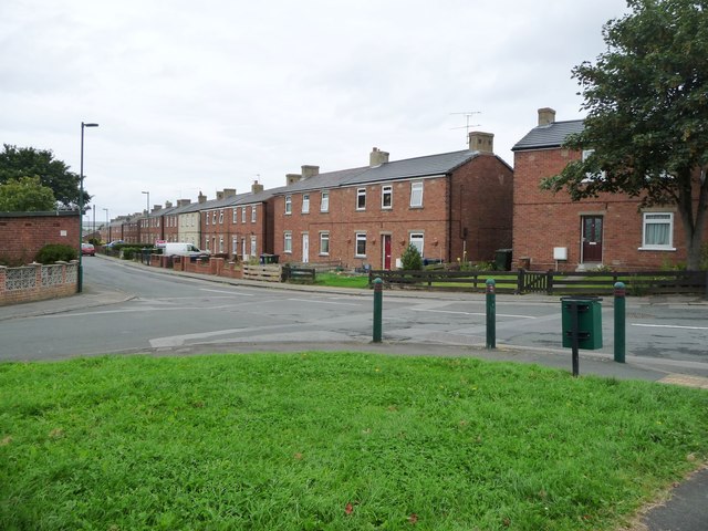
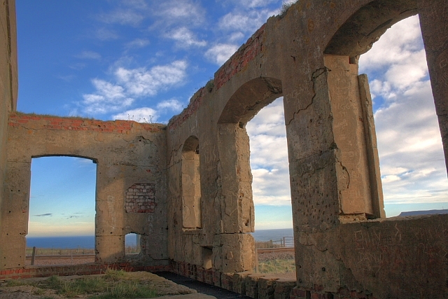
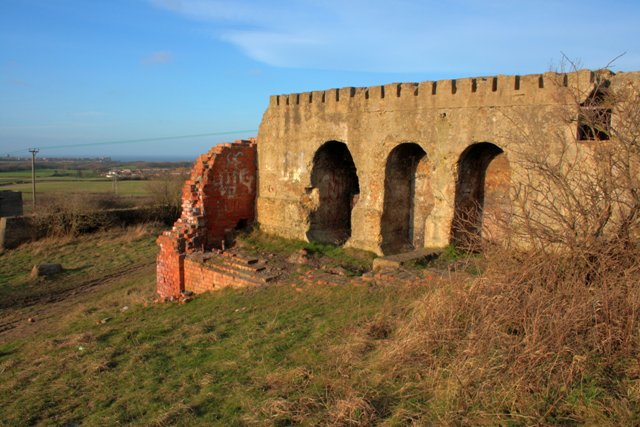
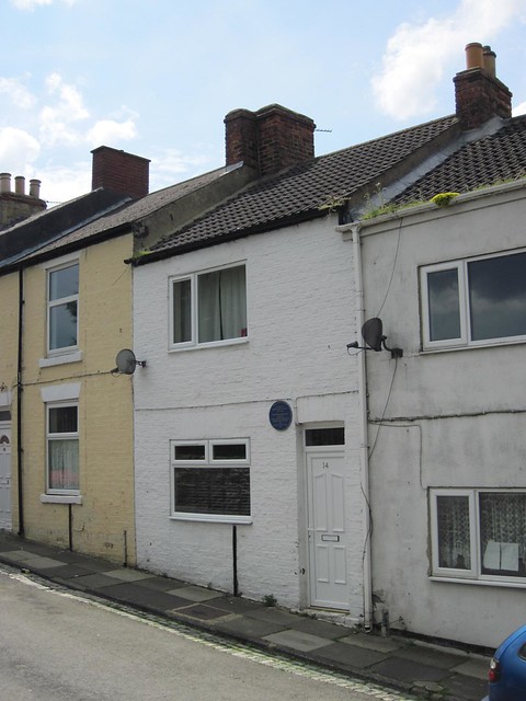
The discovery of ironstone brought major changes to the village and a large increase in the population. The majority of former miners' homes are found in the 'Brickyard' and 'the Park' areas of the village. Lumpsey Mine, the largest of the Brotton mines, opened in the 1880s and closed in 1954. During the First World War Lumpsey Mine had a rail-mounted artillery piece to defend the mine against Zeppelin attack.

Community

Brotton is close to the historic seaside town of Saltburn-by-the-Sea, known for its pier, and Guisborough, with its ancient Priory and market.

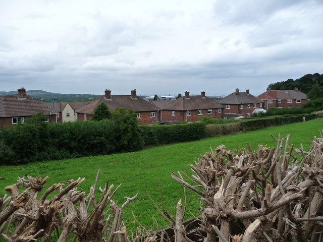
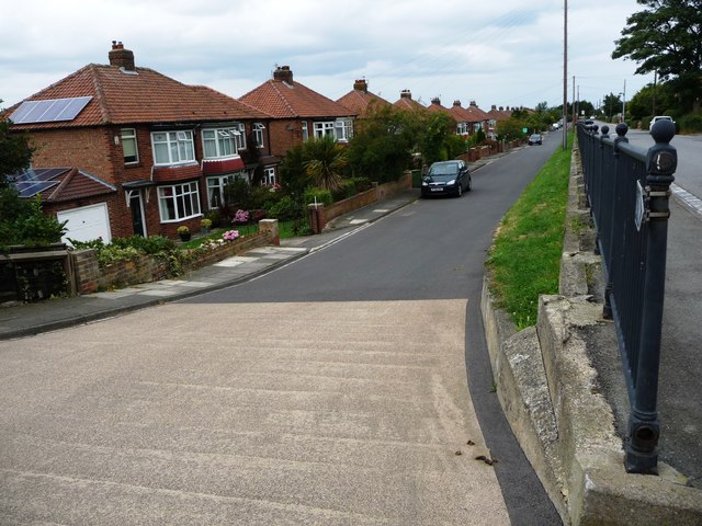
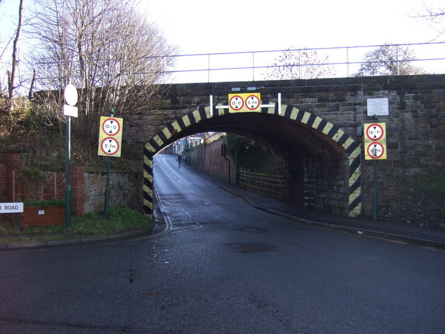
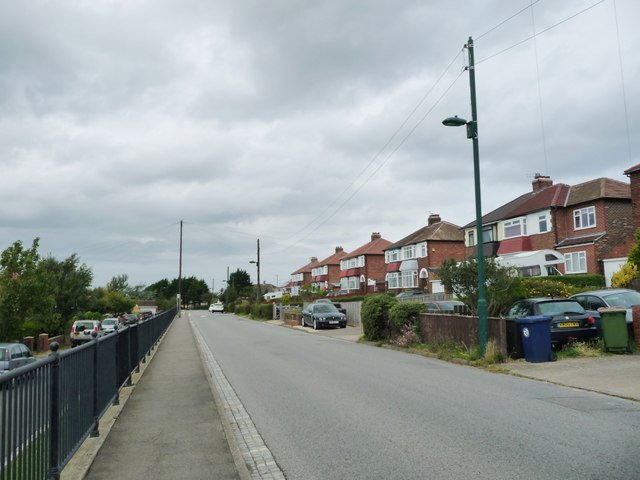
The village is divided into two parts: 'Top End' (the area east of the railway line) and 'Bottom End' (the area to the west).

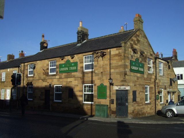
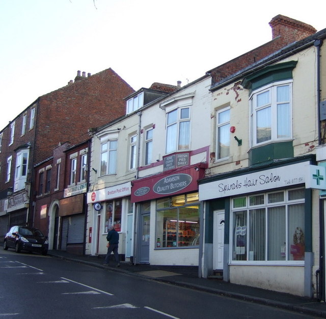
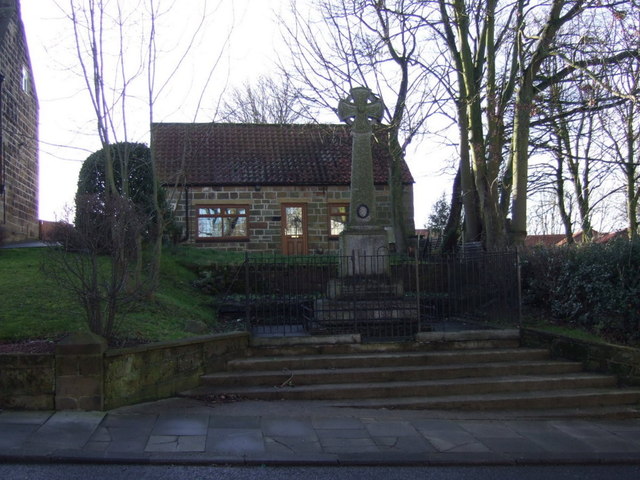
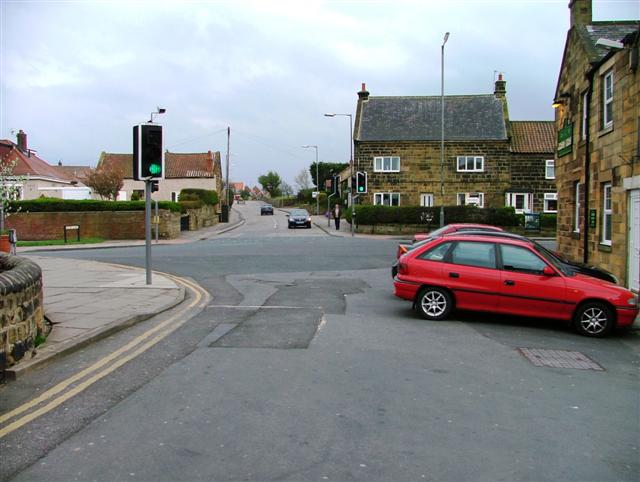
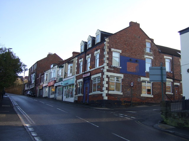
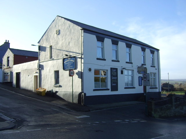
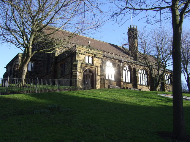
Brotton Anglican church is dedicated to St Margaret. The village contains a parade of shops on High Street, and its public houses include The Crown, The Ship, The Green Tree and The Queen's Arms.

Brotton has two primary schools, Badger Hill Primary School and St Peters Church of England school. There is also a school for children with learning difficulties, Kilton Thorpe. The village secondary school, Freebrough Academy, has recently been rebuilt.

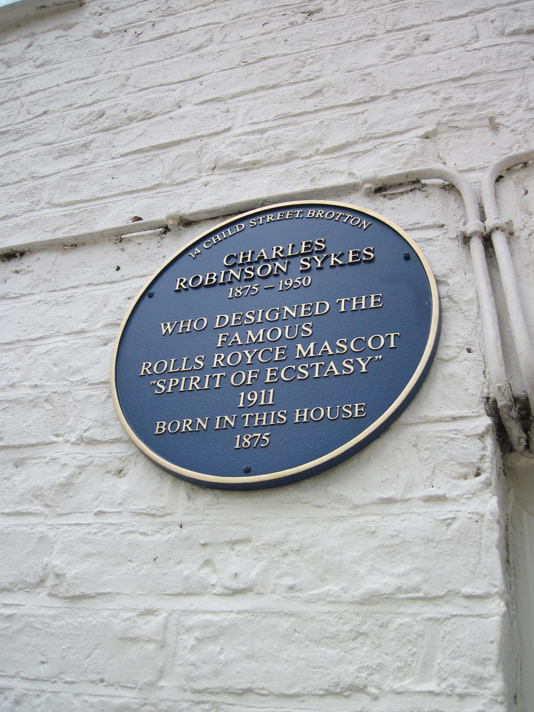
The sculptor Charles Robinson Sykes (1875-1950), was born in the village. He designed the Spirit of Ecstasy mascot which is used on Rolls-Royce cars.

Text from Wikipedia, available under the Creative Commons Attribution-ShareAlike License (accessed: 07/10/2018).
Visit the page: Brotton for references and further details. You can contribute to this article on Wikipedia.

Tees Valley Skelton and Brotton Civil Parish Charles Robinson Sykes (1875 - 1950) Redcar and Cleveland Brotton (Chapelry), 1848 Brotton Railway Station (1865 - 1970s) Church of St. Margaret of Antioch Huntcliff Ironstone Mine Lumpsey Ironstone Mine
from Geograph (geograph)
High Street, Brotton

Pinned by Simon Cotterill
from Geograph (geograph)
The Green Tree pub, Brotton

Pinned by Simon Cotterill
from Geograph (geograph)
Brotton Post Office

Pinned by Simon Cotterill
from Geograph (geograph)
Houses on High Street, Brotton

Pinned by Simon Cotterill
from Flickr (flickr)
Sheave Wheel, Brotton Roundabout

Pinned by Simon Cotterill
from Flickr (flickr)
Birthplace Charles Robinson Sykes, Brotton

Pinned by Simon Cotterill
from Flickr (flickr)
Birthplace Charles Robinson Sykes, Brotton

Pinned by Simon Cotterill
from IllustratedChronicles (flickr)
Jack Toulson, Brotton, killed

Pinned by Simon Cotterill
from Geograph (geograph)
Houses in Maple Grove, Brotton

Pinned by Simon Cotterill
from Geograph (geograph)
Brotton War Memorial

Pinned by Simon Cotterill
from Geograph (geograph)
Brotton

Pinned by Simon Cotterill
from Geograph (geograph)
Houses on the west side of Coach Road, Brotton

Pinned by Simon Cotterill
from Geograph (geograph)
Railway bridge over Skelton Road, Brotton

Pinned by Simon Cotterill
from Geograph (geograph)
Houses on the east side of Coach Road, Brotton

Pinned by Simon Cotterill
from Geograph (geograph)
Kilton Lane, Brotton

Pinned by Simon Cotterill
from Geograph (geograph)
Shops on High Street, Brotton

Pinned by Simon Cotterill
from Geograph (geograph)
Footbridge over the A174 at Brotton

Pinned by Simon Cotterill
from Geograph (geograph)
Railway Bridge at Brotton

Pinned by Simon Cotterill
from Geograph (geograph)
Woodside, Brotton

Pinned by Simon Cotterill
from Geograph (geograph)
The Railway Arms pub, Brotton

Pinned by Simon Cotterill

Comments

Add a comment or share a memory.

Login to add a comment. Sign-up if you don't already have an account.


Wikipedia: Brotton
Grid ref: NZ685198
District: Tees Valley

ABOUT US

Co-Curate is a project which brings together online collections, museums, universities, schools and community groups to make and re-make stories and images from North East England and Cumbria. Co-Curate is a trans-disciplinary project that will open up 'official' museum and 'un-officia'l co-created community-based collections and archives through innovative collaborative approaches using social media and open archives/data.

LATEST SHARED RESOURCES