Topics > Tees Valley > Upleatham

Upleatham


Upleatham is a village in Redcar and Cleveland, located about 2 miles north-east of Guisbrough. Upleatham is served by Guisbrough Town Coucil.

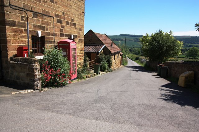
Upleatham is a village in the unitary authority of Redcar and Cleveland and the ceremonial county of North Yorkshire, England. The village was mentioned in the Domesday Book and the name derives from Old English and Old Norse as Upper Slope, in that it was further up the hill than Kirkleatham.

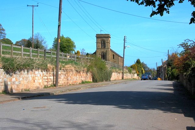
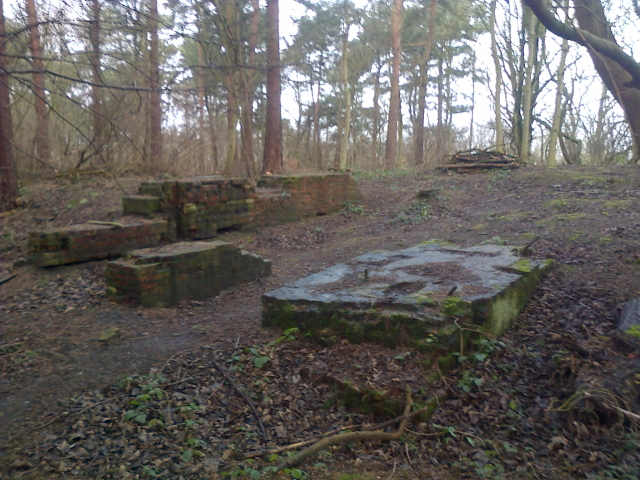
An ironstone seam that was thick was worked beneath the village which meant that some dwellings were lost to subsidence. The mine operated between the 1850s and 1924 with reserves of ironstone being estimated at a little over . The landowner of the time, the Earl of Zetland, allowed the mining company to extract the ironstone from underneath the village provided that the area around the church was left undisturbed. This is why the conservation area in the village is just a small selection of buildings clustered around the church. The arrival of the ironstone mine increased the population of the village from 204 in 1841 to 1,007 in 1861.

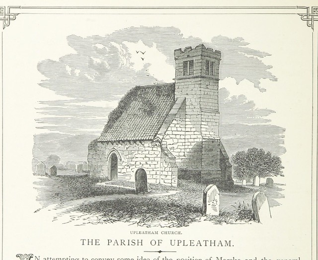
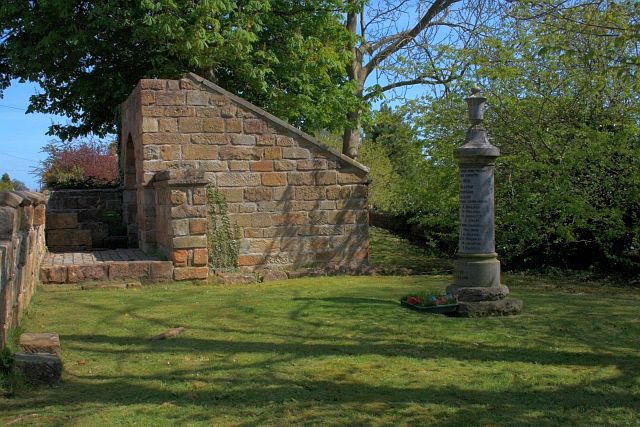
It has a small grade II listed church, believed by some to be the smallest in England, although Bremilham Church in Wiltshire is actually slightly smaller. The village is located near New Marske, between Saltburn and Guisborough; there are a few rows of houses which are adjacent to Errington Woods.

Text from Wikipedia, available under the Creative Commons Attribution-ShareAlike License (accessed: 25/11/2019).
Visit the page: Upleatham for references and further details. You can contribute to this article on Wikipedia.

Tees Valley Redcar and Cleveland Guisborough Town Council Church of St Andrew's Old Church of St Andrew's Upleatham Ironstone Mine Upleatham Parish, 1848 War Memorial
from Flickr (flickr)
Well, Upleatham

Pinned by Simon Cotterill
from Geograph (geograph)
Post box and telephone kiosk in Upleatham

Pinned by Simon Cotterill
from Geograph (geograph)
Upleatham

Pinned by Simon Cotterill
from Geograph (geograph)
Public footpath to Errington Wood

Pinned by Simon Cotterill

Comments

Add a comment or share a memory.

Login to add a comment. Sign-up if you don't already have an account.


ABOUT US

Co-Curate is a project which brings together online collections, museums, universities, schools and community groups to make and re-make stories and images from North East England and Cumbria. Co-Curate is a trans-disciplinary project that will open up 'official' museum and 'un-officia'l co-created community-based collections and archives through innovative collaborative approaches using social media and open archives/data.

LATEST SHARED RESOURCES