Topics > Tees Valley > Pinchinthorpe
Pinchinthorpe
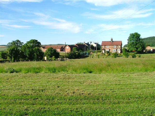
Pinchinthorpe is a hamlet about half a mile south-west of Guisborough in Redcar and Cleveland. Historically it was part of the North Riding of Yorkshire.
PINCHINGTHORPE, a township, in the parish and union of Guisborough, E. division of the liberty of Langbaurgh, N. riding of York, 5 miles (N.E.) from Stokesley; containing 60 inhabitants. This place, in Domesday book styled Thorpe only, was at that period held by the family of Mallet; the Thorpes afterwards had an interest in the property, and among subsequent owners appear the families of Conyers, Bulmer, and Lee. The township is on the road from Guisborough to Stokesley, and comprises 880 acres of land, of which 89 are common or waste; the surface is level, and encompassed by the Cleveland hills, and the soil is a strong clay, in good cultivation. The tithes of the township have been commuted for a yearly rent-charge of £150, payable to the Archbishop of York.
Extract from: A Topographical Dictionary of England comprising the several counties, cities, boroughs, corporate and market towns, parishes, and townships..... 7th Edition, by Samuel Lewis, London, 1848.
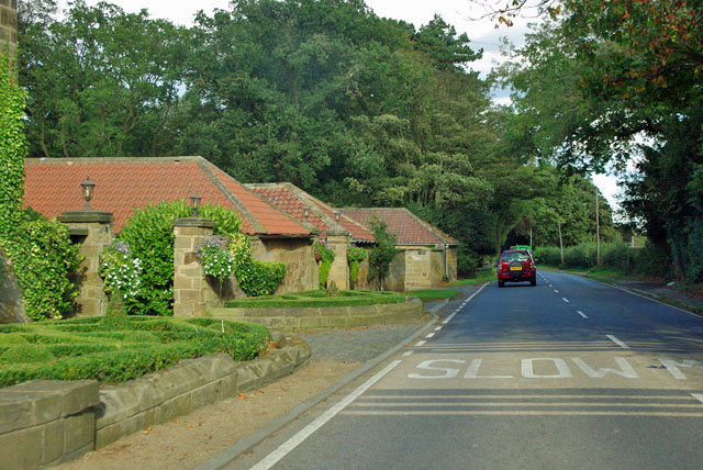
Pinchinthorpe is a small hamlet near Guisborough in Redcar and Cleveland, England. It is a linear settlement spread along the A173. The postcode is TS14 8HE.
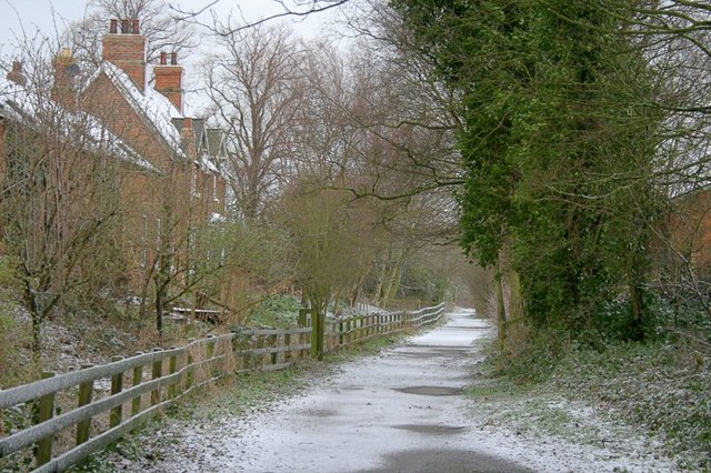
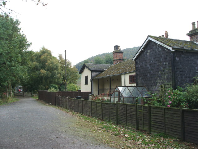
Until 1951 Pinchinthorpe had a working railway station, on the line from Middlesbrough to Guisborough. The village has four bus stops, two of which are not near any housing.
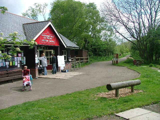
Pinchinthorpe is the starting point for the Guisborough Forest Walkway.
Pinchinthorpe Hall is the home of a microbrewery; "The North Yorkshire Brewery" and bottling plant for mineral water.
There is a spring supply for mains water from the nearby hills, meaning that there is no water rate payable by the residents.
Visit the page: Pinchinthorpe for references and further details. You can contribute to this article on Wikipedia.
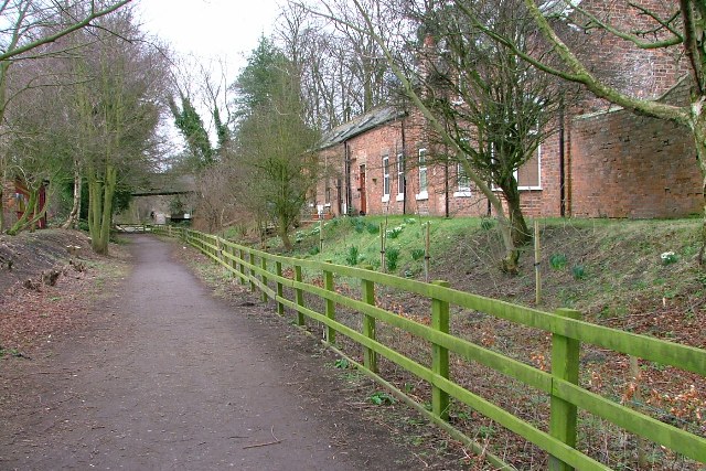
from Geograph (geograph)
Pinchingthorpe 1st railway station (site), Yorkshire
Pinned by Simon Cotterill

Co-Curate Page
Guisborough Parish, 1848
- GUISBOROUGH, or Guilsborough (St. Nicholas), a market-town and parish, and the head of a union, in the E. division of the liberty of Langbaurgh, N. riding of York, 49 miles …

from Geograph (geograph)
Pinchingthorpe 1st railway station (site), Yorkshire
Pinned by Simon Cotterill


