Topics > Civil Parishes in Cumbria > Greystoke Civil Parish > Greystoke Parish, 1848
Greystoke Parish, 1848
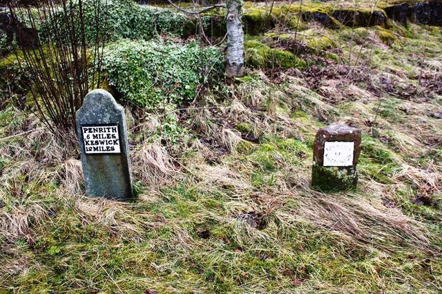
GREYSTOCK (St. Andrew), a parish, in the union of Penrith, Leath ward, E. division of Cumberland, 11 miles (W. by N.) from Penrith; comprising the townships of Berrier with Murrah, Little Blencow, Bowscale, Greystock, Hutton-John, Hutton-Roof, Hutton-Soil, Johnby, Matterdale, Motherby with Gill, Mungrisdale, Threlkeld, and Water-Millock; and containing 2,786 inhabitants, of whom 364 are in the township of Greystock. This place belonged soon after the Conquest to Lyolf, whose descendants assumed the name of the estate. Thomas de Greystock obtained from Henry III. the grant of a weekly market and an annual fair, both of which have been long since discontinued. During the war in the reign of Charles I., the ancient baronial castle was garrisoned for the king, but being besieged by a detachment of the army under General Lambert, surrendered, in 1648, and was soon afterwards demolished by order of the parliament: some of the ruined towers only are at present remaining, near the site of the modern castle, erected about the year 1670. The parish comprises a tract of rich and fertile land, extending ten miles in length and eight in average breadth, and abounding in richly diversified scenery. The soil is generally a red loam, alternated with gravel, and the substratum abounds with coal and limestone; there are also some quarries of good slate. The present castle, erected by the Hon. Charles Howard, and greatly improved by the late Duke of Norfolk, is a magnificent structure, containing several stately apartments, and a large collection of paintings; the grounds are beautifully laid out, and embellished with artificial waterfalls. The village is situated near the source of the river Petterill, and the neighbourhood abounds with various kinds of game. The living is a rectory, valued in the king's books at £40. 7. 8½.; patron, Adam Askew, Esq. The church was in 1382 made collegiate by Neville, Archbishop of York, for a prior and six canons, whose stalls are yet remaining, though their chantries have been demolished; it is a handsome structure in the decorated English style, and near the altar is a table-monument of alabaster, with effigies of two of the barons of Greystock, in armour, under highly-enriched canopies of alabaster. There are chapels at Matterdale, Mungrisdale, Water-Millock, and Threlkeld. In the parish are vestiges of a Roman intrenchment, called Redstone Camp, near which have been found urns, stone coffins, and human bones; leading from it in a direction towards Ambleside, are traces of an ancient road, and in the same tract lie three large cairns. In the vicinity of Motherby is a circle of stones, seventeen yards in diameter, within the area of which heaps of bones have been discovered.
Extract from: A Topographical Dictionary of England comprising the several counties, cities, boroughs, corporate and market towns, parishes, and townships..... 7th Edition, by Samuel Lewis, London, 1848.

from https://www.cumbriacountyhist…
Greystoke Parish
- "Ancient parish in Leath ward, Cumberland, embracing 13 townships, of which 9 became separate CPs (for which see separate entries): Berrier & Murrah, Bowscale, Hutton John, Hutton Roof, Hutton Soil, …
Added by
Edmund Anon
from https://www.cumbriacountyhist…
Hutton Roof Township
- "Township in Greystoke parish, Leath ward, Cumberland. Absorbed into Mungrisdale CP 1934.....part of barony of Greystoke (q.v.).
Economy:
predominantly agricultural; some lime-burning and freestone quarrying early 19th century....."
Added by
Edmund Anon
from https://www.cumbriacountyhist…
Threlkeld
- "Chapelry and township in Greystoke parish, Leath ward, Cumberland.
Acreage:
5,956 acres [2410 ha]. Small open field (‘townfield’ of 11 acres [4 ha]) enclosed 1842. Threlkeld Common, covering 1,102 acres …
Added by
Simon Cotterill
from https://www.cumbriacountyhist…
Watermillock Chapelry
- "Chapelry and township in Greystoke parish, Leath ward, Cumberland. Absorbed into Matterdale CP 1934....part of barony of Greystoke (q.v.), with which it descended. Lyulph’s Tower built 1781 by duke of …
Added by
Simon Cotterill

Co-Curate Page
Threlkeld, 1848
- THRELKELD, a chapelry, in the parish of Greystock, union of Penrith, Leath ward, E. division of Cumberland, 4½ miles (E.N.E.) from Keswick; containing 332 inhabitants. It comprises 2,200 acres, one …
Co-Curate Page
Watermillock, 1848
- WATER-MILLOCK, a chapelry, in the parish of Greystock, union of Penrith, Leath ward, E. division of Cumberland, 7 miles (S.W.) from Penrith; containing 524 inhabitants. This place is sometimes called …
Co-Curate Page
Little Blencow
- BLENCOW, LITTLE, a township, in the parish of Greystock, union of Penrith, Leath ward, E. division of Cumberland, 4¾ miles (W.N.W.) from Penrith; containing 69 inhabitants. Near an ancient house, …
Co-Curate Page
Bowscale
- Overview Map Street View BOWSCALE, a township, in the parish of Greystock, union of Penrith, Leith ward, county of Cumberland, 10 miles (W. N. W.) from Penrith; containing 31 inhabitants. …
Co-Curate Page
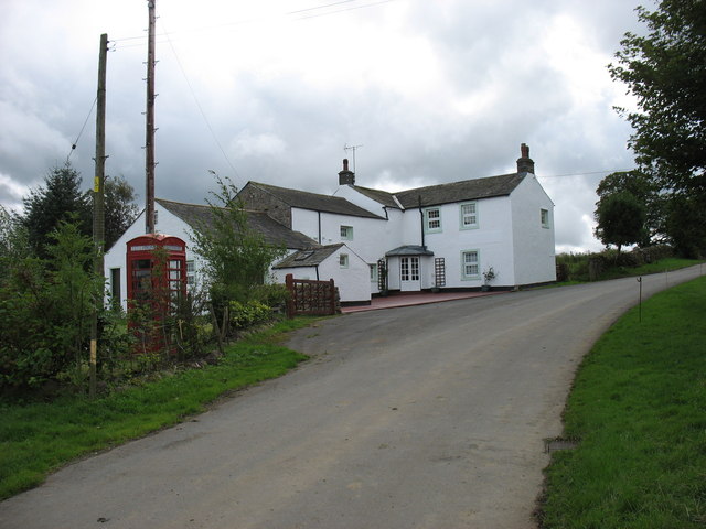
Johnby
- Overview Map Street View Johnby is a village in the Eden district of Cumbria, located about 5 miles north-west of Penrith and a mile north of the village of Greystoke. Johnby …
Co-Curate Page
Hutton Roof (Penrith)
- Overview About Hutton Roof Map Street View Hutton Roof is a hamlet in the Civil Parish of Mungrisdale, in the Eden District of Cumbria. It is located about 9 miles …
Co-Curate Page
Matterdale, 1848
- MATTERDALE, a chapelry, in the parish of Greystock, union of Penrith, Leath ward, E. division of Cumberland, 10 miles (S.W. by W.) from Penrith; containing 363 inhabitants. The chapelry is …
Co-Curate Page
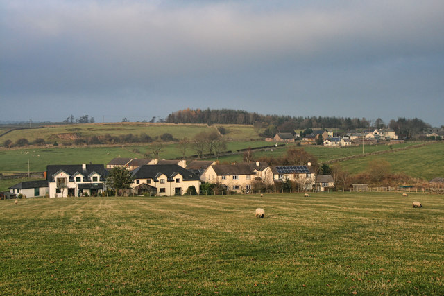
Motherby
- Overview Map Street View Motherby is a village in the Eden district of Cumbria, located about 5 miles west of Penrith and 1½ miles south-west of the village of Greystoke. Motherby …
Co-Curate Page
Mungrisdale, 1848
- MUNGRISDALE, a chapelry, in the parish of Greystock, union of Penrith, Leath ward, E. division of Cumberland, 8½ miles (N.E. by E.) from Keswick; containing 222 inhabitants. There are quarries …
Co-Curate Page
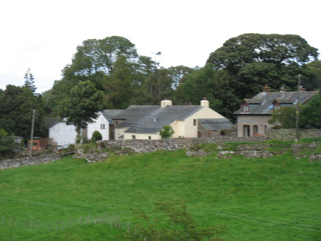
Penruddock
- Overview About Penruddock Map Street View PENRUDDOCK, a hamlet, in the parish of Greystock, union of Penrith, Leath ward, E. division of Cumberland, 6¼ miles (W. by S.) from Penrith. …
Co-Curate Page
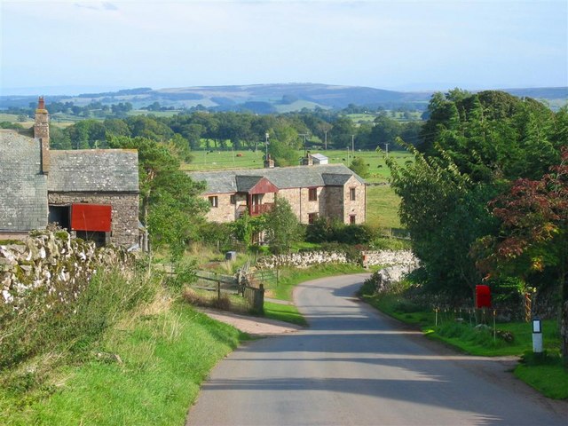
Berrier, Cumbria
- Overview Map Street View Berrier is a hamlet in the Eden district of Cumbria, located about 6 miles west of Penrith and 16 miles south of Carlisle. Historically, Berrier with Murrah …

from https://www.cumbriacountyhist…
Greystoke Parish
- "Ancient parish in Leath ward, Cumberland, embracing 13 townships, of which 9 became separate CPs (for which see separate entries): Berrier & Murrah, Bowscale, Hutton John, Hutton Roof, Hutton Soil, …
Added by
Edmund Anon
from https://www.cumbriacountyhist…
Hutton Roof Township
- "Township in Greystoke parish, Leath ward, Cumberland. Absorbed into Mungrisdale CP 1934.....part of barony of Greystoke (q.v.).
Economy:
predominantly agricultural; some lime-burning and freestone quarrying early 19th century....."
Added by
Edmund Anon
from https://www.cumbriacountyhist…
Threlkeld
- "Chapelry and township in Greystoke parish, Leath ward, Cumberland.
Acreage:
5,956 acres [2410 ha]. Small open field (‘townfield’ of 11 acres [4 ha]) enclosed 1842. Threlkeld Common, covering 1,102 acres …
Added by
Simon Cotterill
from https://www.cumbriacountyhist…
Watermillock Chapelry
- "Chapelry and township in Greystoke parish, Leath ward, Cumberland. Absorbed into Matterdale CP 1934....part of barony of Greystoke (q.v.), with which it descended. Lyulph’s Tower built 1781 by duke of …
Added by
Simon Cotterill
Co-Curate Page
Threlkeld, 1848
- THRELKELD, a chapelry, in the parish of Greystock, union of Penrith, Leath ward, E. division of Cumberland, 4½ miles (E.N.E.) from Keswick; containing 332 inhabitants. It comprises 2,200 acres, one …
Co-Curate Page
Watermillock, 1848
- WATER-MILLOCK, a chapelry, in the parish of Greystock, union of Penrith, Leath ward, E. division of Cumberland, 7 miles (S.W.) from Penrith; containing 524 inhabitants. This place is sometimes called …
Co-Curate Page
Little Blencow
- BLENCOW, LITTLE, a township, in the parish of Greystock, union of Penrith, Leath ward, E. division of Cumberland, 4¾ miles (W.N.W.) from Penrith; containing 69 inhabitants. Near an ancient house, …
Co-Curate Page
Bowscale
- Overview Map Street View BOWSCALE, a township, in the parish of Greystock, union of Penrith, Leith ward, county of Cumberland, 10 miles (W. N. W.) from Penrith; containing 31 inhabitants. …
Co-Curate Page
Johnby
- Overview Map Street View Johnby is a village in the Eden district of Cumbria, located about 5 miles north-west of Penrith and a mile north of the village of Greystoke. Johnby …
Co-Curate Page
Hutton Roof (Penrith)
- Overview About Hutton Roof Map Street View Hutton Roof is a hamlet in the Civil Parish of Mungrisdale, in the Eden District of Cumbria. It is located about 9 miles …
Co-Curate Page
Matterdale, 1848
- MATTERDALE, a chapelry, in the parish of Greystock, union of Penrith, Leath ward, E. division of Cumberland, 10 miles (S.W. by W.) from Penrith; containing 363 inhabitants. The chapelry is …
Co-Curate Page
Motherby
- Overview Map Street View Motherby is a village in the Eden district of Cumbria, located about 5 miles west of Penrith and 1½ miles south-west of the village of Greystoke. Motherby …
Co-Curate Page
Mungrisdale, 1848
- MUNGRISDALE, a chapelry, in the parish of Greystock, union of Penrith, Leath ward, E. division of Cumberland, 8½ miles (N.E. by E.) from Keswick; containing 222 inhabitants. There are quarries …
Co-Curate Page
Penruddock
- Overview About Penruddock Map Street View PENRUDDOCK, a hamlet, in the parish of Greystock, union of Penrith, Leath ward, E. division of Cumberland, 6¼ miles (W. by S.) from Penrith. …