Topics > Cumbria > Rivers in Cumbria > River Eden (Cumbria)
River Eden (Cumbria)
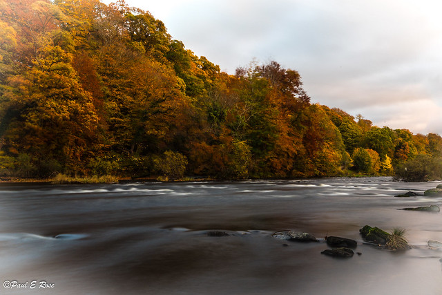
The River Eden is a river that flows through the Eden District of Cumbria, England, on its way to the Solway Firth.
Etymology
The river was known to the Romans as the Itouna, as recorded by the Greek geographer Claudius Ptolemaeus (Ptolemy) in the 2nd century AD. This name derives from the Celtic word ituna, meaning water, or rushing. Thus there is no relation to the biblical Garden of Eden.
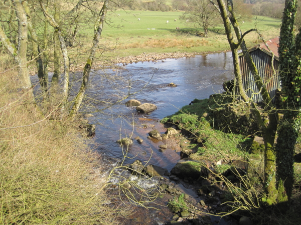
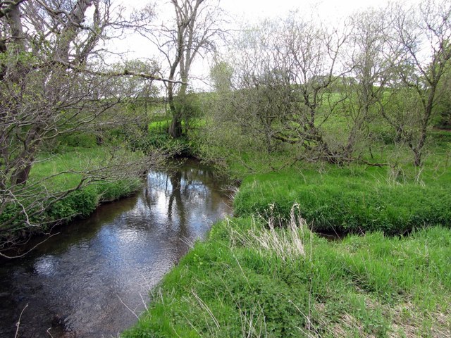
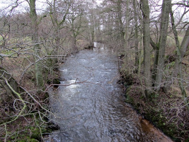
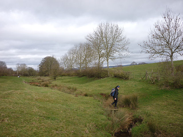
Course of river
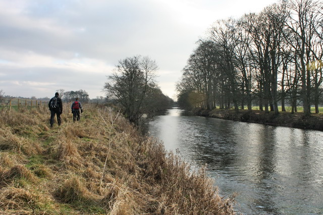
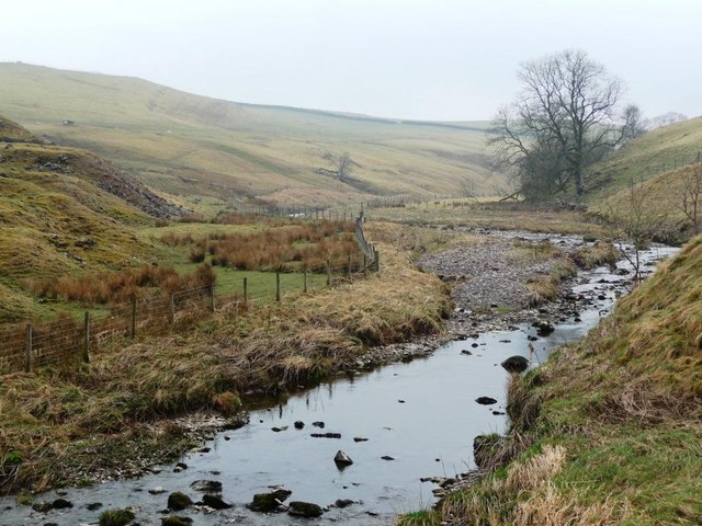
The Eden rises in Black Fell Moss, Mallerstang, on the high ground between High Seat, Yorkshire Dales and Hugh Seat. Here it forms the boundary between the counties of Cumbria and North Yorkshire. Two other great rivers arise in the same peat bogs here, within a kilometre of each other: the River Swale and River Ure.
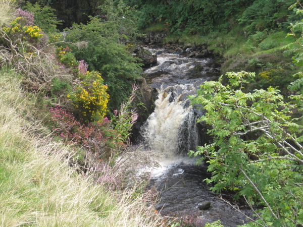
It starts life as Red Gill Beck, then becomes Hell Gill Beck, before turning north and joining with Ais Gill Beck to become the River Eden. (Hell Gill Force, just before it meets Ais Gill Beck, is the highest waterfall along its journey to the sea).
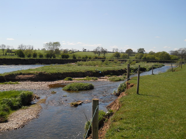
The steep-sided dale of Mallerstang later opens out to become the Vale of Eden. The river flows through Kirkby Stephen and Appleby-in-Westmorland, and receives the water of many becks flowing off the Pennines to the east, and longer rivers from the Lakes off to the west, including the River Lyvennet, River Leith and River Eamont, which arrives via Ullswater and Penrith.
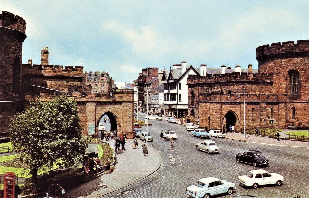
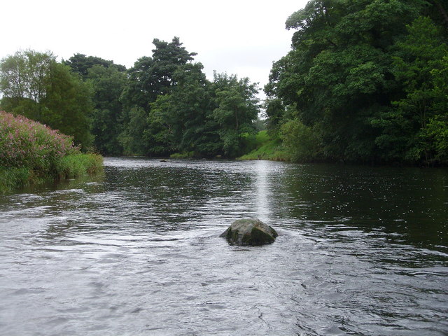
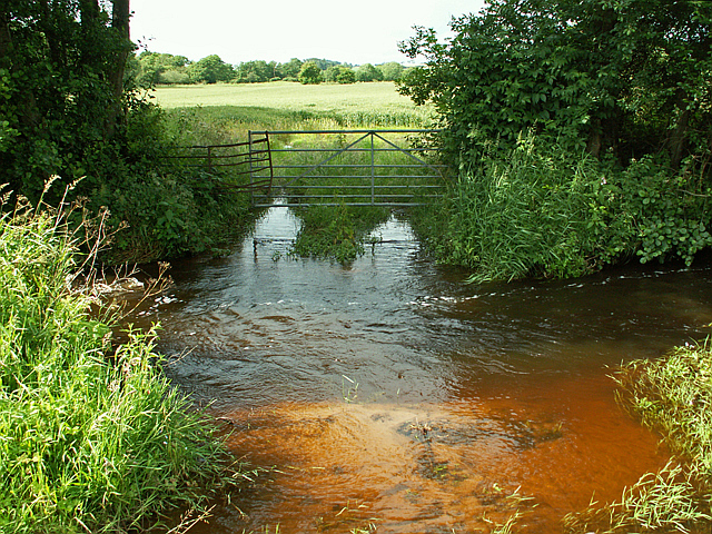
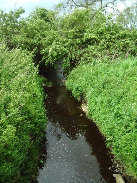
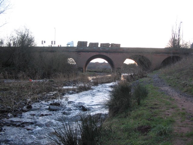
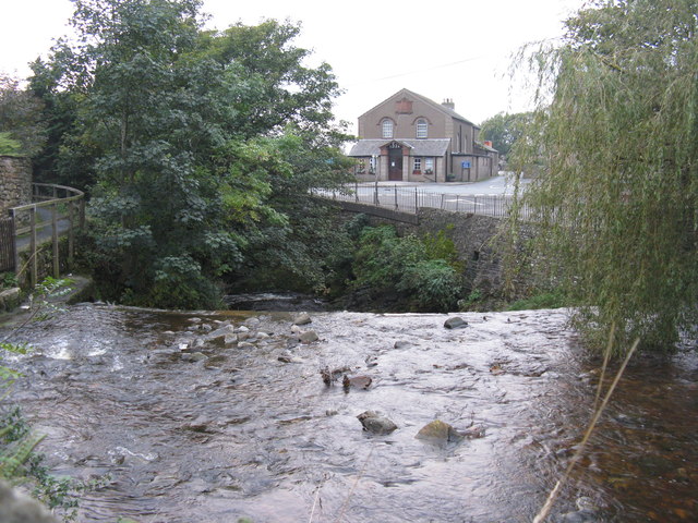
Continuing north, it passes close to the ancient stone circle known as Long Meg and Her Daughters and through the sparsely populated beef and dairy farming regions of the vale of Cumbria on the Solway Plain. After flowing through Wetheral, where it is crossed by Corby Bridge, a Grade I listed railway viaduct of 1834, it merges with the River Irthing from the east, followed by the River Petteril and River Caldew from the south, as it winds through Carlisle.
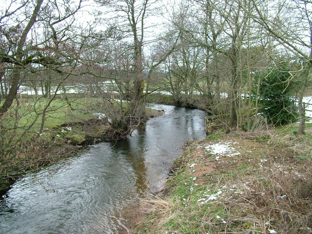
Its junction with the River Caldew in north Carlisle marks the point where Hadrian's Wall crosses the Eden, only five miles before both reach their end at the tidal flats. It enters the Solway Firth near the mouth of the River Esk after a total distance of approximately 81 miles (130 km).
Ecology
The river supports Atlantic salmon (Salmo salar) and Eurasian otter (Lutra lutra). The river and its tributaries are designated a Special Area of Conservation under the European Union's Habitats Directive. The area protected by the SAC includes Ullswater.
Visit the page: River Eden, Cumbria for references and further details. You can contribute to this article on Wikipedia.
Co-Curate Page
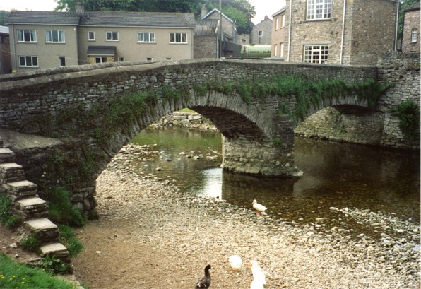
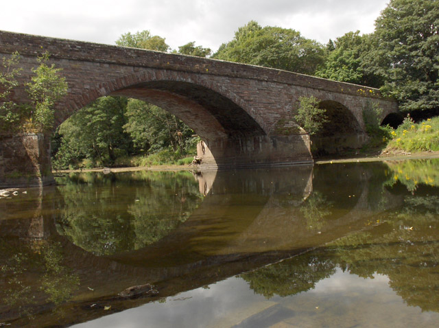
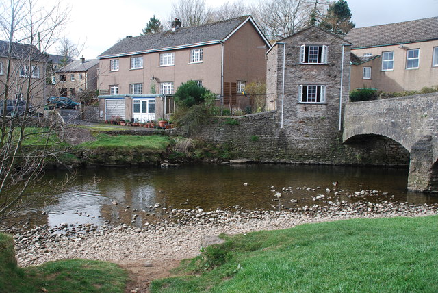
Bolton Bridge, Bolton
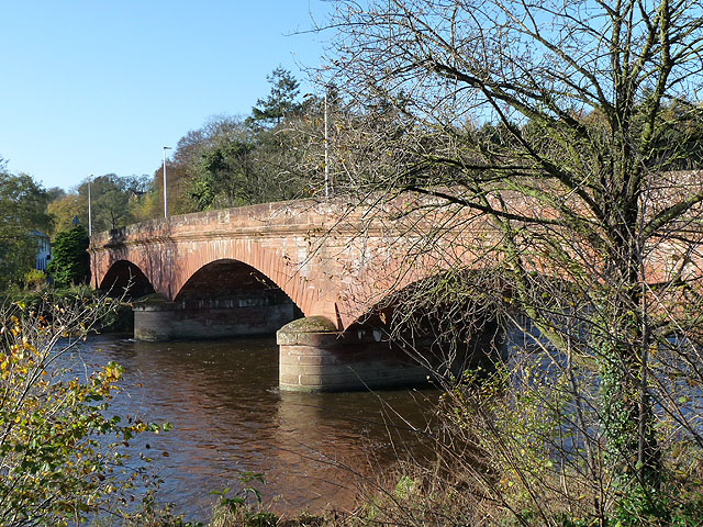
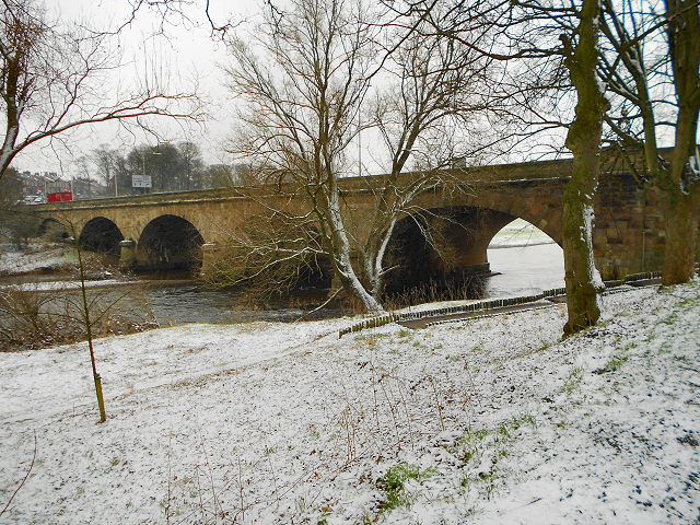
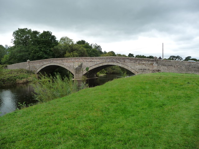
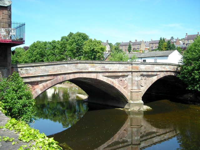
- Overview Map Street View The red sandstone bridge over the River Eden at Bolton in Cumbria is dated 1870.
Co-Curate Page
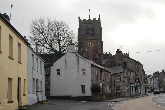
Bolton
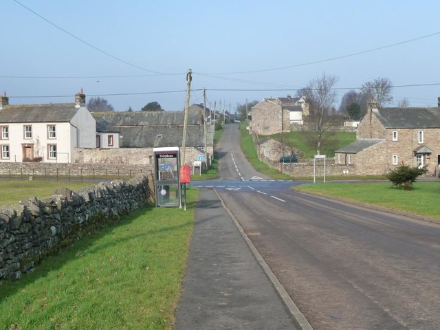
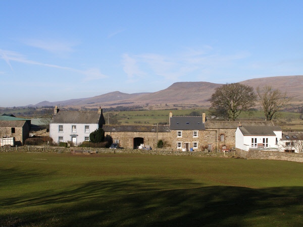
- Overview About Bolton Map Street View Bolton is a village in Cumbria, located just over 3 miles north-west of Appleby-in-Westmorland and about 9 miles south-east of Penrith. The village includes a …
Co-Curate Page
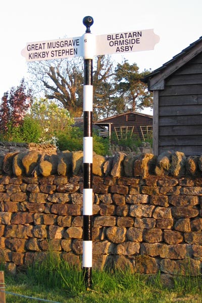
Great Musgrave
- Overview About Great Musgrave Map Street View Great Musgrave is a village in the Eden district of Cumbria, England. It is about a mile west of Brough. Great Musgrave …
Co-Curate Page
Little Musgrave
- Overview About Little Musgrave Map Street View Little Musgrave is a village in the Eden district of Cumbria, located about 2½ miles south-west of Brough. The village of Great Musgrave …
Co-Curate Page
Kirkandrews on Eden
- Overview About Kirkandrews on Eden Map Street View Kirkandrews-on-Eden or Kirkandrews-upon-Eden, in the past known as Kirkanders, is a village and former civil parish, now in the civil parish …
Co-Curate Page
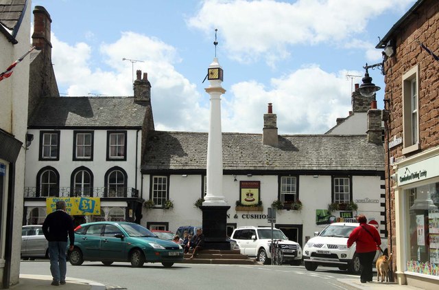
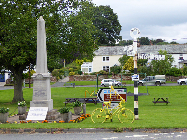
Langwathby
- Overview About Langwathby Map Street View Langwathby is a village and civil parish in northern Cumbria, England, about 5 miles (8 km) north east of Penrith on the A686 road. …
Co-Curate Page
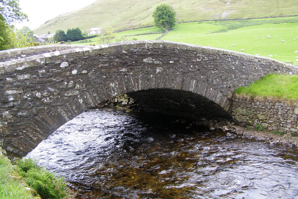
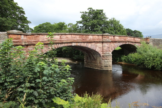
St Lawrence's Bridge
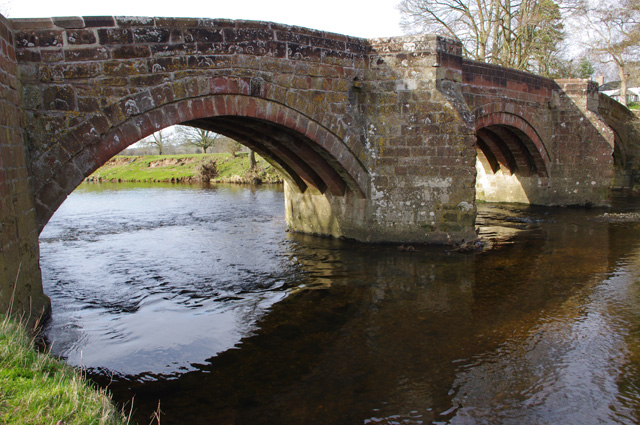
- Overview Map Street View St Lawrence's Bridge (aka Appleby Bridge) carries Bridge Street over the River Eden in Appleby-in-Westmorland. The present bridge was built in 1889, replacing a much earlier …
Co-Curate Page
Addingham Cross
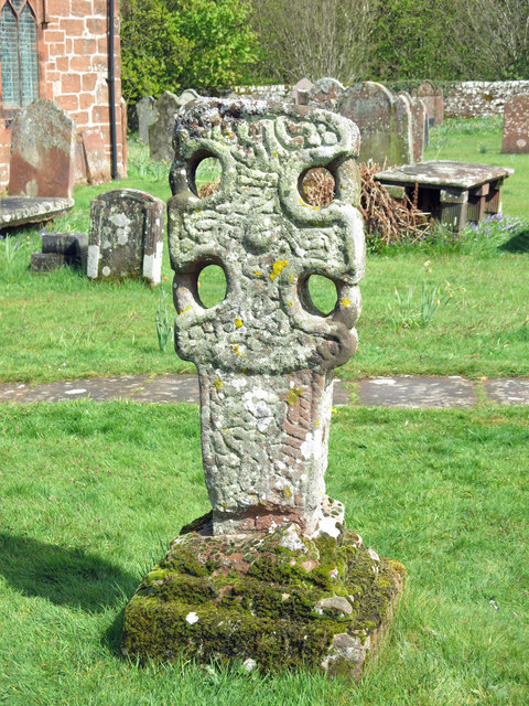
- The 'Addingham Cross' is a late 10th or early 11th century Saxon stone cross in the churchyard of St Michael's Church, Glassonby. The cross was originally located in the churchyard …
Co-Curate Page
Low Crosby
- Overview About Crosby-on-Eden Map Street View Low Crosby is a village in Cumbria, located by the River Eden, about 3 miles north-east of the centre of Carlisle. The smaller village …
Co-Curate Page
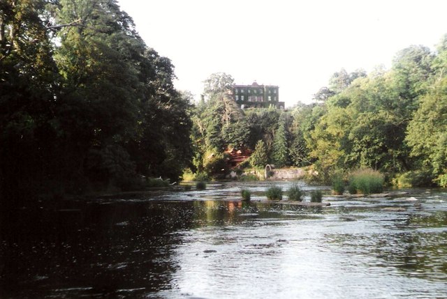
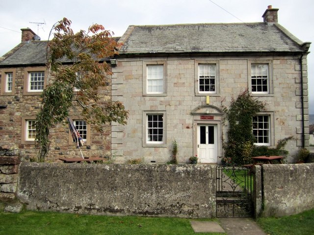
Armathwaite Castle
- Overview About Armathwaite Castle Map Street View Armathwaite Castle is a mid 15th century fortified house with later alerations, including 18th century extensions to make it into a substantial mansion. …
Co-Curate Page
Great Salkeld
- Overview About Great Salkeld Map Street View Great Salkeld is a small village and civil parish in the Eden District of Cumbria, England, a few miles to the north …
Co-Curate Page
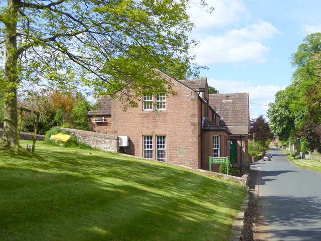
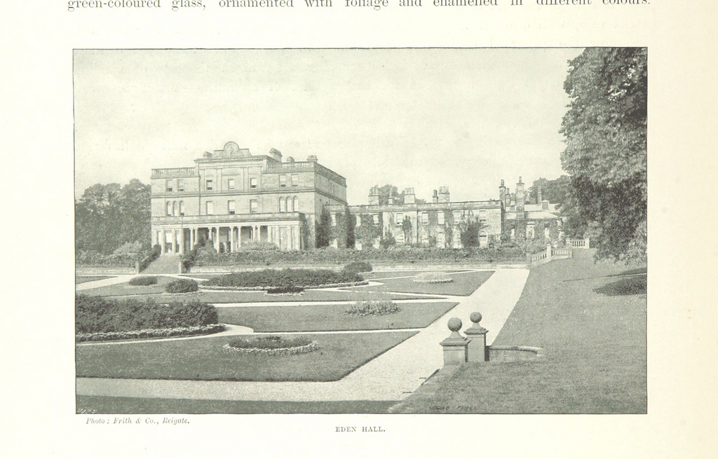
Edenhall
- Overview About Edenhall Map Street View Edenhall is a village in the Eden district of Cumbria, located about 3½ miles north-east of Penrith and a mile south-west of the village …
Co-Curate Page
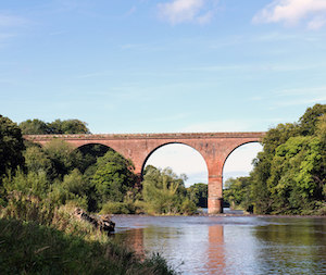
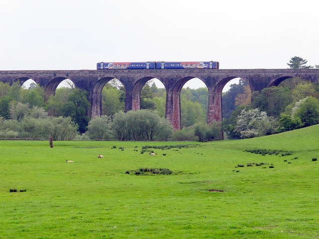
Ormside Viaduct
- Overview Map Ormside Viaduct carries the Settle and Carlisle Railway over the River Eden, about ½ mile north-west of Great Ormside. The viaduct was built from 1870 to 1875.
Co-Curate Page
Sandford
- Overview Map Street View Sandford is a village in the Eden district of Cumbria, located about 3 miles south-east of Appleby-in-Westmorland and 4 miles north-west of Brough. The village is …
Co-Curate Page
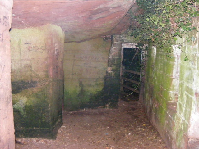
St Constantine's Cells (Wetheral Caves) and rock-cut Roman Graffiti
- Overview Map St Constantine's Cells (aka Wetheral Caves, Wetheral Safeguard, or Constantine's Hermitage) are three chambers cut into the cliff face about 40ft above the River Eden, south of Wetheral. …

Co-Curate Page
Waverley Viaduct, Carlisle
- Overview Map Street View Waverley Viaduct (aka Engine Lonning Bridge) is a disused railway bridge over the River Eden in Carlisle. The viaduct was built in 1861 for the North …

Co-Curate Page
Bolton Bridge, Bolton
- Overview Map Street View The red sandstone bridge over the River Eden at Bolton in Cumbria is dated 1870.
Co-Curate Page
Bolton
- Overview About Bolton Map Street View Bolton is a village in Cumbria, located just over 3 miles north-west of Appleby-in-Westmorland and about 9 miles south-east of Penrith. The village includes a …
Co-Curate Page
Great Musgrave
- Overview About Great Musgrave Map Street View Great Musgrave is a village in the Eden district of Cumbria, England. It is about a mile west of Brough. Great Musgrave …
Co-Curate Page
Little Musgrave
- Overview About Little Musgrave Map Street View Little Musgrave is a village in the Eden district of Cumbria, located about 2½ miles south-west of Brough. The village of Great Musgrave …
Co-Curate Page
Kirkandrews on Eden
- Overview About Kirkandrews on Eden Map Street View Kirkandrews-on-Eden or Kirkandrews-upon-Eden, in the past known as Kirkanders, is a village and former civil parish, now in the civil parish …
Co-Curate Page
Langwathby
- Overview About Langwathby Map Street View Langwathby is a village and civil parish in northern Cumbria, England, about 5 miles (8 km) north east of Penrith on the A686 road. …
Co-Curate Page
St Lawrence's Bridge
- Overview Map Street View St Lawrence's Bridge (aka Appleby Bridge) carries Bridge Street over the River Eden in Appleby-in-Westmorland. The present bridge was built in 1889, replacing a much earlier …
Co-Curate Page
Addingham Cross
- The 'Addingham Cross' is a late 10th or early 11th century Saxon stone cross in the churchyard of St Michael's Church, Glassonby. The cross was originally located in the churchyard …
Co-Curate Page
Low Crosby
- Overview About Crosby-on-Eden Map Street View Low Crosby is a village in Cumbria, located by the River Eden, about 3 miles north-east of the centre of Carlisle. The smaller village …
Co-Curate Page
Armathwaite Castle
- Overview About Armathwaite Castle Map Street View Armathwaite Castle is a mid 15th century fortified house with later alerations, including 18th century extensions to make it into a substantial mansion. …
Co-Curate Page
Great Salkeld
- Overview About Great Salkeld Map Street View Great Salkeld is a small village and civil parish in the Eden District of Cumbria, England, a few miles to the north …
Co-Curate Page
Edenhall
- Overview About Edenhall Map Street View Edenhall is a village in the Eden district of Cumbria, located about 3½ miles north-east of Penrith and a mile south-west of the village …
Co-Curate Page
Ormside Viaduct
- Overview Map Ormside Viaduct carries the Settle and Carlisle Railway over the River Eden, about ½ mile north-west of Great Ormside. The viaduct was built from 1870 to 1875.
Co-Curate Page
Sandford
- Overview Map Street View Sandford is a village in the Eden district of Cumbria, located about 3 miles south-east of Appleby-in-Westmorland and 4 miles north-west of Brough. The village is …
Co-Curate Page
St Constantine's Cells (Wetheral Caves) and rock-cut Roman Graffiti
- Overview Map St Constantine's Cells (aka Wetheral Caves, Wetheral Safeguard, or Constantine's Hermitage) are three chambers cut into the cliff face about 40ft above the River Eden, south of Wetheral. …
Co-Curate Page
Waverley Viaduct, Carlisle
- Overview Map Street View Waverley Viaduct (aka Engine Lonning Bridge) is a disused railway bridge over the River Eden in Carlisle. The viaduct was built in 1861 for the North …

Cumbria

Rivers in Cumbria
Briggle Beck (Eden)
Cairn Beck
Croglin Water
Crowdundle Beck
Luz Beck
Powburgh Beck

River Belah
River Petteril
Scandal Beck
Swindale Beck (Brough)
Trout Beck (Eden)