Topics > Cumbria > Rivers in Cumbria > River Irthing
River Irthing
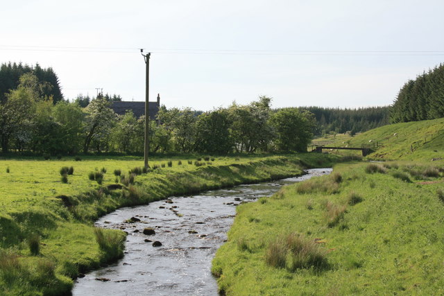
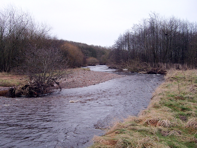
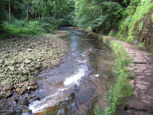
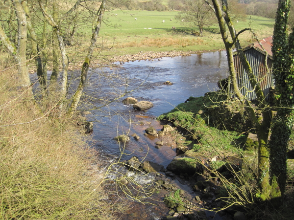
The River Irthing is a river in Cumbria, England and a major tributary of the River Eden. The name is recorded as Ard or Arden in early references. For the first 15 miles of its course it defines the border between Northumberland and Cumbria.
It is thought that before the last glacial maximum the Irthing flowed into the South Tyne valley through the watershed near Greenhead, now known as the Tyne Gap. This section of the valley is now blocked by a filling of glacial till, diverting the river south west, but the old course has been detected by drilling and echo-sounding. The rapidly eroding cliffs threatening the southern edge of Birdoswald Roman Fort and the fact that the Roman bridge abutment at Willowford is now 44 m (144.4 ft) from the river testify to the instability of the local landscape as it continues to recover from glacial alteration.
The river rises on Paddaburn Moor in Kielder Forest and skirts the eastern edge of Butterburn Flow raised bog. Remains of numerous mediaeval shielings have been found along the banks of these upper reaches, some of which have been given ancient monument status.
For two miles above the village of Gilsland the river flows through the Irthing Gorge [http://www.woodlandtrust.org.uk/en/our-woods/Pages/wood-details.aspx?wood=4299#.UA__zZHCuRw], flanked by mainly sandstone crags. Within the upper section of this gorge lies the spectacular 7.6 metre (25 feet) Crammel Linn waterfall. Peregrine falcons and ravens nest near the waterfall and derelict military structures, probably pump-houses supplying water for the Blue Streak rocket site at RAF Spadeadam, can be seen just upstream. Further downstream, in the grounds of Gilsland Spa hotel, the crags develop into high cliffs. The cliff face below the hotel gives rise to the famous sulphurous spring after which the hotel is named and also a chalybeate spring and a petrifying seep.
Hadrian's Wall crossed the river on a bridge at Willowford, 0.75 kilometres (0.5 miles) east of Birdoswald Roman Fort. From that point the course of the river as it turns west is lined with other Roman sites associated with the Roman Stanegate road and Hadrian's Wall. A 914-metre (2,998.7 feet) stretch of Wall, including two turrets and the impressive bridge remains, runs alongside the River Irthing at Willowford, linked by a new footbridge to Birdoswald Roman Fort. This crossing of the River Irthing marked a significant transition in the construction of Hadrian's Wall, emphasising the greater availability of building stone to the east.
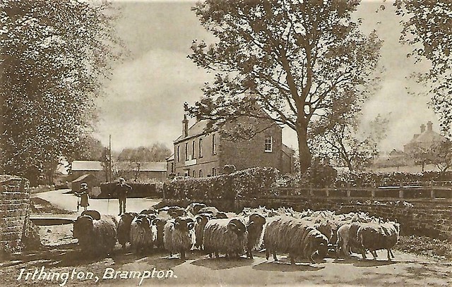
Passing Brampton the Irthing merges with the River Gelt, and soon after meets the River Eden near Warwick Bridge, just north of Wetheral.
Visit the page: River Irthing for references and further details. You can contribute to this article on Wikipedia.
from Geograph (geograph)
Confluence of the Poltross Burn and the River Irthing
Pinned by Simon Cotterill
Co-Curate Page
Lanercost Bridge
- The old red sandstone bridge at Lanercost was built in c.1724. The bridge has two arches, the larger arch spans the River Irthing and the smaller one spans the millstream …
Co-Curate Page
River Eden (Cumbria)
- Overview About the River Eden The River Eden is a major river in Cumbria, which discharges into the Solway Firth. The settlements along the river include Kirkby Stephen, Appleby-in-Westmorland, Bolton, Wetheral, …
Co-Curate Page
Newby East
- Overview Map Street View NEWBY, a township, in the parish of Irthington, union of Brampton, Eskdale ward, E. division of the county of Cumberland, 6 miles (E.N.E.) from Carlisle; containing …
Co-Curate Page
Irthington
- Overview About Irthington Map Street View Irthington is a village in the City of Carlisle district in Cumbria, located about 7 miles north-east of Carlisle city centre and 2 miles …
Co-Curate Page
Upper Denton
- Overview About Upper Denton Map Street View Upper Denton is a hamlet in the Carlisle district of Cumbria, located by the River Irthing, about 6 miles north-east of Brampton and …

Co-Curate Page
Boothby Roman Fort
- There was a Roman fortlet (no visible remains today) at a strategic position overlooking the River Irthing, located to the north-west of Boothby in Cumbria. It was built in the …
Co-Curate Page
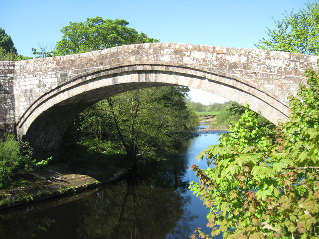
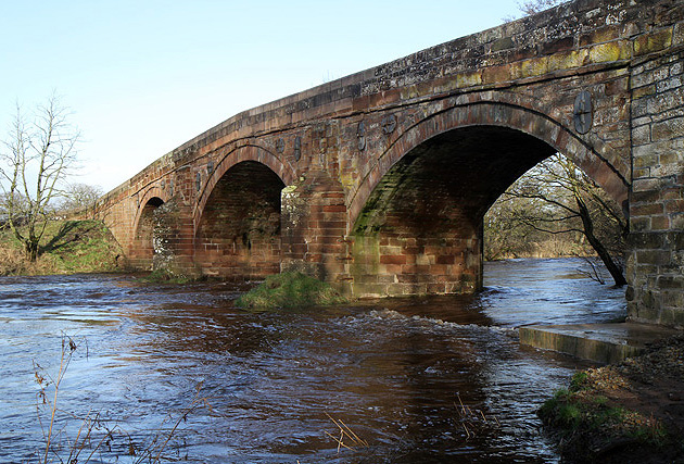
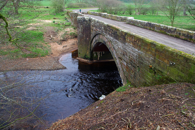
Irthing Bridge, near Brampton
- Overview Map Street View Irthing Bridge carries the A6071 road over the River Irthing, north-west of Brampton in Cumbria. The 3 arched stone bridge was built in c.1729 and altered …
Co-Curate Page
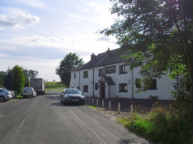
Gilsland Spa
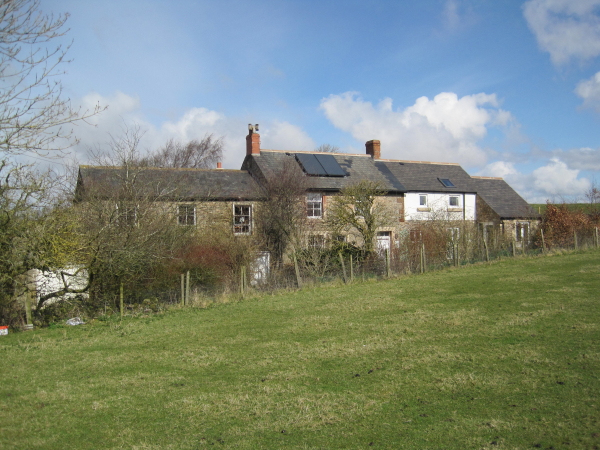
- Overview Map Street View Gilsland Spa is a hamlet situated by a bend in the River Irthing in Cumbria, located by the county border about ¾ mile north of Gilsland, …
Co-Curate Page
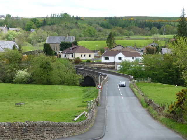
Ruleholme
- Overview Map Street View Ruleholme is a hamlet in Cumbria situated by a bend in the River Irthing and located just off the A689 road, about 2 miles west of …

Co-Curate Page
Church of St Cuthbert, Nether Denton
- Overview Map Street View St Cuthbert's Church is the parish church of Nether Denton and stands on the site of a Roman fort. It is located in an isolated position, …
Co-Curate Page
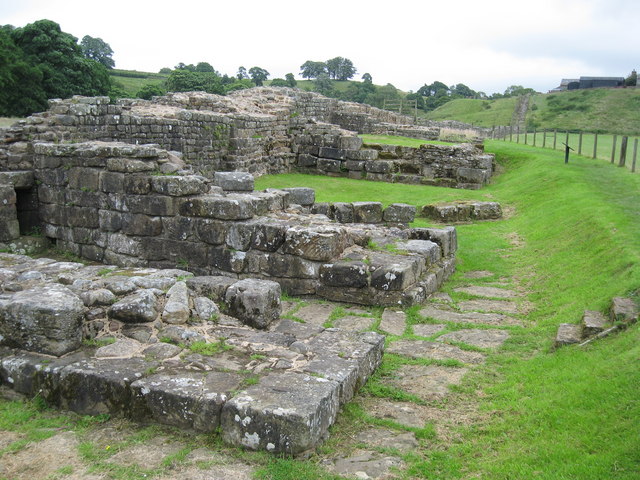
Willowford Roman Bridge
- Overview Map Street View Willowford Bridge was built by the Romans to carry Hadrian's Wall over the River Irthing. It had multiple phases of construction, evolving from a narrow stone …

from Geograph (geograph)
Confluence of the Poltross Burn and the River Irthing
Pinned by Simon Cotterill
Co-Curate Page
Lanercost Bridge
- The old red sandstone bridge at Lanercost was built in c.1724. The bridge has two arches, the larger arch spans the River Irthing and the smaller one spans the millstream …
Co-Curate Page
River Eden (Cumbria)
- Overview About the River Eden The River Eden is a major river in Cumbria, which discharges into the Solway Firth. The settlements along the river include Kirkby Stephen, Appleby-in-Westmorland, Bolton, Wetheral, …
Co-Curate Page
Newby East
- Overview Map Street View NEWBY, a township, in the parish of Irthington, union of Brampton, Eskdale ward, E. division of the county of Cumberland, 6 miles (E.N.E.) from Carlisle; containing …
Co-Curate Page
Irthington
- Overview About Irthington Map Street View Irthington is a village in the City of Carlisle district in Cumbria, located about 7 miles north-east of Carlisle city centre and 2 miles …
Co-Curate Page
Upper Denton
- Overview About Upper Denton Map Street View Upper Denton is a hamlet in the Carlisle district of Cumbria, located by the River Irthing, about 6 miles north-east of Brampton and …
Co-Curate Page
Boothby Roman Fort
- There was a Roman fortlet (no visible remains today) at a strategic position overlooking the River Irthing, located to the north-west of Boothby in Cumbria. It was built in the …
Co-Curate Page
Irthing Bridge, near Brampton
- Overview Map Street View Irthing Bridge carries the A6071 road over the River Irthing, north-west of Brampton in Cumbria. The 3 arched stone bridge was built in c.1729 and altered …
Co-Curate Page
Gilsland Spa
- Overview Map Street View Gilsland Spa is a hamlet situated by a bend in the River Irthing in Cumbria, located by the county border about ¾ mile north of Gilsland, …
Co-Curate Page
Ruleholme
- Overview Map Street View Ruleholme is a hamlet in Cumbria situated by a bend in the River Irthing and located just off the A689 road, about 2 miles west of …
Co-Curate Page
Church of St Cuthbert, Nether Denton
- Overview Map Street View St Cuthbert's Church is the parish church of Nether Denton and stands on the site of a Roman fort. It is located in an isolated position, …