Topics > Northumberland > Civil Parishes in Northumberland > Belsay Civil Parish
Belsay Civil Parish
Parish boundaries may have changed - for the latest map see the Parish Council or Northumberland County Council.
About the Parish
| Settlements: | Belsay, Bolam, Bradford, East Newham, Harnham, Huntlaw, Middle Newham, West Newham |
| Population: |
497 (2021 Census) 518 (2011 Census) 436 (2001 Census) |
| Area: | 46.6 km2 |
| Parish Council: | Belsay Parish Council |
| Unitary Authority: | Northumberland County Council |
Historical |
|
|
Ancient Townships (in modern CP area) |
Trewick (Bolam Parish) Bolam (Bolam Parish) Bolam-Vicarage (Bolam Parish) Gallow-Hill (Bolam Parish) Belsay (Bolam Parish) Bradford (Bolam Parish) Harnham (Bolam Parish) Shortflatt (Bolam Parish) Bitchfield (Stamfordham Parish) Black Heddon (Stamfordham Parish) Wallridge (Stamfordham Parish) Newham (Whalton Parish) - included East, Middle & West Newham + Huntlaw Most townships became civil parishes in their own right in 1866 (see below). |
| Ancient Parish: |
Whalton Parish (St Mary Magdalene) Ancient parishes refer to the parishes before the split between ecclesiastical (church) and civil parishes in the 19th century. They had a parish church and often were composed of multiple townships and chapelries. In many cases, townships and parishes were originally based on the territory of manors from the feudal system during medieval times. Civil parishes were created following the Poor Law Amendment Act 1866, in which Church of England parishes, extra-parochial areas, townships and chapelries, became "civil parishes" which could set their own poor rate (tax). Then the reforms of Local Government Act 1894 established elected civil parish councils (or parish meetings for parishes with less than 300 residents) and created urban and rural districts. Boundaries of parishes and civil parishes may have changed over time. |
| Ancient District: |
Castle (ward) - West Division |
| Poor Law Union: |
Castle Ward Poor Law Union, formed in 1836. Castle Ward Poor Law Union Workhouse intitally used an existing workhouse at Heddon-on-the-Wall; Heddon Square, built in 1796, which had been previously used to house mine workers and Huguenot refugees (French Protestants who fled from the French Catholic government in the 17th century). A new and larger workhouse, designed by John and Benjamin Green, was built in Ponteland in 1848, which could house 120 inmates. This was later extended. Under the Poor Law Amendment Act of 1834 parishes were grouped into Unions, each of which had to build a workhouse if they did not already have one. It ended the old system of locally provided poor relief which had come under strain as numbers out of work grew, following increasing mechanisation of agriculture and the economic downturn after the Napoleonic Wars, along with changing social attitudes. The workhouse provided those unable to support themselves financially with accommodation and work. Inmates were generally segregated into men, women, boys and girls. The workhouse system was abolished by the Local Government Act 1929, but many workhouses lived on as ‘Public Assistance Institutions’ until the National Assistance Act 1948. |
|
District Council: |
Castle Ward Rural District, formed in 1894. The district was abolished in 1974, following the Local Government Act 1972. Castle Morpeth District Council (1974 - 2009) The district council was abolished when Northumberland became a unitary authority on the 1st of April 2009. |
|
Major Boundary Changes |
1955 - Belsay CP was enlarged by the abolition of Bitchfield Civil Parish 1955 - Belsay CP was enlarged by the abolition of Blach Heddon Civil Parish 1955 - Belsay CP was enlarged by the abolition of Bolam Civil Parish 1955 - Belsay CP was enlarged by the abolition of Bolam Vicarage Civil Parish 1955 - Belsay CP was enlarged by the abolition of Bradford Civil Parish 1955 - Belsay CP was enlarged by the abolition of Gallowhill Civil Parish 1955 - Belsay CP was enlarged by the abolition of Harnham Civil Parish 1955 - Belsay CP was enlarged by the abolition of Newham Civil Parish 1955 - Belsay CP was enlarged by the abolition of Shortflatt Civil Parish 1955 - Belsay CP was enlarged by the abolition of Trewick Civil Parish |
|
County / Unitary Authority |
The ancient county of Northumberland was enlarged following the Counties (Detached Parts) Act 1844; Bedlingtonshire, Norhamshire, Islandshire, the Farne Islands and Monks' House all became part of Northumberland. Up to then they had been enclaves of County Durham. Northumberland County Council formed 1889. Major boundary changes came into effect on the 1st April 1974. This followed the Local Government Act 1972, which formed the non-metropolitan county of Northumberland. This excluded the City of Newcastle upon Tyne and North Tyneside, which up to then had been part of Northumberland, but now became part of the newly formed Tyne & Wear. Northumberland County Council became a unitary authority on the 1st of April 2009. |
See also: ![]() Historic Buildings and Monuments in Belsay Civil Parish. Note: listed buildings are generally the responsibility of the county council / unitary authority, rather than the parish council.
Historic Buildings and Monuments in Belsay Civil Parish. Note: listed buildings are generally the responsibility of the county council / unitary authority, rather than the parish council.
Extracts from historical directories on this Website: Bolam Parish, 1848
Co-Curate Page
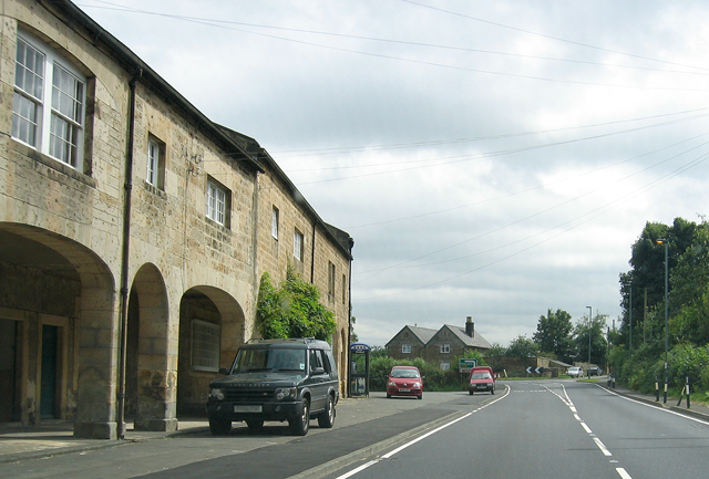
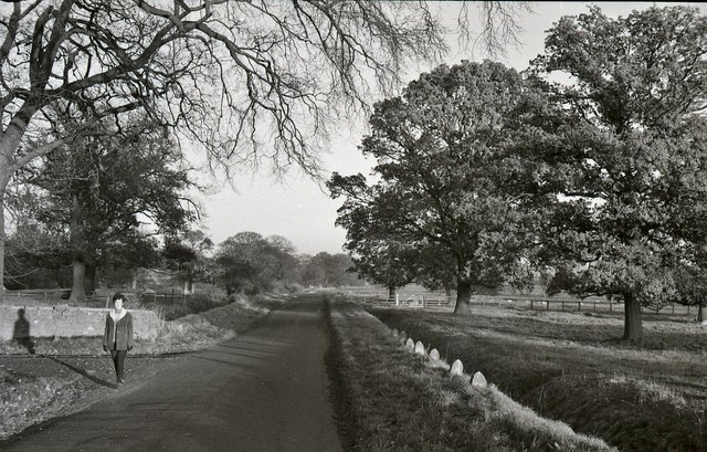
Belsay
- Overview About Belsay Map Street View Belsay, Northumberland Belsay is a village in Northumberland, England. It is situated about 5 miles from Ponteland on the A696 which links the village …
Co-Curate Page
Black Heddon
- Overview Map About Black Heddon Street View Black Heddon is a village in Northumberland, located 2.5 miles South West of Belsay and just under 3 miles North of Stamfordham on …
Co-Curate Page
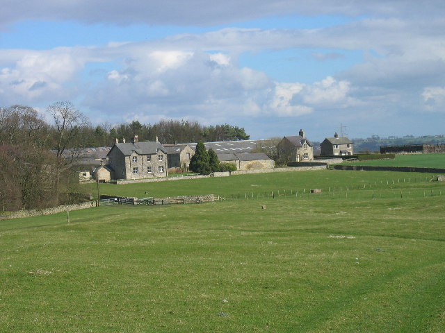
Bolam
- Overview Map Bolam in Northumberland is in the civil parish of Belsay. It was once a thriving village with its own market and the permission to hold fairs.[1] However, it …
Co-Curate Page
Bradford (nr Bolam)
- Bradford is a hamlet near Bolam in Northumberland (not to be confused with Bradford near Bamburgh, also in Northumberland). Sometimes referred to as South Bradford. BRADFORD, a township, in the …

Co-Curate Page
Wallridge
- Overview Map Street View Wallridge is a hamlet in Northumberland, located about 3 miles north-west of Stamfordham and 3 miles west of Belsay. It is the site of a deserted …
Co-Curate Page
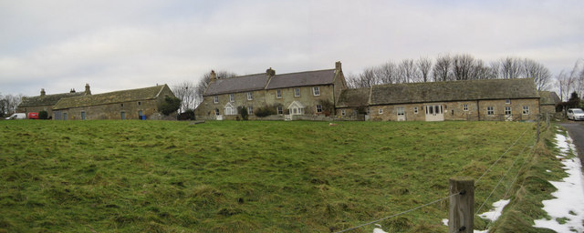
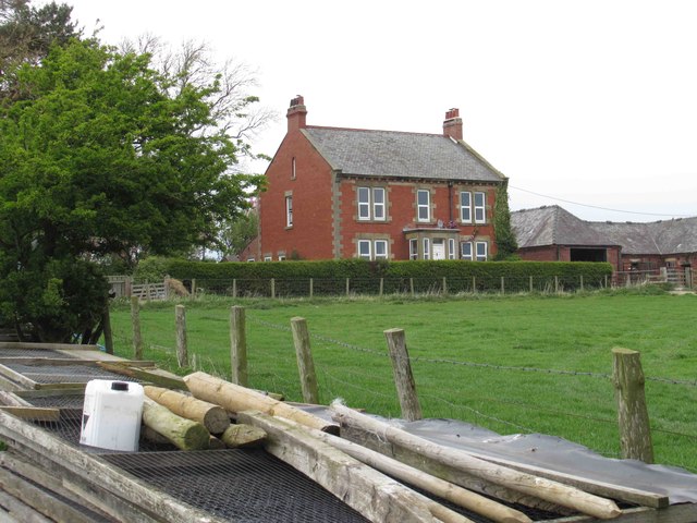
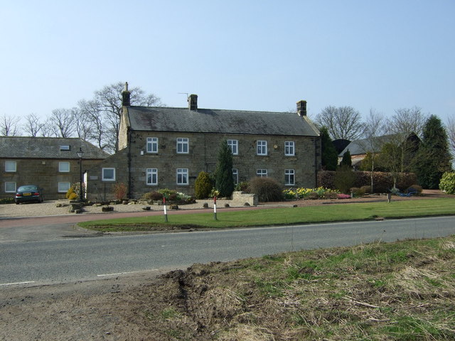
Harnham
- Overview Map Street View Harnham is a hamlet in Northumberland, located about 8 miles south-west of Morpeth and 2 miles north-west of Bolam. Harnham Hall here dates from the 16th …
Co-Curate Page
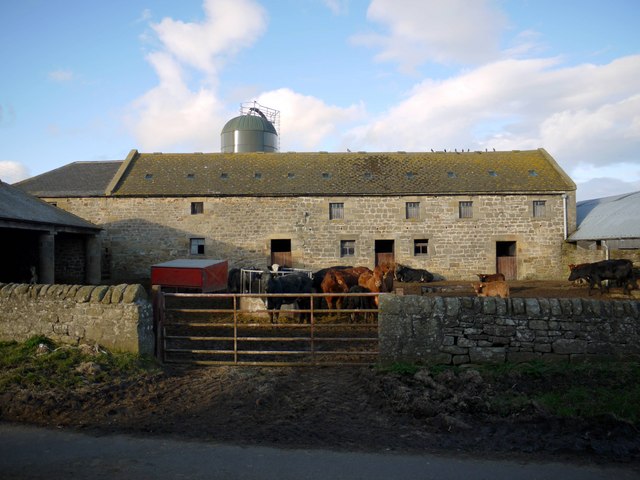
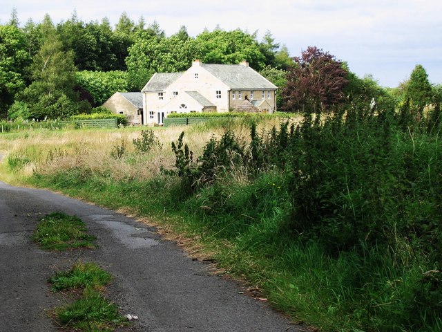
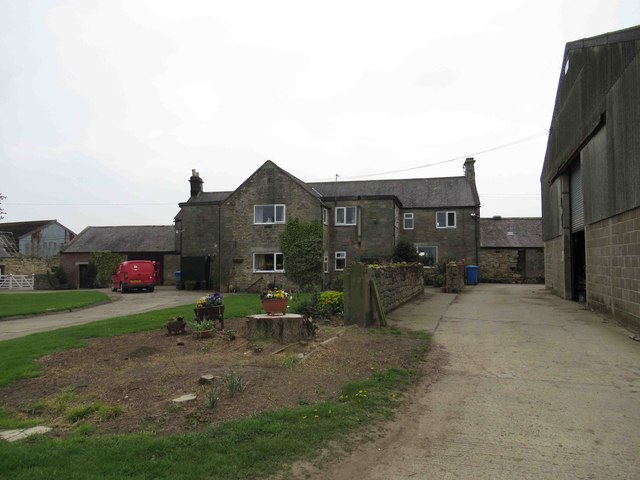
Middle Newham
- Overview Map Street View Middle Newham is a farm / hamlet in Northumberland, located about 1½ miles south of Belsay. In medieval times, there was a more substantive village here, …
Co-Curate Page
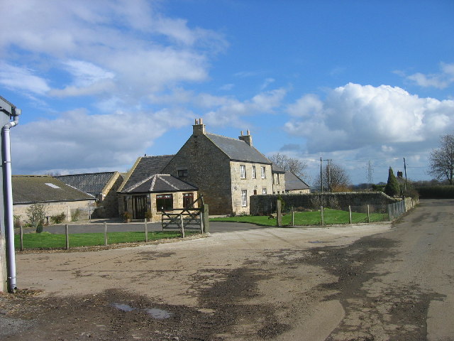
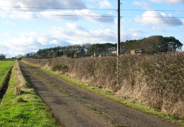
East Trewick
- Overview Map Street View East Trewick is a farm, located about ½ mile north-east of Belsay in Northumberland. The medieval settlement of Trewick was located here, first documented in the …
Co-Curate Page
Nun Hill, Belsay
- Overview Map Street View Nun Hill (aka Nunhill) is a farm, located off the A696 road, about 3½ miles north-west of Ponteland and 1½ miles south-east of Belsay. Just north …
Co-Curate Page
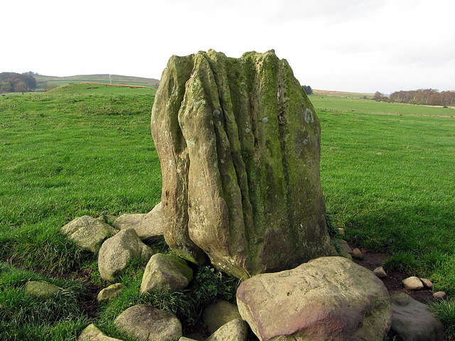
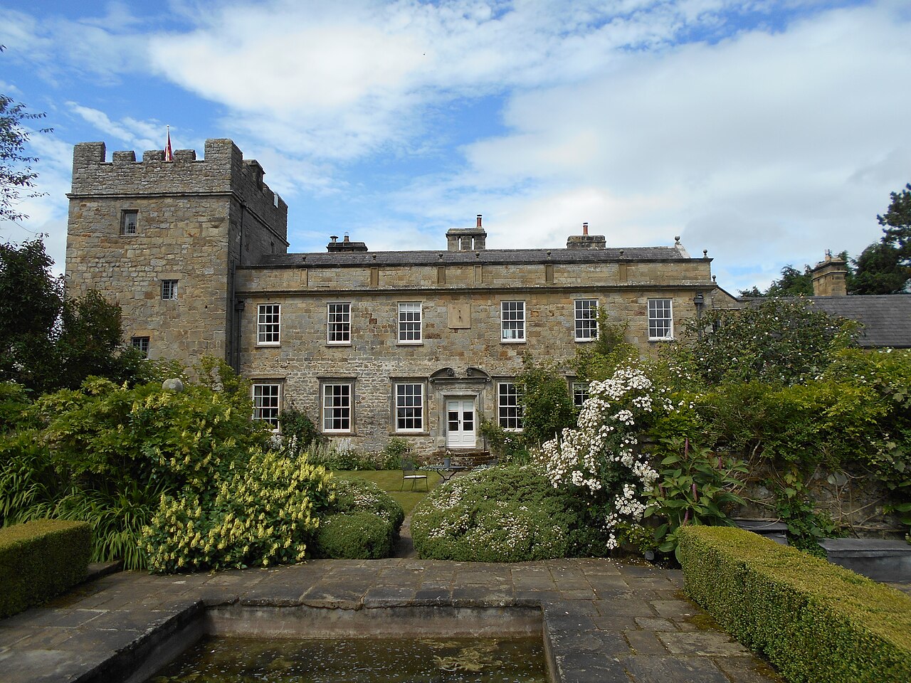
West Bitchfield
- Overview About West Btichfield Tower Map Bitchfield Tower or West Bitchfield Tower is a 15th-century medieval pele tower near Belsay, Northumberland, England. It is Grade I listed on the …

Co-Curate Page
Belsay
- Overview About Belsay Map Street View Belsay, Northumberland Belsay is a village in Northumberland, England. It is situated about 5 miles from Ponteland on the A696 which links the village …
Co-Curate Page
Black Heddon
- Overview Map About Black Heddon Street View Black Heddon is a village in Northumberland, located 2.5 miles South West of Belsay and just under 3 miles North of Stamfordham on …
Co-Curate Page
Bolam
- Overview Map Bolam in Northumberland is in the civil parish of Belsay. It was once a thriving village with its own market and the permission to hold fairs.[1] However, it …
Co-Curate Page
Bradford (nr Bolam)
- Bradford is a hamlet near Bolam in Northumberland (not to be confused with Bradford near Bamburgh, also in Northumberland). Sometimes referred to as South Bradford. BRADFORD, a township, in the …
Co-Curate Page
Wallridge
- Overview Map Street View Wallridge is a hamlet in Northumberland, located about 3 miles north-west of Stamfordham and 3 miles west of Belsay. It is the site of a deserted …
Co-Curate Page
Harnham
- Overview Map Street View Harnham is a hamlet in Northumberland, located about 8 miles south-west of Morpeth and 2 miles north-west of Bolam. Harnham Hall here dates from the 16th …
Co-Curate Page
Middle Newham
- Overview Map Street View Middle Newham is a farm / hamlet in Northumberland, located about 1½ miles south of Belsay. In medieval times, there was a more substantive village here, …
Co-Curate Page
East Trewick
- Overview Map Street View East Trewick is a farm, located about ½ mile north-east of Belsay in Northumberland. The medieval settlement of Trewick was located here, first documented in the …
Co-Curate Page
Nun Hill, Belsay
- Overview Map Street View Nun Hill (aka Nunhill) is a farm, located off the A696 road, about 3½ miles north-west of Ponteland and 1½ miles south-east of Belsay. Just north …