Topics > Northumberland > Civil Parishes in Northumberland > Belsay Civil Parish > Bolam Parish, 1848
Bolam Parish, 1848
BOLAM (St. Andrew), a parish, in the union, and partly in the W. division, of Castle ward, but chiefly in the W. division of Morpeth ward and N. E. division of Tindale ward, N. and S. divisions of Northumberland; comprising the townships of Trewick, Bolam, Bolam-Vicarage, Gallow-Hill, Belsay, Bradford, Harnham, and Shortflatt; and containing 603 inhabitants, of whom 66 are in the township of Bolam, and 17 in that of Bolam-Vicarage, 9½ miles (W.S.W.) from Morpeth. It derives its name from being situated on a bol, or high swell of land. The old town of Bolam had its grant of a market and fair from Edward I., and consisted of a castle, a church, and two rows of houses running from east to west: the tower of the castle was standing some years since; and on the commanding hill near Bolam House, the seat of Lord Decies, where it stood, are intrenchments of a period anterior to the Conquest. The parish comprises upwards of 7,000 acres, of which 1,116 are in the township of Bolam. A large portion of the soil is a dark earth resting on clay, and there are fine portions of a sandy loam with a substratum of freestone, and also coal and limestone; in the township of Bolam a great part is rich grass land, interspersed with many thriving plantations, and a small but picturesque lake has been formed by the noble owner. The living is a vicarage, valued in the king's books at £6. 13. 4., and in the patronage of the Crown: the great tithes have been commuted for £247. 3. 8., and the vicarial for £72. 10. 6.; the glebe consists of about 130 acres. The township of Bolam-Vicarage comprises only the glebe land, lying on the eastern side of the church, which is of the Norman style. A branch of the Watling-street, called the "Devil's Causeway," may be distinctly traced about a mile westward; and near it are two large barrows, and a stone pillar of rude form, with a tumulus which, on being opened, was found to contain a coffin. On an intrenched rock, on the north-east side of Bolam moor, is a British camp.
Extract from: A Topographical Dictionary of England comprising the several counties, cities, boroughs, corporate and market towns, parishes, and townships..... 7th Edition, by Samuel Lewis, London, 1848.
Notes:
This entry relates to the "Ancient Parish" of Bolam in Northumberland (ancient parishes refer to the parishes before the split between ecclesiastical and civil parishes in the 19th century).
Following the Poor Law Amendment Act 1866, the townships each became Civil Parishes. As such Bolam Civil Parish covered a much smaller geographical area compared to the ancient parish. Then in 1955, these civil parishes (excluding Belsay) were abolished. The former civil parishes of Bolam, Bolam Vicarage, Gallowhill, Bradford, Harnham, Shortflatt, and Trewick were all absorbed into Belsay Civil Parish. At the same time, in 1955, Belasay civil parish also absorbed Black Heddon, Wallridge and Newham parishes.
Co-Curate Page
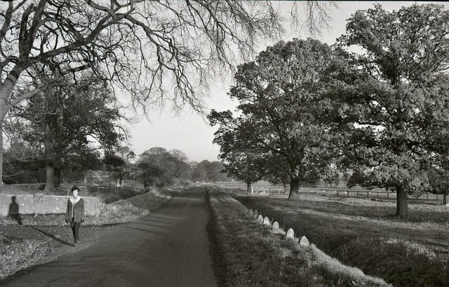
Bolam
- Overview Map Bolam in Northumberland is in the civil parish of Belsay. It was once a thriving village with its own market and the permission to hold fairs.[1] However, it …
Co-Curate Page
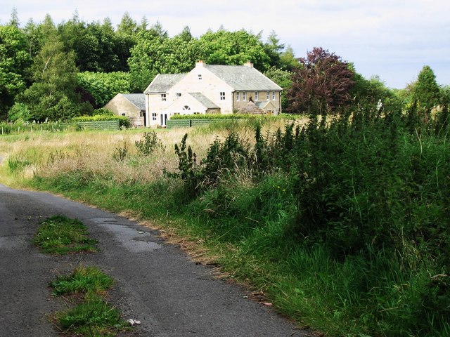
Bradford (nr Bolam)
- Bradford is a hamlet near Bolam in Northumberland (not to be confused with Bradford near Bamburgh, also in Northumberland). Sometimes referred to as South Bradford. BRADFORD, a township, in the …
Co-Curate Page
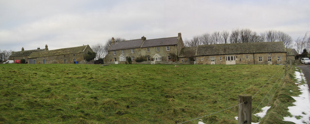
Gallowhill
- Overview Map GALLOW-HILL, a township, in the parish of Bolam, union of Castle ward, W. division of Morpeth ward, N. division of Northumberland, 8¾ miles (W.S.W.) from Morpeth; containing 41 …
Co-Curate Page
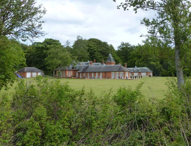
Harnham
- Overview Map Street View Harnham is a hamlet in Northumberland, located about 8 miles south-west of Morpeth and 2 miles north-west of Bolam. Harnham Hall here dates from the 16th …
Co-Curate Page
Belsay
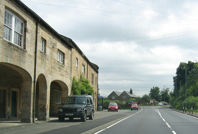
- Overview About Belsay Map Street View Belsay, Northumberland Belsay is a village in Northumberland, England. It is situated about 5 miles from Ponteland on the A696 which links the village …

Co-Curate Page
Bolam
- Overview Map Bolam in Northumberland is in the civil parish of Belsay. It was once a thriving village with its own market and the permission to hold fairs.[1] However, it …
Co-Curate Page
Bradford (nr Bolam)
- Bradford is a hamlet near Bolam in Northumberland (not to be confused with Bradford near Bamburgh, also in Northumberland). Sometimes referred to as South Bradford. BRADFORD, a township, in the …
Co-Curate Page
Gallowhill
- Overview Map GALLOW-HILL, a township, in the parish of Bolam, union of Castle ward, W. division of Morpeth ward, N. division of Northumberland, 8¾ miles (W.S.W.) from Morpeth; containing 41 …
Co-Curate Page
Harnham
- Overview Map Street View Harnham is a hamlet in Northumberland, located about 8 miles south-west of Morpeth and 2 miles north-west of Bolam. Harnham Hall here dates from the 16th …


