Topics > Northumberland > Nun Hill, Belsay
Nun Hill, Belsay
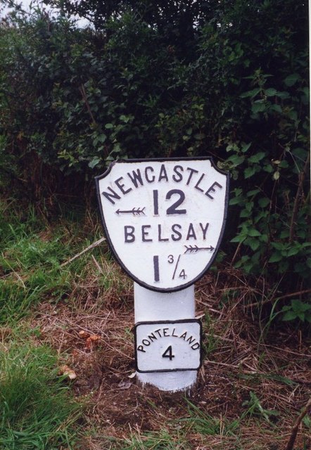
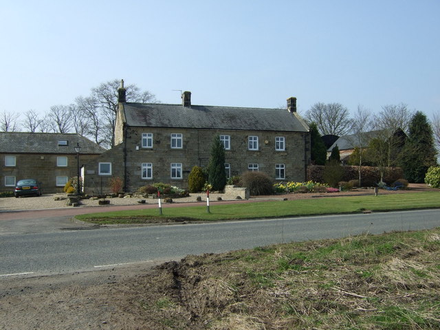
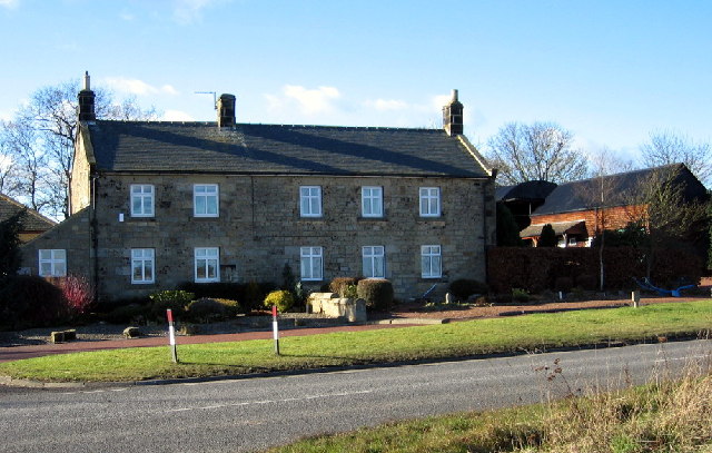
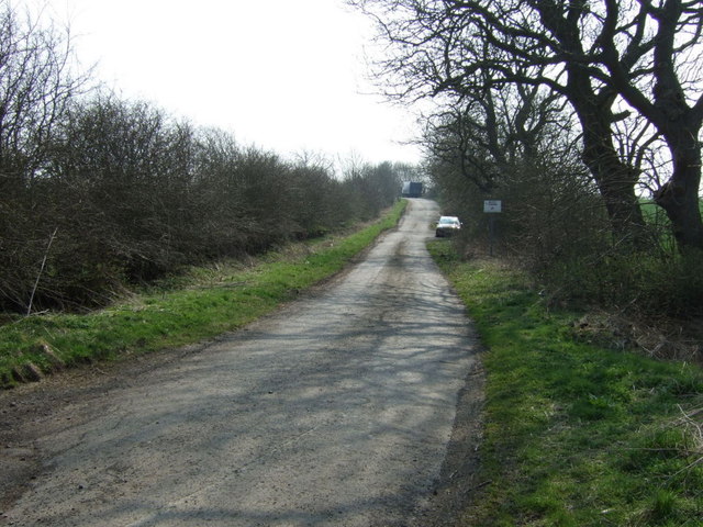
Nun Hill (aka Nunhill) is a farm, located off the A696 road, about 3½ miles north-west of Ponteland and 1½ miles south-east of Belsay. Just north of the farm is an old milepost; there is also a long layby which was part of the old route of the A696. March Burn (Blyth) flows to the south of the farm. To the west of the farm are the remains of an enclosure, thought to be from the Iron Age or Roman period.[1] Nun Hill is part of Belsay Civil Parish.

from https://keystothepast.info/se…
Nun Hill Iron Age or Roman enclosure (Belsay)
- "An Iron Age or Roman period enclosure is visible as an earthwork on air photographs at NZ 1137 7715. Only the southern part of the enclosure can be seen, it …
Added by
Simon Cotterill
from https://keystothepast.info/se…
Well south of Nun Hill Farm (Belsay)
- "This well is noted in early mapping of the area; it is unknown whether this was artificial or a natural feature. Either of these possibilities could have supplied the inhabitants …
Added by
Simon Cotterill

from https://keystothepast.info/se…
Nun Hill Iron Age or Roman enclosure (Belsay)
- "An Iron Age or Roman period enclosure is visible as an earthwork on air photographs at NZ 1137 7715. Only the southern part of the enclosure can be seen, it …
Added by
Simon Cotterill
from https://keystothepast.info/se…
Well south of Nun Hill Farm (Belsay)
- "This well is noted in early mapping of the area; it is unknown whether this was artificial or a natural feature. Either of these possibilities could have supplied the inhabitants …
Added by
Simon Cotterill