Topics > Northumberland > Black Heddon
Black Heddon
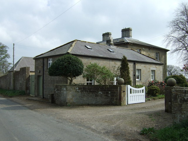
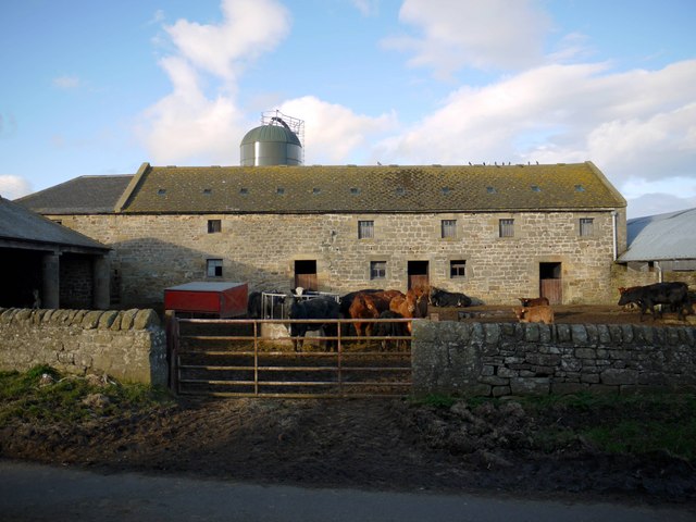
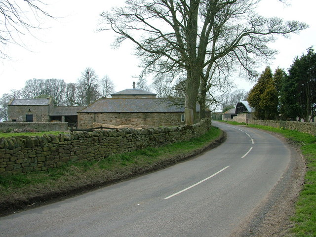
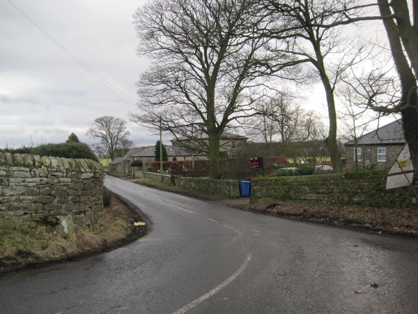
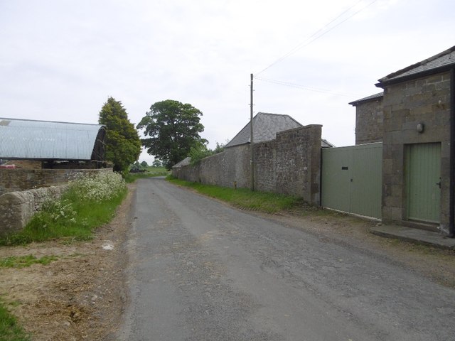
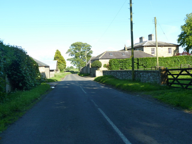
Black Heddon is a village in Northumberland, located 2.5 miles South West of Belsay and just under 3 miles North of Stamfordham on the B6309 road. Historically, Black Heddon was a township in the ancient Parish of Stamfordham. Black Heddon Hall is the former manor house. Today, Black Heddon forms part of Belsay Civil Parish.
HEDDON, BLACK, a township, in the parish of Stamfordham, union of Castle ward, N.E. division of Tindale ward, S. division of Northumberland, 2¾ miles (N.) from Stamfordham; containing 73 inhabitants. The township comprises 1,484 acres. It includes a great part of a range of hills formed of millstone-grit rock, on the highest of which was a Druidical circle, whose centre stone still remains; and from this hill, called Black Heddon Law, is a very extensive view, reaching into the counties of Durham, Cumberland, and Roxburgh, as well as over a long course of the sea.
Extract from: A Topographical Dictionary of England comprising the several counties, cities, boroughs, corporate and market towns, parishes, and townships..... 7th Edition, by Samuel Lewis, London, 1848.
Black Heddon is a village in Northumberland, in England. It is situated to the north-west of Newcastle, between Stamfordham and Belsay.
According to local legend, the village was once haunted by a ghost named Silky, who used to jump onto travellers' horses. In nearby Belsay is a tree overlooking a waterfall which is known as Silky's Chair.
Governance
Black Heddon is in the parliamentary constituency of Berwick-upon-Tweed.
Visit the page: Black Heddon for references and further details. You can contribute to this article on Wikipedia.
from Geograph (geograph)
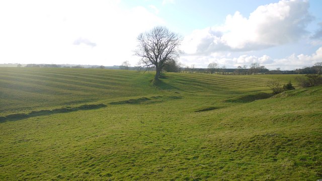
Old boundaries and ridge and furrow in pasture west of Black Heddon
Pinned by Simon Cotterill

from http://www.mysteriousbritain.…
Black Heddon
- "...According to The Haunted Homes and Family Traditions of Great Britain
By John Ingram (1897):
Black Heddon, a quiet village near Stamfordham, in Northumberland, acquired an unenviable notoriety some fifty …
Added by
Simon Cotterill
Co-Curate Page
Belsay
- Overview About Belsay Map Street View Belsay, Northumberland Belsay is a village in Northumberland, England. It is situated about 5 miles from Ponteland on the A696 which links the village …

from Geograph (geograph)
Old boundaries and ridge and furrow in pasture west of Black Heddon
Pinned by Simon Cotterill
from http://www.mysteriousbritain.…
Black Heddon
- "...According to The Haunted Homes and Family Traditions of Great Britain
By John Ingram (1897):
Black Heddon, a quiet village near Stamfordham, in Northumberland, acquired an unenviable notoriety some fifty …
Added by
Simon Cotterill
Co-Curate Page
Belsay
- Overview About Belsay Map Street View Belsay, Northumberland Belsay is a village in Northumberland, England. It is situated about 5 miles from Ponteland on the A696 which links the village …