Topics > Northumberland > Civil Parishes in Northumberland > Haydon Civil Parish
Haydon Civil Parish
Parish boundaries may have changed - for the latest map see the Parish Council or Northumberland County Council.
About the Parish
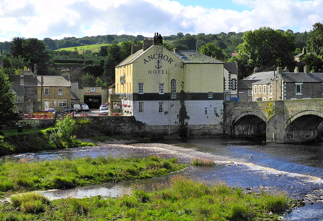
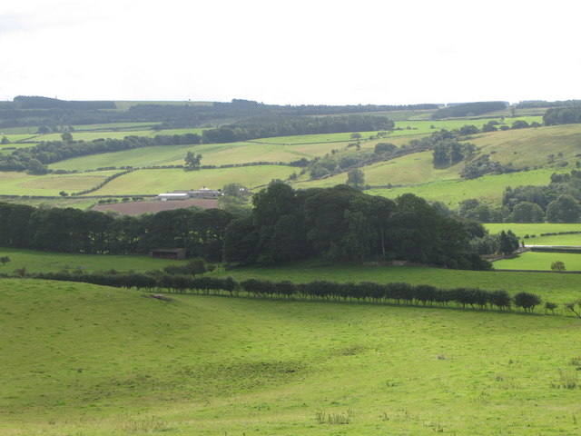
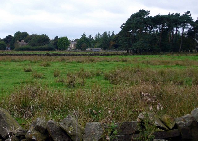
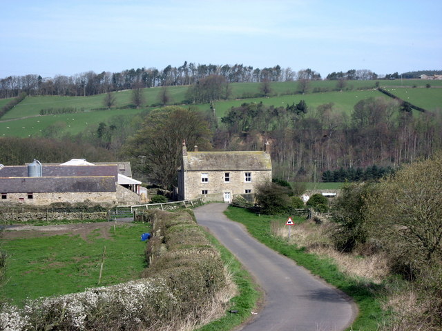
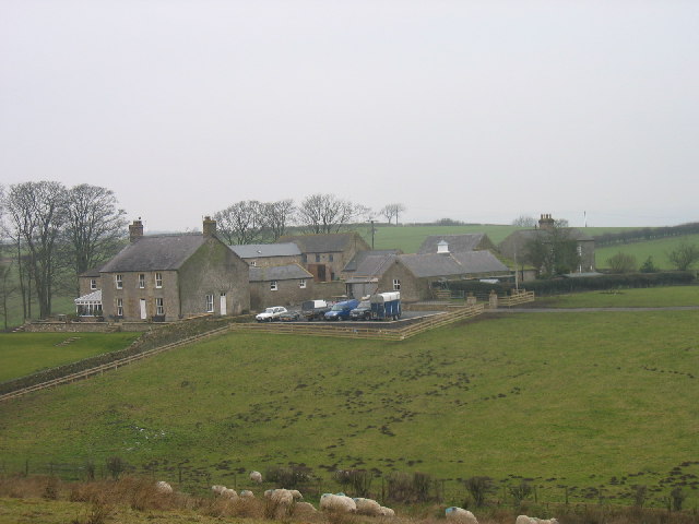
Haydon Civil Parish in Northumberland is located about 3 miles west of Hexham. The parish covers a wide geographical area and is centred on Haydon Bridge, the largest settlement in the parish, which is located on a gental meander on the River South Tyne. The west of the parish is bounded by the River Allen and the north of the parish streches up to Hadrian's Wall. The A69 Newcastle-Carlisle road and the A686 Haydon Bridge-Alston road intersect the parish.
| Settlements: |
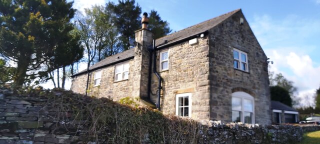
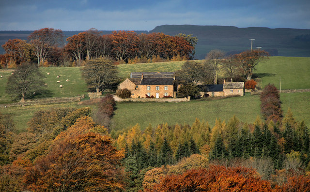
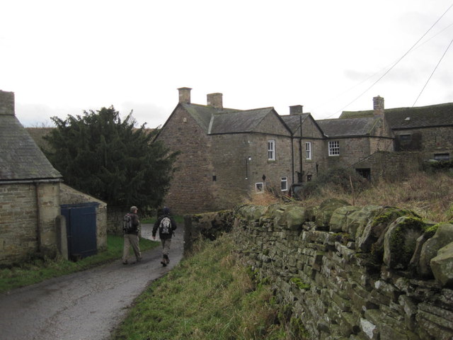
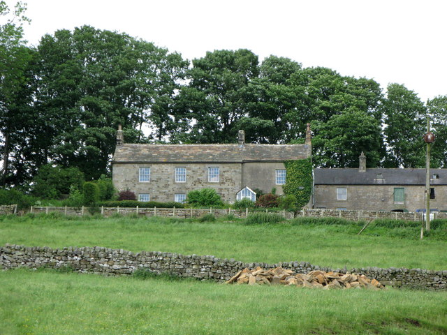
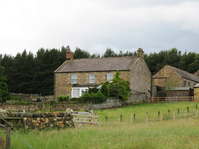
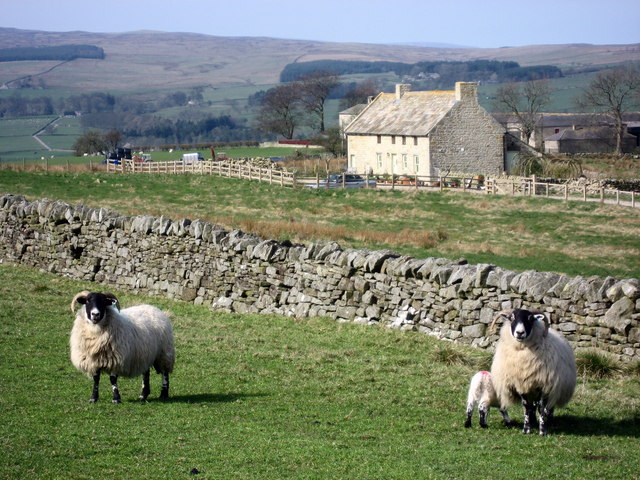
Villages: Haydon Bridge, Langley Hamlets / farms include: Bishopside, Brokenhaugh, Chesterwood, Coastley, East Deanraw, Elrington, Esp Hill, Grindon, Harsondale, Lady Shield, Lipwood, Morallee, New Alston, Seldom Seen, Sewingshields, Staward, Stublick, Tedcastle, Threepwood, Tofts, West Deanraw, Wharmley, Whinnetley (this is not an exhaustive list). |
| Population: |
2,378 (2021 Census) 2,184 (2011 Census) 2,027 (2001 Census) |
| Area: | 71.4 km² |
| Parish Council: | Haydon Parish Council |
| Unitary Authority: | Northumberland County Council |
Historical |
|
| Ancient Township / Chapelry: |
Haydon was a parochial chapelry. Much of the land was the property of the Commissioners of Greenwich Hospital. In the 19th century it was divided, for highway purposes, into the quarters or divisions of Brokenheugh, Deanraw, Ellerington and Lipwood. Population: 1,084 in 1801, rising to 2,085 in 1851. Gazetteers (directories):
Townships became civil parishes in their own right in 1866 (see below). |
| Ancient Parish: |
Ancient parishes refer to the parishes before the split between ecclesiastical (church) and civil parishes in the 19th century. They had a parish church and often were composed of multiple townships and chapelries. In many cases, townships and parishes were originally based on the territory of manors from the feudal system during medieval times. Civil parishes were created following the Poor Law Amendment Act 1866, in which Church of England parishes, extra-parochial areas, townships and chapelries, became "civil parishes" which could set their own poor rate (tax). The reforms of Local Government Act 1894 established elected civil parish councils (or parish meetings for parishes with less than 300 residents) and created urban and rural districts. Boundaries of parishes and civil parishes may have changed over time. |
| Ancient District: |
Tynedale (ward) |
| Poor Law Union: |
Hexham Poor Law Union, formed in 1836. Hexham Union Workhouse was located on Dean Street in Hexham, opening in 1839. This replaced smaller existing workhouses in Corbridge, Hexham and Horsley. Under the Poor Law Amendment Act of 1834 parishes were grouped into Unions, each of which had to build a workhouse if they did not already have one. It ended the old system of locally provided poor relief which had come under strain as numbers out of work grew, following increasing mechanisation of agriculture and the economic downturn after the Napoleonic Wars, along with changing social attitudes. The workhouse provided those unable to support themselves financially with accommodation and work. Inmates were generally segregated into men, women, boys and girls. The workhouse system was abolished by the Local Government Act 1929, but many workhouses lived on as ‘Public Assistance Institutions’ until the National Assistance Act 1948. |
|
Major Boundary Change: |
Haydon Civil Parish expanded by 2,153 acres, gaining over half of Hexhamshire West Quarter Civil Parish, when it was abolished in April 1955. At that time, Haydon also gained 1,116 acres from neigbouring Newbrough Civil Parish. |
|
District Council: |
Hexham Rural District (1894 - 1974). The district was abolished in 1974, following the Local Government Act 1972. Tynedale District (1974 - 2009). Tynedale covered the area of 5 former districts (Hexham Urban District, Prudhoe Urban District, Bellingham Rural District, Haltwhistle Rural District, and Hexham Rural District). The borough council was abolished when Northumberland County Council became a unitary authority on the 1st of April 2009. |
|
County / Unitary Authority |
In 1572 Parliament passed a bill annexing Hexham and Hexamshire to the County of Northumberland. The ancient county of Northumberland was enlarged following the Counties (Detached Parts) Act 1844; Bedlingtonshire, Norhamshire, Islandshire, the Farne Islands and Monks' House all became part of Northumberland. Up to then they had been enclaves of County Durham. Northumberland County Council formed 1889. Major boundary changes came into effect on the 1st April 1974. This followed the Local Government Act 1972, which formed the non-metropolitan county of Northumberland. This excluded the City of Newcastle upon Tyne and North Tyneside, which up to then had been part of Northumberland, but now became part of the newly formed Tyne & Wear. Northumberland County Council became a unitary authority on the 1st of April 2009. |
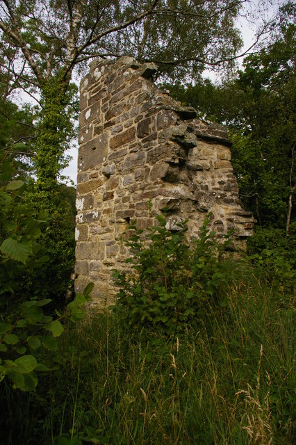
See also: ![]() Historic Buildings and Monuments in Haydon Civil Parish. Note: listed buildings are generally the responsibility of the county council / unitary authority, rather than the parish council.
Historic Buildings and Monuments in Haydon Civil Parish. Note: listed buildings are generally the responsibility of the county council / unitary authority, rather than the parish council.
Co-Curate Page
Haydon Bridge
- Overview About Haydon Bridge Map Street View OS Map Extract showing Haydon Bridge, suveyed 1860, CC-BY NLS Haydon Bridge is a village in Northumberland, England, with a population of about …

Co-Curate Page
Langley
- Overview About Langley Map Street View Langley-on-Tyne is a small village located about 6 miles west of Hexham and 2 miles south-west of Haydon Bridge. Langley, or more correctly Langley-on-Tyne, …

from http://www.haydon-bridge.co.u…
Haydon Parish Council
- "....is made up of 11 councillors. The Council has the power to provide bus shelters, public clocks, cemeteries, land for recreation, and to comment on planning applications among other things. …
Added by
Simon Cotterill
Co-Curate Page
Lipwood
- Overview Map Street View Lipwood is a hamlet in Northumberland, located about a mile west of Haydon Bridge. It consists of a small number of dwellings at Lipwood Hall, Middle …
Co-Curate Page
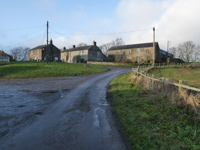
Staward
- Staward is a former manor in the Allendale area of Northumberland. Distriuted over a wide geographical area, it includes High Staward Farm, Staward Manor (aka Low Staward), a few houses …
Co-Curate Page
Harsondale
- Overview Map Harsondale is a farm in the Allendale area of Northumberland, situated to the north of Harsondale Burn, about 7½ miles west of Hexham. Harsdale farmouse dates from the …
Co-Curate Page
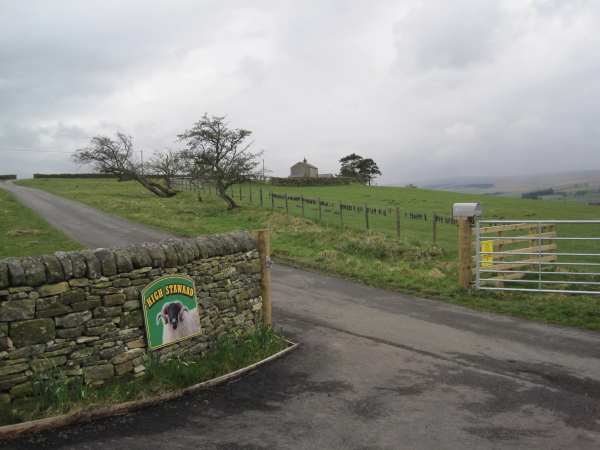
High Staward
- Overview Map Street View High Staward farmhouse dates from the early 19th century. it is a Grade II* listed building on the National Heritage List for England. Contemporary to the …
Co-Curate Page
Brokenheugh
- Brokenheugh is a hamelt in Northumberland located about 6 miles north-west of Hexham. The settlement includes of East Brokenheugh Farm, West Brokenheugh Farm, Brokenheugh Hall and a former lodge. BROKENHAUGH, …
Co-Curate Page
Tofts, Haydon Bridge
- Tofts is a hamlet located north of Haydon Bridge in Northumberland. Tofts Farm is located at the end of Tofts Bank, the road which climbs the hill from North Bank …
Co-Curate Page
New Alston, Haydon Bridge
- Overview Map Street View New Alston is a hamlet in Northumberland, located about 1 mile north of Haydon Bridge. It is part of Haydon Civil Parish.
Co-Curate Page
Morralee, Northumberland
- Overview Map Street View Morralee is located on the south banks of the River South Tyne, a short distance east of the river's confluence with the River Allen, and about …
Co-Curate Page
East Deanraw
- Overview Map East Deanraw is a farm/hamlet loacted by Deanraw Burn, about 7 miles west of Hexham in Northumberland. It is part of Haydon Civil Parish.
Co-Curate Page
West Deanraw
- Overview Map West Deanraw is a farm/hamlet loacted by Deanraw Burn, about 7 miles west of Hexham in Northumberland. It is part of Haydon Civil Parish.

Co-Curate Page
Elrington, Haydon
- Overview Map Street View Elrington is a hamlet in Haydon Civil Parish, Northumberland, located about 1½ miles south-east of Haydon Bridge. It is centred arround Elrington Hall Farm, there are …

Co-Curate Page
Threepwood
- Overview Map Street View Threepwood is a hamlet, located about ¾mile south-east of Haydon Bridge, in Northumberland. It is situated to the west of Threepwood Burn and Dinnetley Woods. The …

Co-Curate Page
Bishopside, Haydon
- Overview Map Bishopside is a farm in Northumberland, located about a mile north-west of Catton and 4 miles south-west of Haydon Bridge. It is situated by Kiln Burn, which joins …
Co-Curate Page
Sewingshields
- Overview Map Street View Sewingshields is a hamlet, located by Hadrian's Wall, about 4 miles north of Haydon Bridge in Northumberland. It was common for stone from the Roman wall …
Co-Curate Page
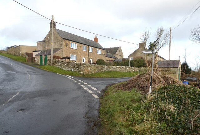
Grindon, near Haydon Bridge
- Overview Map Street View Grindon is a farm / hamlet near Hadrian's Wall and about 5½ miles north of Haydon Bridge. Whellan's 1855 directory of Northumberland lists Grindon under Haydon …

Co-Curate Page
Haydon Bridge
- Overview About Haydon Bridge Map Street View OS Map Extract showing Haydon Bridge, suveyed 1860, CC-BY NLS Haydon Bridge is a village in Northumberland, England, with a population of about …
Co-Curate Page
Langley
- Overview About Langley Map Street View Langley-on-Tyne is a small village located about 6 miles west of Hexham and 2 miles south-west of Haydon Bridge. Langley, or more correctly Langley-on-Tyne, …
from http://www.haydon-bridge.co.u…
Haydon Parish Council
- "....is made up of 11 councillors. The Council has the power to provide bus shelters, public clocks, cemeteries, land for recreation, and to comment on planning applications among other things. …
Added by
Simon Cotterill
Co-Curate Page
Lipwood
- Overview Map Street View Lipwood is a hamlet in Northumberland, located about a mile west of Haydon Bridge. It consists of a small number of dwellings at Lipwood Hall, Middle …
Co-Curate Page
Staward
- Staward is a former manor in the Allendale area of Northumberland. Distriuted over a wide geographical area, it includes High Staward Farm, Staward Manor (aka Low Staward), a few houses …
Co-Curate Page
Harsondale
- Overview Map Harsondale is a farm in the Allendale area of Northumberland, situated to the north of Harsondale Burn, about 7½ miles west of Hexham. Harsdale farmouse dates from the …
Co-Curate Page
High Staward
- Overview Map Street View High Staward farmhouse dates from the early 19th century. it is a Grade II* listed building on the National Heritage List for England. Contemporary to the …
Co-Curate Page
Brokenheugh
- Brokenheugh is a hamelt in Northumberland located about 6 miles north-west of Hexham. The settlement includes of East Brokenheugh Farm, West Brokenheugh Farm, Brokenheugh Hall and a former lodge. BROKENHAUGH, …
Co-Curate Page
Tofts, Haydon Bridge
- Tofts is a hamlet located north of Haydon Bridge in Northumberland. Tofts Farm is located at the end of Tofts Bank, the road which climbs the hill from North Bank …
Co-Curate Page
New Alston, Haydon Bridge
- Overview Map Street View New Alston is a hamlet in Northumberland, located about 1 mile north of Haydon Bridge. It is part of Haydon Civil Parish.
Co-Curate Page
Morralee, Northumberland
- Overview Map Street View Morralee is located on the south banks of the River South Tyne, a short distance east of the river's confluence with the River Allen, and about …
Co-Curate Page
East Deanraw
- Overview Map East Deanraw is a farm/hamlet loacted by Deanraw Burn, about 7 miles west of Hexham in Northumberland. It is part of Haydon Civil Parish.
Co-Curate Page
West Deanraw
- Overview Map West Deanraw is a farm/hamlet loacted by Deanraw Burn, about 7 miles west of Hexham in Northumberland. It is part of Haydon Civil Parish.
Co-Curate Page
Elrington, Haydon
- Overview Map Street View Elrington is a hamlet in Haydon Civil Parish, Northumberland, located about 1½ miles south-east of Haydon Bridge. It is centred arround Elrington Hall Farm, there are …
Co-Curate Page
Threepwood
- Overview Map Street View Threepwood is a hamlet, located about ¾mile south-east of Haydon Bridge, in Northumberland. It is situated to the west of Threepwood Burn and Dinnetley Woods. The …
Co-Curate Page
Bishopside, Haydon
- Overview Map Bishopside is a farm in Northumberland, located about a mile north-west of Catton and 4 miles south-west of Haydon Bridge. It is situated by Kiln Burn, which joins …
Co-Curate Page
Sewingshields
- Overview Map Street View Sewingshields is a hamlet, located by Hadrian's Wall, about 4 miles north of Haydon Bridge in Northumberland. It was common for stone from the Roman wall …
Co-Curate Page
Grindon, near Haydon Bridge
- Overview Map Street View Grindon is a farm / hamlet near Hadrian's Wall and about 5½ miles north of Haydon Bridge. Whellan's 1855 directory of Northumberland lists Grindon under Haydon …

Northumberland
Civil Parishes in Northumberland
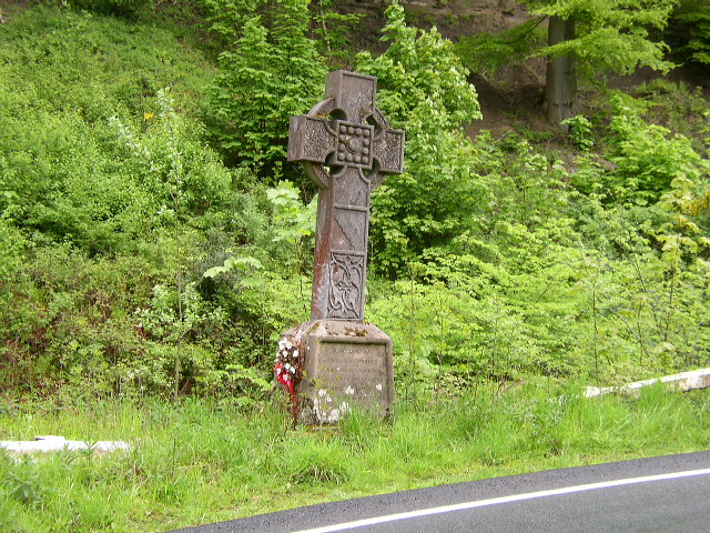
Derwentwater Memorial Cross

Haydon Chapelry, 1848

Haydon Chapelry, 1855
High Shaw, Haydon
Historic Buildings and Monuments in Haydon Civil Parish

Lady Shield, Haydon Bridge

Langley Barony Lead Mines

Seldom Seen, Haydon Bridge
Staward Pele


