Topics > Northumberland > Civil Parishes in Northumberland > Warkworth Civil Parish
Warkworth Civil Parish
Area: 21.7 km²
Population:
1,772 (2021 Census)
1,574 (2011 Census)
1,493 (2001 Census)
Co-Curate Page
Gloster Hill, Amble
- Overview Map Street View GLOSTER-HILL, a township, in the parish of Warkworth, union of Alnwick, E. division of Coquetdale ward, N. division of Northumberland, 8½ miles (S.E.) from Alnwick; containing …

Co-Curate Page
Warkworth
- Overview History Map Street View Warkworth is a village in Northumberland situated in a loop of the River Coquet about 1 mile from the coast. The village's medieval history is …
Co-Curate Page
Birling
- Overview Map Street View Birling is a hamlet located immediately north of Warkworth in Northumberland. Birling is on the A1068 road and close to the River Coquet. Hidden from view …
Co-Curate Page
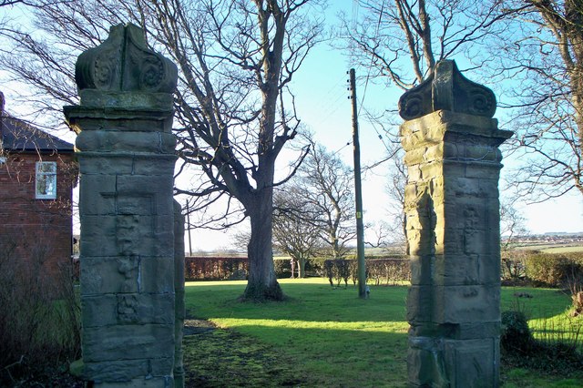
Morwick
- Overview Map Street View Morwick (sometmes spelt Morrick) is a hamlet which is located by the River Coquet, about 1 mile south-west of Warkworth in Northumberland. There is a dairy …
Co-Curate Page
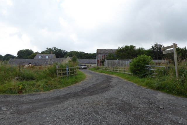
Low Buston
- Overview Map Street View Low Buston is a hamlet in Northumberland, located about a mile and a half north-west of Warkworth and 2 miles south-east of Shilbottle. The hamlet today …
Co-Curate Page
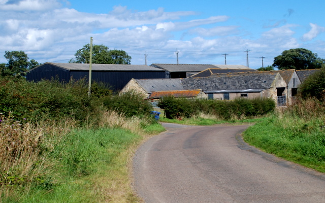
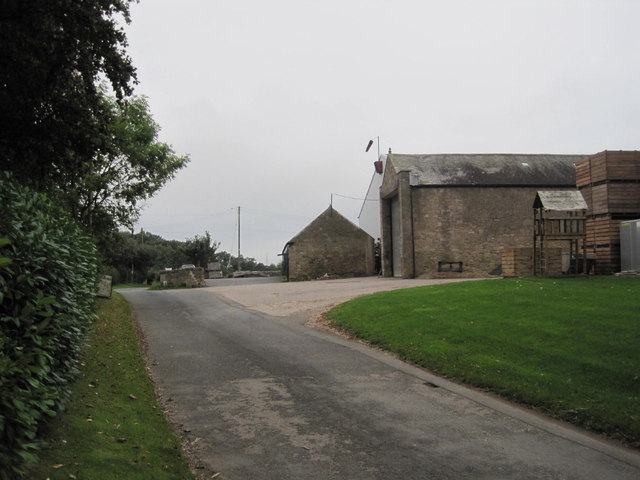
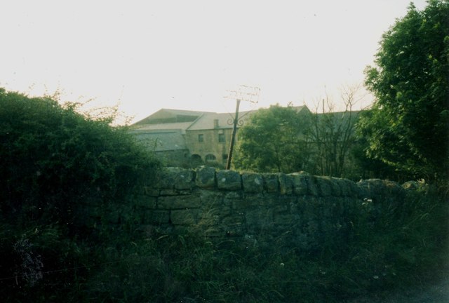
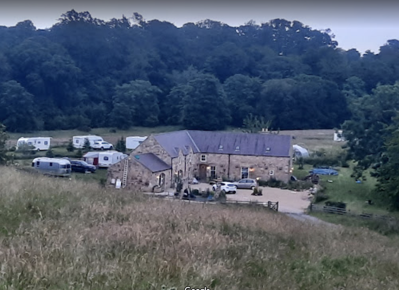
Sturton Grange
- Overview Map Street View Sturton Grange is a hamlet in Northumberland, located about 2 miles north-west of Warkwork. Historically the grange (farm) was owned by the Cistercian Abbey at Newminster. …
Co-Curate Page
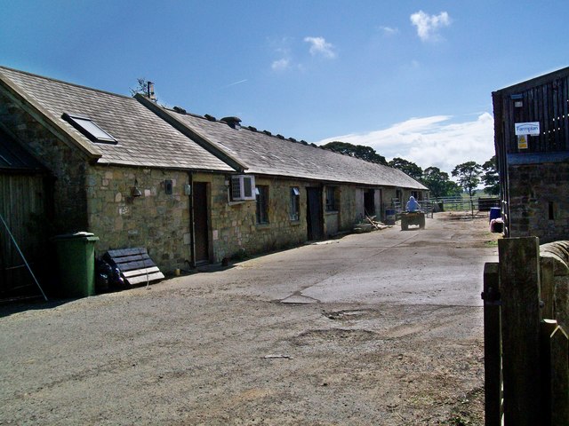
Walkmill (near Warkworth)
- Overview Map WALKMILL, a township, in the parish of Warkworth, union of Alnwick, E. division of Coquetdale ward, N. division of Northumberland; containing 5 inhabitants. It is situated on the …

Co-Curate Page
Gloster Hill, Amble
- Overview Map Street View GLOSTER-HILL, a township, in the parish of Warkworth, union of Alnwick, E. division of Coquetdale ward, N. division of Northumberland, 8½ miles (S.E.) from Alnwick; containing …
Co-Curate Page
Warkworth
- Overview History Map Street View Warkworth is a village in Northumberland situated in a loop of the River Coquet about 1 mile from the coast. The village's medieval history is …
Co-Curate Page
Birling
- Overview Map Street View Birling is a hamlet located immediately north of Warkworth in Northumberland. Birling is on the A1068 road and close to the River Coquet. Hidden from view …
Co-Curate Page
Morwick
- Overview Map Street View Morwick (sometmes spelt Morrick) is a hamlet which is located by the River Coquet, about 1 mile south-west of Warkworth in Northumberland. There is a dairy …
Co-Curate Page
Low Buston
- Overview Map Street View Low Buston is a hamlet in Northumberland, located about a mile and a half north-west of Warkworth and 2 miles south-east of Shilbottle. The hamlet today …
Co-Curate Page
Sturton Grange
- Overview Map Street View Sturton Grange is a hamlet in Northumberland, located about 2 miles north-west of Warkwork. Historically the grange (farm) was owned by the Cistercian Abbey at Newminster. …