Topics > Northumberland > Birling
Birling
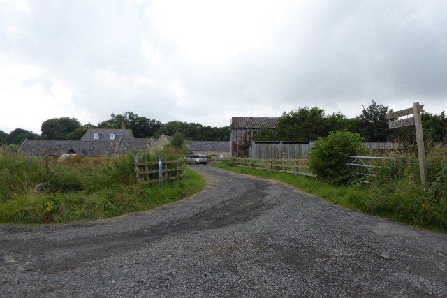
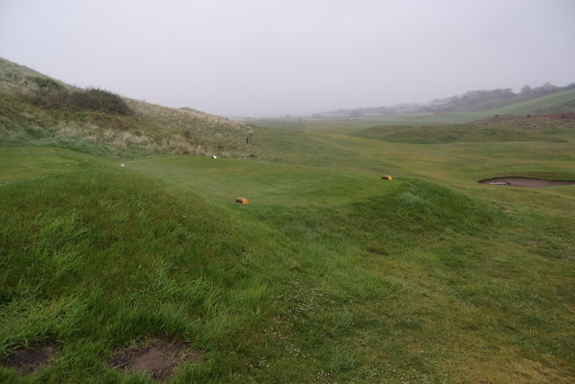
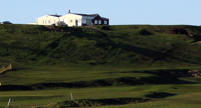
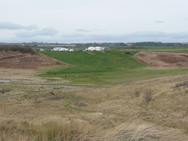
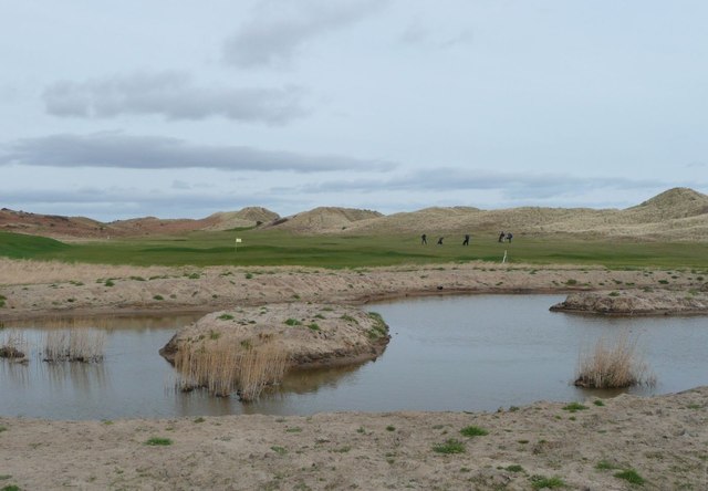
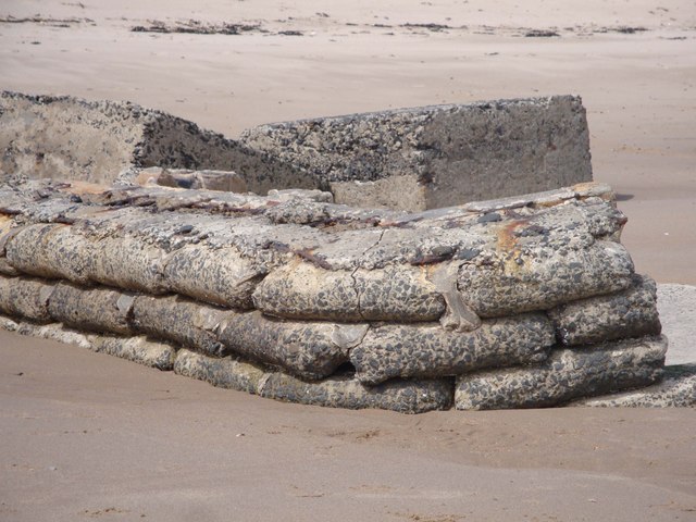
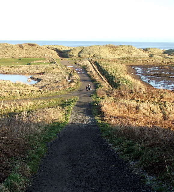
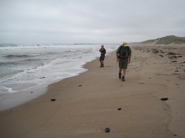
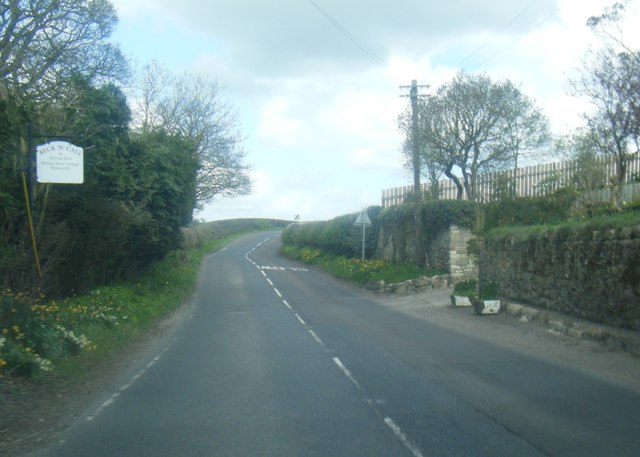
Birling is a hamlet located immediately north of Warkworth in Northumberland. Birling is on the A1068 road and close to the River Coquet. Hidden from view of the main road is Birling Manor, an 18th century house, with an extension dated 1752; a Grade II listed building.[1] The 19th century coach house and 18th century hen house, associated with Birling Manor, are also both listed buildings. There are facilities for static and touring caravans at Birling. To the east are Warkworth Golf Club, Birling Links and beach.
BIRLING, a township, in the parish of Warkworth, union of Alnwick, E. division of Coquetdale ward, N. division of Northumberland, 6½ miles (S. E.) from Alnwick; containing 80 inhabitants. It is situated on the road from Warkworth to Lesbury, and is the property of the Duke of Northumberland: the river Coquet flows on the south. The tithes have been commuted for £95. 8., payable to the Bishop of Carlisle, and £32. 7. to the vicar of the parish.
Extract from: A Topographical Dictionary of England comprising the several counties, cities, boroughs, corporate and market towns, parishes, and townships..... 7th Edition, by Samuel Lewis, London, 1848.
BIRLING, or Berling, a township in Warkworth parish, Northumberland; on the river Coquet and on the coast, 6½ miles SE of Alnwick. Acres, 826. Pop., 83. Houses, 14.
From: The Imperial Gazetteer of England and Wales, JM Wilson, 1870

from https://historicengland.org.u…
BIRLING MANOR - List Entry
- "House. Mid C18, 2 builds, nearly contemporary; (extension dated 1752 on kneeler) with some alterations in C19. Front ashlar, right return good quality tooled stone, rear squared stone; Welsh slate …
Added by
Simon Cotterill
from https://historicengland.org.u…
COACH HOUSE RANGE TO WEST OF BIRLING MANOR - List Entry
- "Coach-house, stable and pigsty. Early C19. Squared stone with cut dressings; Welsh slate roof. Taller coach-house on left has 2 sets of boarded doors, left under segmental arch, right under …
Added by
Simon Cotterill
from https://historicengland.org.u…
HEN HOUSE AND ATTACHED STRUCTURES TO NORTH WEST OF BIRLING MANOR - List Entry
- "Henhouse with attached outbuilding and wall. Probably late C18. Roughly- squared stone with cut quoins and dressings; pantile roof. End of henhouse shows boarded door in alternating-block surround with small …
Added by
Simon Cotterill

Co-Curate Page
Warkworth Parish, 1855
- Extract from: History, Topography, and Directory of Northumberland...Whellan, William, & Co, 1855. WARKWORTH PARISH WARKWORTH, a parish in the eastern division of Morpeth ward, and eastern division of Coquetdale …

from https://historicengland.org.u…
BIRLING MANOR - List Entry
- "House. Mid C18, 2 builds, nearly contemporary; (extension dated 1752 on kneeler) with some alterations in C19. Front ashlar, right return good quality tooled stone, rear squared stone; Welsh slate …
Added by
Simon Cotterill
from https://historicengland.org.u…
COACH HOUSE RANGE TO WEST OF BIRLING MANOR - List Entry
- "Coach-house, stable and pigsty. Early C19. Squared stone with cut dressings; Welsh slate roof. Taller coach-house on left has 2 sets of boarded doors, left under segmental arch, right under …
Added by
Simon Cotterill
from https://historicengland.org.u…
HEN HOUSE AND ATTACHED STRUCTURES TO NORTH WEST OF BIRLING MANOR - List Entry
- "Henhouse with attached outbuilding and wall. Probably late C18. Roughly- squared stone with cut quoins and dressings; pantile roof. End of henhouse shows boarded door in alternating-block surround with small …
Added by
Simon Cotterill


