Topics > Northumberland > Civil Parishes in Northumberland > Stamfordham Civil Parish > Stamfordham Parish, 1848
Stamfordham Parish, 1848
STAMFORDHAM (St. Mary), a parish, in the union of Castle ward, N. E. division of Tindale ward, S. division of Northumberland, 12½ miles (W.N.W.) from Newcastle-upon-Tyne; containing 1,777 inhabitants. This parish is the finest champaign part of Tindale ward, and is about 5½ miles in length from east to west, and 4½ in breadth from north to south. It comprises the townships of Bitchfield, Black Heddon, Cheeseburn-Grange, Fenwick, Hawkwell, Heugh, Ingoe, Kearsley, East and West Matfen, Nesbit, Ouston, Ryall, and Walridge. The district is well cultivated; and contains abundant seams of coal and limestone, both of which are wrought, the latter for agricultural purposes. The village, situated in the township of Heugh, is principally of modern erection, and consists chiefly of one long broad street; in the centre is a covered market-cross, erected in 1736, by Sir John Swinburne, Bart., for a market, now discontinued. A fair is held for cattle and pigs, on the second Thursday in April; and there are statute-fairs on the Thursday before Old May-day, on November 14th, and the last Thursday in February. The living is a vicarage, valued in the king's books at £14. 18. 1½., and in the patronage of the Crown, with a net income of £574. The church, erected about the 13th century, is in the early English style, and stands west of the market-cross; the chancel was built by the Fenwicks, of Fenwick Tower, and contains several monumental inscriptions to that ancient family and the Swinburnes. At Ryall is a chapel of ease; and a church has been just consecrated at Matfen. There is a place of worship in the village for Presbyterians, at Matfen one for Wesleyans, and at Cheeseburn-Grange one for Roman Catholics. A free school was founded in 1663, by Sir Thomas Widdrington, Knt., who endowed it with seventysix acres of land, now producing about £160 per annum.
Extract from: A Topographical Dictionary of England comprising the several counties, cities, boroughs, corporate and market towns, parishes, and townships..... 7th Edition, by Samuel Lewis, London, 1848.

Co-Curate Page
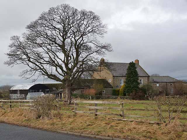
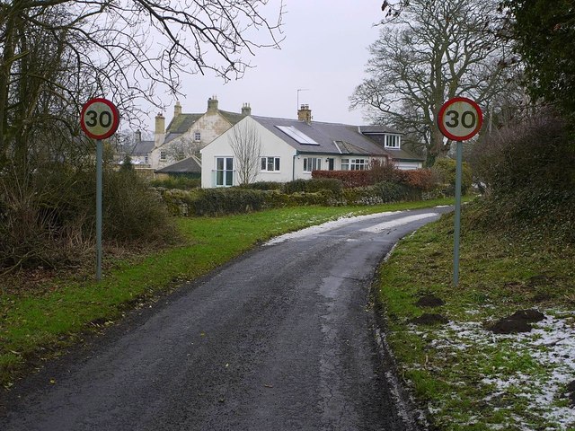
Wallridge
- Overview Map Street View Wallridge is a hamlet in Northumberland, located about 3 miles north-west of Stamfordham and 3 miles west of Belsay. It is the site of a deserted …

Co-Curate Page
Bitchfield Township, 1848
- BITCHFIELD, a township, in the parish of Stamfordham, union of Castle ward, N.E. division of Tindale ward, S. division of Northumberland, 13 miles (N.W.) from Newcastle-upon-Tyne; containing 36 inhabitants. The …
Co-Curate Page
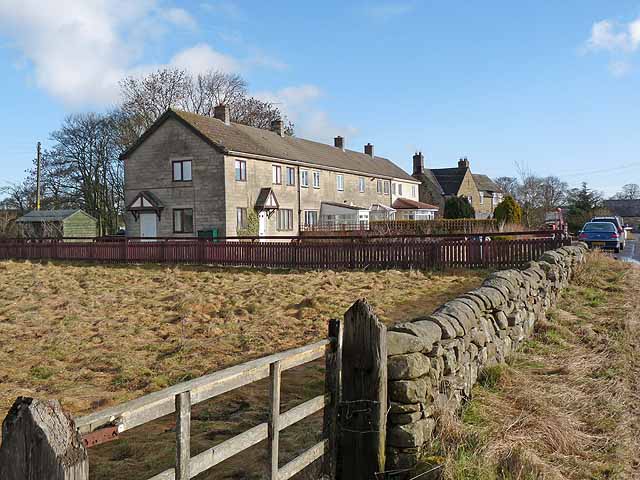
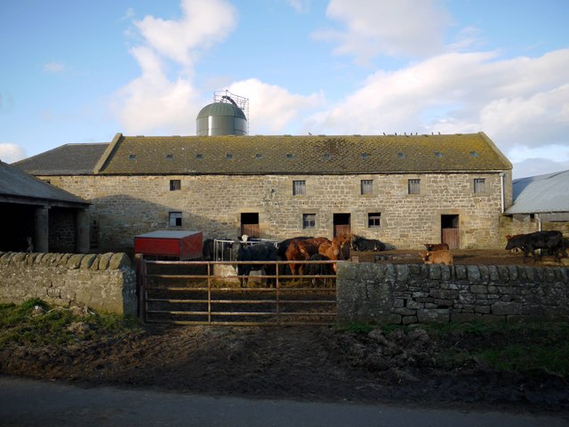
Ouston
- Overview Map Street View Ouston is a hamlet / farm located about half a mile south of Stamfordham in Northumberland. An airfield, RAF Ouston, was built here during the Second …
Co-Curate Page
Fenwick, Stamfordham, Nothumberland
- FENWICK, a township, in the parish of Stamfordham, union of Castle ward, N.E. division of Tindale ward, S. division of Northumberland, 13½ miles (N.W. by W.) from Newcastle-upon-Tyne; containing 66 …
Co-Curate Page
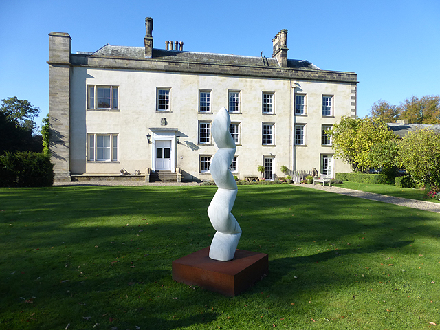
Cheeseburn Grange
- Overview Map Street View CHEESEBURN-GRANGE, a township, in the parish of Stamfordham, union of Castle ward, N.E. division of Tindale ward, S. division of Northumberland, 12 miles (N.W. by W.) …
Co-Curate Page
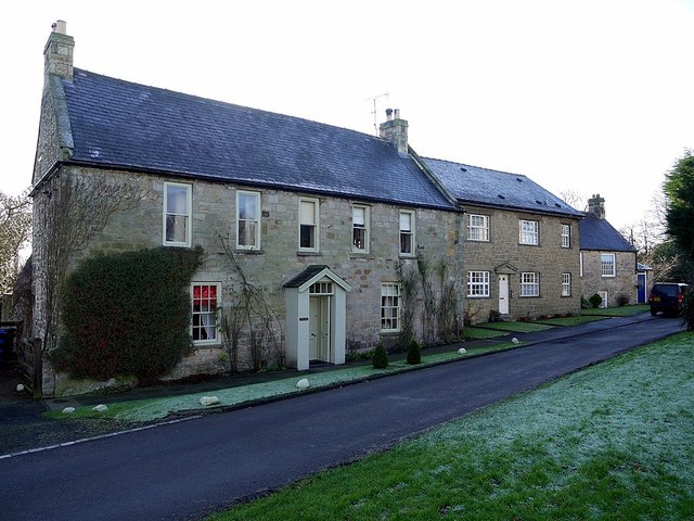
Stamfordham
- Overview About Stamfordham Map Street View Stamfordham is a village and civil parish in Northumberland, about 11 miles west of Newcastle upon Tyne, 5 miles west of Ponteland and …
Co-Curate Page
Hawkwell
- Overview Map Street View Hawkwell is a hamlet on the south side of the River Pont, over the river from the village of Stamfordham in Northumberland, and located about 11 …
Co-Curate Page
Black Heddon
- Overview Map About Black Heddon Street View Black Heddon is a village in Northumberland, located 2.5 miles South West of Belsay and just under 3 miles North of Stamfordham on …
Co-Curate Page
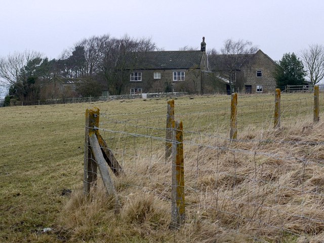
Nesbitt Hill Head
- Overview Map Nesbitt Hill Head is a hamlet/farm in Northumberland, located about 1½ miles south of the village of Stamfordham. It is located at the south-west of Ouston Airfield, close …
Co-Curate Page
East Matfen Township, 1848
- MATFEN, EAST, a township, in the parish of Stamfordham, union of Castle ward, N.E. division of Tindale ward, S. division of Northumberland, 8¾ miles (N.E. by E.) from Hexham; containing …
Co-Curate Page
West Matfen Township, 1848
- MATFEN, WEST, a township, in the parish of Stamfordham, union of Castle ward, N.E. division of Tindale ward, S. division of Northumberland, 9½ miles (N.E.) from Hexham; containing 429 inhabitants. …
Co-Curate Page
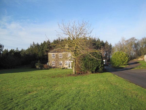
Kearsley, Northumberland
- Overview Map Street View Kearsley is a farmstead in Northumberland, loacted about 2½ miles north of Matfen and ½ mile north-west of Ingoe. The medieval village of Kearsley, near here, …
Co-Curate Page
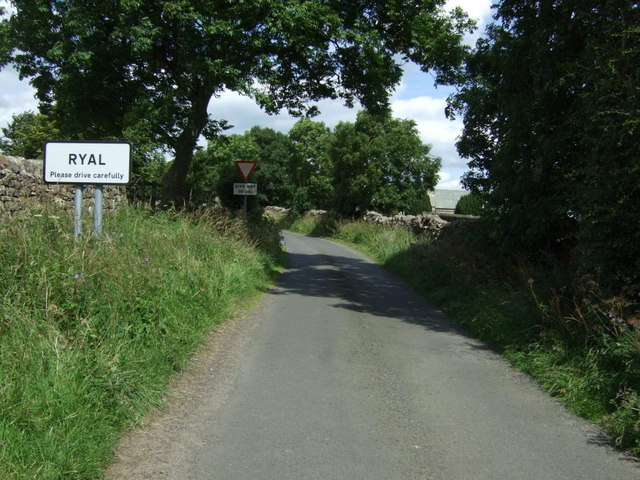
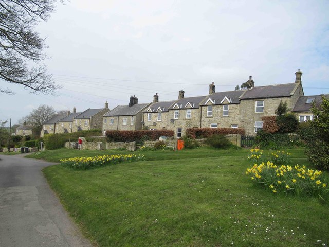
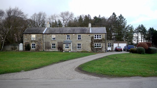
Ryal
- Overview Map Street View Ryal is a village in Northumberland, located about 7 miles north-east of Hexham and 2 miles north-west of Matfen. At the east end of the village …
Co-Curate Page
Ingoe
- Overview Map Street View Ingoe is a small settlement in Northumberland, located about 2 miles north-east of the village of Maften and 3 miles north-west of Stamfordham. Historically, Ingoe was …
Co-Curate Page
Heugh, Northumberland
- Overview Map Street View HEUGH, a township, in the parish of Stamfordham, union of Castle ward, N. E. division of Tindale ward, S. division of Northumberland, 12½ miles (N.W. by …

Co-Curate Page
Stamfordham Parish, 1855
- Extract from: History, Topography, and Directory of Northumberland...Whellan, William, & Co, 1855. STAMFORDHAM parish comprises the townships of Bitchfield, Black-Heddon, Cheeseburn Grange, Fenwick, Hawkwell, Heugh, Ingoe, Kearsley, Matfen (East), Matfen …

Co-Curate Page
Wallridge
- Overview Map Street View Wallridge is a hamlet in Northumberland, located about 3 miles north-west of Stamfordham and 3 miles west of Belsay. It is the site of a deserted …
Co-Curate Page
Bitchfield Township, 1848
- BITCHFIELD, a township, in the parish of Stamfordham, union of Castle ward, N.E. division of Tindale ward, S. division of Northumberland, 13 miles (N.W.) from Newcastle-upon-Tyne; containing 36 inhabitants. The …
Co-Curate Page
Ouston
- Overview Map Street View Ouston is a hamlet / farm located about half a mile south of Stamfordham in Northumberland. An airfield, RAF Ouston, was built here during the Second …
Co-Curate Page
Fenwick, Stamfordham, Nothumberland
- FENWICK, a township, in the parish of Stamfordham, union of Castle ward, N.E. division of Tindale ward, S. division of Northumberland, 13½ miles (N.W. by W.) from Newcastle-upon-Tyne; containing 66 …
Co-Curate Page
Cheeseburn Grange
- Overview Map Street View CHEESEBURN-GRANGE, a township, in the parish of Stamfordham, union of Castle ward, N.E. division of Tindale ward, S. division of Northumberland, 12 miles (N.W. by W.) …
Co-Curate Page
Stamfordham
- Overview About Stamfordham Map Street View Stamfordham is a village and civil parish in Northumberland, about 11 miles west of Newcastle upon Tyne, 5 miles west of Ponteland and …
Co-Curate Page
Hawkwell
- Overview Map Street View Hawkwell is a hamlet on the south side of the River Pont, over the river from the village of Stamfordham in Northumberland, and located about 11 …
Co-Curate Page
Black Heddon
- Overview Map About Black Heddon Street View Black Heddon is a village in Northumberland, located 2.5 miles South West of Belsay and just under 3 miles North of Stamfordham on …
Co-Curate Page
Nesbitt Hill Head
- Overview Map Nesbitt Hill Head is a hamlet/farm in Northumberland, located about 1½ miles south of the village of Stamfordham. It is located at the south-west of Ouston Airfield, close …
Co-Curate Page
East Matfen Township, 1848
- MATFEN, EAST, a township, in the parish of Stamfordham, union of Castle ward, N.E. division of Tindale ward, S. division of Northumberland, 8¾ miles (N.E. by E.) from Hexham; containing …
Co-Curate Page
West Matfen Township, 1848
- MATFEN, WEST, a township, in the parish of Stamfordham, union of Castle ward, N.E. division of Tindale ward, S. division of Northumberland, 9½ miles (N.E.) from Hexham; containing 429 inhabitants. …
Co-Curate Page
Kearsley, Northumberland
- Overview Map Street View Kearsley is a farmstead in Northumberland, loacted about 2½ miles north of Matfen and ½ mile north-west of Ingoe. The medieval village of Kearsley, near here, …
Co-Curate Page
Ryal
- Overview Map Street View Ryal is a village in Northumberland, located about 7 miles north-east of Hexham and 2 miles north-west of Matfen. At the east end of the village …
Co-Curate Page
Ingoe
- Overview Map Street View Ingoe is a small settlement in Northumberland, located about 2 miles north-east of the village of Maften and 3 miles north-west of Stamfordham. Historically, Ingoe was …
Co-Curate Page
Heugh, Northumberland
- Overview Map Street View HEUGH, a township, in the parish of Stamfordham, union of Castle ward, N. E. division of Tindale ward, S. division of Northumberland, 12½ miles (N.W. by …


