Topics > Geography > Rivers > River Aln
River Aln
|
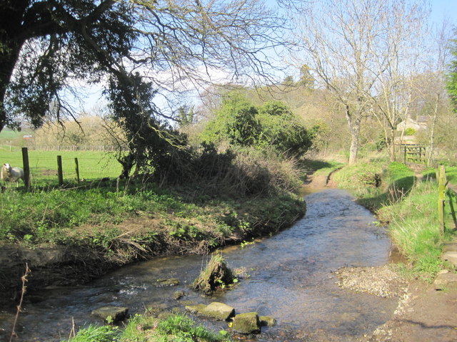
The River Aln is a river in Northumberland which rises in Alnham in the Cheviot Hills and discharges into the North Sea at Alnmouth. Historically the river has been important, especially during the Ango-Scottish wars, with defences inluding Alnwick Castle. The major tributaries of the Aln include: Callaly Burn, Cawledge Burn, Coe Burn, Edlingham Burn, and Shipley Burn |
Settlements: |
| Bridge | Type / Road | Place(s) | Opened | Note. |
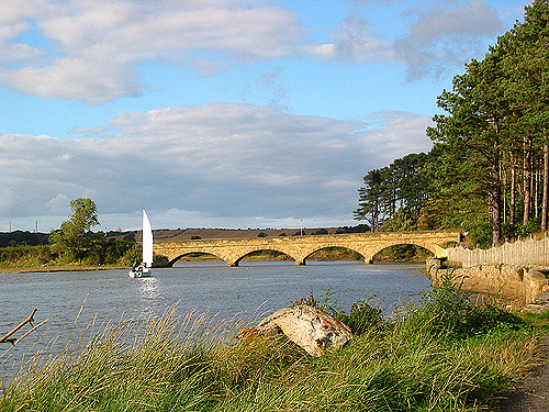
| Duchess Bridge | Road & Footbridge | Alnmouth | 1864 | Grade II listed |
| Steppey Lane Footbridge | Footbridge | Lesbury | 1988 | |
| Old Bridge | Road (closed) | Lesbury | C15th | Grade I listed |
| New Bridge | Road (A1068) | Lesbury | 2004 | |
| Lesbury Railway Viaduct | Rail | Lesbury | 1849 | by Robert Stephenson, Grade II listed |
| Hawkhill Bridge | Road (A1068) | 1921 | ||
| Peter's Mill Footbridge | Footbridge | Alnwick | 2004 | |
| A1 Road Bridge | Road (A1) | Alnwick | 1969 | |
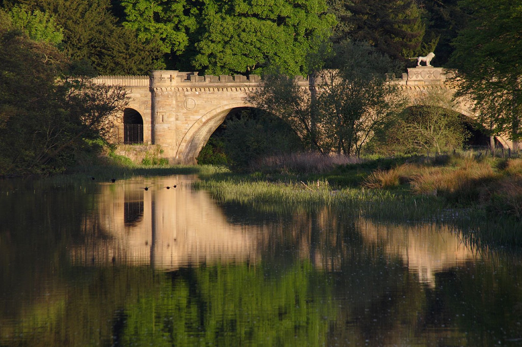
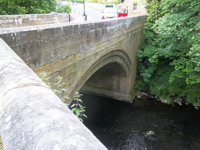
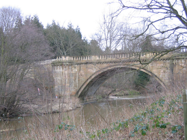
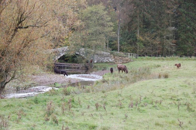
| Denwick bridge | Road (B1340) | Denwick - Alnwick | 1776 | Grade I listed |
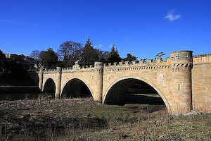
| Lion Bridge | Road | Alnwick | 1775 | Grade I listed |
| Canongate Bridge | Road | Alnwick | 1821 | Grade I listed |
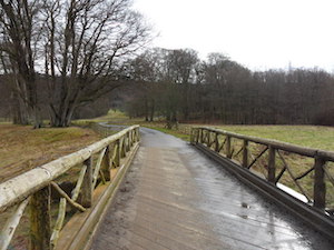
| Duchess's Footbridge | Footbridge | Hulne Park | 1868 | |
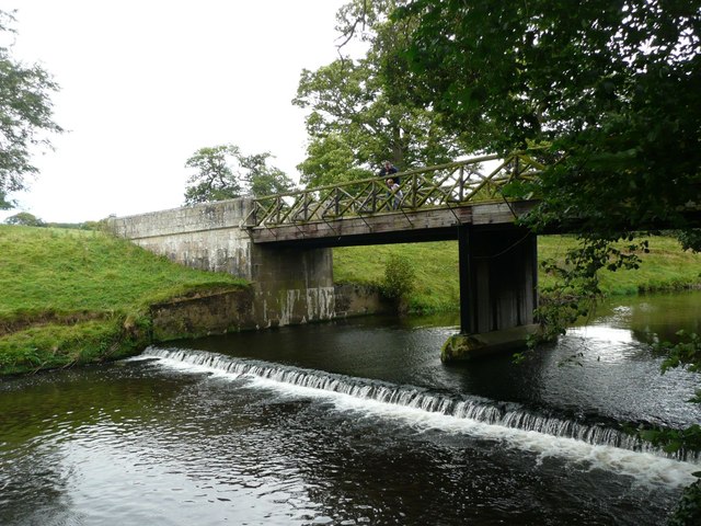
| Monk's Bridge | Road | Hulne Park | 1901 | |
| Filbert Haugh Bridge | Road | Hulne Park | 1901 | |
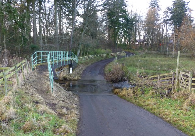
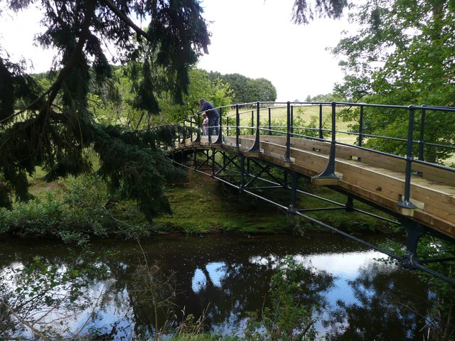
| Hulne Park Footbridge | Footbridge | Hulne Park | 2009 | |
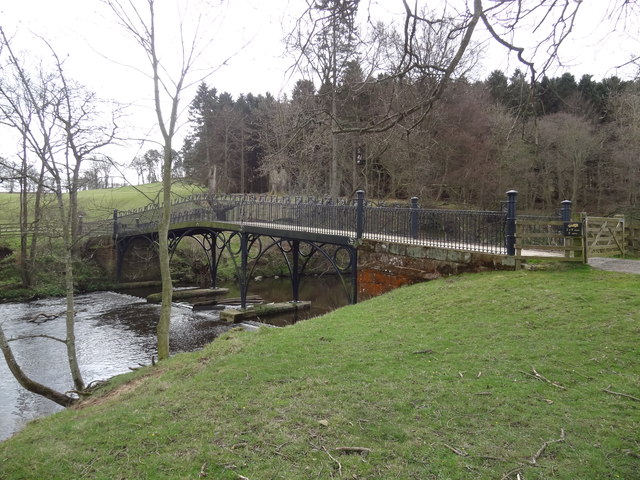
| Hulne Park Iron Bridge | Footbridge | Hulne Park | 1812 | Grade II* listed |
| East Brizlee Bridge | Footbridge | Hulne Park | 1933 | |
| Hulne Park Wooden Footbridge | Footbridge | Hulne Park | ||
| Catheugh Bridge | Road (track) | Hulne Park | 1827 | |
| Aberwick Mill Footbridge | Footbridge | c.1952 | Wooden bridge | |
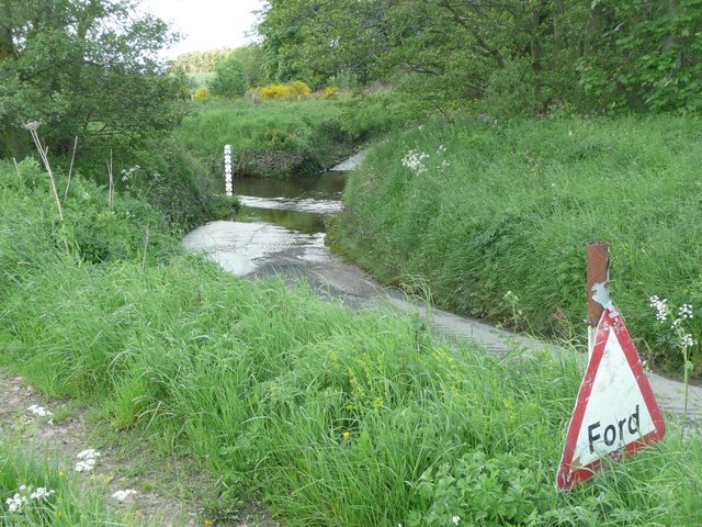
| Aberwick Ford Footbridge | Footbridge | 1952 | ||
| Bolton Mill Footbridge | ||||
| Bolton Bridge | ||||
| Bridge Of Aln | 1840 | |||
| Mount Hooley Bridge | 1979 | |||
| Whittingham Bridge | Whittingham | 1818 | ||
| Whittingham Village Footbridge | Whittingham | c.1955 | ||
| Whittingham West Footbridge | Whittingham | c.1955 | ||
| Whittingham West Bridge | Whittingham | c.1888 | ||
| Mountain Ford Footbridge | 1953 | |||
| Lady's Bridge, Eslington Park | Eslington Park | C18th | Disused | |
| Eslington East Lodge Footbridge | ||||
| Eslington Park Footbridge East | ||||
| Eslington Park Road Bridge | ||||
| Eslington Park Footbridge West | ||||
| Eslington West Lodge Footbridge | 1960 | |||
| Ryle Mill Bridge | ||||
| Little Ryle Ford Footbridge | 1961 | |||
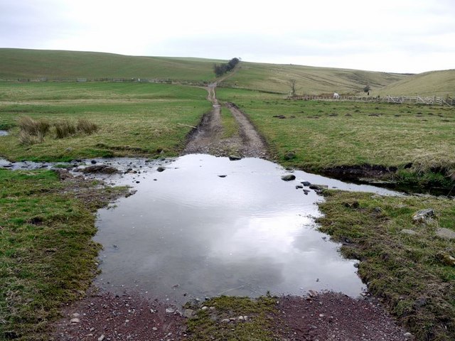
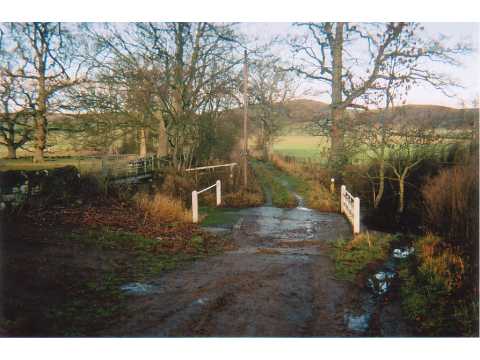
| Alnham East Bridge | Alnham | |||
| Alnham Bridge | Alnham |
Sources: Bridges of the Tyne, Historic England
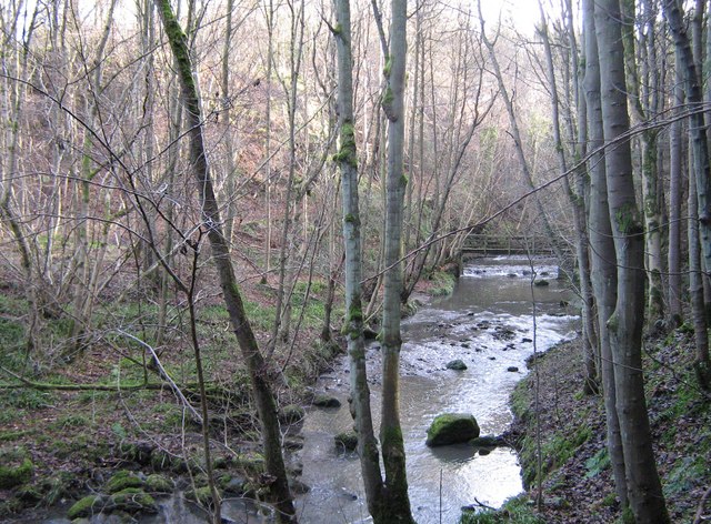
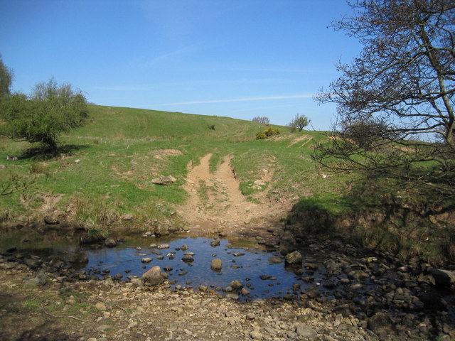
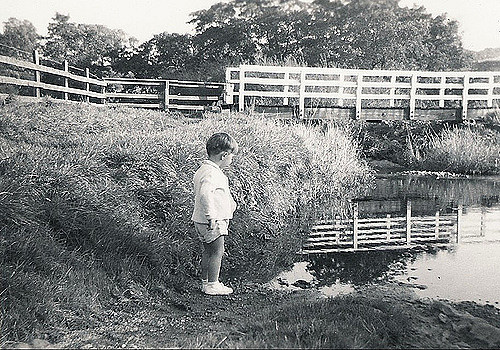
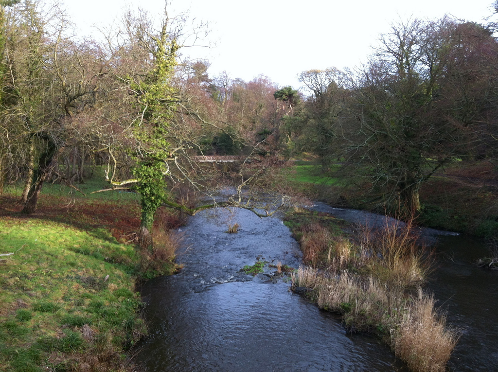
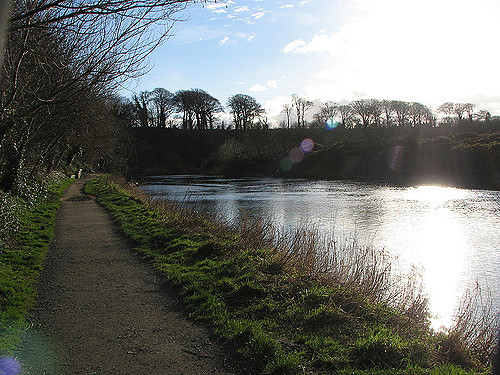
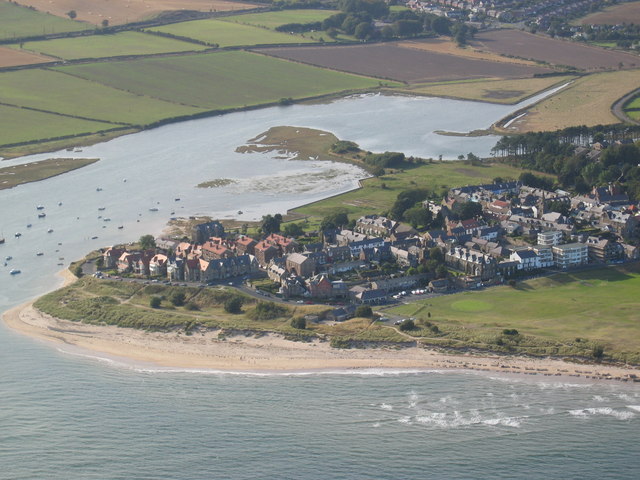
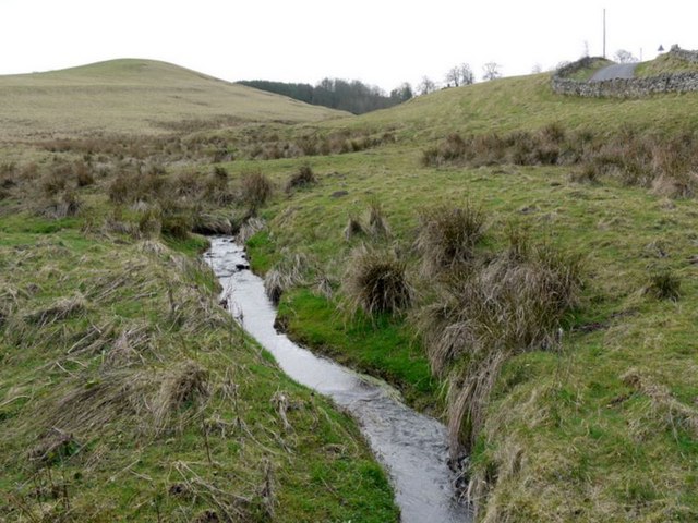
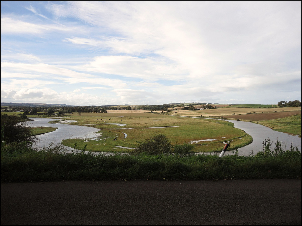
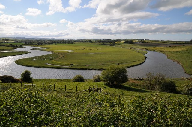
The River Aln runs through the county of Northumberland in England. It rises in Alnham in the Cheviot Hills and discharges into the North Sea at Alnmouth on the east coast of England.
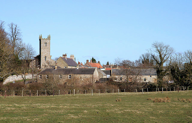
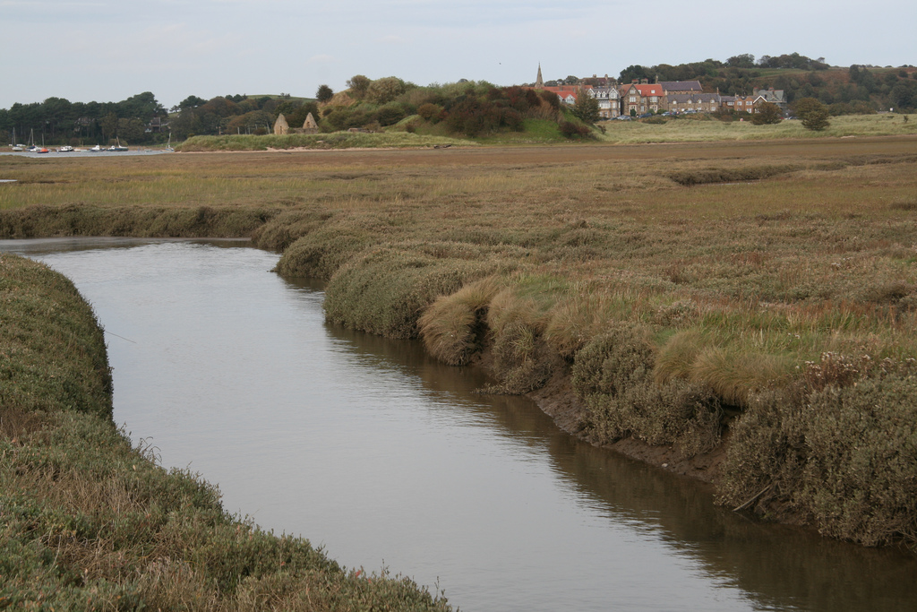
The river gives its name to the town of Alnwick and the villages of Alnmouth and Alnham. For part of its route, directly upstream of Alnwick, the river flows through Hulne Park.
History
The Aln is first mentioned in the Geography of Ptolemy, a 2nd Century AD Roman cartographer. He refers to it as the River Alaunos or Alaunus (Geographica 2.3.4.18), on which seems to be situated the town of Alauna (Geographica 2.3.7.6). This can speculatively be identified as the Roman fort at Learchild, where the Devil's Causeway crosses the river.
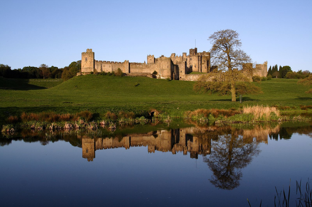
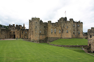
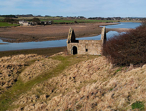
The Aln is a relatively small river but has been important through history as one of the boundaries along which English and Scottish troops marching to war had to cross; for that reason, it was at times heavily defended. For example, the river flows past Learchild Roman Fort and, more significantly, Alnwick Castle which was built for this purpose.
In two battles at Alnwick the river was a significant element: the first in 1093 between Malcolm III of Scotland and Robert de Mowbray; the second in 1174 between William I of Scotland and Ranulf de Glanville.
Adtwifyrdi is the name used by the Venerable Bede to describe the meeting of river and tributary at the mouth of the River Aln.
Non-Tidal Ecology
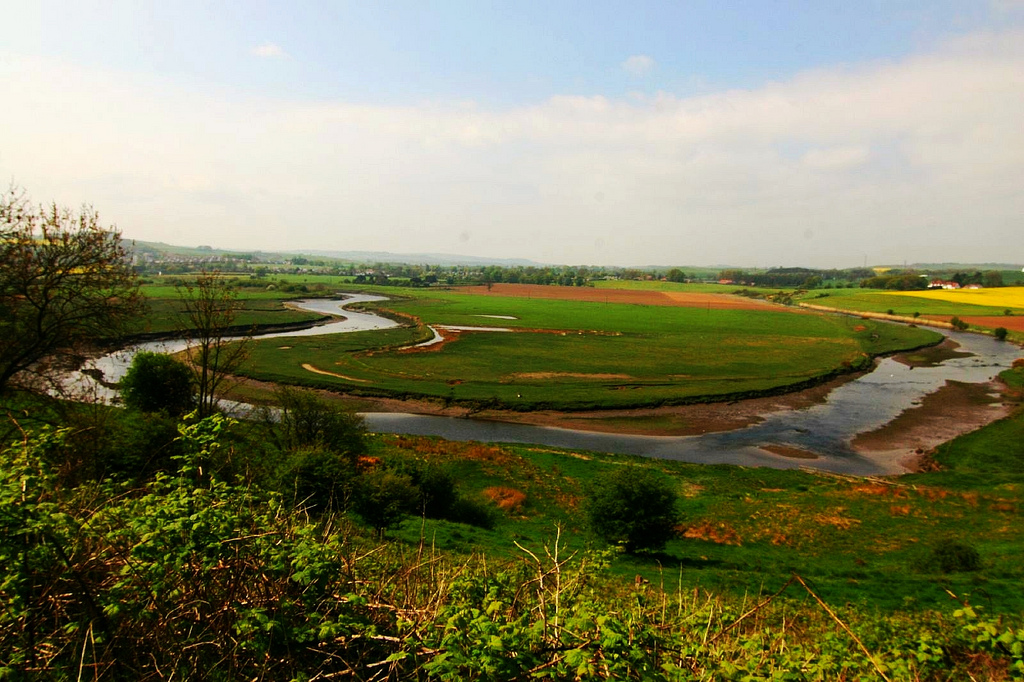
The river has a good run of sea trout and salmon, as well as a population of resident brown trout. Public fishing is controlled by the Aln Anglers' Association. The Aln also has a resident population of otters. Grey heron, barn owls, kestrels and buzzards can be observed hunting along the banks of the river.
Tidal ecology
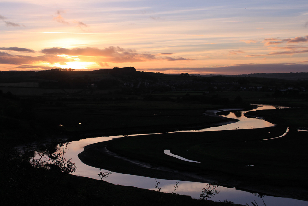
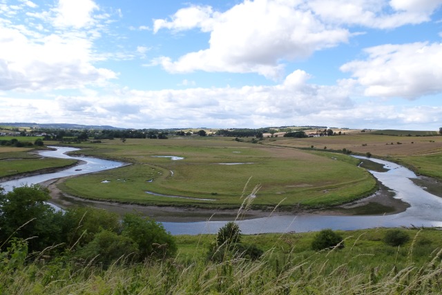
Part of the estuary is designated a Site of Special Scientific Interest, and the river below Lesbury footbridge (the normal tidal limit, except on high springs and in surge events) was made a marine conservation zone in 2013. large groups of lapwings, oyster catchers and curlews can often be seen. In smaller numbers are mallards, shelducks, grey herons, cormorants, greylag geese, Canada geese, swans and the occasional family of goosanders. Less often spotted are barn owls, kestrels, avocets and little egrets. Further down the tidal zone a visitor will often see Sandwich terns and common terns, as well as a variety of gulls and smaller waders including redshanks, greenshanks, turnstones, ringed plovers, pied wagtails, and other sandpipers.

Co-Curate Page
Alnham
- Overview About Map Street View Alnham is a hamlet in Northumberland, located near the source of the River Aln, about 14 miles west of Alnwick. Notably, in Alnham are the …
Co-Curate Page
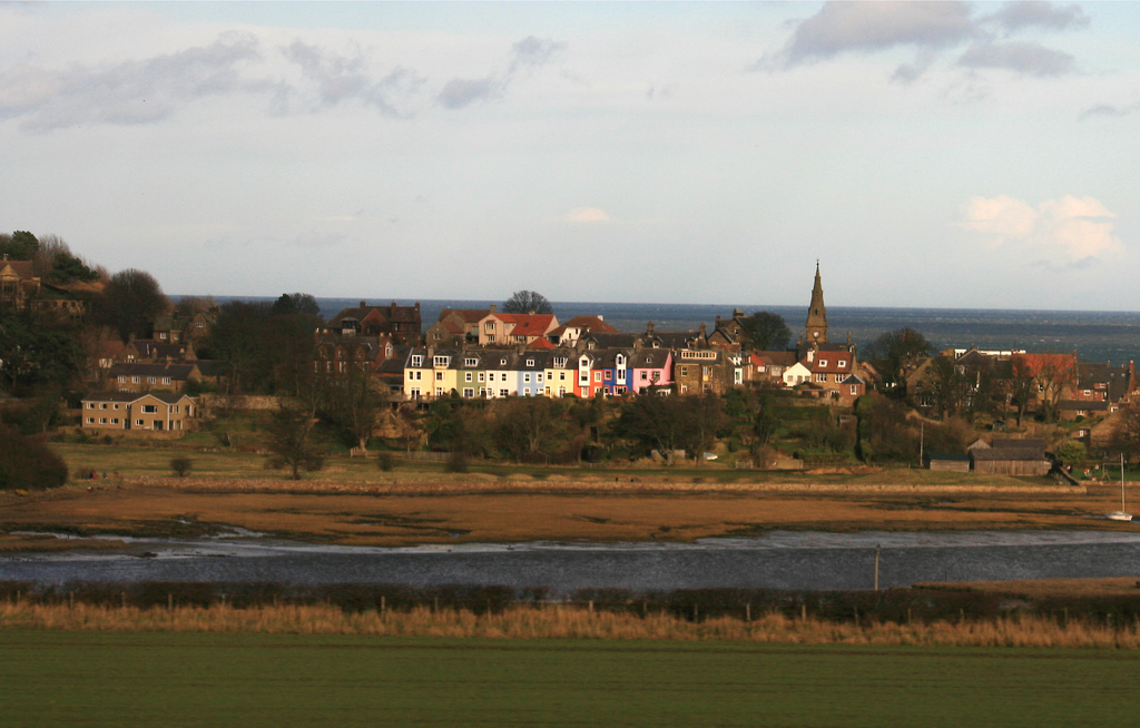
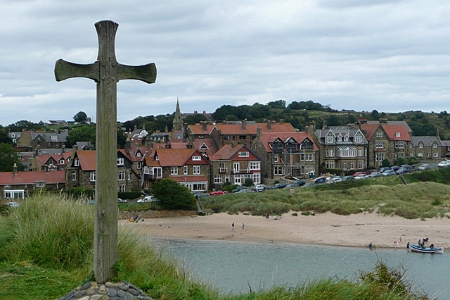
Alnmouth
- Overview About Alnmouth Map Street View Alnmouth is a large village in Northumberland located near the mouth of the River Aln where it flows into the North Sea. Bronze Age …
Co-Curate Page
Alnwick
- Overview History Map Street View Alnwick is a historic market town in Northumberland, located on the banks of the River Aln, 32 miles south of Berwick-upon-Tweed 34 miles north of …

Co-Curate Page
Whittingham
- Overview About Whittingham Map Street View Whittingham is a village and civil parish in Northumberland, England. It is situated on the banks of the River Aln, roughly 4.5 miles …
Co-Curate Page
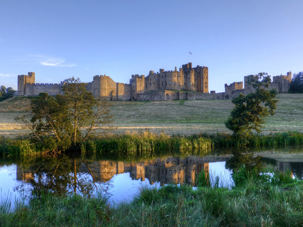
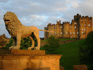
Alnwick Castle
- Overview History Map Street View Alnwick Castle is the seat of the Duke of Northumberland, built by the River Aln in Alnwick following the Norman conquest. The castle is open …
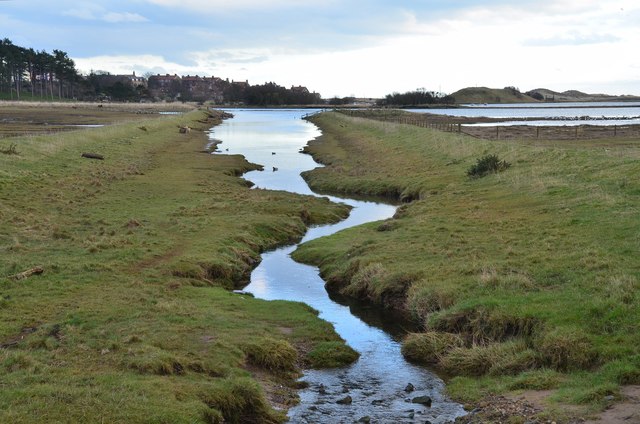
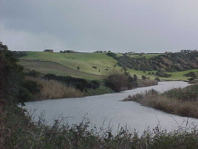
from Geograph (geograph)
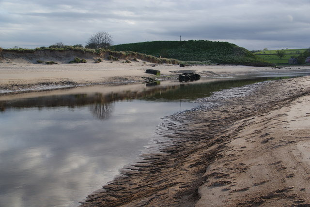
The River Aln at low tide, Alnmouth. Northumberland
Pinned by Simon Cotterill
Co-Curate Page
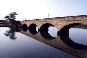
The Lion Bridge
- Overview Map Street View The Lion Bridge over the River Aln at Alnwick was built in 1775 by John Adam.[1] The stone bridge has 4 arches and in the centre of …
Co-Curate Page
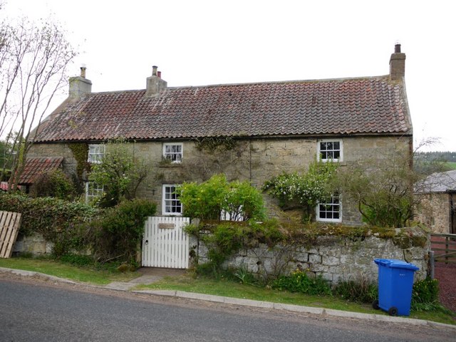
Lesbury
- Overview About Lesbury Map Street View Lesbury is a small rural village in Northumberland in the north of England. It is built on the main coastal road southeast of …
Co-Curate Page
Old Bridge
- Overview Map Street View The old stone bridge over the River Aln at Lesbury dates from the 15th century, though substantially altered in the 19th century. The bridge is Grade …
Co-Curate Page
New Bridge
- Overview Map Street View The 'new' road bridge over the River Aln at Lesbury was opened in 2004 and carries the A1068. Prior to that the road was routed over …
Co-Curate Page
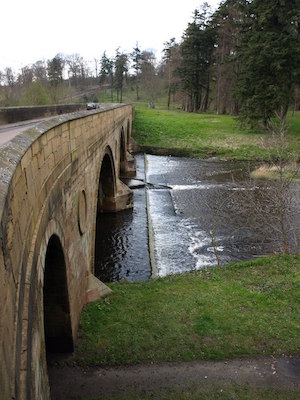
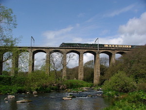
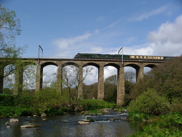
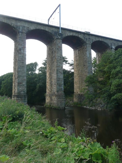
Railway Viaduct
- Overview Map Street View The viaduct just north west of Lesbury carries the railway over the River Aln in Northumberland. The viaduct has 18 arches and was built in 1848/1849 …
Co-Curate Page
Duchess Bridge
- Overview Map Street View This stone bridge over the River Aln at Alnmouth was built in 1864. The bridge is Grade II listed on the National Heritage List for England. A …
Co-Curate Page
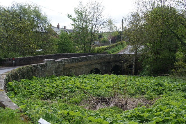
Denwick Bridge
- Overview Map Street View Denwick Bridge over the River Aln is located about half a mile north east of Alnwick and a similar distance south west of Denwick. The stone …
Co-Curate Page
Monk's Bridge
- Monk's Bridge is a wooden bridge over the River Aln in Hulne Park, near Alnwick, built in 1901. The wooden rails are suppored stone abutments from an earlier bridge of c.1854.[1]
Co-Curate Page
New Footbridge
- This footbridge over the River Aln at Hulne Park was built in 2009 and replaced an earlier bridge which was destroyed in the floods of September 2008.

Co-Curate Page
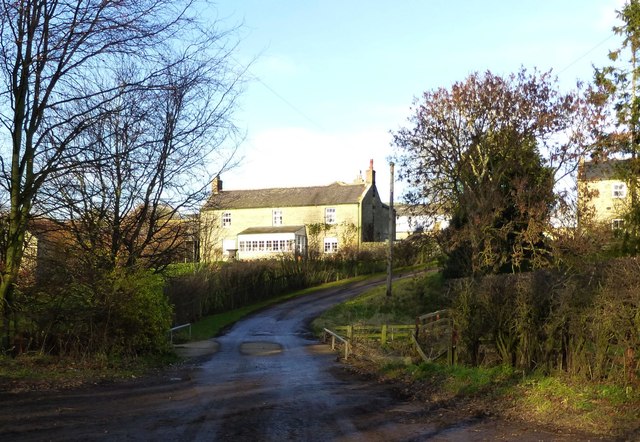
Ryle Mill
- Overview Map Street View Ryle Mill is a hamlet and farm by the River Aln in Northumberland, located about half a mile north-east of Little Ryle and 3 miles west …
Co-Curate Page
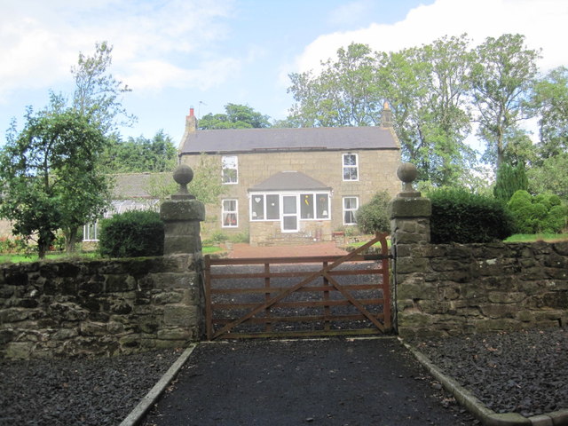
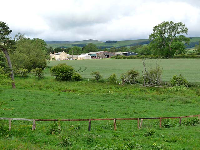
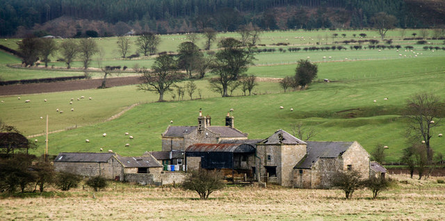
Bolton Mill, Northumberland
- Overview Map Street View Bolton Mill Farm in Northumberland is located by a bend in the River Aln, and is located about 4 miles west of Alnwick and just under …

Co-Curate Page
Alnham
- Overview About Map Street View Alnham is a hamlet in Northumberland, located near the source of the River Aln, about 14 miles west of Alnwick. Notably, in Alnham are the …
Co-Curate Page
Alnmouth
- Overview About Alnmouth Map Street View Alnmouth is a large village in Northumberland located near the mouth of the River Aln where it flows into the North Sea. Bronze Age …
Co-Curate Page
Alnwick
- Overview History Map Street View Alnwick is a historic market town in Northumberland, located on the banks of the River Aln, 32 miles south of Berwick-upon-Tweed 34 miles north of …
Co-Curate Page
Whittingham
- Overview About Whittingham Map Street View Whittingham is a village and civil parish in Northumberland, England. It is situated on the banks of the River Aln, roughly 4.5 miles …
Co-Curate Page
Alnwick Castle
- Overview History Map Street View Alnwick Castle is the seat of the Duke of Northumberland, built by the River Aln in Alnwick following the Norman conquest. The castle is open …
from Geograph (geograph)
The River Aln at low tide, Alnmouth. Northumberland
Pinned by Simon Cotterill
Co-Curate Page
The Lion Bridge
- Overview Map Street View The Lion Bridge over the River Aln at Alnwick was built in 1775 by John Adam.[1] The stone bridge has 4 arches and in the centre of …
Co-Curate Page
Lesbury
- Overview About Lesbury Map Street View Lesbury is a small rural village in Northumberland in the north of England. It is built on the main coastal road southeast of …
Co-Curate Page
Old Bridge
- Overview Map Street View The old stone bridge over the River Aln at Lesbury dates from the 15th century, though substantially altered in the 19th century. The bridge is Grade …
Co-Curate Page
New Bridge
- Overview Map Street View The 'new' road bridge over the River Aln at Lesbury was opened in 2004 and carries the A1068. Prior to that the road was routed over …
Co-Curate Page
Railway Viaduct
- Overview Map Street View The viaduct just north west of Lesbury carries the railway over the River Aln in Northumberland. The viaduct has 18 arches and was built in 1848/1849 …
Co-Curate Page
Duchess Bridge
- Overview Map Street View This stone bridge over the River Aln at Alnmouth was built in 1864. The bridge is Grade II listed on the National Heritage List for England. A …
Co-Curate Page
Denwick Bridge
- Overview Map Street View Denwick Bridge over the River Aln is located about half a mile north east of Alnwick and a similar distance south west of Denwick. The stone …
Co-Curate Page
Monk's Bridge
- Monk's Bridge is a wooden bridge over the River Aln in Hulne Park, near Alnwick, built in 1901. The wooden rails are suppored stone abutments from an earlier bridge of c.1854.[1]
Co-Curate Page
New Footbridge
- This footbridge over the River Aln at Hulne Park was built in 2009 and replaced an earlier bridge which was destroyed in the floods of September 2008.
Co-Curate Page
Ryle Mill
- Overview Map Street View Ryle Mill is a hamlet and farm by the River Aln in Northumberland, located about half a mile north-east of Little Ryle and 3 miles west …