Topics > Northumberland > Whittingham
Whittingham
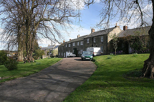
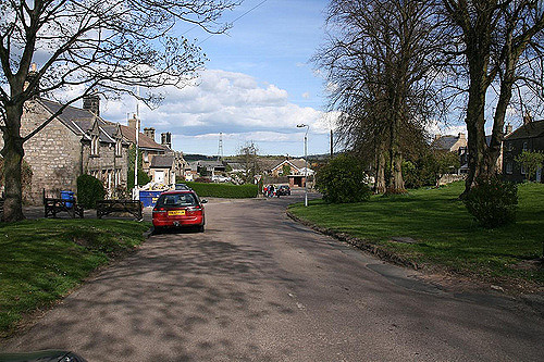
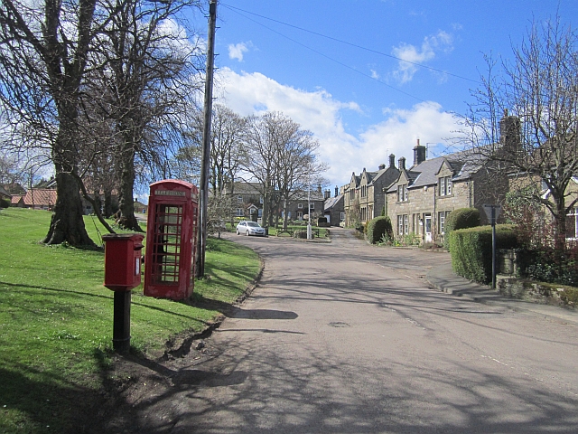
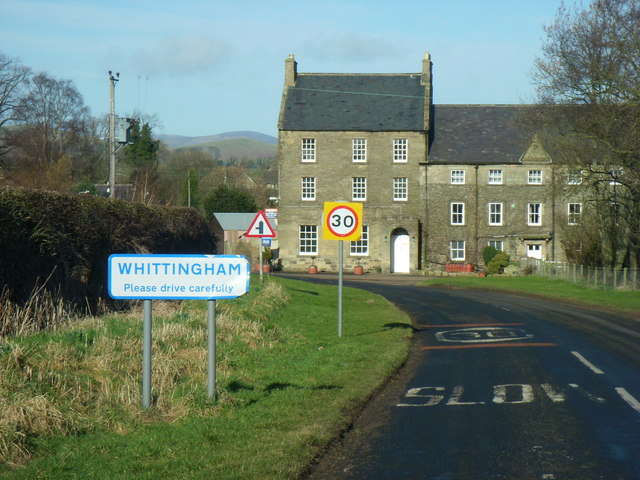
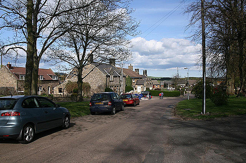
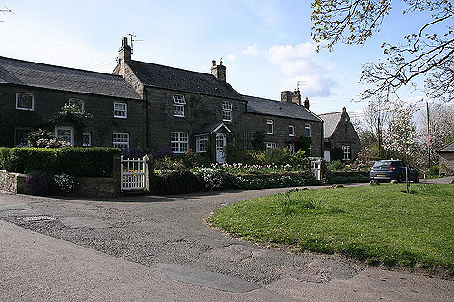
Whittingham is a village and civil parish in Northumberland, England. It is situated on the banks of the River Aln, roughly 4.5 miles east of its source at Alnham and 7.3 miles west of Alnwick.
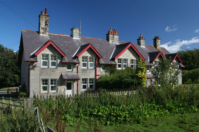
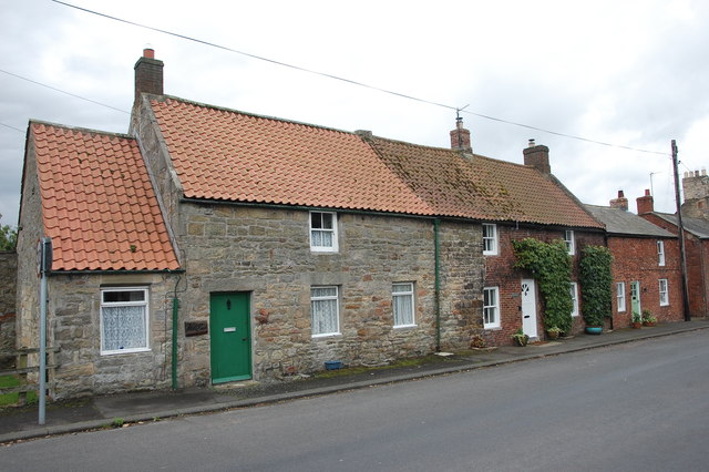
The thirteenth/fourteenth century pele tower, Whittingham Tower, was converted into almshouses in 1845 and is now in private ownership.
History
The village name is thought to derive from Anglo-Saxon times, meaning 'the meeting place of Hwita's people'.
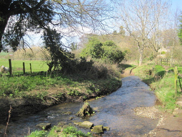
The double ford at the west of the village has led some historians to suggest this is the location of 'Twyford' mentioned in the writings of the Venerable Bede.
Governance
Whittingham is in the parliamentary constituency of Berwick-upon-Tweed.
Geography
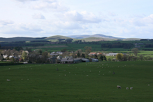
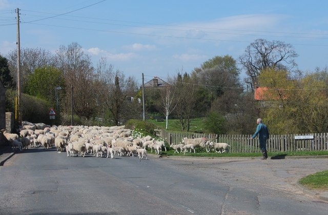
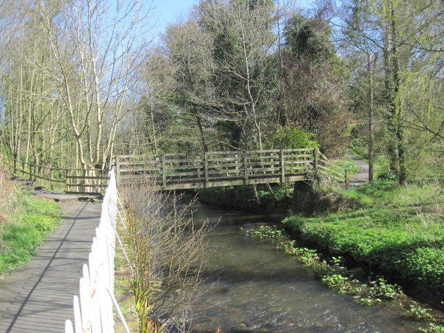
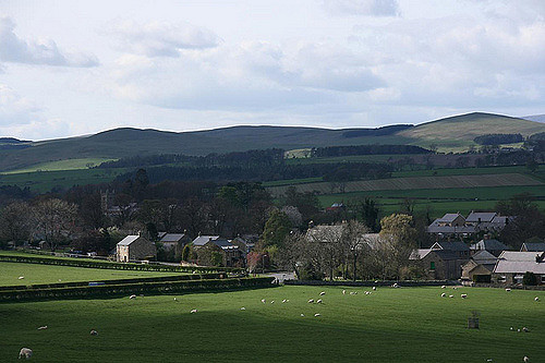
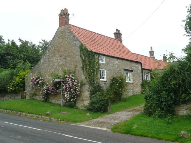
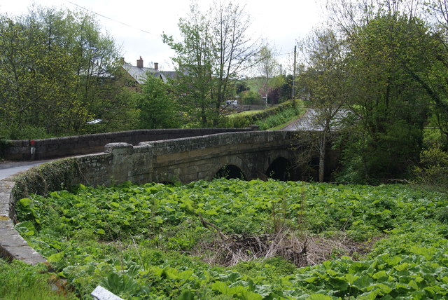
The village sits in the valley of the River Aln; characterised by gentle rolling hills and fertile soils this area is frequently referred to as the Vale of Whittingham. There are road bridges over the river at either end of the village and a footbridge in the centre. At the western end of the village the River Aln meets Callaly Burn and there is a double ford at the confluence with two footbridges alongside.
Economy
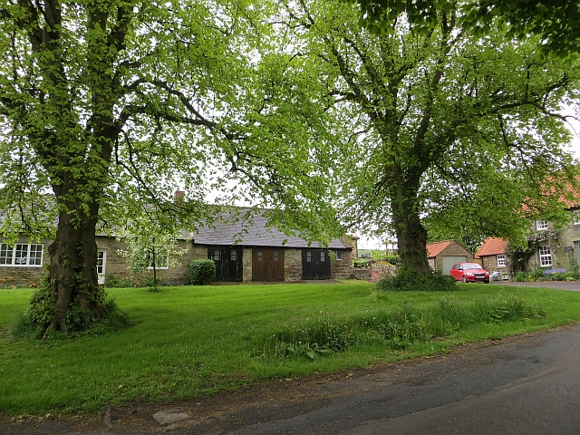
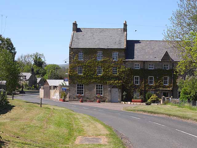
There are no shops in the village any more and the pub has now closed. The nearest shops are in Glanton (a post office) and at Powburn. There is a pub in Glanton and another, the Bridge of Aln Hotel, is east of the village on the A697.
Landmarks
Two Roman Roads passed close to the village – to the east is the Devil's Causeway and south of the village is the road from High Rochester. These met at Learchild fort about 2 km east of the village.
Education
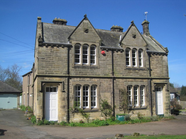
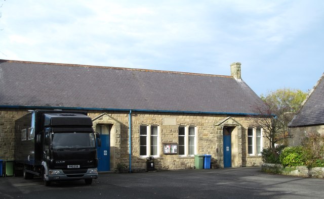
The village has a primary school - Whittingham Church of England First School - with around 60 pupils.
Religious sites
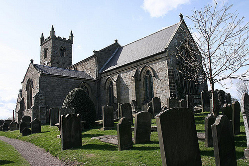
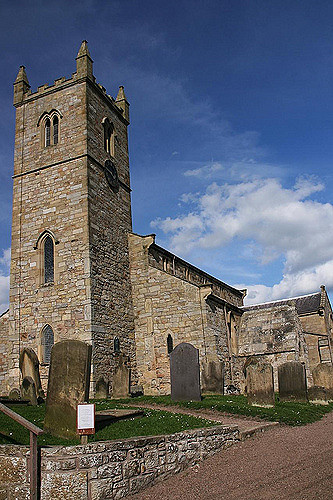
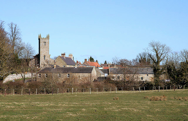
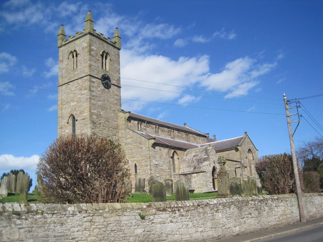
The parish church is dedicated to St Bartholomew. There is stonework in the tower that dates to around 900AD, but a church was recorded here in 735. There are several gravestones in the churchyard that have engravings of skulls on them, these are known as Memento Mori stones and are listed monuments.
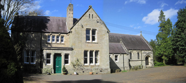
Halfway between the village and Glanton, situated in a small copse, is St. Mary's Roman Catholic church.
Visit the page: Whittingham, Northumberland for references and further details. You can contribute to this article on Wikipedia.
Co-Curate Page
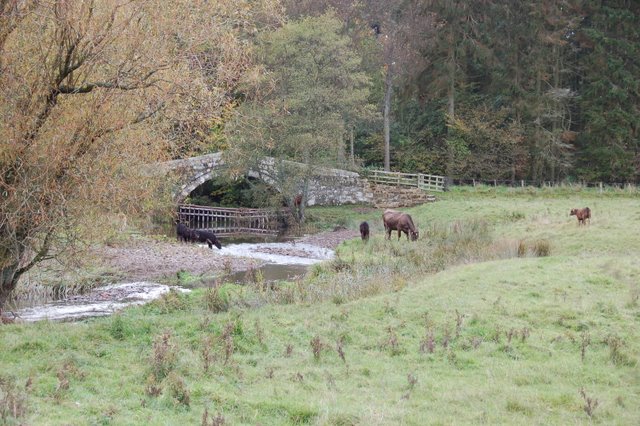
Callaly Burn
- Callaly Burn is a small river in Northumberland, which is a tributary of the River Aln. The burn is 7 km long, with a catchment area of 13.3 km2.[1] Callaly …

Co-Curate Page
Callaly Burn
- Callaly Burn is a small river in Northumberland, which is a tributary of the River Aln. The burn is 7 km long, with a catchment area of 13.3 km2.[1] Callaly …

Northumberland
Church of St Bartholomew, Whittingham
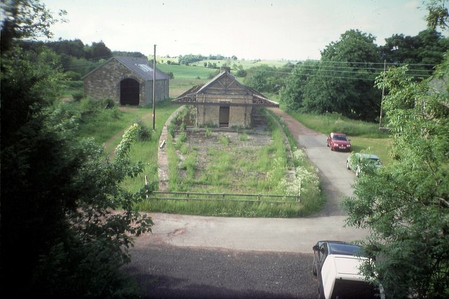
Former Whittingham Station
Lady's Bridge, Eslington Park

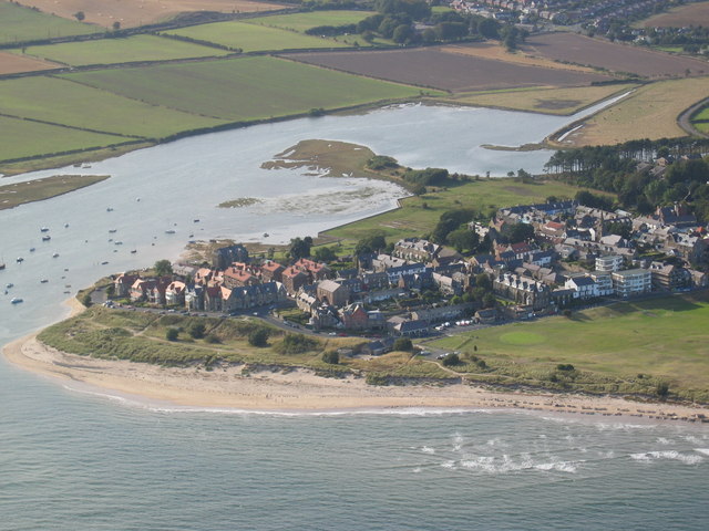
Map and Aerial View of Whittingham
Old Court House and Police Station, Whittingham
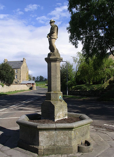
Ravensworth Statue and Fountain, Whittingham
RC Church of St Mary & Presbytery, Whittingham
The Castle (former inn), Whittingham
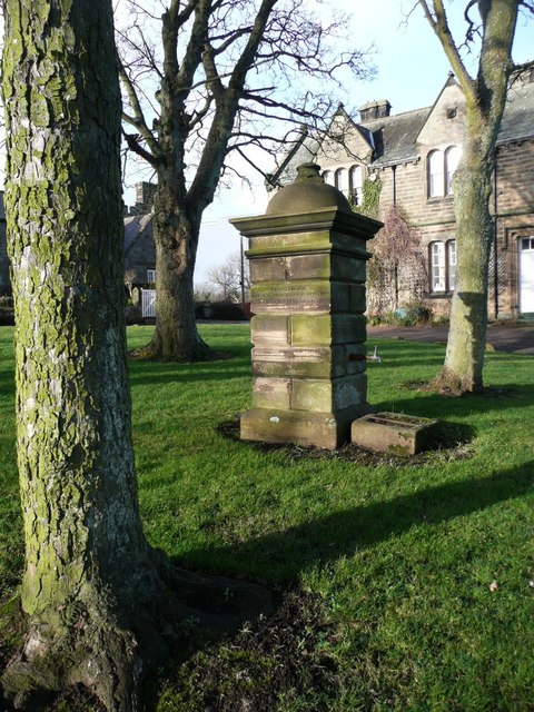
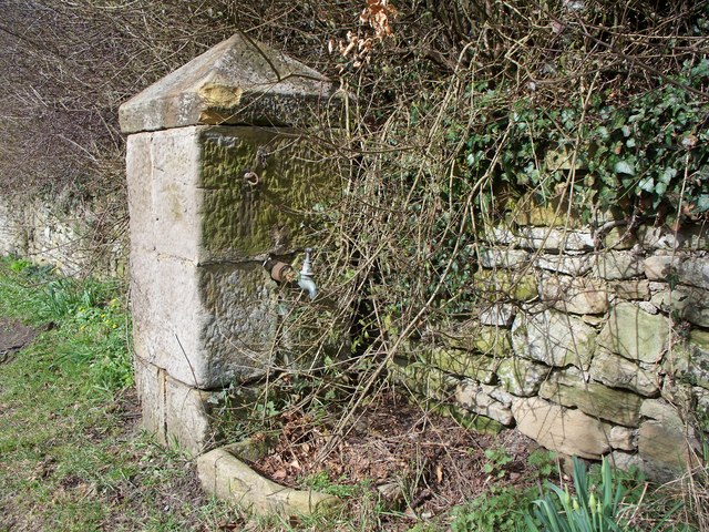
Village Pant, Whittingham

Whittingham at War
Whittingham Bridge
Whittingham C of E Primary School

Whittingham Conservation Area
Whittingham Memorial Institute (village hall)
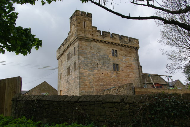
Whittingham Tower