Topics > Historical Periods > 19th Century > 1820s > 1827
1827
In Northern England:
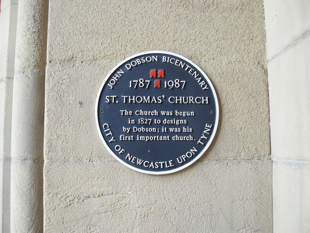
- 1827: John Dobson begins building St Thomas The Martyr's Church in Newcastle (completed 1830).
from Newcastle libraries (flickr)
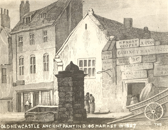
067436:Pant Bigg Market Newcastle upon Tyne Unknown 1827
Pinned by Simon Cotterill
from http://books.google.co.uk/boo…
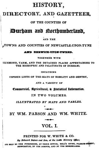
History, directory, and gazetteer of the counties of Durham and Northumberland, by W. Parson and W. White, 1827
- Available as a free eBook digitised by Google
Added by
Simon Cotterill
from Newcastle libraries (flickr)
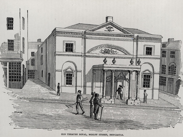
050212:Theatre Royal Mosley Street Newcastle upon Tyne Unknown c.1827
Pinned by Simon Cotterill
from http://www.british-history.ac…
Descriptive and Historical Account of the Town and County of Newcastle-upon-Tyne, Eneas Mackenzie, 1827
- Historical Account of Newcastle-Upon-Tyne Including the Borough of Gateshead. Free content digitised by double rekeying.
Added by
Simon Cotterill
Co-Curate Page
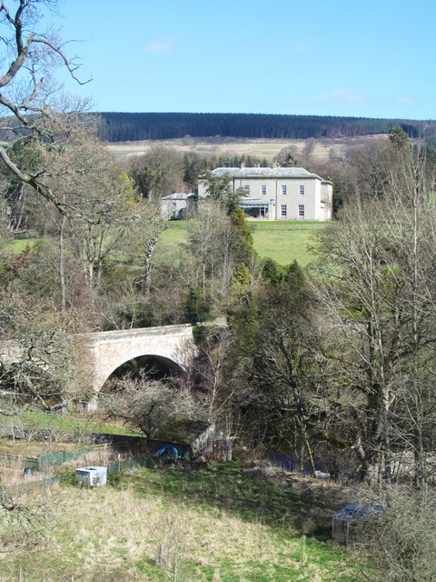
Eggleston Hall
- Overview About Eggleston Hall Map Eggleston Hall is a large country house by the north banks of the River Tees at Eggleston in County Durham. It was built on the site …
Co-Curate Page
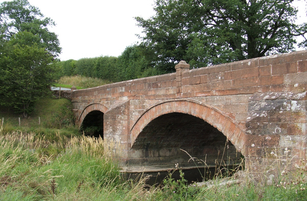
Cliburn Mill bridge
- Overview Map Street View Cliburn Mill bridge is a road bridge over the River Lyvennet, which was built in 1827. The bridge is located about ¾ mile east of the …
Co-Curate Page
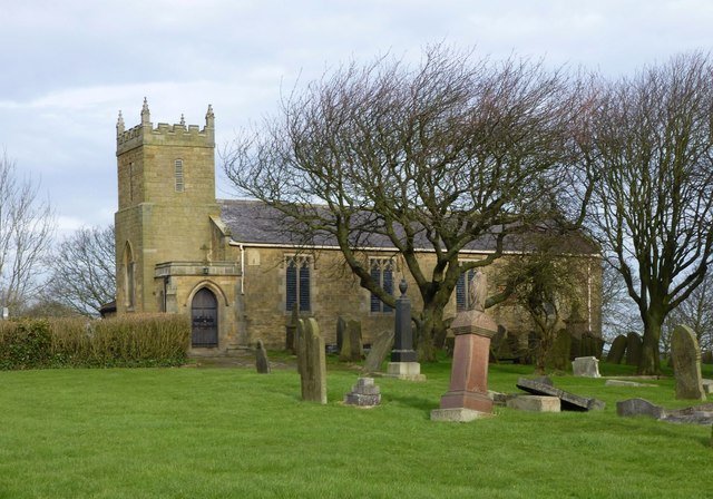
Church of St. Mary, Horton, Blyth
- Overview Map Street View The Church of St. Mary the Virgin is the parish church located on Horton Road in Horton, Blyth. The church is on the site of a medieval …
Co-Curate Page
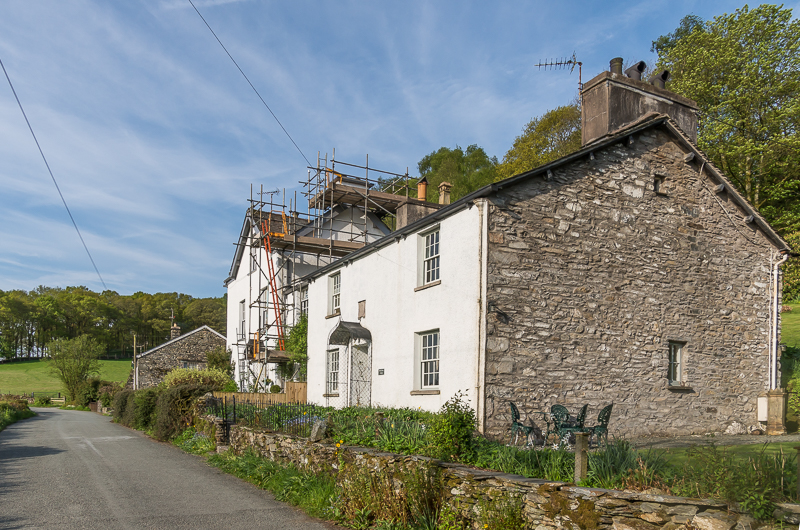
Wiffin Beck Cottage, High Cunsey
- Overview Map Street View Wiffin Beck Cottage is located in High Cunsey and has a date stone inscribed "GS 1827". Previously named the White House, the building is listed on …

from Newcastle libraries (flickr)
067436:Pant Bigg Market Newcastle upon Tyne Unknown 1827
Pinned by Simon Cotterill
from http://books.google.co.uk/boo…
History, directory, and gazetteer of the counties of Durham and Northumberland, by W. Parson and W. White, 1827
- Available as a free eBook digitised by Google
Added by
Simon Cotterill
from Newcastle libraries (flickr)
050212:Theatre Royal Mosley Street Newcastle upon Tyne Unknown c.1827
Pinned by Simon Cotterill
from http://www.british-history.ac…
Descriptive and Historical Account of the Town and County of Newcastle-upon-Tyne, Eneas Mackenzie, 1827
- Historical Account of Newcastle-Upon-Tyne Including the Borough of Gateshead. Free content digitised by double rekeying.
Added by
Simon Cotterill
Co-Curate Page
Eggleston Hall
- Overview About Eggleston Hall Map Eggleston Hall is a large country house by the north banks of the River Tees at Eggleston in County Durham. It was built on the site …
Co-Curate Page
Cliburn Mill bridge
- Overview Map Street View Cliburn Mill bridge is a road bridge over the River Lyvennet, which was built in 1827. The bridge is located about ¾ mile east of the …
Co-Curate Page
Church of St. Mary, Horton, Blyth
- Overview Map Street View The Church of St. Mary the Virgin is the parish church located on Horton Road in Horton, Blyth. The church is on the site of a medieval …