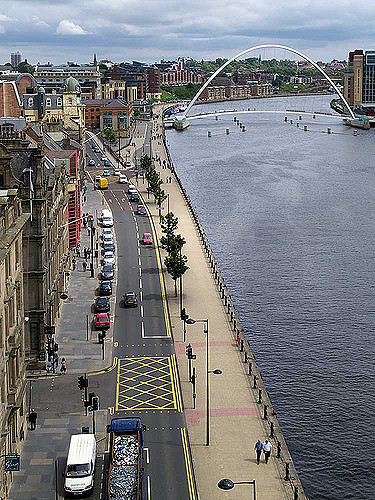
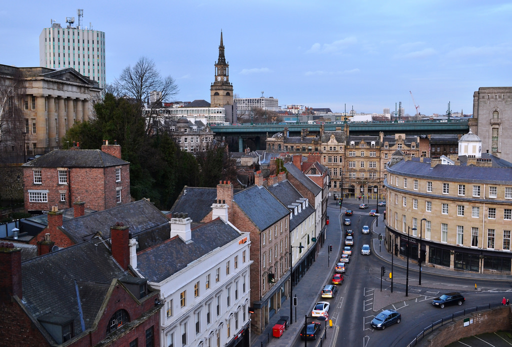
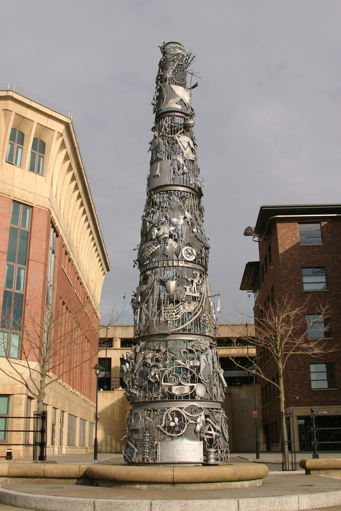
Topics > Newcastle City Centre > Newcastle Quayside (area)
Newcastle Quayside (area)
from Newcastle libraries (flickr)
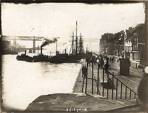
071299:Quayside/The Swirle Newcastle upon Tyne Unknown 1908
Pinned by Simon Cotterill
from Newcastle libraries (flickr)
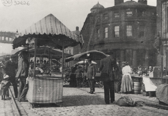
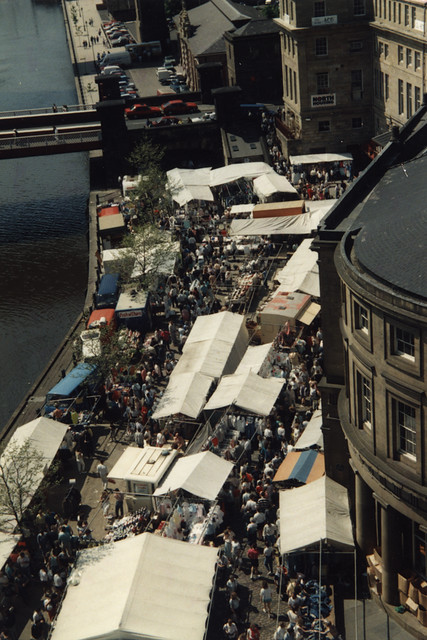
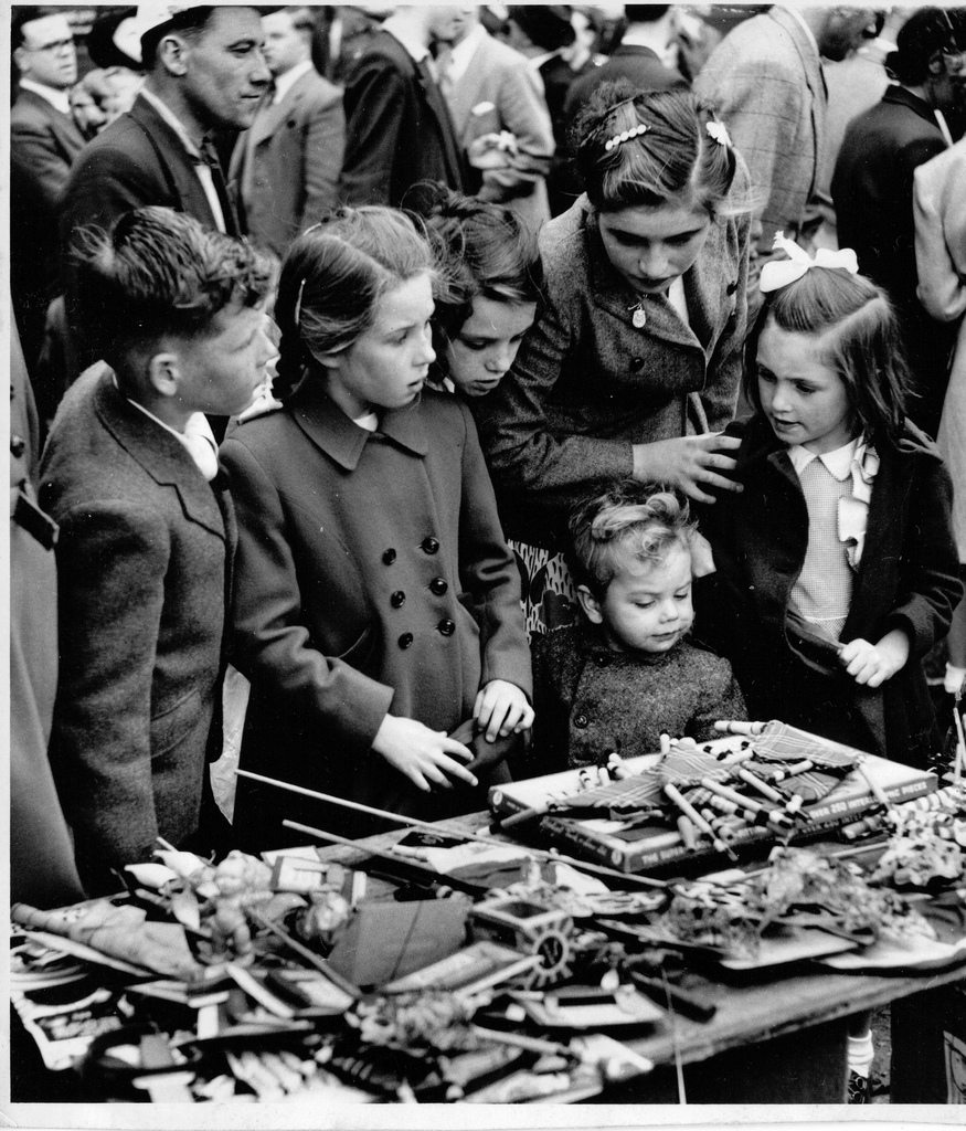
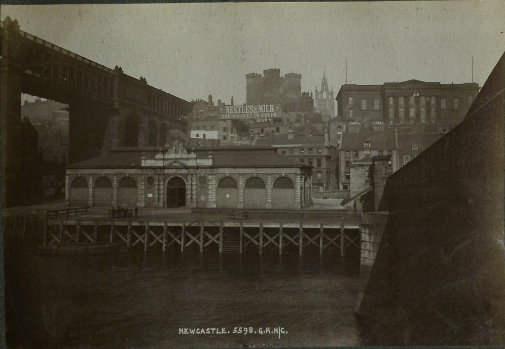
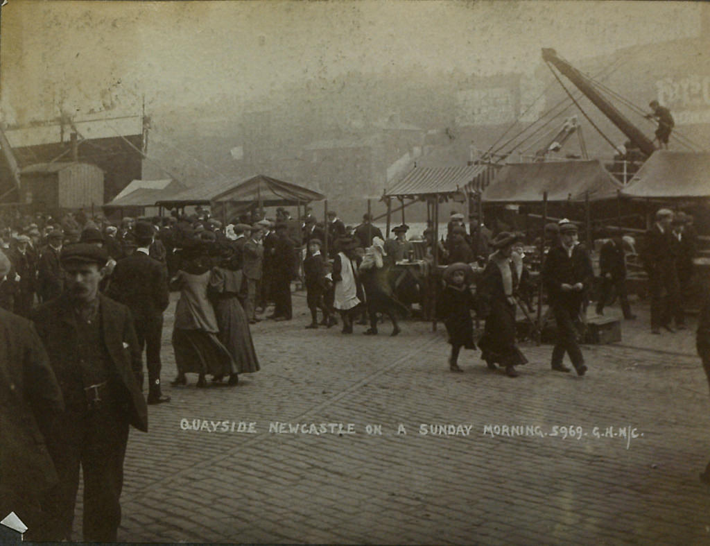
030664:Quayside Market Newcastle upon Tyne Unknown c.1900
Pinned by Simon Cotterill
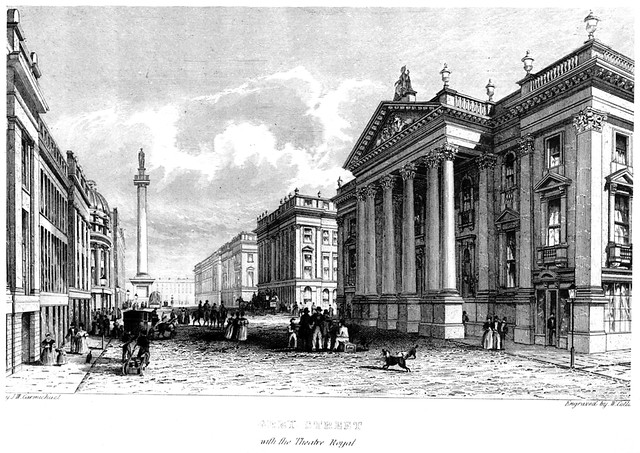
from Newcastle libraries (flickr)
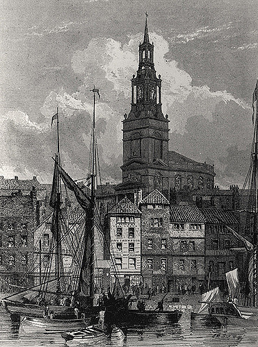
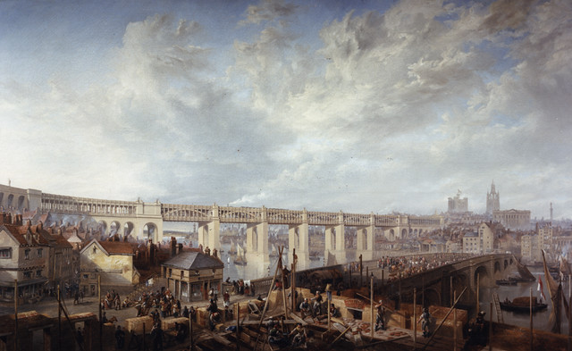
048878:All Saints Church Newcastle upon Tyne Carmichael J.W. 1842
Pinned by Simon Cotterill
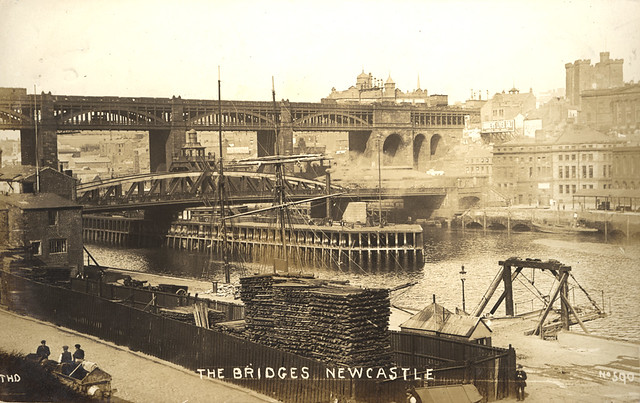
from Newcastle libraries (flickr)
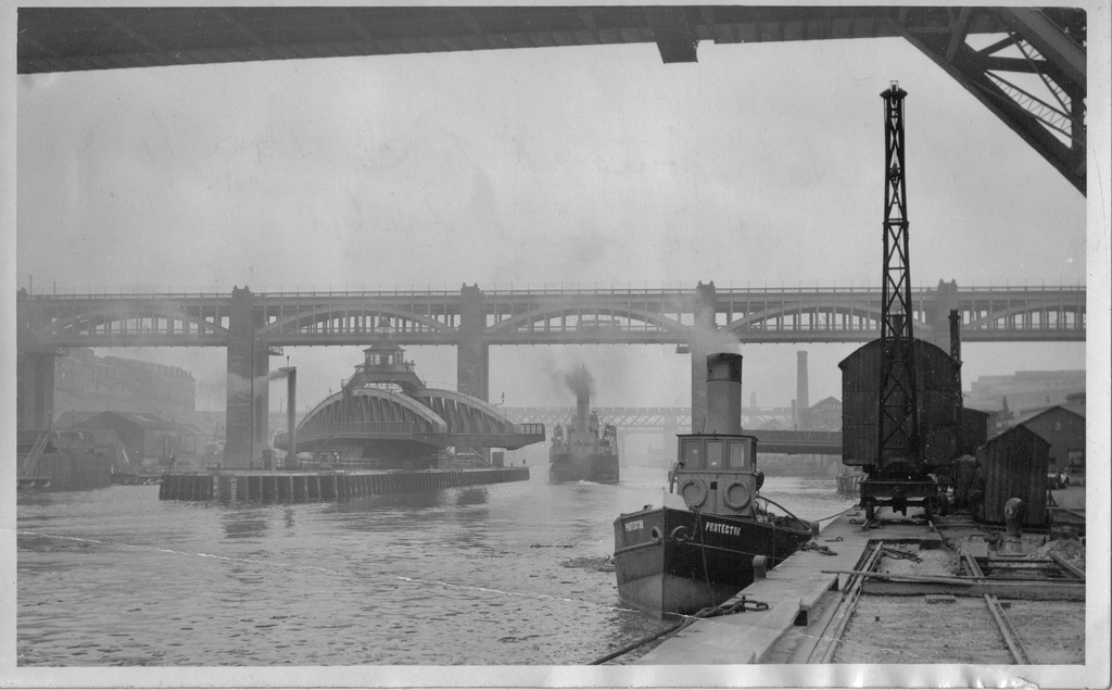
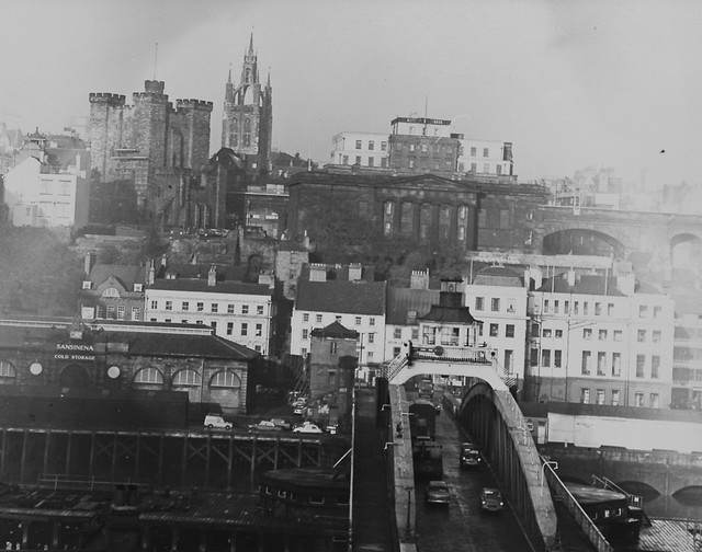
060783:Newcastle Bridges, Newcastle upon Tyne, pre-1912
Pinned by Simon Cotterill
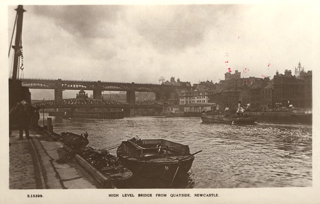
from Newcastle libraries (flickr)
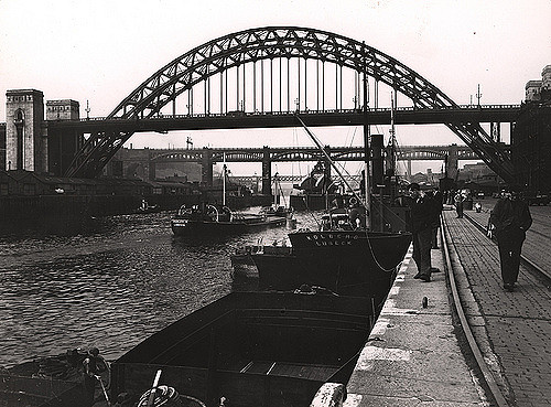
068070:High Level and Swing Bridges Newcastle upon Tyne Unknown c.1920
Pinned by Simon Cotterill
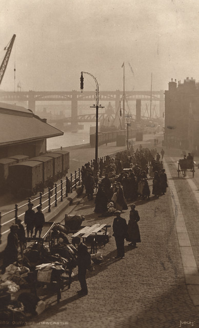
from Newcastle libraries (flickr)
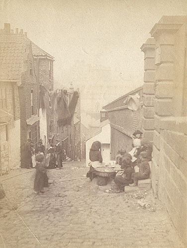
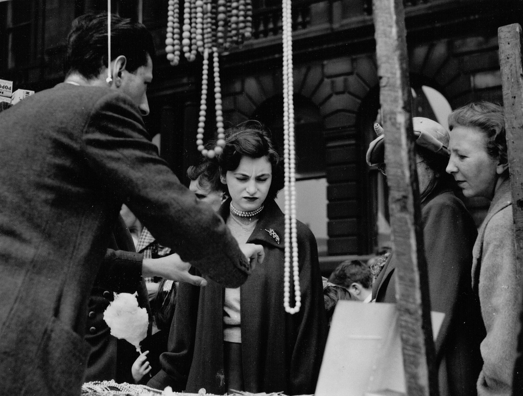
052327:Paddy's Market Quayside Newcastle upon Tyne Unknown c.1900s
Pinned by Simon Cotterill
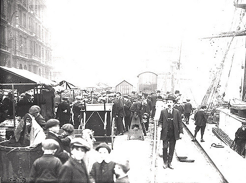
from Newcastle libraries (flickr)
027540:Quayside Market Newcastle upon Tyne Unknown c.1900
Pinned by Simon Cotterill

from Newcastle libraries (flickr)
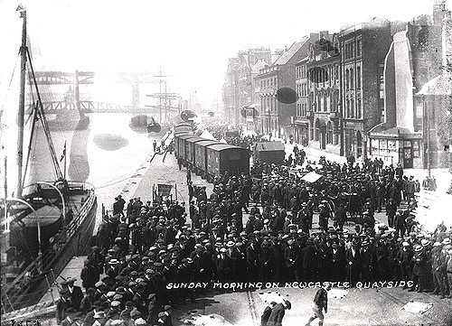
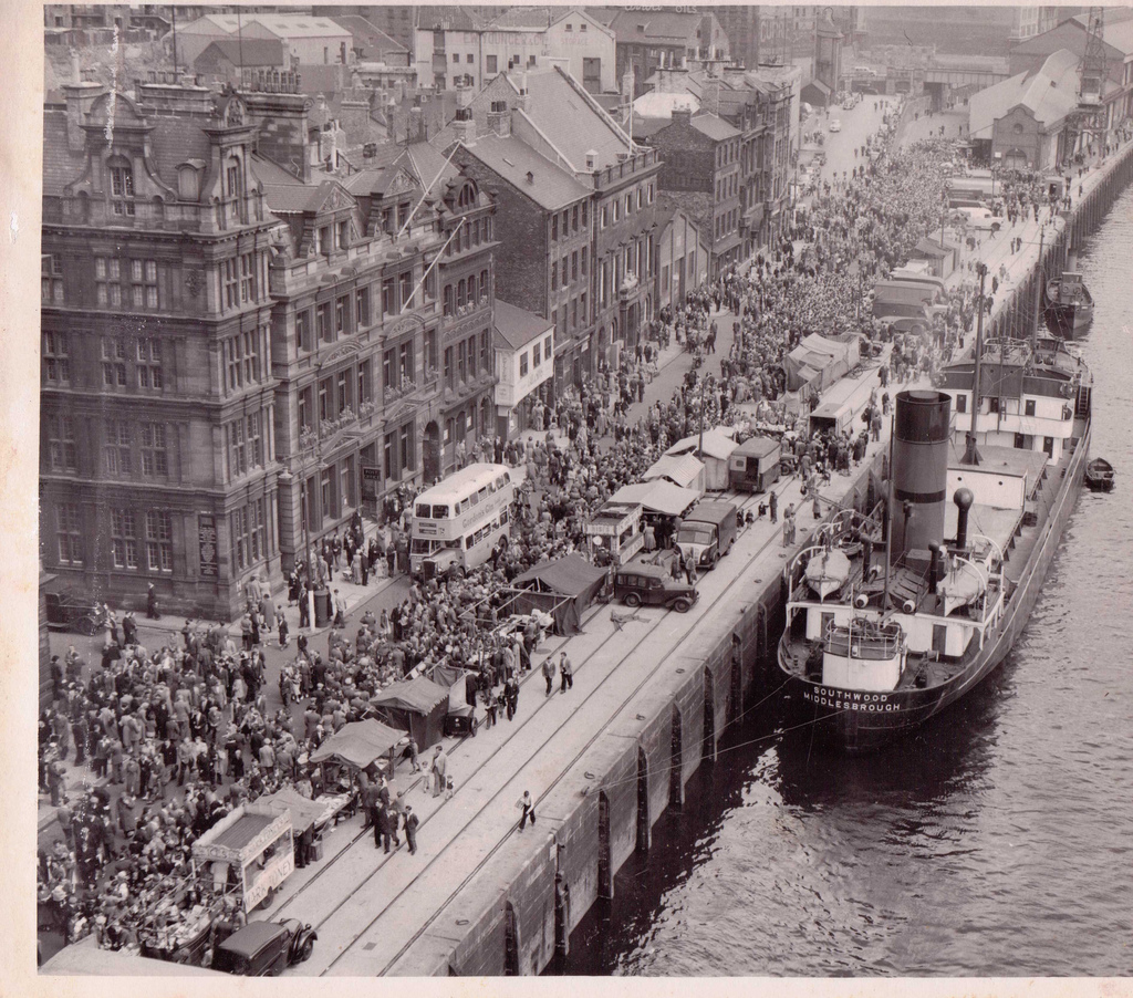
050784:The Quayside Newcastle upon Tyne Unknown 1908
Pinned by Simon Cotterill
from Newcastle libraries (flickr)
027539:Quayside Market Newcastle upon Tyne Unknown c.1900
Pinned by Simon Cotterill
from Newcastle libraries (flickr)
050008:Quayside Market Newcastle upon Tyne Unknown Undated
Pinned by Simon Cotterill
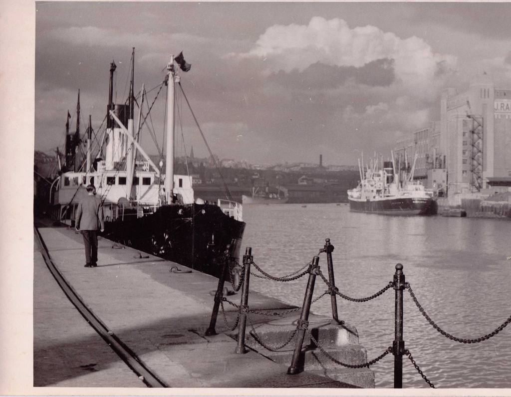
from Newcastle libraries (flickr)
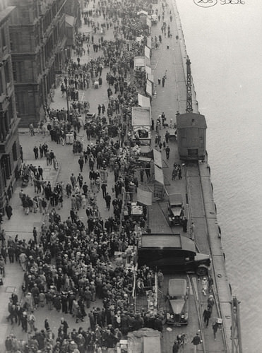
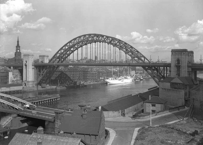
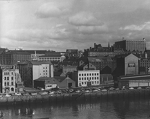
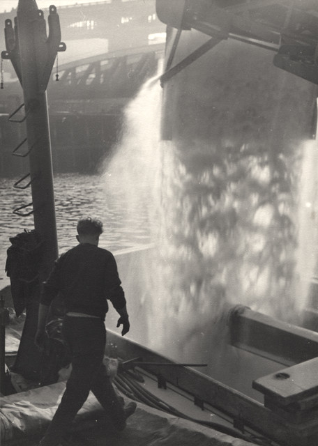
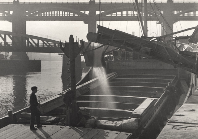
038925:Quayside Newcastle upon Tyne unknown c.1947
Pinned by Simon Cotterill
from Newcastle libraries (flickr)
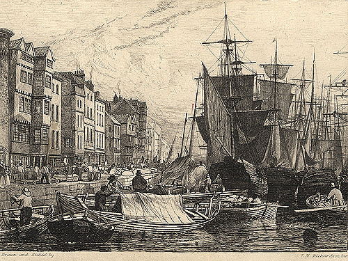
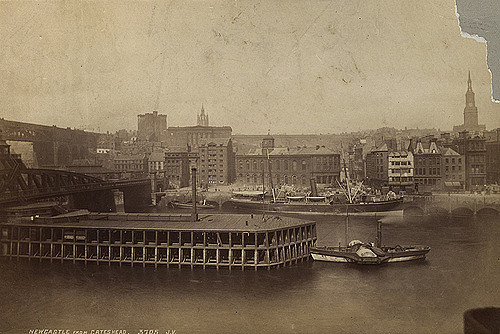
004002:Quayside Newcastle Upon Tyne. 1880
Pinned by Simon Cotterill
from Newcastle libraries (flickr)
004004:The Quayside Newcastle upon Tyne 1820
Pinned by Simon Cotterill
from Newcastle libraries (flickr)
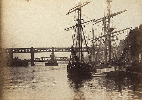
003708: The Devonia on the Quayside, Newcastle upon Tyne c.1880
Pinned by Simon Cotterill
from Newcastle libraries (flickr)
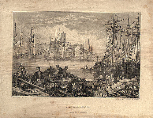
006880:Quayside Gateshead Lambert and Collard c1820
Pinned by Simon Cotterill
from Newcastle libraries (flickr)
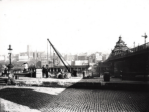
069415:Trinity House, Quayside, Newcastle upon Tyne
Pinned by Simon Cotterill
from Newcastle libraries (flickr)
061200:The Quayside Newcastle upon Tyne Malcolm Maybury 1995
Pinned by Simon Cotterill
from Newcastle libraries (flickr)
069500:Quayside Market Newcastle upon Tyne Unknown Undated
Pinned by Simon Cotterill
Co-Curate Page
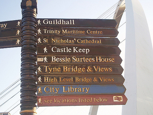
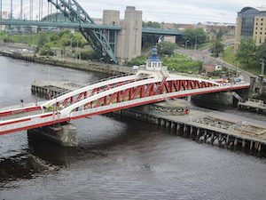
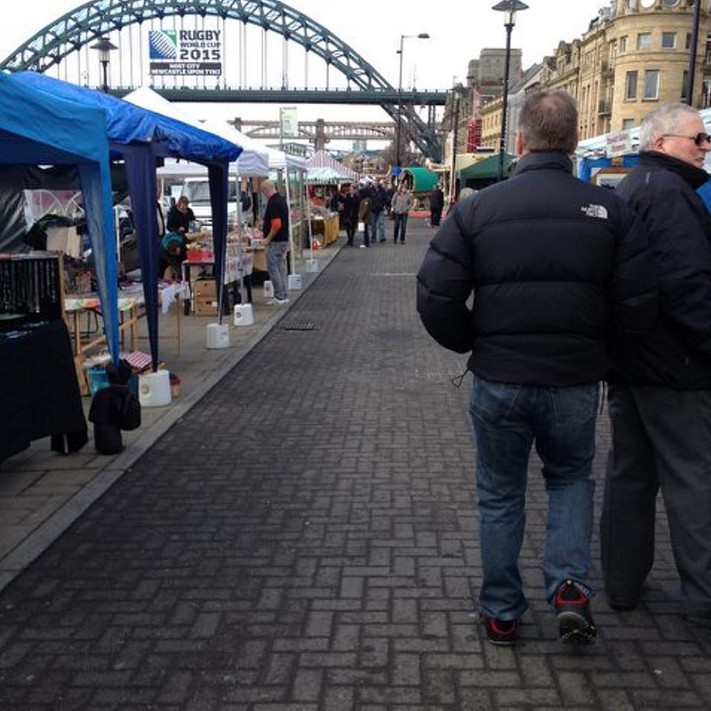
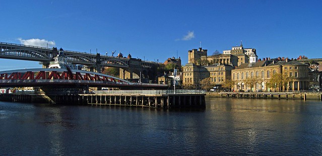
Newcastle Swing Bridge
- Overview Further Information Map Street View The Swing Bridge over the River Tyne was first used for road traffic on 15th June 1876 and opened for river traffic on 17th …
Co-Curate Page
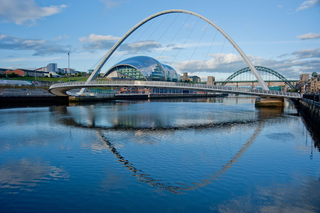
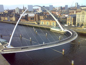
Gateshead Millennium Bridge
- Overview About the Millennium Bridge Map Street View The Gateshead Millennium Bridge is a pedestrian and cycle bridge over the River Tyne. It connects Newcastle Quayside with the Gateshead Quays …
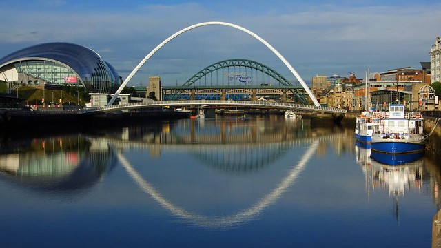
Co-Curate Page
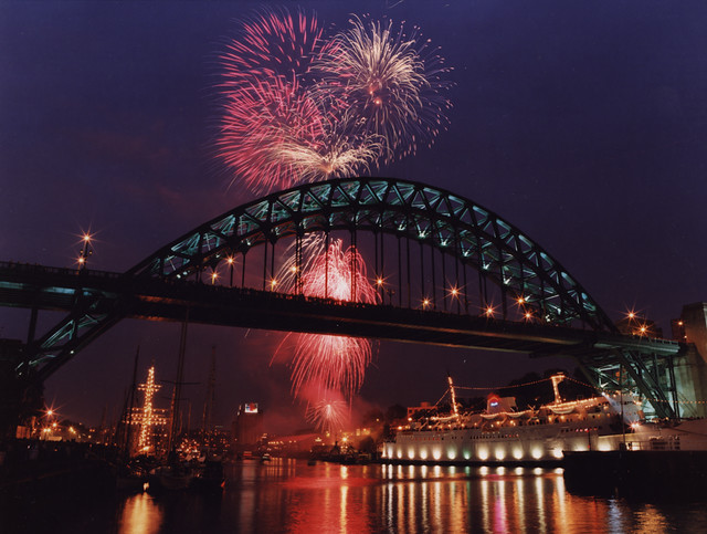
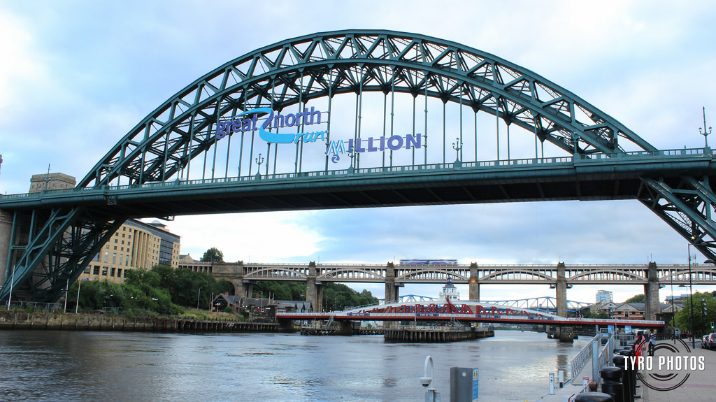
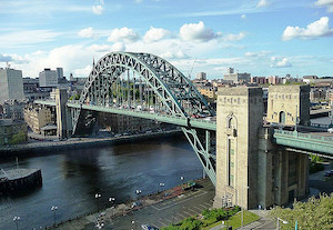
Tyne Bridge
- Overview About the Tyne Bridge Map Street View The Tyne Bridge is an iconic arch bridge over the River Tyne which links Newcastle and Gateshead. Construction of the bridge by …
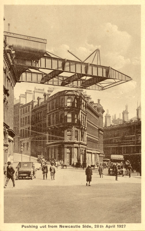
from http://picturesofgateshead.co…
Pushing out from Newcastle Side, 28th April 1927
- Postcard from 'Pictures of Gateshead and the Surrounding Area' by Andy Williamson. The images may be used for non-commercial purposes, subject to acknowledging the source; see: http://picturesofgateshead.co.uk/
Added by
Simon Cotterill
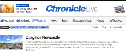
from http://www.chroniclelive.co.u…
Newcastle Quayside
- My grandma and I have many memories of Newcastle Quayside but today it is very different to earlier times when my Grandma was aged 12.
When my grandma was a …
Added by
Simon Cotterill
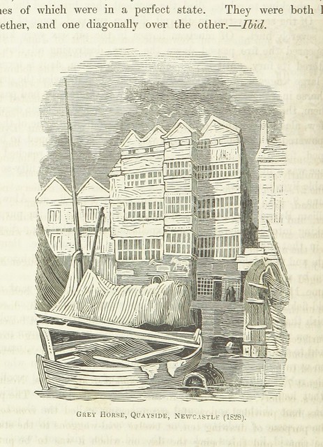
from Flickr (flickr)
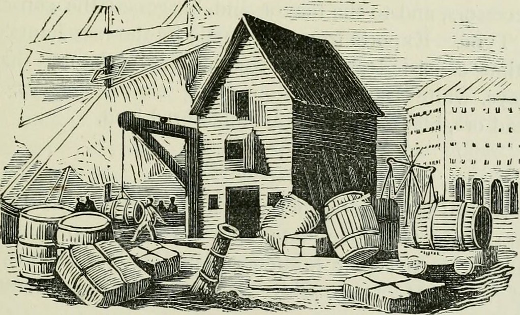
Image taken from page 166 of 'The Local Historian's Table Book of remarkable occurrences, historical facts, traditions, legendary and descriptive ballads, connected with the Counties of Newcastle-upon-Tyne, Northumberland, and Durham. Historical Division.
Pinned by Simon Cotterill
from Newcastle libraries (flickr)
051309:Extension of east end of Quayside 1910
Pinned by Simon Cotterill
from Newcastle libraries (flickr)
071204:The Swirle/Quayside Newcastle upon Tyne Unknown c.1907
Pinned by Simon Cotterill
from Newcastle libraries (flickr)
Tor458, Swing Bridge, Newcastle upon Tyne
Pinned by Simon Cotterill
from Newcastle libraries (flickr)
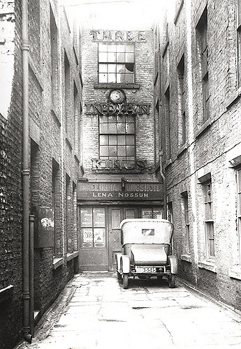
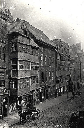
012685:Three Indian Kings Hotel Quayside Unknown early 20th century
Pinned by Simon Cotterill

from Newcastle libraries (flickr)
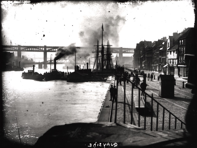
021561:Quayside Newcastle upon Tyne 1971
Pinned by Simon Cotterill

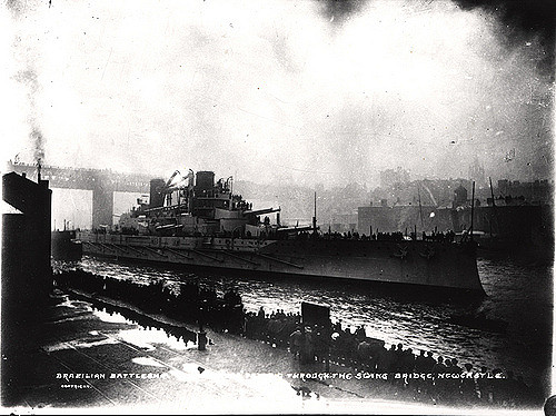
from Newcastle libraries (flickr)
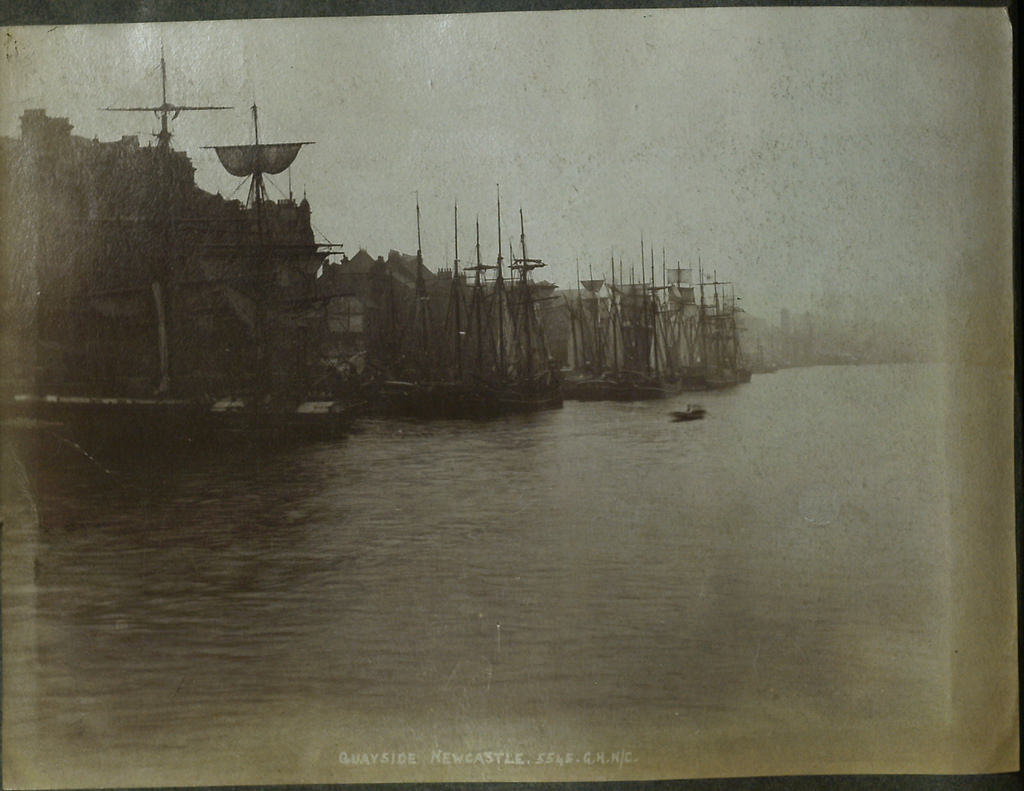
030568:Minas Geraes Newcastle upon Tyne C. 1910
Pinned by Simon Cotterill

from Youtube (youtube)
Tyne River Quayside 4K Drone Mini-Tour (With Commentary) Newcastle | #EpicDroneClips .No.14
Pinned by Simon Cotterill
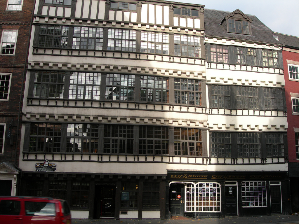
Co-Curate Page
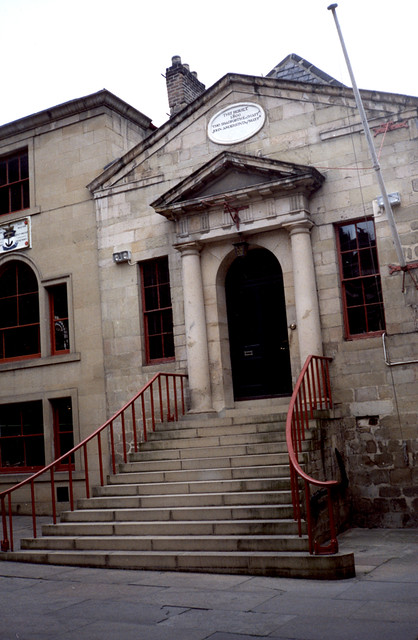
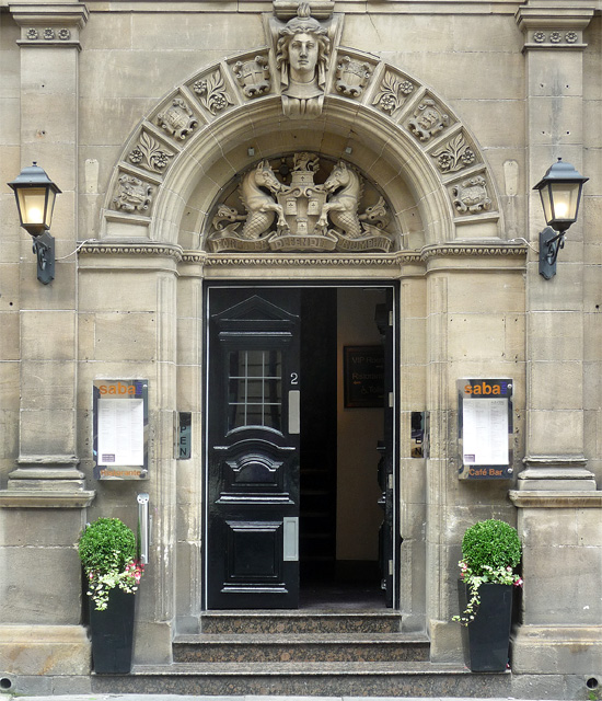
Bessie Surtees' House
- Overview About Bessie Surtees House Map Street View "These two five-storey 16th and 17th century merchants' houses are fine examples of Jacobean domestic architecture, with some splendid period interiors. The …

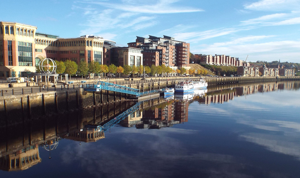
from Flickr (flickr)
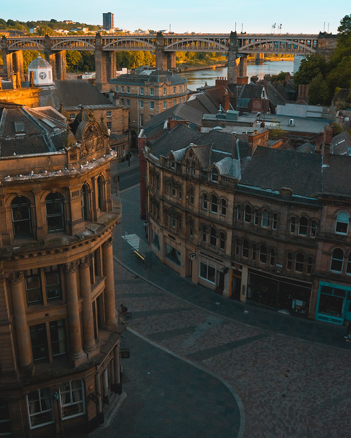
Newcastle upon Tyne Quayside panorama, on a reflective sunny morning
Pinned by Peter Smith
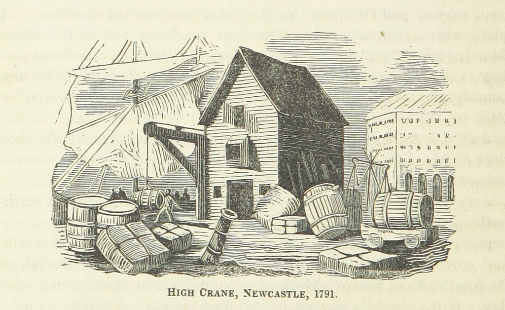
from Flickr (flickr)
The High Crane, near the Guildhall, Newcastle, 18th Century
Pinned by Simon Cotterill
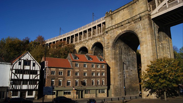
Co-Curate Page
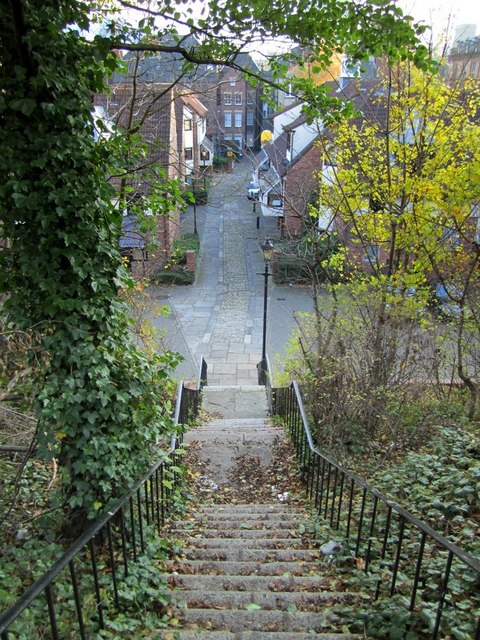
Sandhill
- Overview History Map Street View Sandhill is a street in Newcastle near the riverfront that has been used as a quayside since Roman times. The street was named Sandhill because …

Co-Curate Page
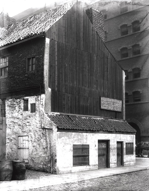
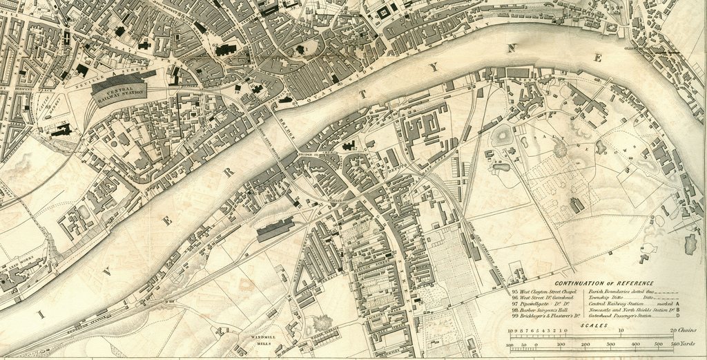
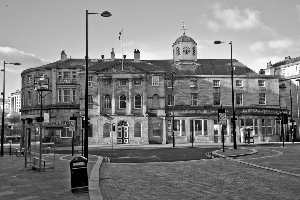
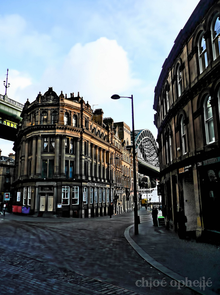
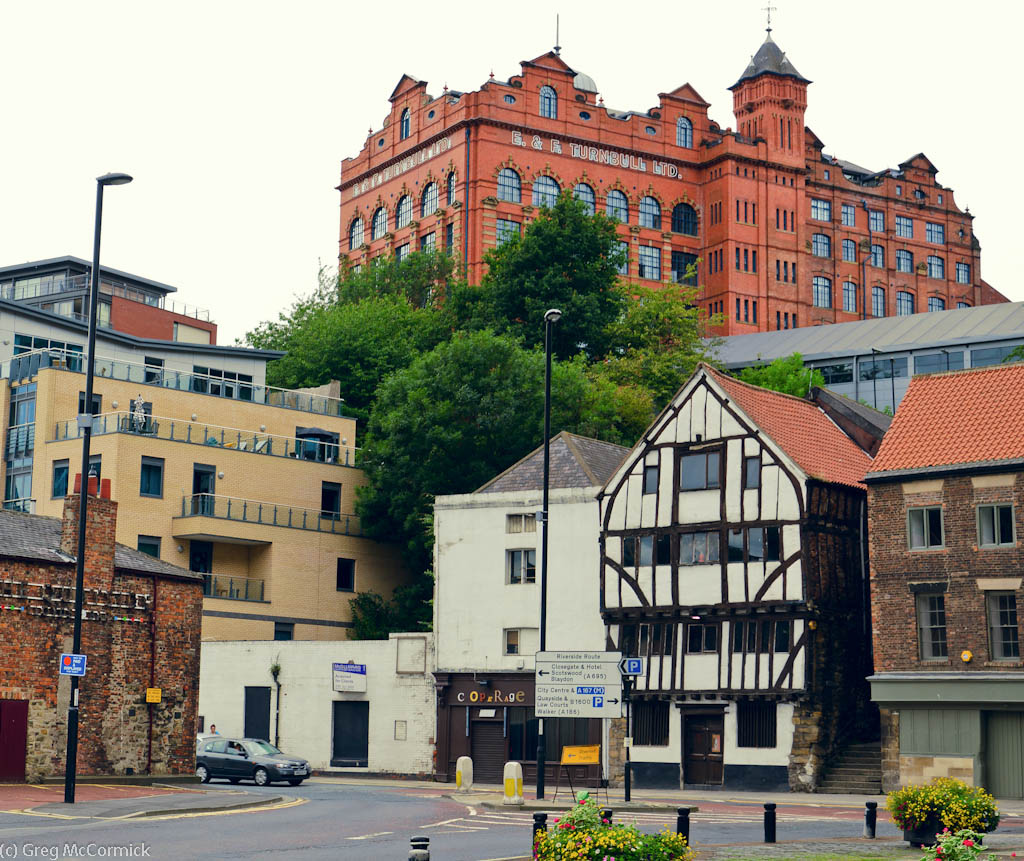
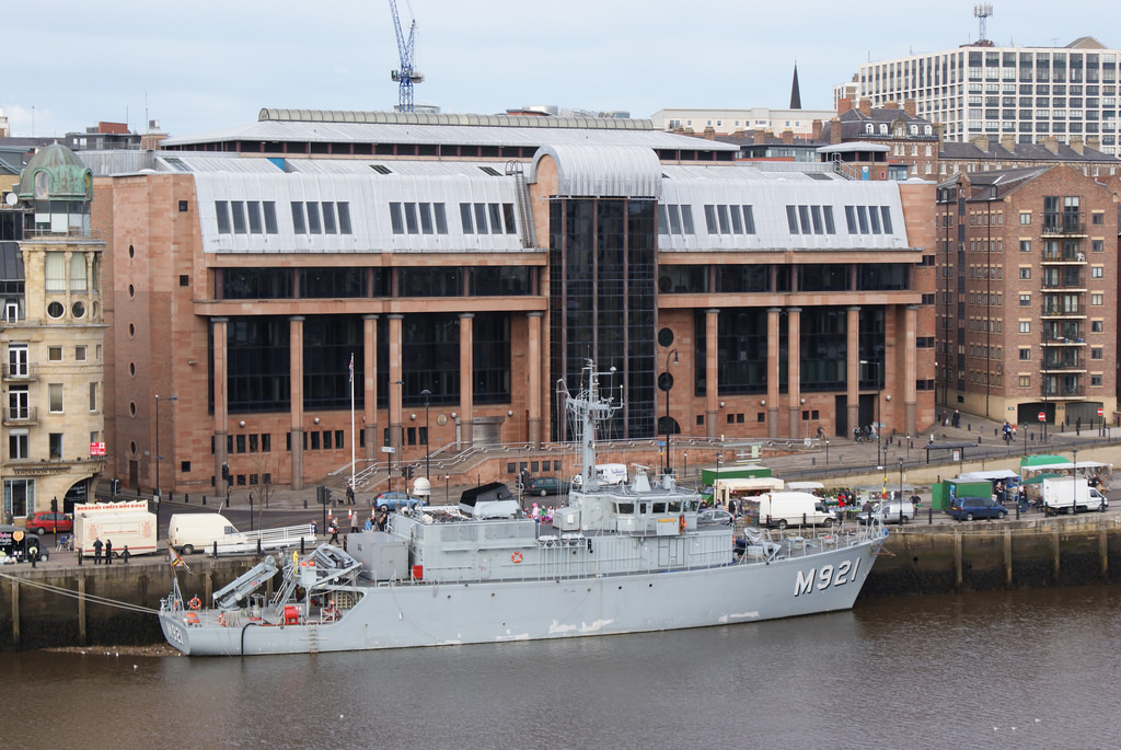
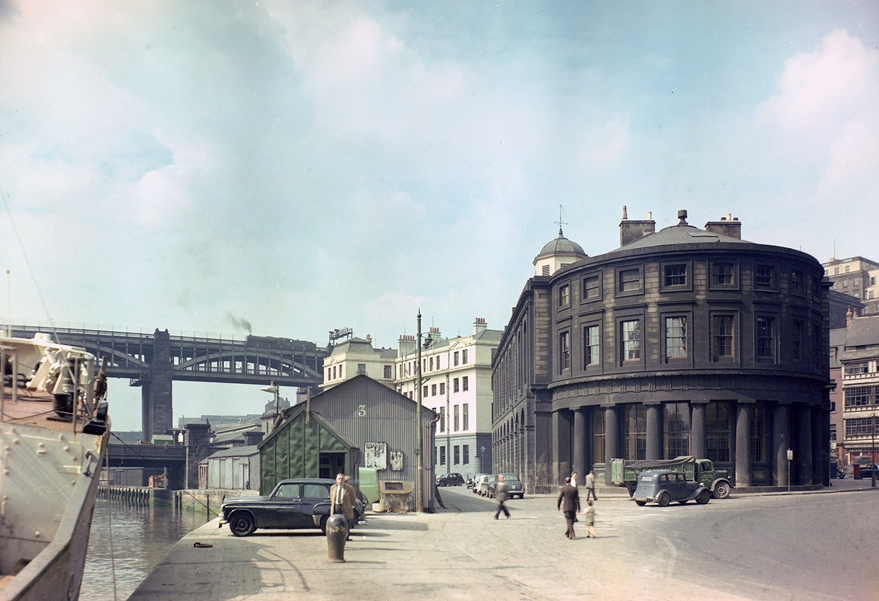
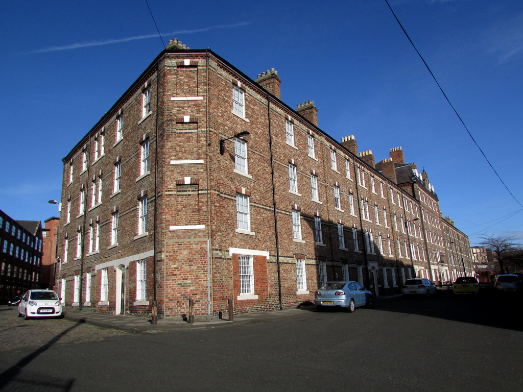
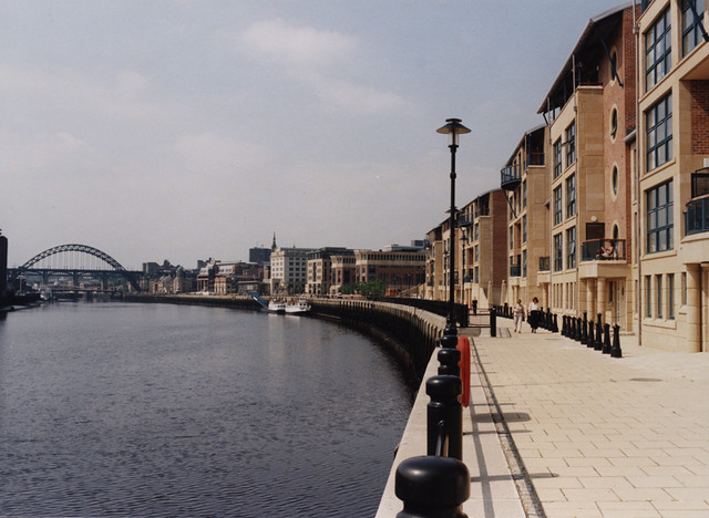
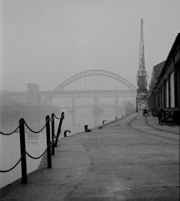
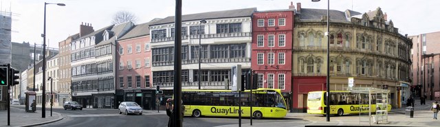
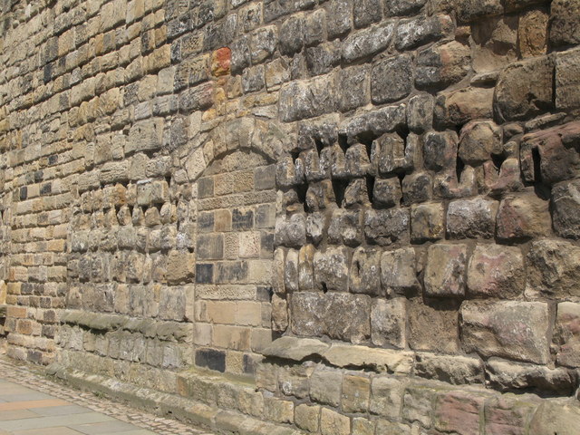
Quayside (street)
- Overview Historical Account Map Street View The Quayside is a historic road in Newcastle upon Tyne that runs along the side of the River Tyne. The waterfront was not fully …
Co-Curate Page
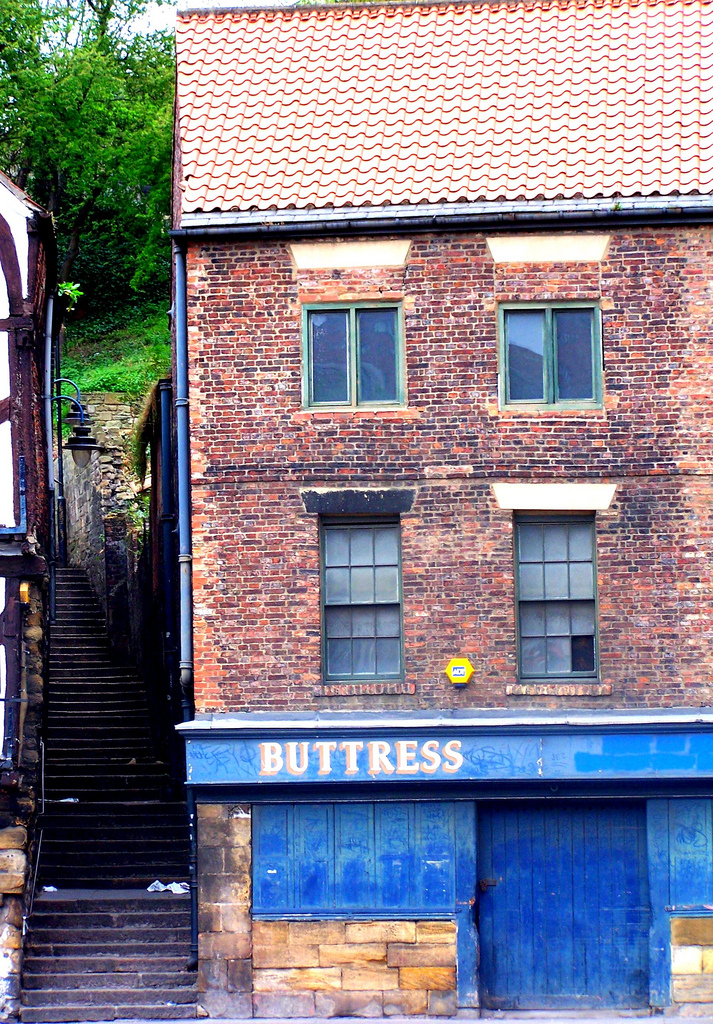
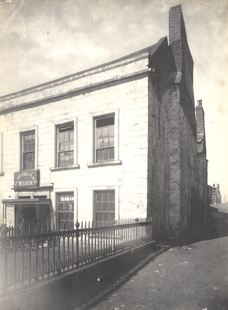
Clavering Place
- Overview Map Street View Clavering Place is a street in Newcastle, which runs south from Westgate Road under a railway viaduct down to Tuthill Stairs, which lead down to the …
Co-Curate Page
Dog Bank
- Overview Map Street View Dog Bank is a narrow street in Newcastle upon Tyne, which joins Akenside Hill and runs around the south edge of the churchyard of All Saints …


from Newcastle libraries (flickr)
071299:Quayside/The Swirle Newcastle upon Tyne Unknown 1908
Pinned by Simon Cotterill
from Newcastle libraries (flickr)
030664:Quayside Market Newcastle upon Tyne Unknown c.1900
Pinned by Simon Cotterill
from Newcastle libraries (flickr)
048878:All Saints Church Newcastle upon Tyne Carmichael J.W. 1842
Pinned by Simon Cotterill
from Newcastle libraries (flickr)
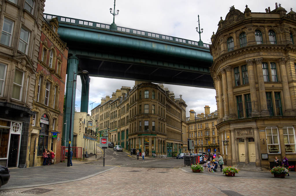
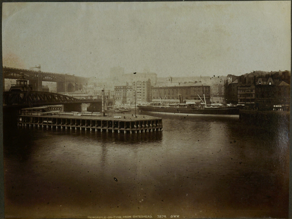
060783:Newcastle Bridges, Newcastle upon Tyne, pre-1912
Pinned by Simon Cotterill
from Newcastle libraries (flickr)
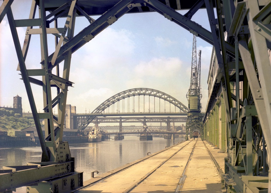
068070:High Level and Swing Bridges Newcastle upon Tyne Unknown c.1920
Pinned by Simon Cotterill
from Newcastle libraries (flickr)
052327:Paddy's Market Quayside Newcastle upon Tyne Unknown c.1900s
Pinned by Simon Cotterill
from Newcastle libraries (flickr)
027540:Quayside Market Newcastle upon Tyne Unknown c.1900
Pinned by Simon Cotterill
from Newcastle libraries (flickr)
050784:The Quayside Newcastle upon Tyne Unknown 1908
Pinned by Simon Cotterill
from Newcastle libraries (flickr)
027539:Quayside Market Newcastle upon Tyne Unknown c.1900
Pinned by Simon Cotterill
from Newcastle libraries (flickr)
050008:Quayside Market Newcastle upon Tyne Unknown Undated
Pinned by Simon Cotterill
from Newcastle libraries (flickr)
038925:Quayside Newcastle upon Tyne unknown c.1947
Pinned by Simon Cotterill
from Newcastle libraries (flickr)
004002:Quayside Newcastle Upon Tyne. 1880
Pinned by Simon Cotterill
from Newcastle libraries (flickr)
004004:The Quayside Newcastle upon Tyne 1820
Pinned by Simon Cotterill
from Newcastle libraries (flickr)
003708: The Devonia on the Quayside, Newcastle upon Tyne c.1880
Pinned by Simon Cotterill
from Newcastle libraries (flickr)
006880:Quayside Gateshead Lambert and Collard c1820
Pinned by Simon Cotterill
from Newcastle libraries (flickr)
069415:Trinity House, Quayside, Newcastle upon Tyne
Pinned by Simon Cotterill
from Newcastle libraries (flickr)
061200:The Quayside Newcastle upon Tyne Malcolm Maybury 1995
Pinned by Simon Cotterill
from Newcastle libraries (flickr)
069500:Quayside Market Newcastle upon Tyne Unknown Undated
Pinned by Simon Cotterill
Co-Curate Page
Newcastle Swing Bridge
- Overview Further Information Map Street View The Swing Bridge over the River Tyne was first used for road traffic on 15th June 1876 and opened for river traffic on 17th …
Co-Curate Page
Gateshead Millennium Bridge
- Overview About the Millennium Bridge Map Street View The Gateshead Millennium Bridge is a pedestrian and cycle bridge over the River Tyne. It connects Newcastle Quayside with the Gateshead Quays …
Co-Curate Page
Tyne Bridge
- Overview About the Tyne Bridge Map Street View The Tyne Bridge is an iconic arch bridge over the River Tyne which links Newcastle and Gateshead. Construction of the bridge by …
from http://picturesofgateshead.co…
Pushing out from Newcastle Side, 28th April 1927
- Postcard from 'Pictures of Gateshead and the Surrounding Area' by Andy Williamson. The images may be used for non-commercial purposes, subject to acknowledging the source; see: http://picturesofgateshead.co.uk/
Added by
Simon Cotterill
from http://www.chroniclelive.co.u…
Newcastle Quayside
- My grandma and I have many memories of Newcastle Quayside but today it is very different to earlier times when my Grandma was aged 12.
When my grandma was a …
Added by
Simon Cotterill
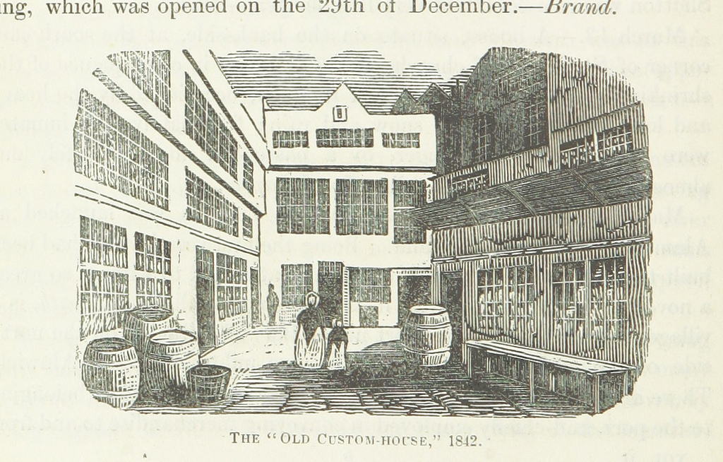
from Flickr (flickr)
Image taken from page 166 of 'The Local Historian's Table Book of remarkable occurrences, historical facts, traditions, legendary and descriptive ballads, connected with the Counties of Newcastle-upon-Tyne, Northumberland, and Durham. Historical Division.
Pinned by Simon Cotterill
from Newcastle libraries (flickr)
051309:Extension of east end of Quayside 1910
Pinned by Simon Cotterill
from Newcastle libraries (flickr)
071204:The Swirle/Quayside Newcastle upon Tyne Unknown c.1907
Pinned by Simon Cotterill
from Newcastle libraries (flickr)
Tor458, Swing Bridge, Newcastle upon Tyne
Pinned by Simon Cotterill
from Newcastle libraries (flickr)
012685:Three Indian Kings Hotel Quayside Unknown early 20th century
Pinned by Simon Cotterill
from Newcastle libraries (flickr)
021561:Quayside Newcastle upon Tyne 1971
Pinned by Simon Cotterill
from Newcastle libraries (flickr)
030568:Minas Geraes Newcastle upon Tyne C. 1910
Pinned by Simon Cotterill
from Youtube (youtube)
Tyne River Quayside 4K Drone Mini-Tour (With Commentary) Newcastle | #EpicDroneClips .No.14
Pinned by Simon Cotterill
Co-Curate Page
Bessie Surtees' House
- Overview About Bessie Surtees House Map Street View "These two five-storey 16th and 17th century merchants' houses are fine examples of Jacobean domestic architecture, with some splendid period interiors. The …
from Flickr (flickr)
Newcastle upon Tyne Quayside panorama, on a reflective sunny morning
Pinned by Peter Smith
from Flickr (flickr)
The High Crane, near the Guildhall, Newcastle, 18th Century
Pinned by Simon Cotterill
Co-Curate Page
Sandhill
- Overview History Map Street View Sandhill is a street in Newcastle near the riverfront that has been used as a quayside since Roman times. The street was named Sandhill because …
Co-Curate Page
Quayside (street)
- Overview Historical Account Map Street View The Quayside is a historic road in Newcastle upon Tyne that runs along the side of the River Tyne. The waterfront was not fully …
Co-Curate Page
Clavering Place
- Overview Map Street View Clavering Place is a street in Newcastle, which runs south from Westgate Road under a railway viaduct down to Tuthill Stairs, which lead down to the …
Co-Curate Page
Dog Bank
- Overview Map Street View Dog Bank is a narrow street in Newcastle upon Tyne, which joins Akenside Hill and runs around the south edge of the churchyard of All Saints …