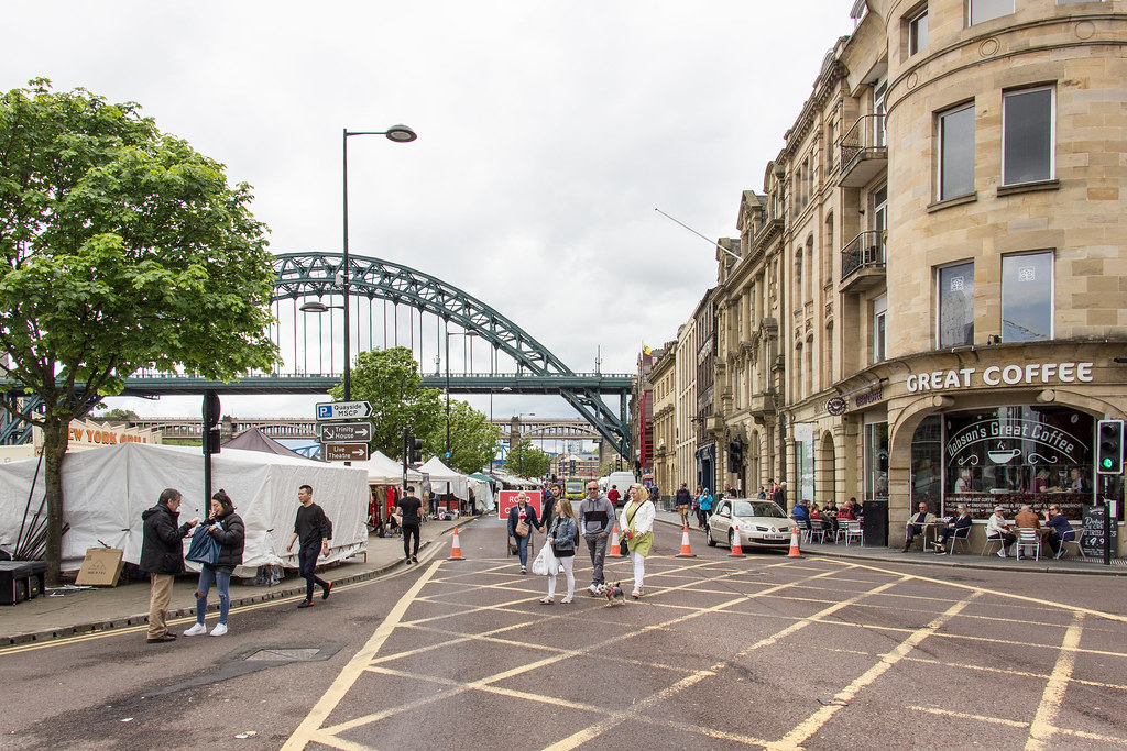
Topics > Newcastle City Centre > Streets > Quayside (street)
Quayside (street)
Account of the Quay by Mackenzie (1827):
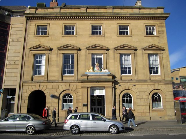
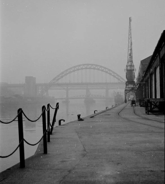
The Quay, or Keyside, is built, like all the lower parts of the town, upon sand. Previous to the year 1763, it was bounded on the south side by the town-wall, which rendered the street very narrow, dirty, and inconvenient. It is at present one of the longest and most commodious wharfs in the kingdom; being, from Sandgate to the Tyne Bridge, about 541 yards in length. The whole line is usually crowded with shipping, keels, wherries, steam-boats, and other small craft; and exhibits a continual, varied, and pleasing bustle. The entire street consists of shops, ware-rooms, offices, and public houses; and the situation being so convenient for those concerned in the shipping trade, property is very valuable here, and every contrivance is employed to adapt the shops and houses to the taste and necessities of modern times. After the old wall was pulled down, the east end of the Quayside, from Spicer Lane to Sandgate, was divided by iron rails, and the part next the river was descended by several steps; but a few years ago, it was raised and levelled, and now forms a fine broad wharf, used mostly by Scotch vessels. The west end of the Quayside, opposite to the Exchange, was also considerably widened in the year 1811.

from http://www.twsitelines.info/S…
Tyne and Wear HER(1596): Newcastle, Quayside (The Key)
- "Documentary evidence suggests that the waterfront was not fully developed until the late 13th century or 14th century. There is archaeological evidence to suggest that reclamation was necessary before the …
Added by
Simon Cotterill
from Newcastle libraries (flickr)
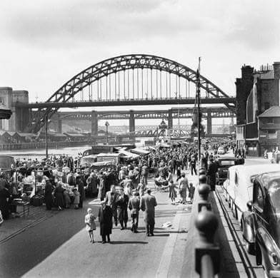
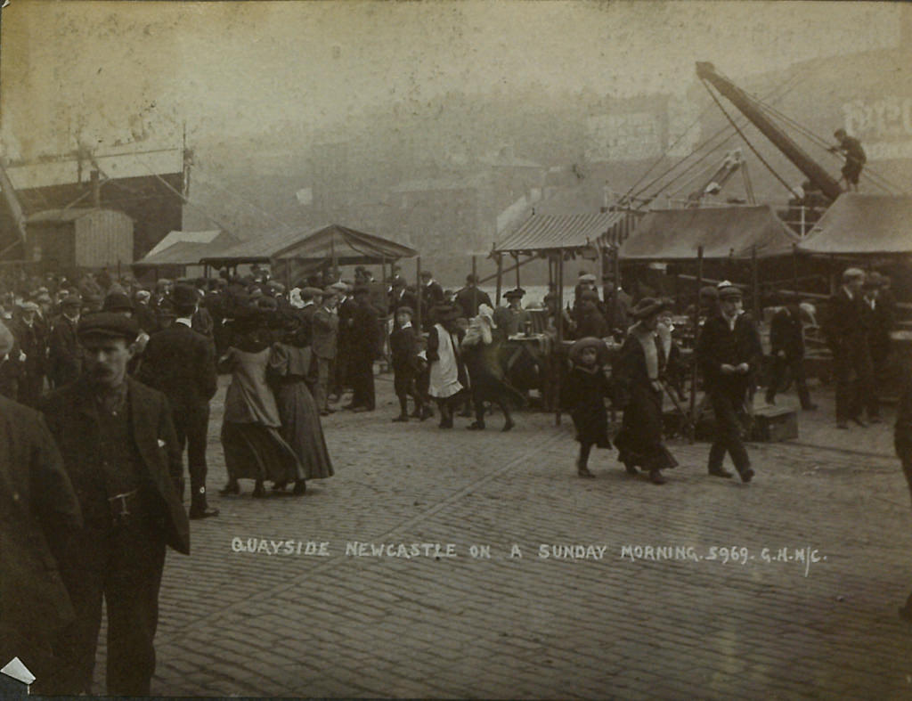
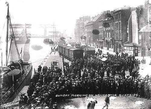
Quayside on a Sunday morning, Newcastle upon Tyne
Pinned by Simon Cotterill
from Newcastle libraries (flickr)
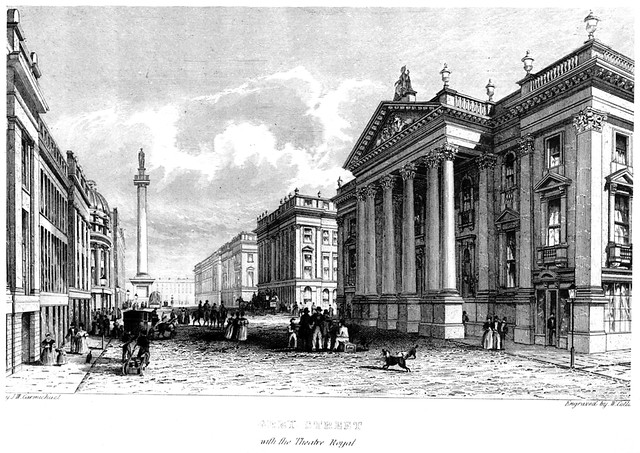
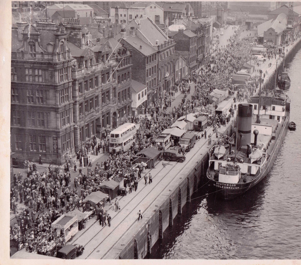
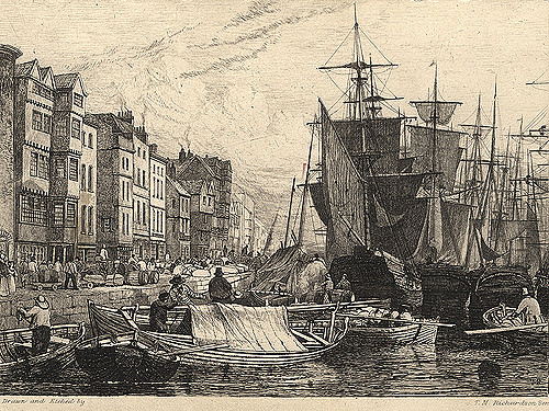
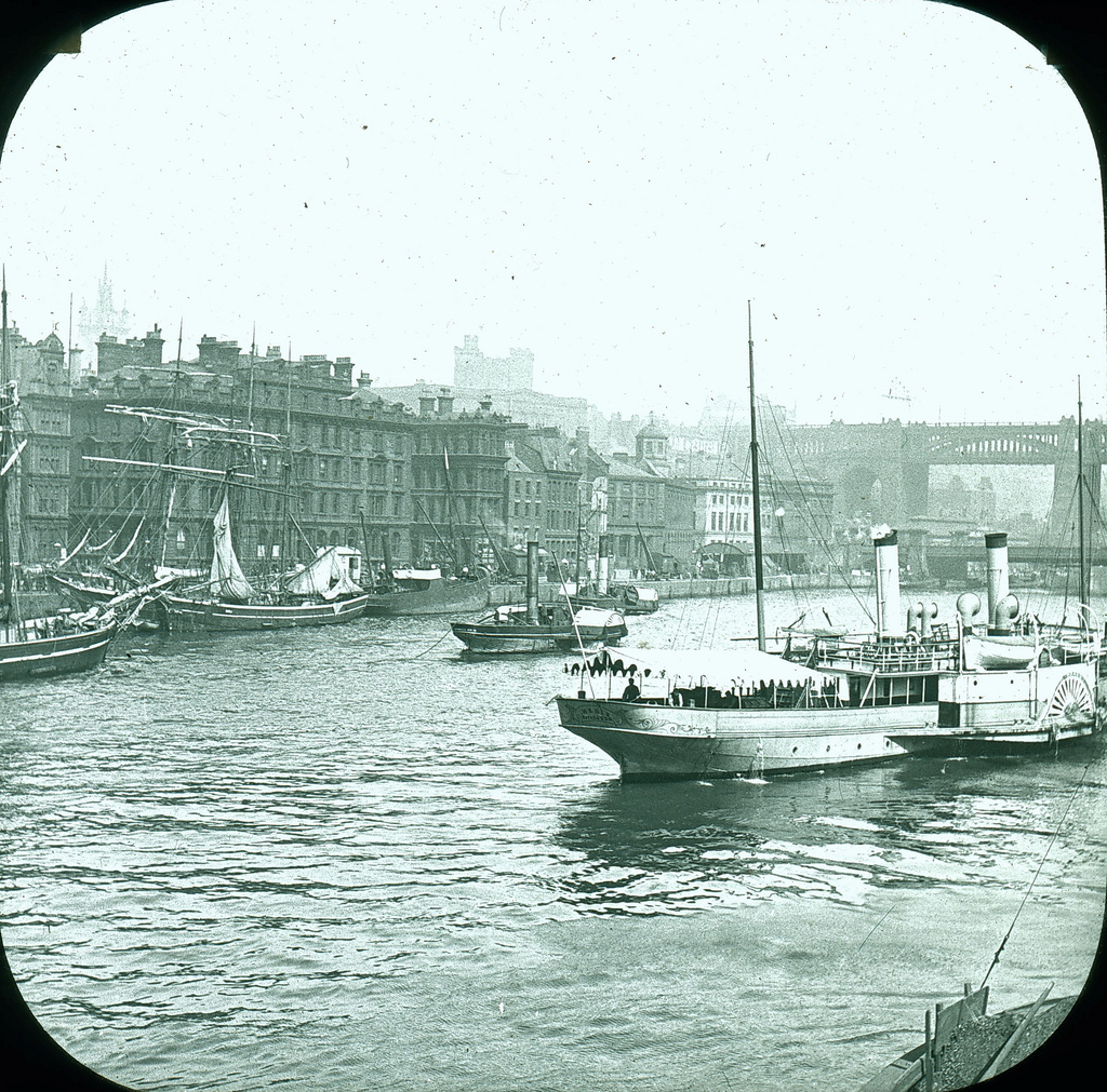
004004:The Quayside Newcastle upon Tyne 1820
Pinned by Simon Cotterill
from Newcastle libraries (flickr)
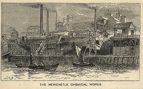
004247:The Newcastle Chemical Works 102 Quayside Newcastle upon Tyne J.R.B. 1881
Pinned by Simon Cotterill

from http://books.google.co.uk/boo…
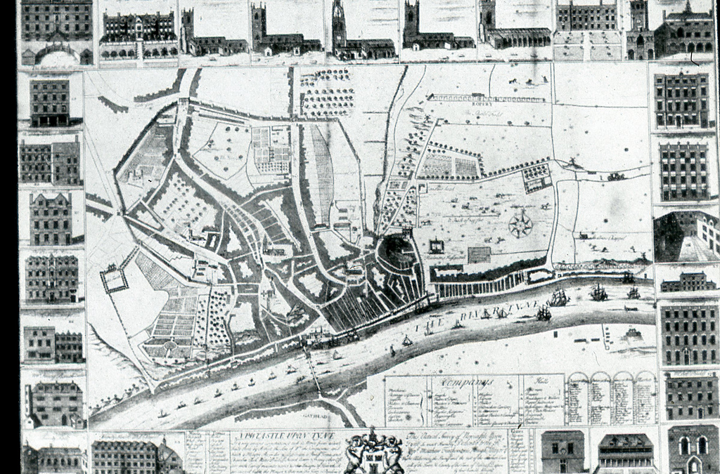
The History of Newcastle Upon Tyne: Or, The Ancient and Present State of that Town. Henry Bourne, 1736
- Free eBook digitised by Google
Added by
Simon Cotterill
from Flickr (flickr)
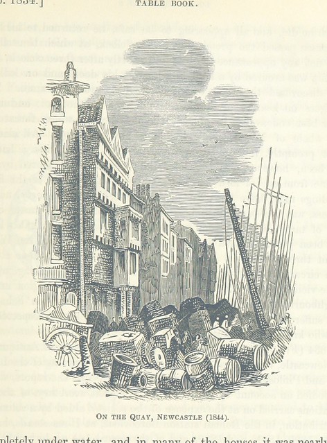
Image taken from page 627 of 'The Local Historian's Table Book of remarkable occurrences, historical facts, traditions, legendary and descriptive ballads, connected with the Counties of Newcastle-upon-Tyne, Northumberland, and Durham. Historical Division.
Pinned by Simon Cotterill
from Newcastle libraries (flickr)
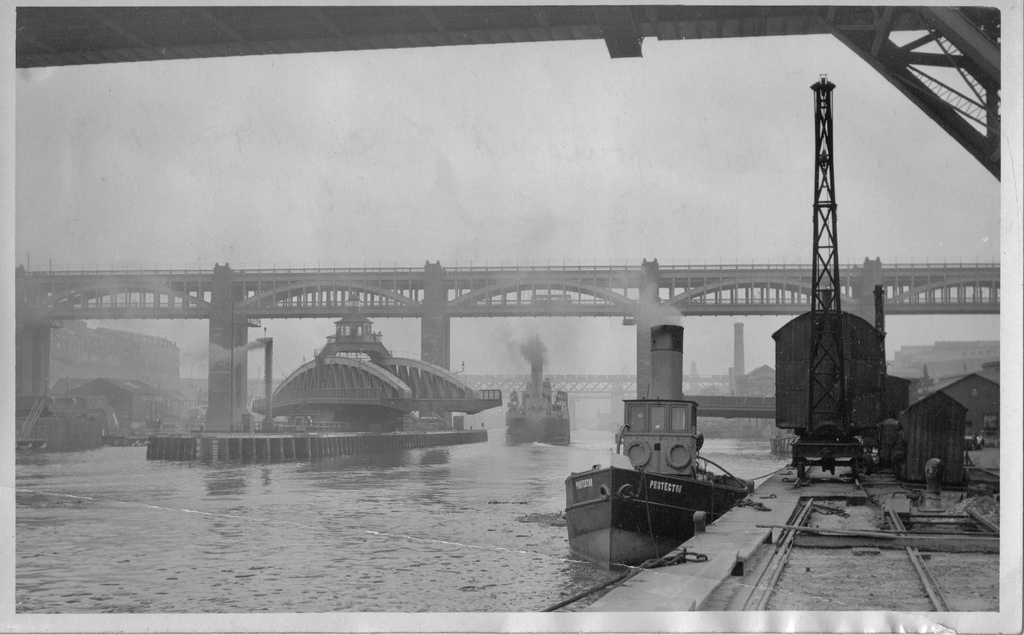
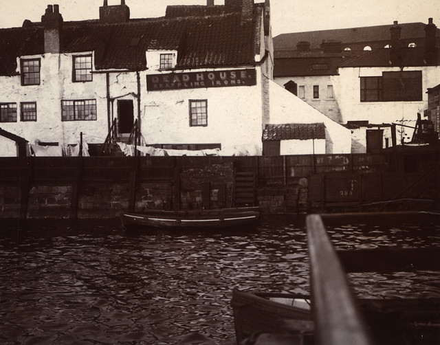
050969:The Dead House Quayside Newcastle upon Tyne; unknown photographer; 1906
Pinned by Simon Cotterill
from Newcastle libraries (flickr)
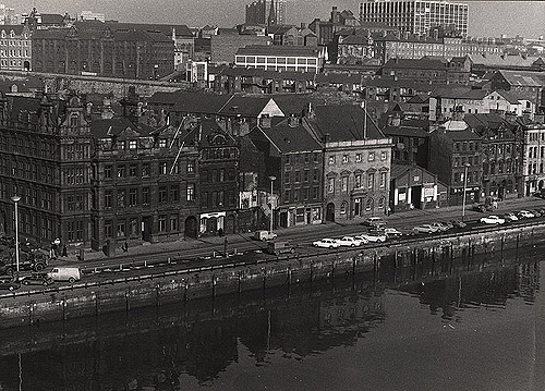
022465:Quayside Central Newcastle Upon Tyne 1973
Pinned by Pat Thomson


from http://www.twsitelines.info/S…
Tyne and Wear HER(1596): Newcastle, Quayside (The Key)
- "Documentary evidence suggests that the waterfront was not fully developed until the late 13th century or 14th century. There is archaeological evidence to suggest that reclamation was necessary before the …
Added by
Simon Cotterill
from Newcastle libraries (flickr)
Quayside on a Sunday morning, Newcastle upon Tyne
Pinned by Simon Cotterill
from Newcastle libraries (flickr)
004004:The Quayside Newcastle upon Tyne 1820
Pinned by Simon Cotterill
from Newcastle libraries (flickr)
004247:The Newcastle Chemical Works 102 Quayside Newcastle upon Tyne J.R.B. 1881
Pinned by Simon Cotterill
from http://books.google.co.uk/boo…
The History of Newcastle Upon Tyne: Or, The Ancient and Present State of that Town. Henry Bourne, 1736
- Free eBook digitised by Google
Added by
Simon Cotterill
from Flickr (flickr)
Image taken from page 627 of 'The Local Historian's Table Book of remarkable occurrences, historical facts, traditions, legendary and descriptive ballads, connected with the Counties of Newcastle-upon-Tyne, Northumberland, and Durham. Historical Division.
Pinned by Simon Cotterill
from Newcastle libraries (flickr)
050969:The Dead House Quayside Newcastle upon Tyne; unknown photographer; 1906
Pinned by Simon Cotterill
from Newcastle libraries (flickr)
022465:Quayside Central Newcastle Upon Tyne 1973
Pinned by Pat Thomson