Topics > Northumberland > Civil Parishes in Northumberland > Hepple Civil Parish
Hepple Civil Parish
Parish boundaries may have changed - for the latest map see the Parish Council or Northumberland County Council.
About the Parish
| Main Settlements: | Hepple (village) and various hamlets/farmsteads including Flotterton, Bickerton, Craig, Caistron, Farnham, Grasslees, High Carrick, Swindon,The Raw, Wainfordrigg, and Wreighill. |
| Population: |
137 (2021 Census) 144 (2011 Census) 139 (2001 Census) |
| Area: | 60.0 km2 |
| Parish Council: | Hepple Parish Council |
| Unitary Authority: | Northumberland County Council |
Historical |
|
|
Ancient Townships: (in the modern CP area) |
Hepple Township (Rothbury Parish)
Hepple Demense Township (Rothbury Parish)
Bickerton Township (Rothbury Parish)
Caistron Township (Rothbury Parish)
Farnham Township (Alwinton Parish)
Woodside Township (Elsdon Parish)
Wreighill Township (Rothbury Township)
Townships became civil parishes in their own right in 1866 (see below). The Civil Parish of Hepple Demense, formed from the township in 1866, was abolished in 1889. |
| Ancient Parishes: |
Today's Civil Parish of Hepple coveres parts of 3 ancient parishes:
Population: 2,236 in 1801, 2,545 in 1851. Gazetteers:
Gazetteers:
Gazetteers:
Ancient parishes refer to the parishes before the split between ecclesiastical (church) and civil parishes in the 19th century. They had a parish church and often were composed of multiple townships and chapelries. In many cases, townships and parishes were originally based on the territory of manors from the feudal system during medieval times. Civil parishes were created following the Poor Law Amendment Act 1866, in which Church of England parishes, extra-parochial areas, townships and chapelries, became "civil parishes" which could set their own poor rate (tax). Then the reforms of Local Government Act 1894 established elected civil parish councils (or parish meetings for parishes with less than 300 residents) and created urban and rural districts. Boundaries of parishes and civil parishes may have changed over time. |
| Ancient District: |
Coquetdale (ward) |
| Poor Law Union: |
Rothbury Poor Law Union, formed in 1836. Rothbury Poor Law Union used the existing workhouse at Town Foot at the east of Rothbury. A new workhouse at Silverton Lane in Morpeth opened in 1901, which could house up to 50 inmates. Under the Poor Law Amendment Act of 1834 parishes were grouped into Unions, each of which had to build a workhouse if they did not already have one. It ended the old system of locally provided poor relief which had come under strain as numbers out of work grew, following increasing mechanisation of agriculture and the economic downturn after the Napoleonic Wars, along with changing social attitudes. The workhouse provided those unable to support themselves financially with accommodation and work. Inmates were generally segregated into men, women, boys and girls. The workhouse system was abolished by the Local Government Act 1929, but many workhouses lived on as ‘Public Assistance Institutions’ until the National Assistance Act 1948. |
|
Major Boundary Change: |
From 1st April 1955 Hepple Civil Parish absorbed: |
|
District Council: |
Rothbury Rural District, formed in 1894. The district was abolished in 1974, following the Local Government Act 1972. Alnwick District (Borough) from 1974 to 2009. Alnwick District covered the area of 4 former districts (Alnwick Urban District, Amble Urban District, Alnwick Rural District and Rothbury Rural District). The borough council was abolished when Northumberland became a unitary authority on the 1st of April 2009. |
|
County / Unitary Authority |
The ancient county of Northumberland was enlarged following the Counties (Detached Parts) Act 1844; Bedlingtonshire, Norhamshire, Islandshire, the Farne Islands and Monks' House all became part of Northumberland. Up to then they had been enclaves of County Durham. Northumberland County Council formed 1889. Major boundary changes came into effect on the 1st April 1974. This followed the Local Government Act 1972, which formed the non-metropolitan county of Northumberland. This excluded the City of Newcastle upon Tyne and North Tyneside, which up to then had been part of Northumberland, but now became part of the newly formed Tyne & Wear. Northumberland County Council became a unitary authority on the 1st of April 2009. |
See also: ![]() Historic Buildings and Monuments in Hepple Civil Parish Note: listed buildings are generally the responsibility of the county council, rather than the parish council.
Historic Buildings and Monuments in Hepple Civil Parish Note: listed buildings are generally the responsibility of the county council, rather than the parish council.
Co-Curate Page
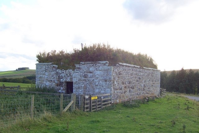
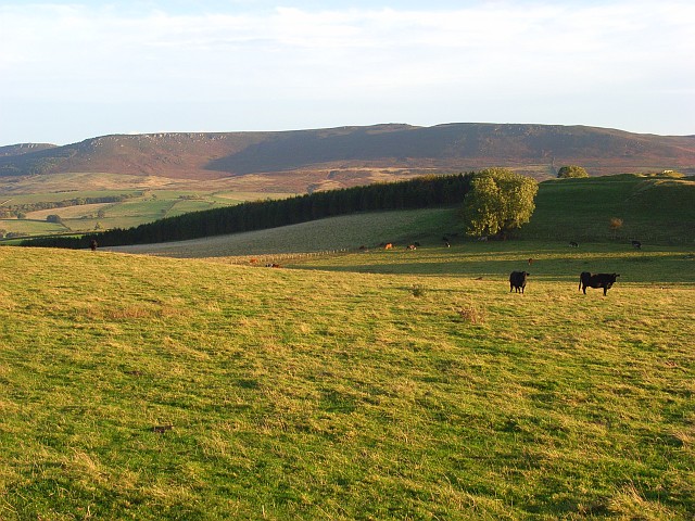
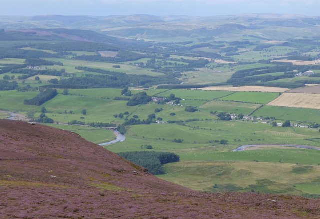
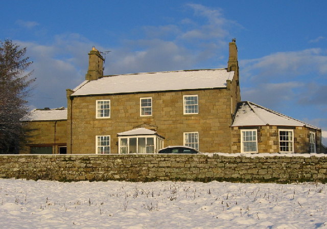
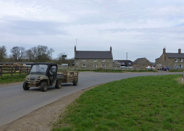
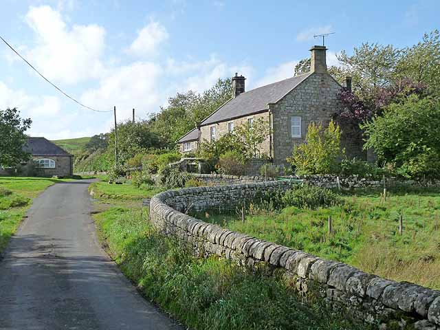
Hepple
- Overview About Hepple Map Street View Hepple is a small village and parish in rural Northumberland, 4 miles (6.4 km) west of Rothbury, which provides most of its local …
Co-Curate Page
Farnham
- Overview Map Street View The hamlets of Low Farnham and High Farnham are situated by the River Coquet, located about 5 miles west of Rothbury in Northumberland. Low Farnham is …
Co-Curate Page
Flotterton
- FLOTTERTON, a township, in the parish and union of Rothbury, W. division of Coquetdale ward, N. division of Northumberland, 3¾ miles (W.) from Rothbury; containing 64 inhabitants. This place, which …
Co-Curate Page
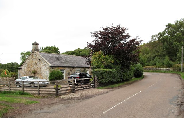
Bickerton
- Overview Map Street View Bickerton is a farm / hamlet in Northumberland, located about 4 miles west of the town of Rothbury and 1 mile east of the village of …

Co-Curate Page
Hepple Demesne, 1848
- HEPPLE-DEMESNE, a township, in the parish and union of Rothbury, W. division of Coquetdale ward, N. division of Northumberland; containing, with Whitefield House, 23 inhabitants. It was anciently held by …
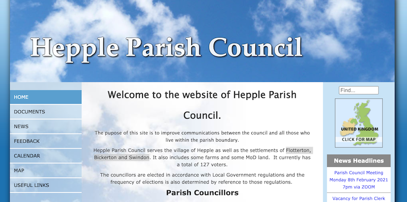
from http://www.parish-council.com…
Hepple Parish Council
- "The pupose of this site is to improve communications between the council and all those who live within the parish boundary.
Hepple Parish Council serves the village of Hepple as …
Added by
Simon Cotterill
Co-Curate Page
Hepple Township, 1848
- HEPPLE, a township, in the parish and union of Rothbury, W. division of Coquetdale ward, N. division of Northumberland, 5½ miles (W. by S.) from the town of Rothbury; containing …


Co-Curate Page
The Raw, Northumberland
- Not to be confused with the hamlets of East Raw and West Raw which are about 9 miles east of The Raw. Presumably there is a link between them.
Co-Curate Page
Caistron
- Overview Map Caistron is a farm / hamlet in Northumberland, located about 4 miles west of Rothbury and 1 mile north-east of the village of Hepple. It is situated on …
Co-Curate Page
WoodsideTownship
- WOODSIDE-WARD, a township, in the parish of Elsdon, union of Rothbury, S. division of Coquetdale ward, N. division of Northumberland, 1½ mile (N.) from Elsdon; containing 124 inhabitants. It lies …

Co-Curate Page
High Carrick (Hepple)
- Overview Map High Carrick is a farm in Northumberland, located about 2¾miles north-east of Otterburn and 4½ miles south-west of the village of Hepple. It is on the edge of …

Co-Curate Page
Wainfordrigg (Hepple)
- Overview Map Street View Wainfordrigg (Wainford Rigg) is a farm in Northumberland, located about 2½ miles north-east of Otterburn and 5 miles south-west of the village of Hepple. The farm …

Co-Curate Page
Grasslees
- Overview Map Street View Grasslees is a farm in Northumberland, located on the B6341 Otterburn to Rothbury road, about 2½miles south-west of the village of Hepple and 3 miles north …

Co-Curate Page
Hepple
- Overview About Hepple Map Street View Hepple is a small village and parish in rural Northumberland, 4 miles (6.4 km) west of Rothbury, which provides most of its local …
Co-Curate Page
Farnham
- Overview Map Street View The hamlets of Low Farnham and High Farnham are situated by the River Coquet, located about 5 miles west of Rothbury in Northumberland. Low Farnham is …
Co-Curate Page
Flotterton
- FLOTTERTON, a township, in the parish and union of Rothbury, W. division of Coquetdale ward, N. division of Northumberland, 3¾ miles (W.) from Rothbury; containing 64 inhabitants. This place, which …
Co-Curate Page
Bickerton
- Overview Map Street View Bickerton is a farm / hamlet in Northumberland, located about 4 miles west of the town of Rothbury and 1 mile east of the village of …
Co-Curate Page
Hepple Demesne, 1848
- HEPPLE-DEMESNE, a township, in the parish and union of Rothbury, W. division of Coquetdale ward, N. division of Northumberland; containing, with Whitefield House, 23 inhabitants. It was anciently held by …
from http://www.parish-council.com…
Hepple Parish Council
- "The pupose of this site is to improve communications between the council and all those who live within the parish boundary.
Hepple Parish Council serves the village of Hepple as …
Added by
Simon Cotterill
Co-Curate Page
Hepple Township, 1848
- HEPPLE, a township, in the parish and union of Rothbury, W. division of Coquetdale ward, N. division of Northumberland, 5½ miles (W. by S.) from the town of Rothbury; containing …
Co-Curate Page
The Raw, Northumberland
- Not to be confused with the hamlets of East Raw and West Raw which are about 9 miles east of The Raw. Presumably there is a link between them.
Co-Curate Page
Caistron
- Overview Map Caistron is a farm / hamlet in Northumberland, located about 4 miles west of Rothbury and 1 mile north-east of the village of Hepple. It is situated on …
Co-Curate Page
WoodsideTownship
- WOODSIDE-WARD, a township, in the parish of Elsdon, union of Rothbury, S. division of Coquetdale ward, N. division of Northumberland, 1½ mile (N.) from Elsdon; containing 124 inhabitants. It lies …
Co-Curate Page
High Carrick (Hepple)
- Overview Map High Carrick is a farm in Northumberland, located about 2¾miles north-east of Otterburn and 4½ miles south-west of the village of Hepple. It is on the edge of …
Co-Curate Page
Wainfordrigg (Hepple)
- Overview Map Street View Wainfordrigg (Wainford Rigg) is a farm in Northumberland, located about 2½ miles north-east of Otterburn and 5 miles south-west of the village of Hepple. The farm …