Topics > Northumberland > Hepple > Hepple Township, 1848
Hepple Township, 1848
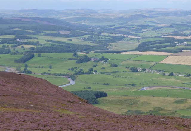
HEPPLE, a township, in the parish and union of Rothbury, W. division of Coquetdale ward, N. division of Northumberland, 5½ miles (W. by S.) from the town of Rothbury; containing 61 inhabitants. This place, which lies on the north side of the river Coquet, near the boundary of the parish, was formerly of more consideration than it is at present; in the middle of the last century, the village consisted of fifteen detached farmsteads, besides several strong, ancient houses, and a long row of cottages then crumbling into decay. About 70 years since, the exterior walls of a very strong tower, also, were still standing, tolerably entire, which are said to have been part of the old manor-house, ruined by the Scots. Upon a fine summit called the Kirk Hill, about half a mile west of Hepple, stood a chapel, the remains of which were removed about the year 1760; and at a short distance to the north-west, is a British intrenched stronghold, which was afterwards occupied by the Romans, and called Hetchester. The tithes of the township have been commuted for a rentcharge of £31.
Extract from: A Topographical Dictionary of England comprising the several counties, cities, boroughs, corporate and market towns, parishes, and townships..... 7th Edition, by Samuel Lewis, London, 1848.