Topics > Northumberland > Civil Parishes in Northumberland > Alwinton Civil Parish > Alwinton Parish, 1848
Alwinton Parish, 1848
ALLENTON, or Allwinton (St. Michael), a parish, in the union of Rothbury, W. division of Coquetdale ward, N. division of Northumberland; comprising the townships of Allenton, Biddleston, Borrowdon, Clennell, Fairhaugh, Farnham, Linbriggs, Netherton, North and South Sides, Peals, and Sharperton; and containing 1,255 inhabitants, of whom 78 are in the township of Allenton, 19 miles (W. by S.) from Alnwick. The parish is of great extent, stretching from the parish of Rothbury to Scotland, and 20 miles from east to west; and consists almost entirely of porphyritic mountains, presenting very abrupt elevations, covered with short thick grass, valuable for rearing sheep. The river Coquet rises within its limits, and here pursues a winding course through a very narrow valley, the mountains rising in many parts almost perpendicularly from its bed; it is joined by the Alwine, which gives name to the parish. The living is a vicarage not in charge, with the curacy of Hallystone annexed; net income, £130, with a glebe-house lately built; patron, the Duke of Northumberland; impropriators, Thomas Clennell, Esq., and others. The church is an ancient edifice, greatly disfigured by repairs. Here was formerly an hospital belonging to the convent at Hallystone; and on the south side of the Coquet are vestiges of an old structure, called Barrow Peel, to the west of which is Ridlee-Cairn Hill, supposed to have been a burial-place of the ancient Britons. Throughout the district are numerous other remains of the Britons, consisting of encampments, cromlechs, &c.; and at Chew green, near the Scottish border, are the remains of a very extensive Roman station, the next to the north from Bremenium, High Rochester.
Extract from: A Topographical Dictionary of England comprising the several counties, cities, boroughs, corporate and market towns, parishes, and townships..... 7th Edition, by Samuel Lewis, London, 1848.

Co-Curate Page
Clennell Township, 1848
- CLENNELL, a township, in the parish of Allenton, union of Rothbury, W. division of Coquetdale ward, N. division of Northumberland, 10¼ miles (W.N.W.) from Rothbury; containing 18 inhabitants. This place …
Co-Curate Page
Sharperton Township, 1848
- SHARPERTON, a township, in the parish of Allenton, union of Rothbury, W. division of Coquetdale ward, N. division of Northumberland, 6½ miles (W. by N.) from Rothbury; containing 89 inhabitants. …
Co-Curate Page
Borrowdon Township, 1848
- BORROWDON, a township, in the parish of Allenton, union of Rothbury, W. division of Coquetdale ward, N. division of Northumberland; containing 165 inhabitants. It is situated about a mile south-west …
Co-Curate Page
Fairhaugh
- FAIRHAUGH, a township, in the parish of Allenton, union of Rothbury, W. division of Coquetdale ward, N. division of Northumberland, 13 miles (N.N.W.) from Rothbury; containing 5 inhabitants. It lies …
Co-Curate Page
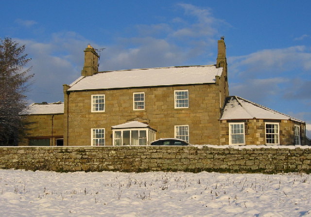
Biddleston Township, 1848
- BIDDLESTON, a township, in the parish of Allenton, union of Rothbury, W. division of Coquetdale ward, N. division of Northumberland, 7¾ miles (N.W. by W.) from Rothbury; containing 140 inhabitants. …
Co-Curate Page
Farnham
- Overview Map Street View The hamlets of Low Farnham and High Farnham are situated by the River Coquet, located about 5 miles west of Rothbury in Northumberland. Low Farnham is …
Co-Curate Page
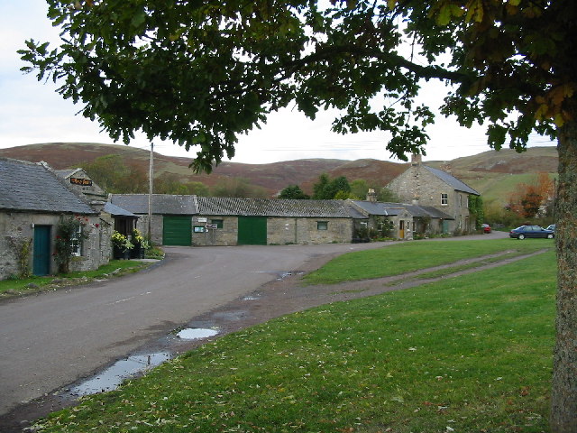
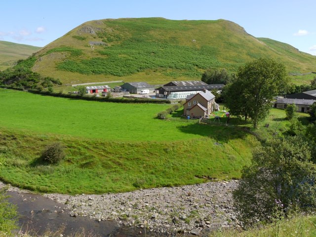
Alwinton
- Overview About Alwinton Map Street View Alwinton is a village in Northumberland located in Coquet Valley, close to where the River Alwin joins the River Coquet. About half a mile …
Co-Curate Page
Netherton
- Overview About Netherton Map Street View Netherton is a village in Northumberland, located about 6 miles north-west of Rothbury. The village is part of the Civil Parish of Netherton and …
Co-Curate Page
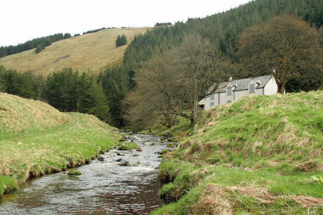
Linbriggs
- Linbriggs is a hamlet by the River Coquest in Northumberland, located about 11 miles north-west of Rothbury and just under 2 miles west of Alwinton. There are remains of medieval …
Co-Curate Page
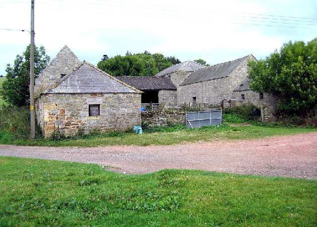
The Peels
- Overview Map The Peels is a farm, located about ½ mile east of Harbottle in Northumberland. The current farmhouse and Brye here dates from the 18th century. Historically, The Peel …

Co-Curate Page
Clennell Township, 1848
- CLENNELL, a township, in the parish of Allenton, union of Rothbury, W. division of Coquetdale ward, N. division of Northumberland, 10¼ miles (W.N.W.) from Rothbury; containing 18 inhabitants. This place …
Co-Curate Page
Sharperton Township, 1848
- SHARPERTON, a township, in the parish of Allenton, union of Rothbury, W. division of Coquetdale ward, N. division of Northumberland, 6½ miles (W. by N.) from Rothbury; containing 89 inhabitants. …
Co-Curate Page
Borrowdon Township, 1848
- BORROWDON, a township, in the parish of Allenton, union of Rothbury, W. division of Coquetdale ward, N. division of Northumberland; containing 165 inhabitants. It is situated about a mile south-west …
Co-Curate Page
Fairhaugh
- FAIRHAUGH, a township, in the parish of Allenton, union of Rothbury, W. division of Coquetdale ward, N. division of Northumberland, 13 miles (N.N.W.) from Rothbury; containing 5 inhabitants. It lies …
Co-Curate Page
Biddleston Township, 1848
- BIDDLESTON, a township, in the parish of Allenton, union of Rothbury, W. division of Coquetdale ward, N. division of Northumberland, 7¾ miles (N.W. by W.) from Rothbury; containing 140 inhabitants. …
Co-Curate Page
Farnham
- Overview Map Street View The hamlets of Low Farnham and High Farnham are situated by the River Coquet, located about 5 miles west of Rothbury in Northumberland. Low Farnham is …
Co-Curate Page
Alwinton
- Overview About Alwinton Map Street View Alwinton is a village in Northumberland located in Coquet Valley, close to where the River Alwin joins the River Coquet. About half a mile …
Co-Curate Page
Netherton
- Overview About Netherton Map Street View Netherton is a village in Northumberland, located about 6 miles north-west of Rothbury. The village is part of the Civil Parish of Netherton and …
Co-Curate Page
Linbriggs
- Linbriggs is a hamlet by the River Coquest in Northumberland, located about 11 miles north-west of Rothbury and just under 2 miles west of Alwinton. There are remains of medieval …


