Topics > Northumberland > Civil Parishes in Northumberland > Wallington Demesne Civil Parish
Wallington Demesne Civil Parish
Area: 28.4 km²
Population:
326 (2021 Census)
369 (2011 Census)
361 (2001 Census)
Ancient townships in the present CP area:

Co-Curate Page
Wallington Demesne - Township, 1848
- WALLINGTON-DEMESNE, a township, in the parish of Hartburn, union of Morpeth, N.E. division of Tindale ward, S. division of Northumberland, 12½ miles (W. by S.) from Morpeth; containing 167 inhabitants. …
Co-Curate Page
Cambo
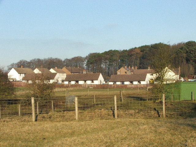
- Overview About Cambo Map Street View Cambo is a village in Northumberland located about 11 miles to the west of Morpeth. It is part of Wallington Estate, maintained by the …
Co-Curate Page
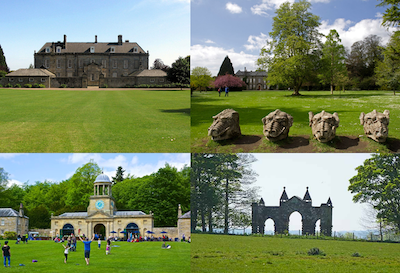
Wallington
- Overview About Wallington Map Street View Wallington is a country house and gardens located about 12 miles (19 km) west of Morpeth, Northumberland, England, near the village of Cambo. It …
Co-Curate Page
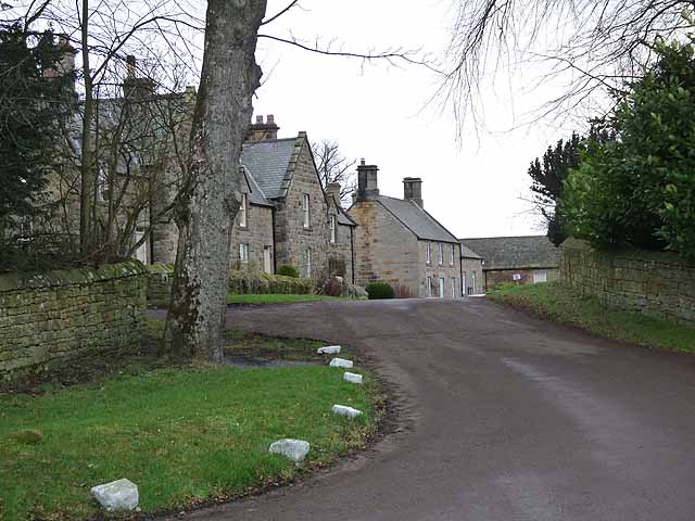
Hartburn Grange
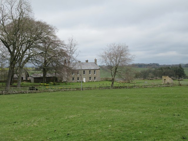
- Overview Map Street View Hartburn Grange in Northumberland is a farm located about a mile and a half north-west of the village of Hartburn. It is located by Angerton Lake, …
Co-Curate Page
Highlaws, Northumberland
- Overview Map Highlaws is a hamlet/farm in Northumberland, located near the River Wansbeck and about 8 miles west of Morpeth. Highlaws Farmhouse is dated 1728 with the initials W.D.A. (William and …
Co-Curate Page
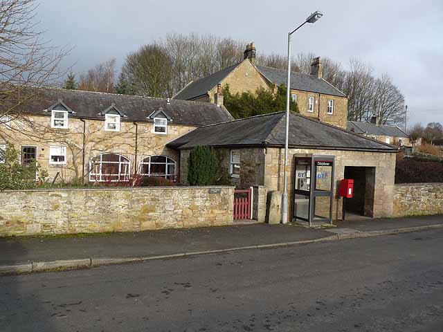
Scots Gap, Northumberland
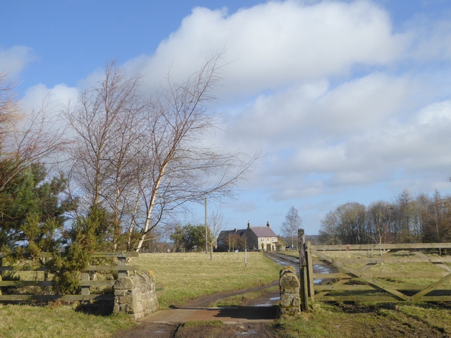
- Overview Map Street View Scots Gap is a village in Northumberland, located about 10 miles west of Morpeth. It is part of the Civil Parish of Wallington Demesne.

Co-Curate Page
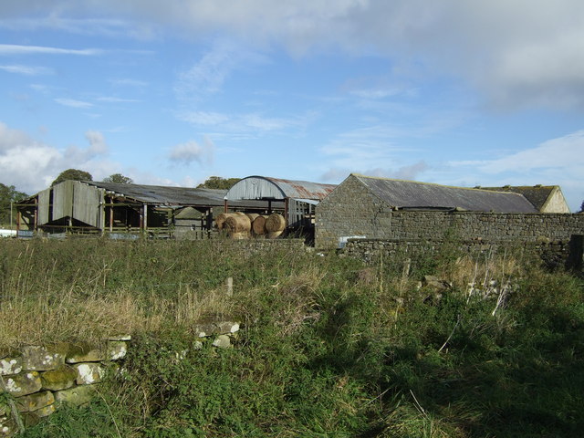
Todridge (Wallinton Demsense)
- Overview Map Street View Todridge is a farm in Northumberland, situated by the north banks of Middleton Burn and located a short distance to the north-west of Middleton and about …
Co-Curate Page
Middleton Village (Morpeth)
- Overview Map Street View Middleton is a village located about 9 miles west of Morpeth in Northumberland. Not to be confused with Middleton near Morpeth, or Middleton Hall near Wooler.

Co-Curate Page
Wallington Demesne - Township, 1848
- WALLINGTON-DEMESNE, a township, in the parish of Hartburn, union of Morpeth, N.E. division of Tindale ward, S. division of Northumberland, 12½ miles (W. by S.) from Morpeth; containing 167 inhabitants. …
Co-Curate Page
Cambo
- Overview About Cambo Map Street View Cambo is a village in Northumberland located about 11 miles to the west of Morpeth. It is part of Wallington Estate, maintained by the …
Co-Curate Page
Wallington
- Overview About Wallington Map Street View Wallington is a country house and gardens located about 12 miles (19 km) west of Morpeth, Northumberland, England, near the village of Cambo. It …
Co-Curate Page
Hartburn Grange
- Overview Map Street View Hartburn Grange in Northumberland is a farm located about a mile and a half north-west of the village of Hartburn. It is located by Angerton Lake, …
Co-Curate Page
Highlaws, Northumberland
- Overview Map Highlaws is a hamlet/farm in Northumberland, located near the River Wansbeck and about 8 miles west of Morpeth. Highlaws Farmhouse is dated 1728 with the initials W.D.A. (William and …
Co-Curate Page
Scots Gap, Northumberland
- Overview Map Street View Scots Gap is a village in Northumberland, located about 10 miles west of Morpeth. It is part of the Civil Parish of Wallington Demesne.
Co-Curate Page
Todridge (Wallinton Demsense)
- Overview Map Street View Todridge is a farm in Northumberland, situated by the north banks of Middleton Burn and located a short distance to the north-west of Middleton and about …


