Topics > Northumberland > Civil Parishes in Northumberland > Stannington Civil Parish > Stannington Parish, 1848
Stannington Parish, 1848
STANNINGTON (St. Mary), a parish, in the union and W. division of Castle ward, S. division of Northumberland, 5 miles (S. by E.) from Morpeth; containing 1,121 inhabitants, and comprising the seven townships of Blagdon, Bellasis, Clifton with Coldwell, Duddo, Plessey with Shotton, Saltwick, and Stannington. The parish formed part of the extensive barony of Merlay, and among the proprietors have been the noble families of Greystock and Dacre. It is situated on the river Blyth, over which is a modern stone bridge: the soil is stiff, but generally fertile, and well fenced and tilled; the substratum abounds with coal, and with freestone. The vale of Stannington is beautifully picturesque; the village occupies a bold and tolerably dry situation, on the road from Newcastle to Morpeth. The living is a vicarage, valued in the king's books at £5. 13. 4.; patron, the Bishop of Durham; impropriator, Sir M. W. Ridley, Bart. The great tithes have been commuted for £852; and the vicarial for £342, with a glebe of 21 acres. The church had formerly a chantry; one of the windows exhibits some fine specimens of stained glass, inserted in 1772, by the late Sir M. W. Ridley. There is a place of worship for Wesleyans; and a school has an endowment of £11 per annum.
Extract from: A Topographical Dictionary of England comprising the several counties, cities, boroughs, corporate and market towns, parishes, and townships..... 7th Edition, by Samuel Lewis, London, 1848.
Co-Curate Page
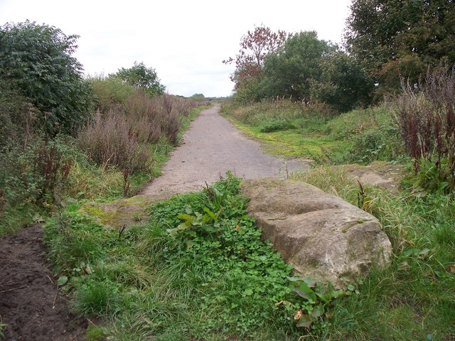
Clifton
- Overview About Clifton Map Street View Clifton is a hamlet in Northumberland, located about 1 mile south of Morpeth and 2 miles north of Stannington. It is part of the …
Co-Curate Page
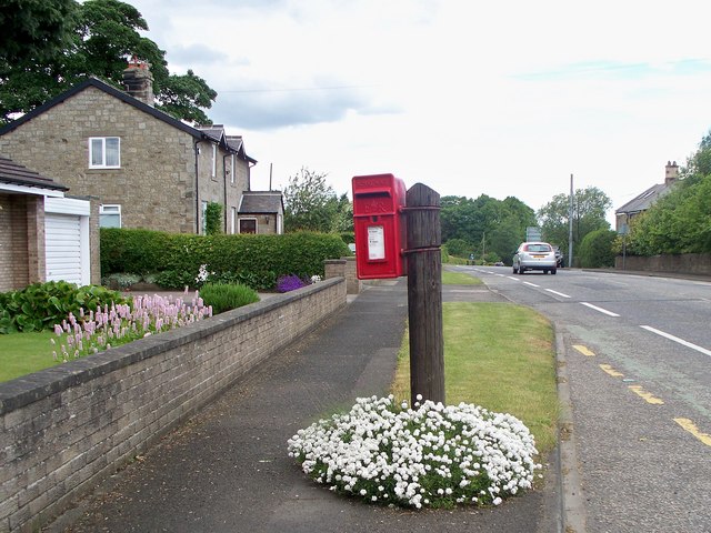
Saltwick
- Overview Map Street View SALTWICK, a township, in the N. division of the parish of Stannington, union, and W. division, of Castle ward, S. division of Northumberland, 5 miles (S.S.W.) …

Co-Curate Page
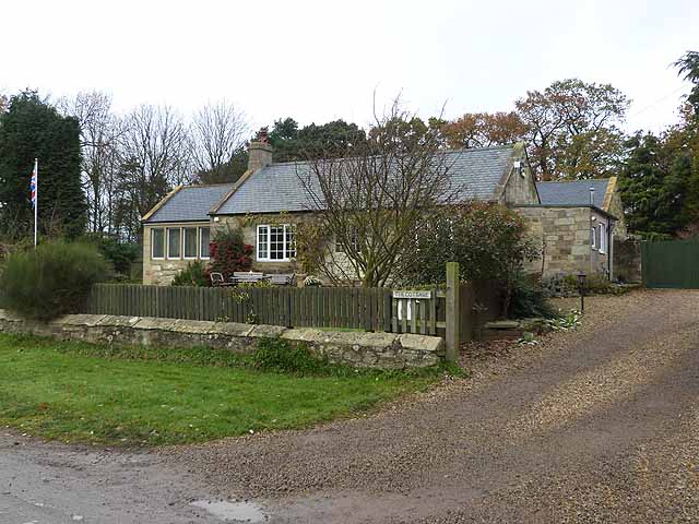
Blagdon Township, 1848
- BLAGDON, a township, in the parish of Stannington, union and W. division of Castle ward, S. division of Northumberland, 6¾ miles (S.) from Morpeth. This place, which lies on the …
Co-Curate Page
Plessey with Shotton Township, 1848
- SHOTTON, with Plessey, a township, in the parish of Stannington, union, and W. division, of Castle ward, S. division of Northumberland, 6¼ miles (S. by E.) from Morpeth; containing 387 …
Co-Curate Page
Bellasis Township, 1848
- BELLASIS, a township, in the parish of Stannington, union and W. division of Castle ward, S. division of Northumberland, 6 miles (S. by E.) from Morpeth. The name, which has …
Co-Curate Page
Stannington
- Overview About Stannington Map Street View Timeline Stannington is a village in Northumberland, located about 8 miles north of Newcastle and 4½ miles south of Morpeth. Catraw Burn flows past …
Co-Curate Page
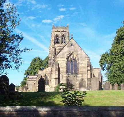
Church of St. Mary the Virgin, Stannington
- Overview Map Street View Inside The Church of St. Mary the Virgin is located on Church Road in Stannington, Northumberland. There has been a church on this site since at …

Co-Curate Page
Clifton
- Overview About Clifton Map Street View Clifton is a hamlet in Northumberland, located about 1 mile south of Morpeth and 2 miles north of Stannington. It is part of the …
Co-Curate Page
Saltwick
- Overview Map Street View SALTWICK, a township, in the N. division of the parish of Stannington, union, and W. division, of Castle ward, S. division of Northumberland, 5 miles (S.S.W.) …
Co-Curate Page
Blagdon Township, 1848
- BLAGDON, a township, in the parish of Stannington, union and W. division of Castle ward, S. division of Northumberland, 6¾ miles (S.) from Morpeth. This place, which lies on the …
Co-Curate Page
Plessey with Shotton Township, 1848
- SHOTTON, with Plessey, a township, in the parish of Stannington, union, and W. division, of Castle ward, S. division of Northumberland, 6¼ miles (S. by E.) from Morpeth; containing 387 …
Co-Curate Page
Bellasis Township, 1848
- BELLASIS, a township, in the parish of Stannington, union and W. division of Castle ward, S. division of Northumberland, 6 miles (S. by E.) from Morpeth. The name, which has …
Co-Curate Page
Stannington
- Overview About Stannington Map Street View Timeline Stannington is a village in Northumberland, located about 8 miles north of Newcastle and 4½ miles south of Morpeth. Catraw Burn flows past …