Topics > Geography > Rivers > River Wansbeck
River Wansbeck
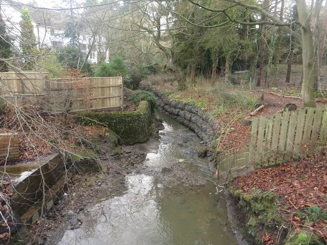
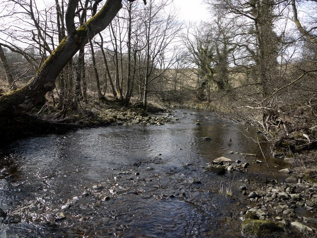
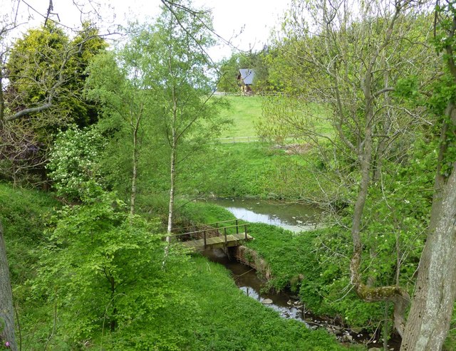
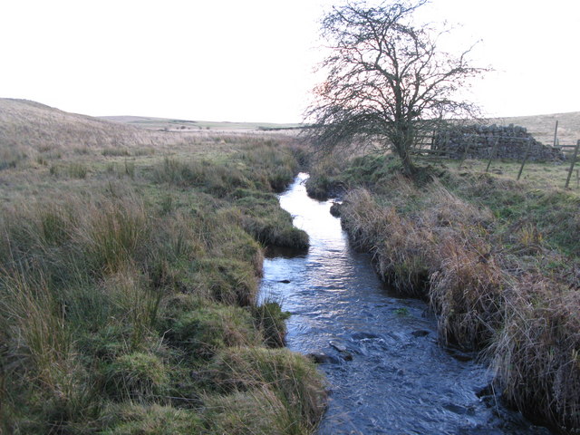
The Wansbeck is a river in Northumberland, which rises above Sweethope Lough on the edge of Forelaws Forest and discharges into the North Sea at Sandy Bay near Newbiggin-by-the-Sea. Tributaries of the Wansbeck include Ray Burn, Hart Burn, the River Font, Molesden Burn, Bothal Burn.
Settlements by the river include:
The River Wansbeck runs through the county of Northumberland, England. It rises above Sweethope Lough on the edge of Forelaws Forest in the area known locally as The Wanneys (Great Wanney Crag, Little Wanney Crag; thus the "Wanneys Beck"); runs through the town of Ashington before discharging into the North Sea at Sandy Bay near Newbiggin-by-the-Sea.
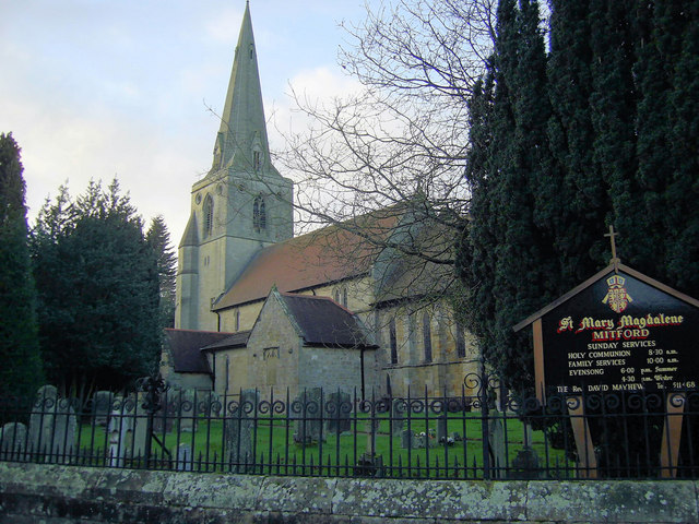
The River flows through the village of Kirkwhelpington, the town of Morpeth, and the village of Mitford, where it is joined by a small tributary, the River Font.
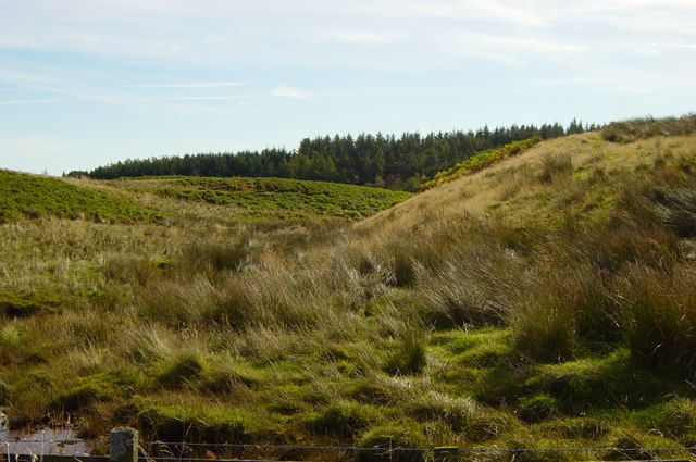
The River Wansbeck is nicknamed the River Wanney. The term 'The Wilds of Wanney' is used by people of Tyneside to refer to the rural areas of Northumberland where the Wansbeck rises.
The River lent its name to the former Wansbeck district which was based in Ashington, and included Newbiggin-by-the-Sea, Bedlington and Stakeford.
Barrage and Navigation
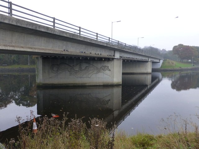
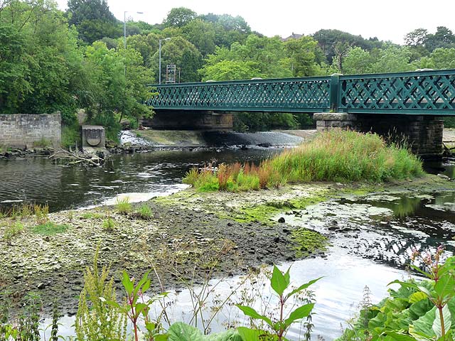
Between 1974-75, a £250,000 barrage with a navigation lock was built near the rivermouth and adjacent to the A189 road bridge. In so doing the lower three miles of river became a country park and are recognised as England's most northerly inland (locked) navigation. Very little use of the lock has actually been recorded although rowing and sailing craft are launched and used in the country park.
Stakeford bridge is about midway in the navigable part. Sheepwash Bridge is near the upper limit of the park and the navigable water.
From 1985 the new navigation was officially recorded in The Inland Waterways of Great Britain noting that the navigation authority was then Wansbeck District Council, which means that since 2009 Northumberland County hold that role.
Visit the page: River Wansbeck for references and further details. You can contribute to this article on Wikipedia.
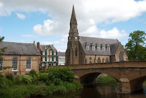
from Flickr (flickr)
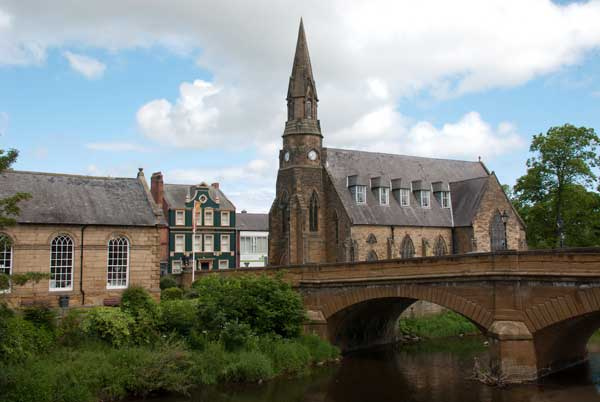
River Wansbeck, the Telford Bridge, and St. George's United Reformed Church, Morpeth
Pinned by Simon Cotterill

Co-Curate Page
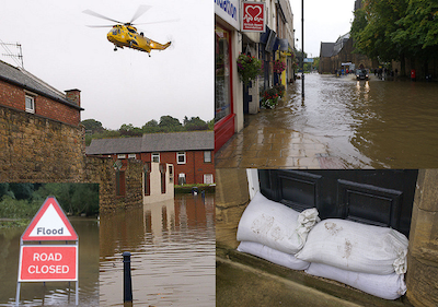
Morpeth Floods 2008
- Following a period of sustained heavy rain the River Wansbeck burst its banks and overwhelmed the flood defences in Morpeth on the 6th of September 2008. Over 400 people had …
Co-Curate Page
Morpeth
- Overview About Morpeth Map Street View The county town of Northumberland. Help build the Morpeth Timeline Morpeth is a town in the north-east of England, lying on the River Wansbeck. …
Co-Curate Page
Ashington
- Overview History Map Street View Early history The name Ashington possibly originates from Essendene which has been referenced since 1170, but may instead have originated from Æsc, a Saxon …
Co-Curate Page
Cambois
- Overview About Cambois Map Street View Cambios is a former mining village near Blyth in Northumberland. It grew with the establishement of Cambios Colliery in the mid 19th century. However, …
Co-Curate Page
Kirkwhelpington
- Overview About Kirkwhelpington Map Street View Kirkwhelpington is a village and civil parish in the English county of Northumberland about 13 miles northeast of Hexham. It is on the …

Co-Curate Page
Bothal
- Overview About Bothal Map Street View Bothal is a village in Northumberland, located near the River Wansbeck between Morpeth and Ashington. Historic buildings include Bothal Castle and the 12th century …

from Flickr (flickr)
Bridge and River near Bothal Castle, near Morpeth, Northumberland
Pinned by Simon Cotterill


Co-Curate Page
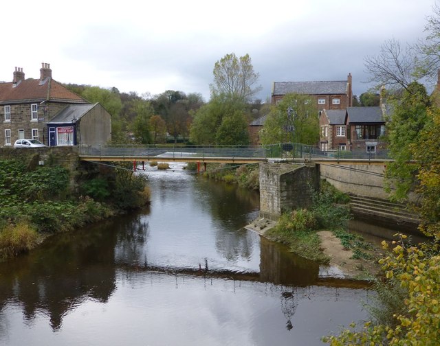
Telford Bridge
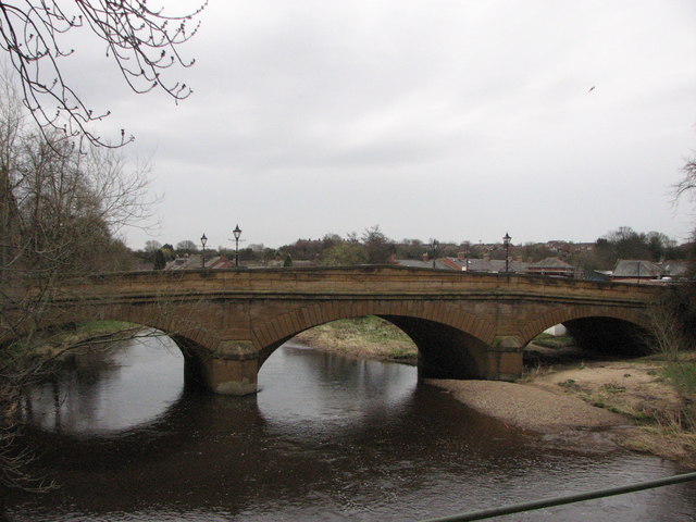
- Overview Map Street View Telford Bridge (aka 'New Bridge') in Morpeth was built 1829 - 1831 by Thomas Telford.[1] The stone bridge carries the A192 road over the River Wansbeck. …
Co-Curate Page
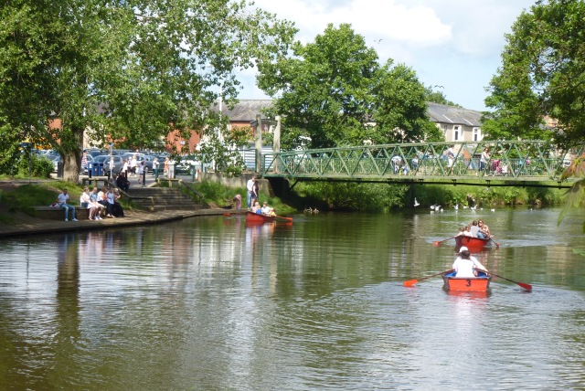
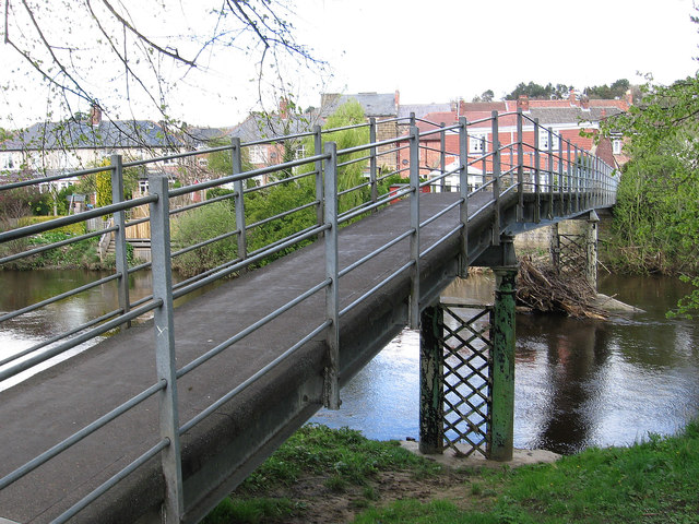
Elliott Bridge
- Elliott Bridge is a pedestrian footbridge over the River Wansbeck joining Morpeth town centre to Carlisle Park. The bridge was built in 1982, replacing the original Elliott Bridge of 1924, …
Co-Curate Page
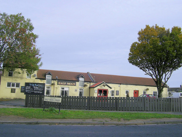
Guide Post
- Overview About Guide Post Map Street View Guide Post is a village in south east Northumberland, England, about 17 miles (27 km) north of Newcastle upon Tyne. It lies …
Co-Curate Page
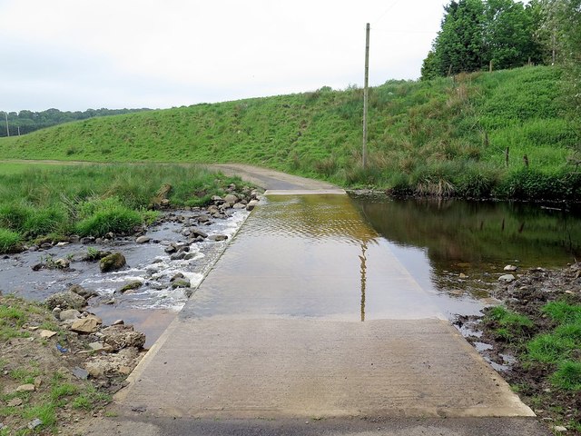
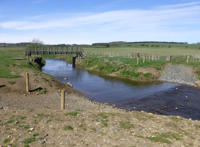
Road Bridge, Sheepwash
- Overview Map Street View The bridge at Sheepwash carries the A1068 road over the River Wansbeck. It was built in 1920 to replace a stone bridge damaged by floods in …
from https://flood-warning-informa…
River level - River Wansbeck at Middleton Bridge
Added by
Simon Cotterill
Co-Curate Page
Foss Bridge
- Foss Bridge is a mid 18th century stone bridge over the River Wansbeck at Mitford, near Mitford Castle (sometimes caled "Wansbeck Bridge"). The bridge is Grade II listed on the National …
Co-Curate Page
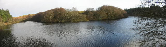
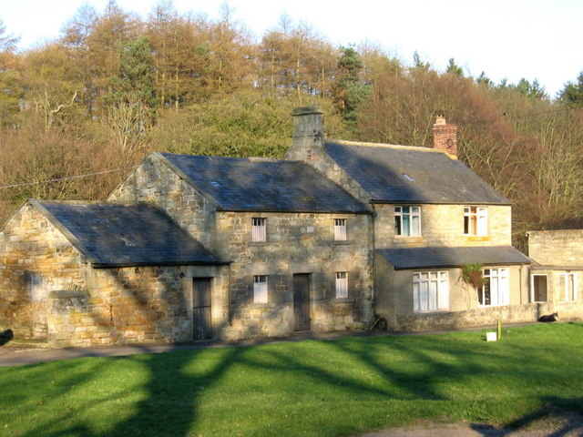
Sweethope
- Overview About Sweethope Loughs Map Sweethope was recorded as a manor and village in the 13th century, once with defences, and 6 houses noted in the 17th century.[1] Sweethope was …
from Geograph (geograph)
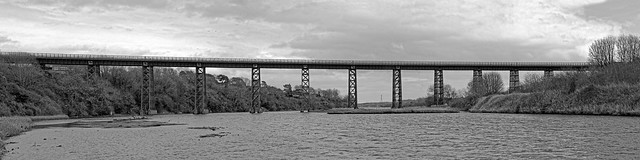
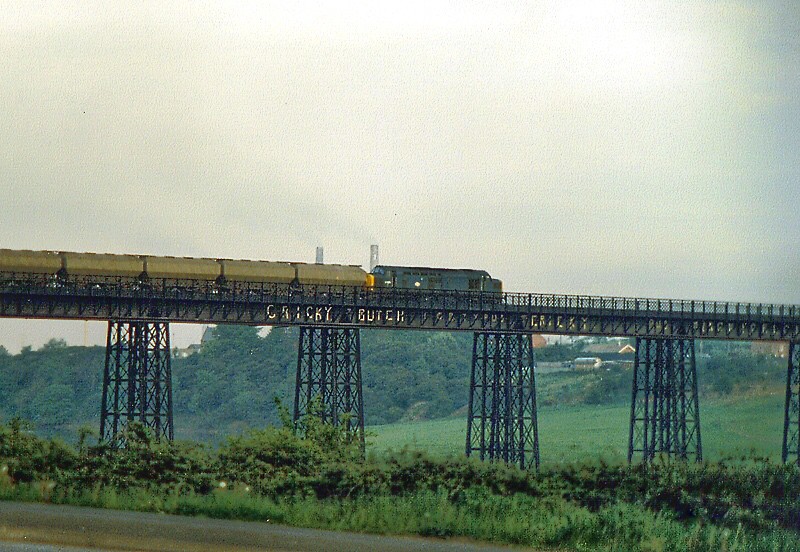
Disused railway bridge over the River Wansbeck, Low Angerton, Northumberland
Pinned by Simon Cotterill
Co-Curate Page
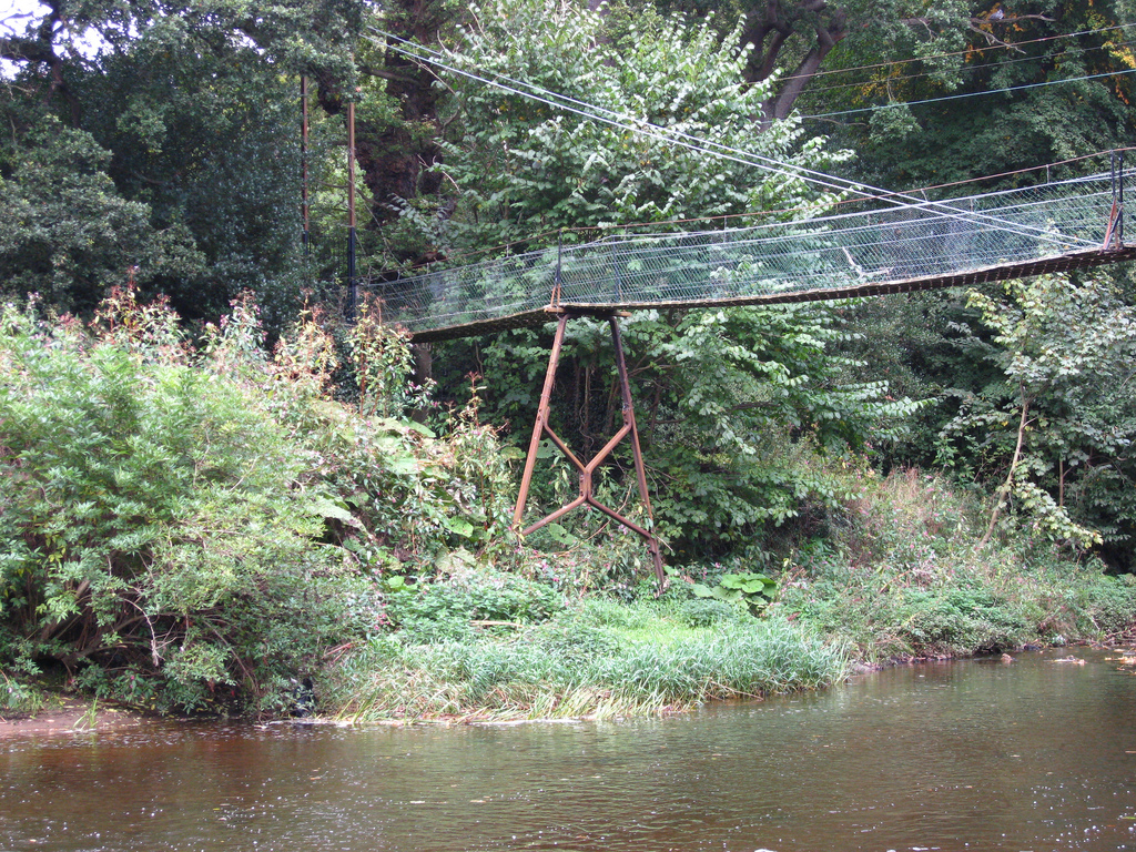
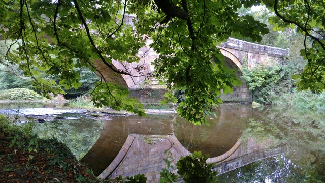
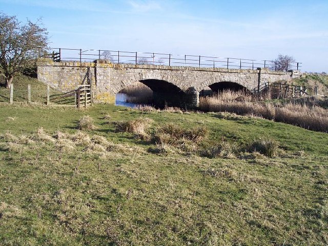
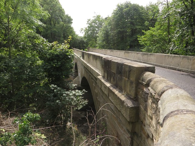
Bridge over the Wansbeck, south of Wallington
- Overview History Map Street View This bridge is located about ¼ mile south-east of Wallington Hall, carries the B6342 road over the River Wansbeck. The bridge was built in 1755 …
Co-Curate Page
Chantry Footbridge
- Overview Map Street View The Chantry Footbridge over the River Wansbeck is located by Chantry Place in Morpeth. It was built in 1869 by Swinney Bros. of Morpeth, funded by …
Co-Curate Page
Lowford Bridge, Morpeth
- Overview Map Street View Lowford bridge carries Mitford Road (B6343) over the River Wansbeck at the east of Morpeth. The stone bridge was erected in 1836, funded by public subscription. …
Co-Curate Page
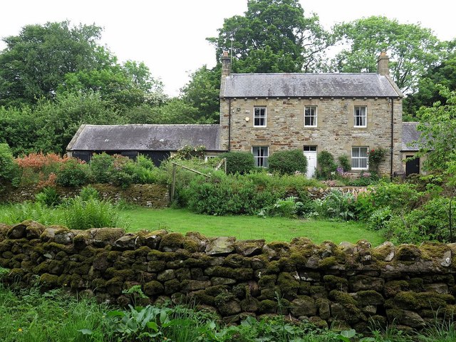
Rivergreen
- Overview Map Street View Rivergreen is a hamlet in Northumberland, situated by the River Wansbeck, located to the west of Mitford. Rivergreen is the site of the deserted medieval village …
Co-Curate Page
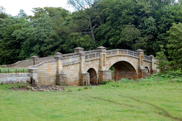
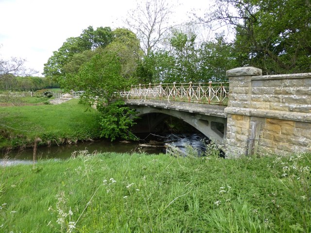
Highford Bridge, Mitford
- Overview Map Street View Highford Bridge carries the B6343 road over the River Wansbeck, east of Mitford. The bridge, with three segmental arches, was built 1829 - 1830. It is …
Co-Curate Page
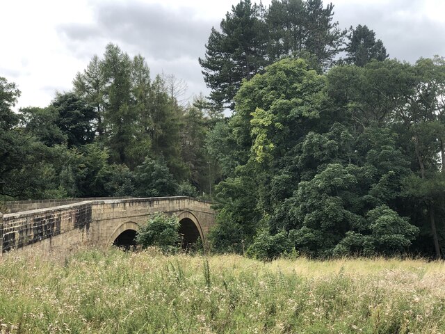
Low Angerton Bridges
- Overview Map Street View Low Angerton Bridges are two adjacent bridges over the River Wansbeck at Low Angerton. The main bridge was built in 1908, by The British Concrete Steel …

Co-Curate Page
Kirkwhelpington Bridge
- Kirkwhelpington Bridge over the River Wansbeck is located at the south-east of Kirkwhelpington. The bridge was built in 1819. It is Grade II listed on the National Heritage List for …

from Flickr (flickr)
River Wansbeck, the Telford Bridge, and St. George's United Reformed Church, Morpeth
Pinned by Simon Cotterill
Co-Curate Page
Morpeth Floods 2008
- Following a period of sustained heavy rain the River Wansbeck burst its banks and overwhelmed the flood defences in Morpeth on the 6th of September 2008. Over 400 people had …
Co-Curate Page
Morpeth
- Overview About Morpeth Map Street View The county town of Northumberland. Help build the Morpeth Timeline Morpeth is a town in the north-east of England, lying on the River Wansbeck. …
Co-Curate Page
Ashington
- Overview History Map Street View Early history The name Ashington possibly originates from Essendene which has been referenced since 1170, but may instead have originated from Æsc, a Saxon …
Co-Curate Page
Cambois
- Overview About Cambois Map Street View Cambios is a former mining village near Blyth in Northumberland. It grew with the establishement of Cambios Colliery in the mid 19th century. However, …
Co-Curate Page
Kirkwhelpington
- Overview About Kirkwhelpington Map Street View Kirkwhelpington is a village and civil parish in the English county of Northumberland about 13 miles northeast of Hexham. It is on the …
Co-Curate Page
Bothal
- Overview About Bothal Map Street View Bothal is a village in Northumberland, located near the River Wansbeck between Morpeth and Ashington. Historic buildings include Bothal Castle and the 12th century …
from Flickr (flickr)
Bridge and River near Bothal Castle, near Morpeth, Northumberland
Pinned by Simon Cotterill
Co-Curate Page
Telford Bridge
- Overview Map Street View Telford Bridge (aka 'New Bridge') in Morpeth was built 1829 - 1831 by Thomas Telford.[1] The stone bridge carries the A192 road over the River Wansbeck. …
Co-Curate Page
Elliott Bridge
- Elliott Bridge is a pedestrian footbridge over the River Wansbeck joining Morpeth town centre to Carlisle Park. The bridge was built in 1982, replacing the original Elliott Bridge of 1924, …
Co-Curate Page
Guide Post
- Overview About Guide Post Map Street View Guide Post is a village in south east Northumberland, England, about 17 miles (27 km) north of Newcastle upon Tyne. It lies …
Co-Curate Page
Road Bridge, Sheepwash
- Overview Map Street View The bridge at Sheepwash carries the A1068 road over the River Wansbeck. It was built in 1920 to replace a stone bridge damaged by floods in …
from https://flood-warning-informa…
River level - River Wansbeck at Middleton Bridge
Added by
Simon Cotterill
Co-Curate Page
Foss Bridge
- Foss Bridge is a mid 18th century stone bridge over the River Wansbeck at Mitford, near Mitford Castle (sometimes caled "Wansbeck Bridge"). The bridge is Grade II listed on the National …
Co-Curate Page
Sweethope
- Overview About Sweethope Loughs Map Sweethope was recorded as a manor and village in the 13th century, once with defences, and 6 houses noted in the 17th century.[1] Sweethope was …
from Geograph (geograph)
Disused railway bridge over the River Wansbeck, Low Angerton, Northumberland
Pinned by Simon Cotterill
Co-Curate Page
Bridge over the Wansbeck, south of Wallington
- Overview History Map Street View This bridge is located about ¼ mile south-east of Wallington Hall, carries the B6342 road over the River Wansbeck. The bridge was built in 1755 …
Co-Curate Page
Chantry Footbridge
- Overview Map Street View The Chantry Footbridge over the River Wansbeck is located by Chantry Place in Morpeth. It was built in 1869 by Swinney Bros. of Morpeth, funded by …
Co-Curate Page
Lowford Bridge, Morpeth
- Overview Map Street View Lowford bridge carries Mitford Road (B6343) over the River Wansbeck at the east of Morpeth. The stone bridge was erected in 1836, funded by public subscription. …
Co-Curate Page
Rivergreen
- Overview Map Street View Rivergreen is a hamlet in Northumberland, situated by the River Wansbeck, located to the west of Mitford. Rivergreen is the site of the deserted medieval village …
Co-Curate Page
Highford Bridge, Mitford
- Overview Map Street View Highford Bridge carries the B6343 road over the River Wansbeck, east of Mitford. The bridge, with three segmental arches, was built 1829 - 1830. It is …
Co-Curate Page
Low Angerton Bridges
- Overview Map Street View Low Angerton Bridges are two adjacent bridges over the River Wansbeck at Low Angerton. The main bridge was built in 1908, by The British Concrete Steel …