Topics > Northumberland > Ashington
Ashington
Early history
The name Ashington possibly originates from Essendene which has been referenced since 1170, but may instead have originated from Æsc, a Saxon invader who sailed from Northern Germany to the River Wansbeck and settled in the deep wooded valley near Sheepwash. But it could also have come from "Valley of Ash Trees" - these would have lined the valley and the Saxon word Dene means valley giving the name 'Ash Dene'. In the 1700s all that existed of Ashington was a small farm with a few dwellings around it.
The Anglo Saxon theory is the most likely. The suffix "ington" denotes a settlement (usually a farm) belonging to an Anglo Saxon. There are numerous "ington's" nearby that would seem to discount the "Ash tree" theory as well as "Essendene". Examples are: Bedlington, Choppington, Cramlington, Barrington, Whittington, Acklington, Stannington etc.
Coal mining
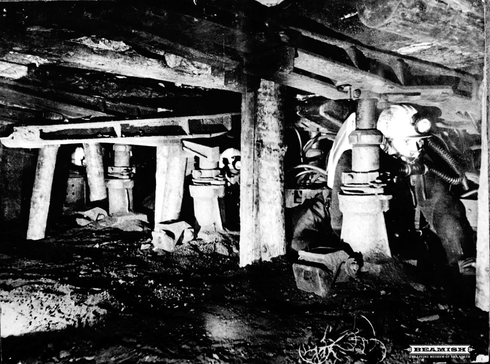
The first evidence of mining is from bell-shaped pits and monastic mine workings discovered in the 20th Century during tunnelling. Ashington developed from a small hamlet in the 1840s when the Duke of Portland built housing to encourage people escaping the Irish potato famine to come and work at his nearby collieries. As in many other parts of Britain, "deep pit" coal mining in the area declined during the 1980s and 1990s leaving just one colliery, Ellington which closed in January 2005. In 2006 plans for an opencast mine on the outskirts of the town were put forward, although many people objected to it. During the heyday of coal-mining, Ashington was considered to be the "world's largest coal-mining village". There is now a debate about whether Ashington should be referred to as a town or a village; if considered as a village it would be one of the largest villages in England.
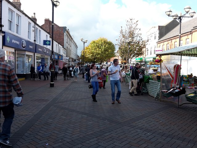
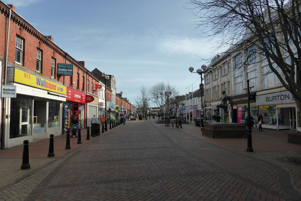
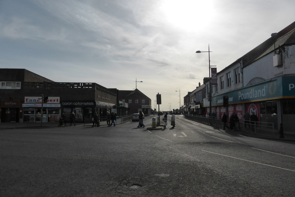
Growth of the town
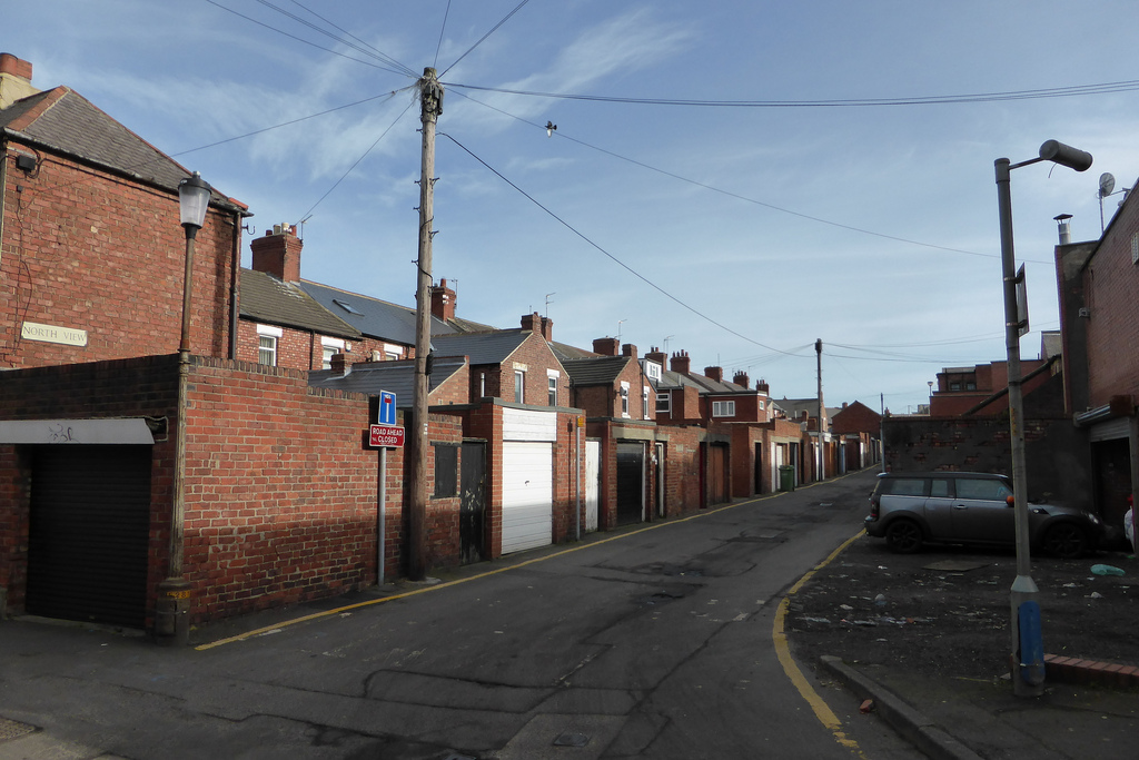
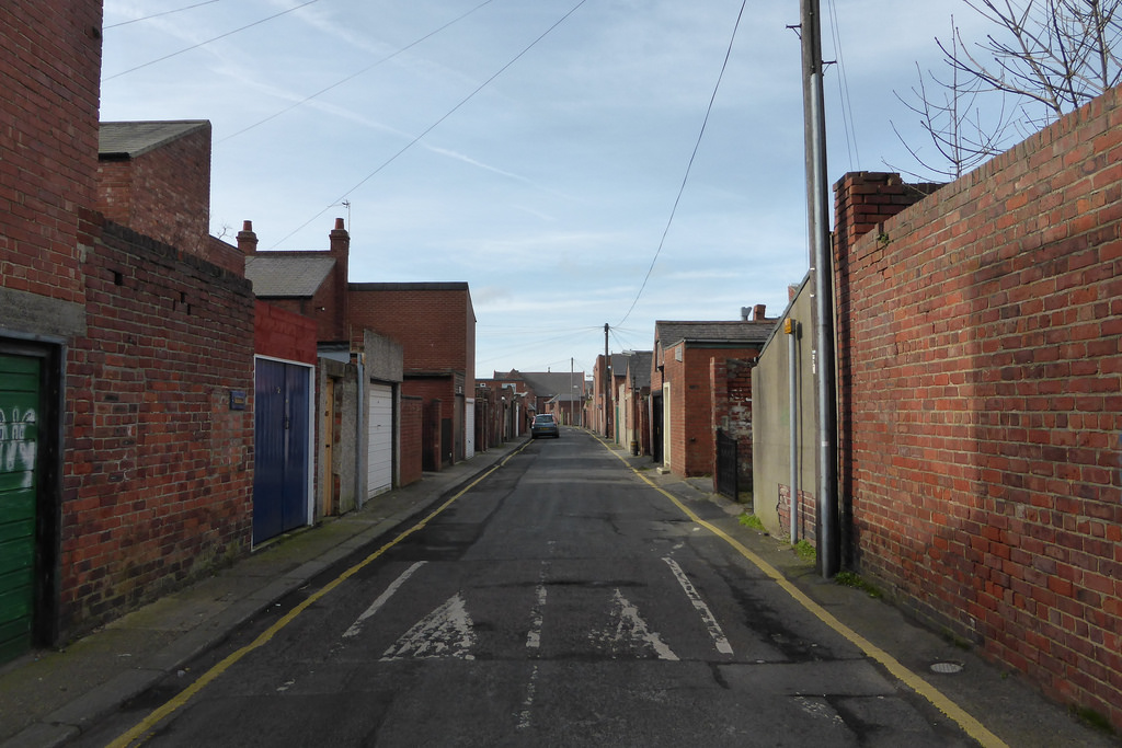
As coal mining expanded, more people left the countryside and settled in Ashington. This led the Ashington Coal Company to build parallel rows of colliery houses. Some newcomers came from as far as Cornwall to make use of their tin-mining skills.
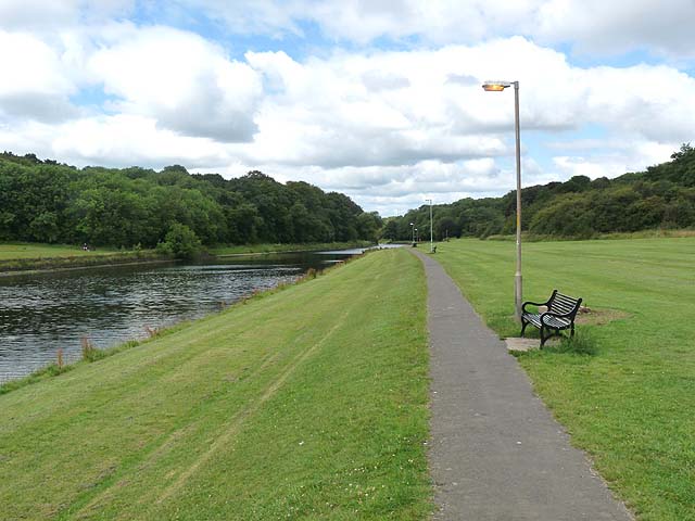
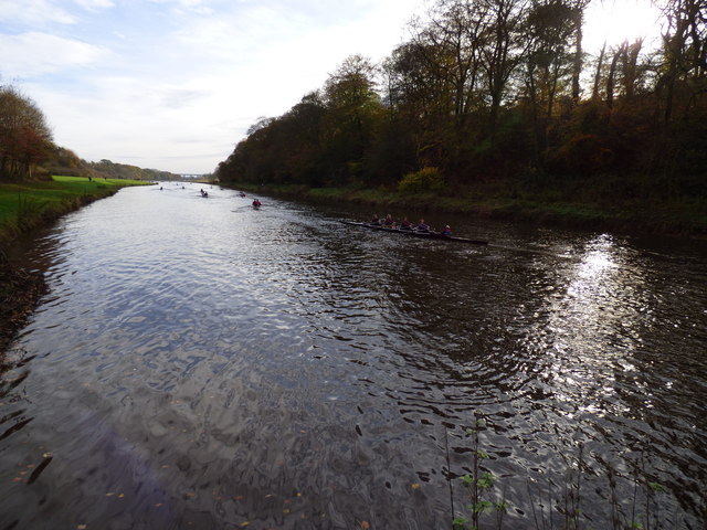
With the growing coal industry came the need for a railway link. Ashington was linked to the Blyth and Tyne Railway in the 1850s, and also to the East Coast Main Line near Ulgham (pronounced Uffham). The railway was also used by passenger trains until the Beeching Axe in 1964 closed the railway station, called Hirst railway station, which had opened in the 1870s. The railway line runs south towards the steep-sided River Wansbeck valley, originally crossed by a wooden viaduct, which was replaced by today's steel-built Black Bridge.
In 1913 the original Ashington Hospital was built. It was about 1/4 mile from the town centre. The hospital was expanded in the 1950s and '60s with large new wings. This hospital was closed in the mid 1990s and replaced by the new Wansbeck General Hospital which opened on a green-field site on the eastern edge of the town with better links to the A189 Spine Road. The last of the old buildings were demolished in 2004.
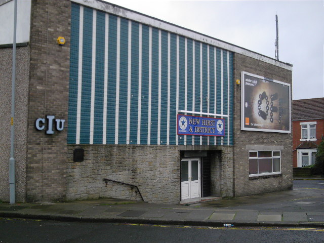
Traditionally the area to the east of the railway was called Hirst and that to the west was Ashington proper. Although collectively called Ashington, both halves had their own park: Hirst Park (opened in 1915) in the east and the People's Park in the west.
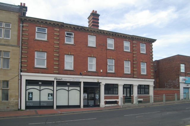
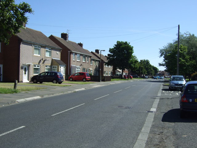
The colliery-built houses followed a grid plan. The streets in the Hirst End running north to south were named after British trees, such as Hawthorn Road, Beech Terrace, and Chestnut Street. The east-west running streets were numbered avenues, starting with First Avenue near the town centre, finishing at Seventh Avenue towards the southern end. After the 1920s houses in Ashington were built by the council and were most often semi-detached houses, such as Garden City Villas. These occupied much of the fields in the Hirst area. New estates were built in different areas. The biggest building programme was in the late 1960s and saw Ashington extend south from Seventh Avenue opposite the Technical College towards North Seaton and south eastwards towards the A189. Some of the houses at the north end of Alexandra Road were private homes. During this building programme several new schools were built, for example Coulson Park, Seaton Hirst Middle. Community shops and a social club (the Northern) were built off Fairfield Drive. The late 1970s and early 1980s saw construction of Nursery Park opposite the North Seaton Hotel. The late 1980s and 1990s saw the building of the Wansbeck Estate between the River Wansbeck and Green Lane as well as the large Fallowfield Estate.
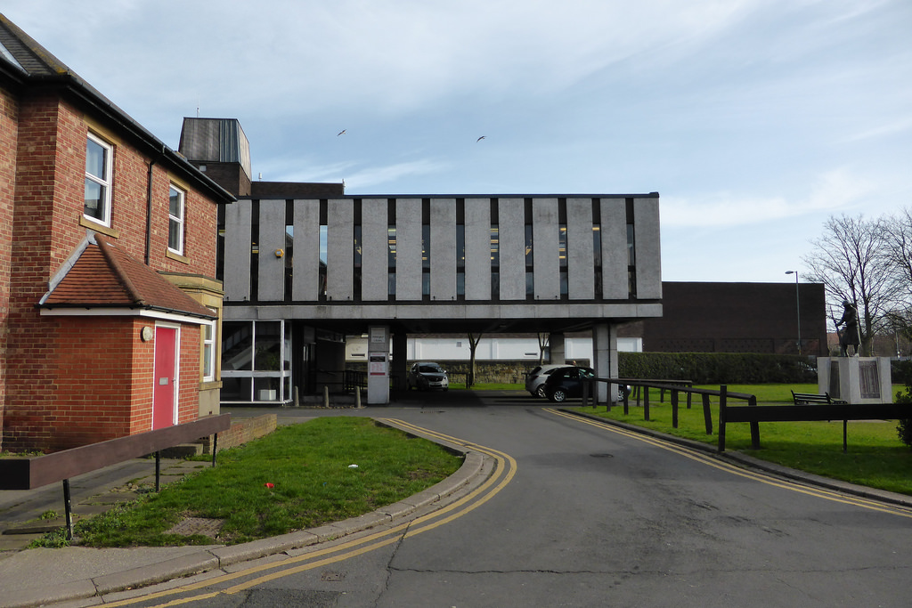
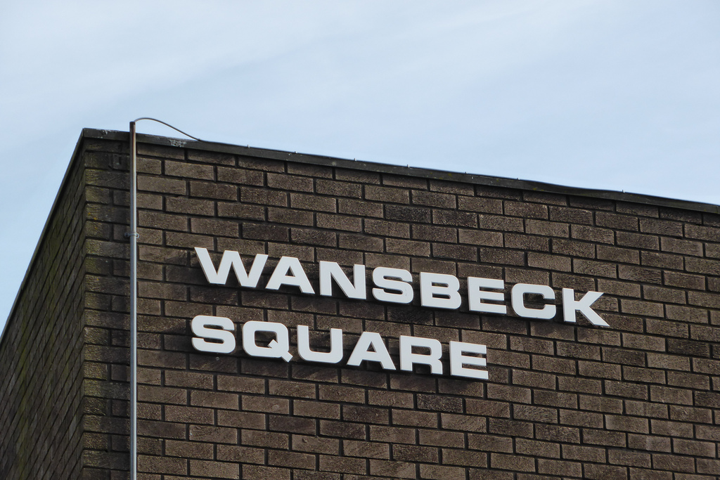
In the late 1960s the area by the railway station was developed into Wansbeck Square, housing a supermarket, council offices and a public library, built partly over the railway line.
In 1981 the Woodhorn Pit closed and its chimney was demolished. In the late 1980s this became a museum. In 1988 Ashington Pit was closed and is now occupied by a business park. In the early 2000s maisonette flats in various parts of Hirst were demolished and parts of the Moorhouse and Woodbridge estate opposite Woodhorn Pit were demolished.
The railway was used until recently by the Alcan Aluminium plant nearby which has now closed. There have been calls to restore the railway station for passenger use with services to Newcastle.
Ashington Urban District was created in 1896, covering part of the parish of Ashington and Sheepwash and part of the parish of Bothal Demesne, and incorporating Hirst. In 1900 the urban district was enlarged to include North Seaton; then Sheepwash, most of Woodhorn and the remainder of Bothal Demesne in 1935. The urban district survived until 1974, when under the Local Government Act 1972 it became part of the Wansbeck district.
In October 2008, plans to opencast 2m tonnes of coal in Ashington were approved. UK Coal's plans which were first submitted in 2005, would create 60+ jobs.

Co-Curate Page
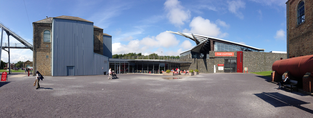
Woodhorn Museum
- Overview About Woodhorn Museum Map Woodhorn Museum and Northumberland Archives is located in Ashington and based on the site of the former Woodhorn Colliery (1884-1981). The museum retains many of …


Co-Curate Page
Bothal Parish, 1855
- Extract from: History, Topography, and Directory of Northumberland...Whellan, William, & Co, 1855. BOTHAL PARISH BOTHAL parish comprises the townships of Ashington and Sheepwash, Bothal Demesne, Longhirst, Oldmoor, and Pegsworth, …


Co-Curate Page
Woodhorn Museum
- Overview About Woodhorn Museum Map Woodhorn Museum and Northumberland Archives is located in Ashington and based on the site of the former Woodhorn Colliery (1884-1981). The museum retains many of …
Co-Curate Page
Bothal Parish, 1855
- Extract from: History, Topography, and Directory of Northumberland...Whellan, William, & Co, 1855. BOTHAL PARISH BOTHAL parish comprises the townships of Ashington and Sheepwash, Bothal Demesne, Longhirst, Oldmoor, and Pegsworth, …

Northumberland

Ashington at War
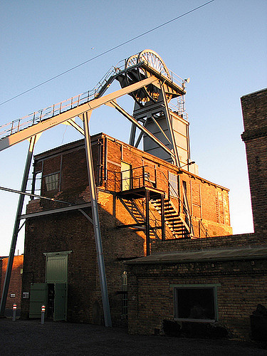
Ashington Colliery (1867-1988)
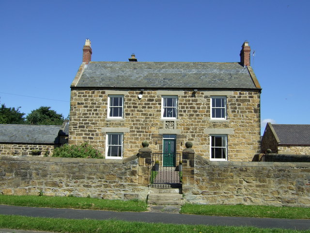
Ashington Farmhouse, Wansbeck Road, Ashington

Ashington Railway Station
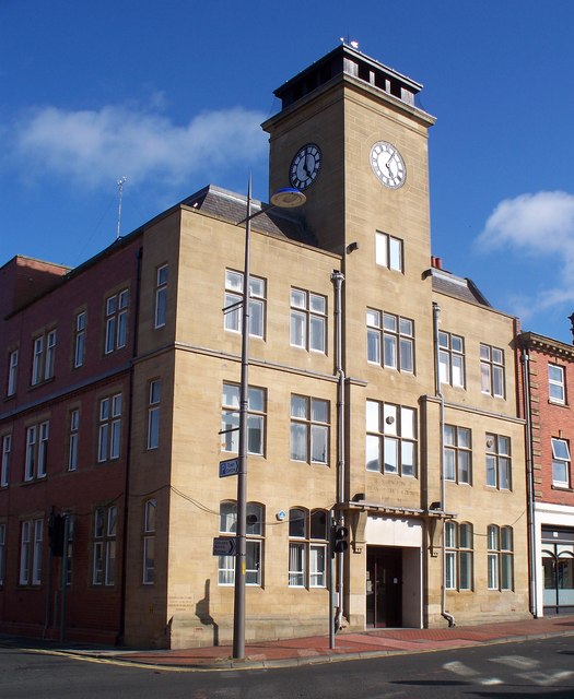
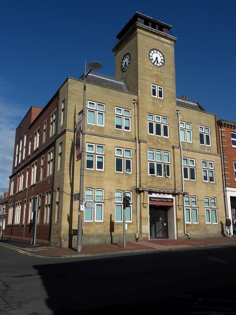
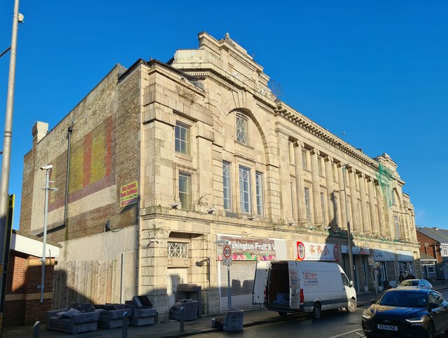
Ashington Town Hall

Ashington Township, 1848
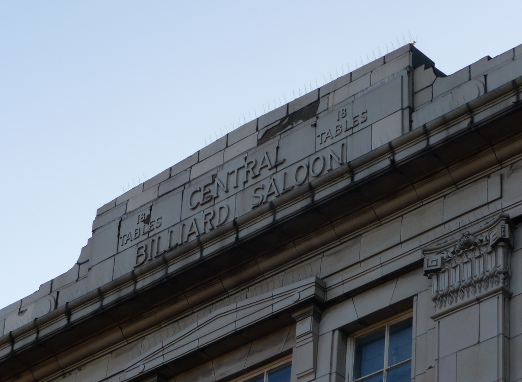
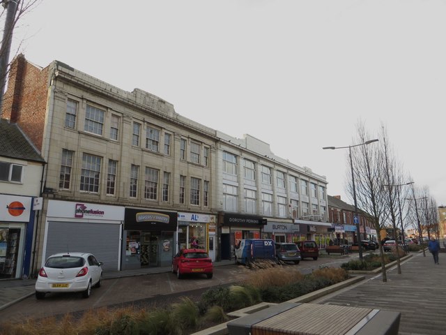
Central Arcade, Ashington

Church of the Holy Sepulchre, Ashington

Map and Aerial View of Ashington
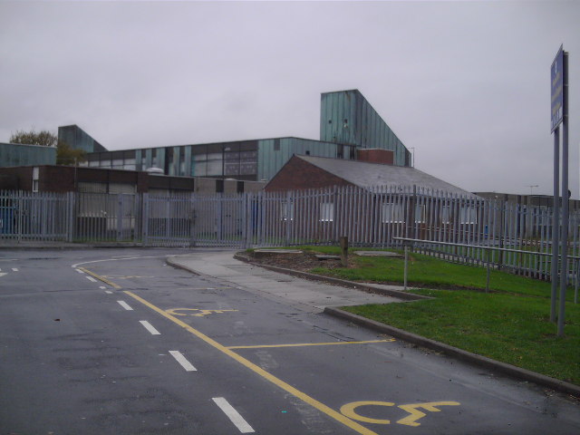
Schools in Ashington

Woodhorn Parish, 1855


