Topics > Geography > Rivers > River Wansbeck > Hart Burn (river)
Hart Burn (river)
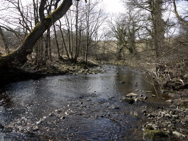
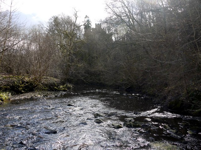
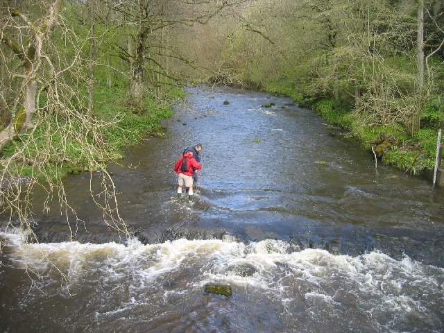
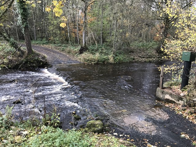
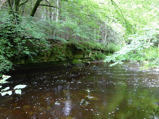
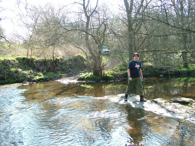
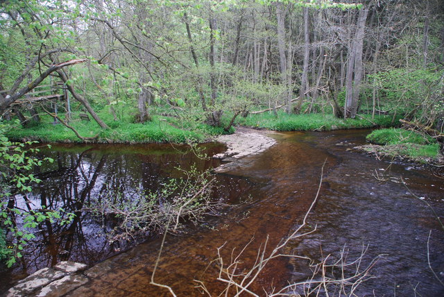
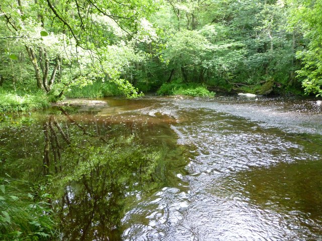
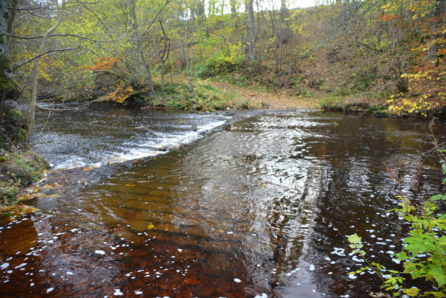
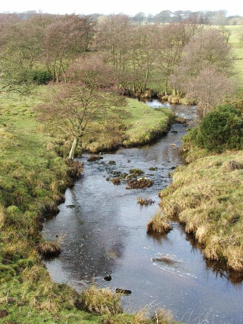
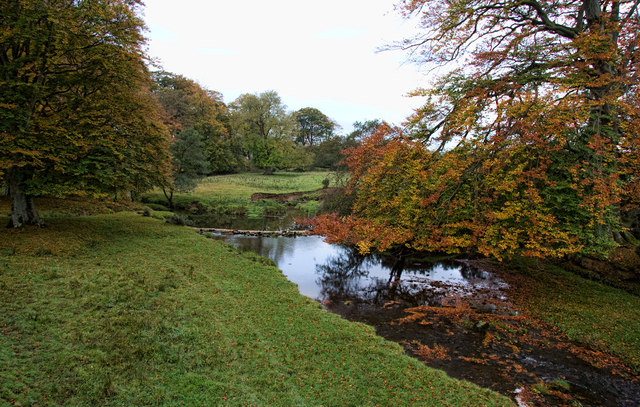
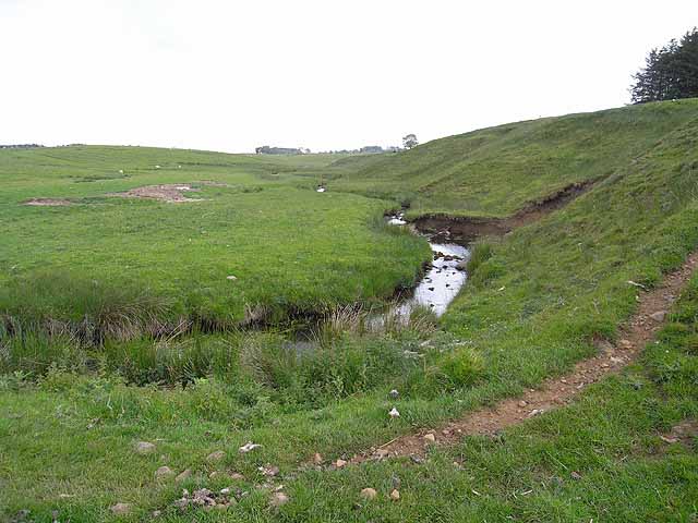
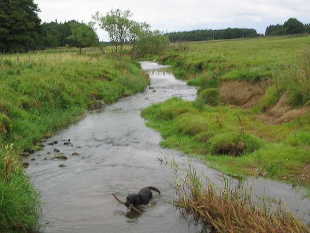
Hart Burn is a tributary of the River Wandsbeck, which gives its name to the village of Hartburn in Northumberland. Hart Burn forms at the confluence of Burky Burn and Ottercops Burn, about 6.5 miles north-west of Hartburn. It meanders eastwards to join the River Wansbeck near Meldon Park. Overall the Hart Burn is 24 km long and has a catchment area of about 45 km2.[1]

Co-Curate Page
Hartburn Bridge
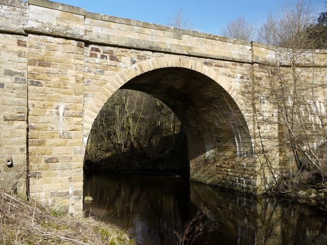
- Overview Map Street View The stone bridge over the Hart Burn between Hartburn and Meldon Park was built in the 18th century. It was widened in 1850 and now carries …
Co-Curate Page
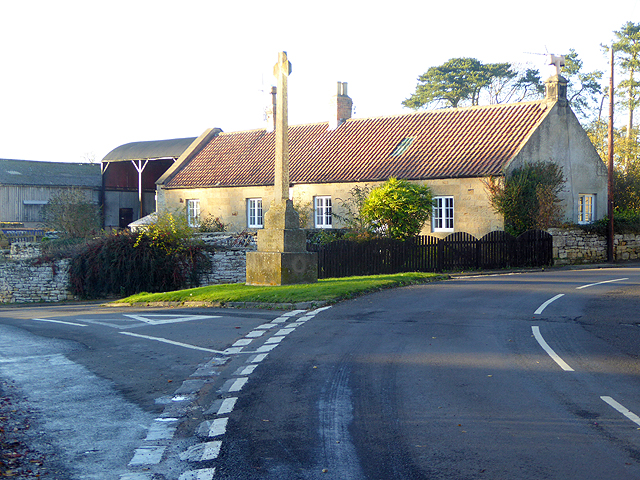
Hartburn
- Overview About Hartburn Map Street View Hartburn is a village and civil parish in Northumberland. The village is situated by the Hart Burn (river), and located about 6 miles west …
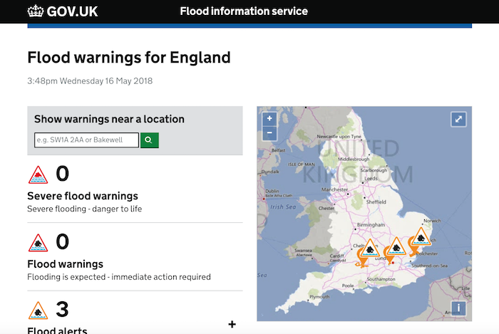
from https://flood-warning-informa…
River level - River Hart burn at Hartburn
Added by
Simon Cotterill


Co-Curate Page
High Angerton
- Overview Map Street View High Angerton is a hamlet in Northumberland, situated on the south banks of Hart Burn (river). It is located about ½ mile south-east of the village …

Co-Curate Page
Hartburn Bridge
- Overview Map Street View The stone bridge over the Hart Burn between Hartburn and Meldon Park was built in the 18th century. It was widened in 1850 and now carries …
Co-Curate Page
Hartburn
- Overview About Hartburn Map Street View Hartburn is a village and civil parish in Northumberland. The village is situated by the Hart Burn (river), and located about 6 miles west …
from https://flood-warning-informa…
River level - River Hart burn at Hartburn
Added by
Simon Cotterill
Co-Curate Page
High Angerton
- Overview Map Street View High Angerton is a hamlet in Northumberland, situated on the south banks of Hart Burn (river). It is located about ½ mile south-east of the village …


Grid ref:
NY9975089248


