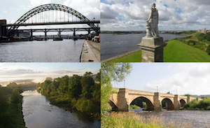
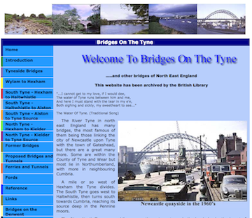
Topics > Geography > Rivers > River North Tyne
River North Tyne
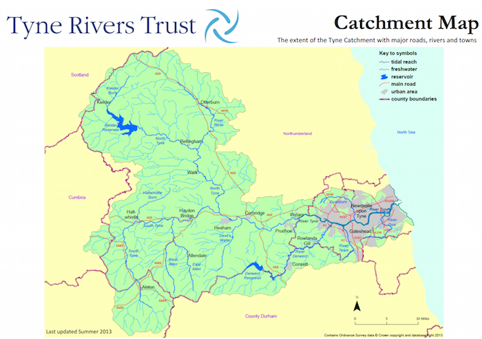
The River North Tyne rises near the Scottish border, north of Kielder Water. It flows through Kielder Forest, Falstone and Bellingham. It converges with the River South Tyne at Warden Rock near Hexham to form the River Tyne.
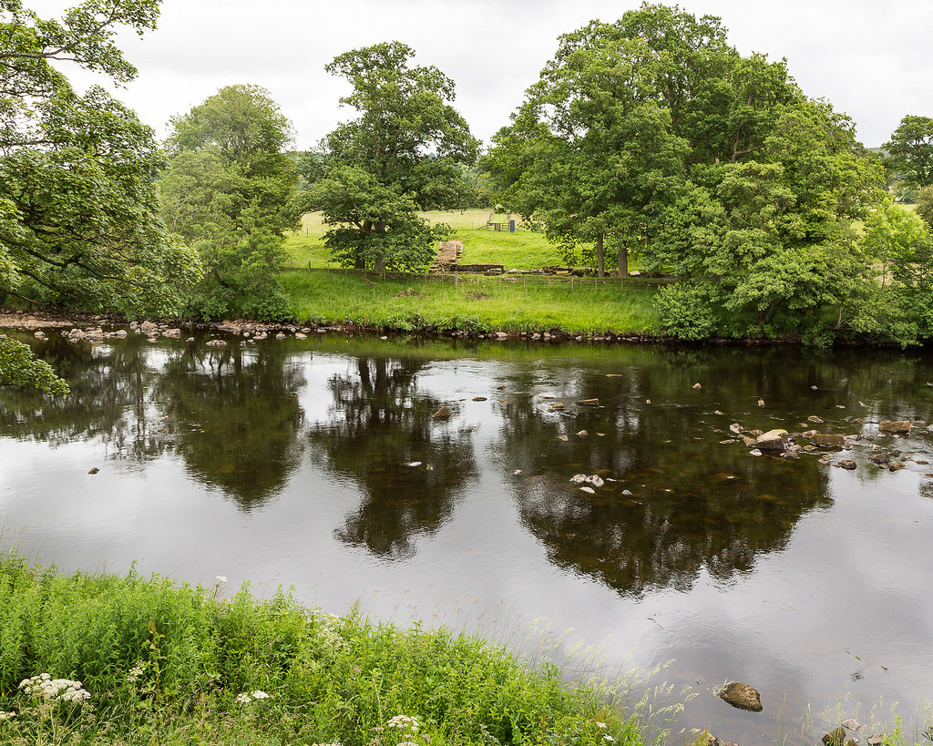
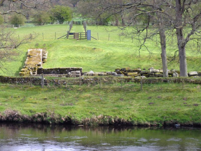
- Chesters Bridge (ruined Roman bridge)
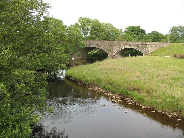
- Chollerford Bridge
- Wark Bridge (footbridge)
- Bellingham Bridge
- Tarset Bridge
- Greystead Bridge (footbridge)
- Falstone Bridge
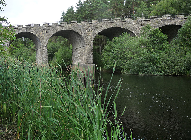
- Kielder Viaduct (foot – former railway viaduct)
- Kerseycleugh Bridge
from http://tyneriverstrust.org/
Tyne Rivers Trust
- "Tyne Rivers Trust has a unique role as guardian of the River Tyne Catchment, overseeing the continuing conservation and regeneration of the river from the impacts of its industrial past. …
Added by
Simon Cotterill
from Geograph (geograph)
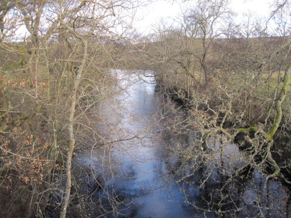
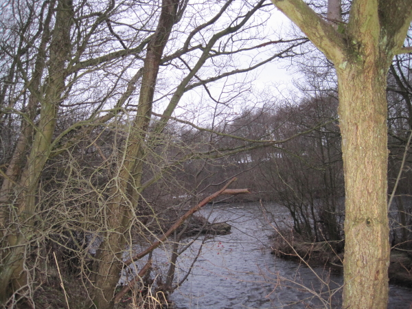
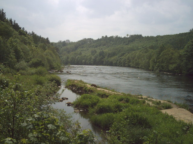
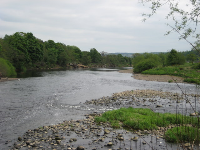
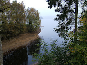
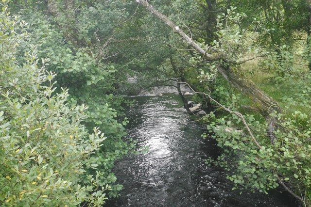
Confluence of the Chirdon Burn and the River North Tyne
Pinned by Simon Cotterill
from Geograph (geograph)
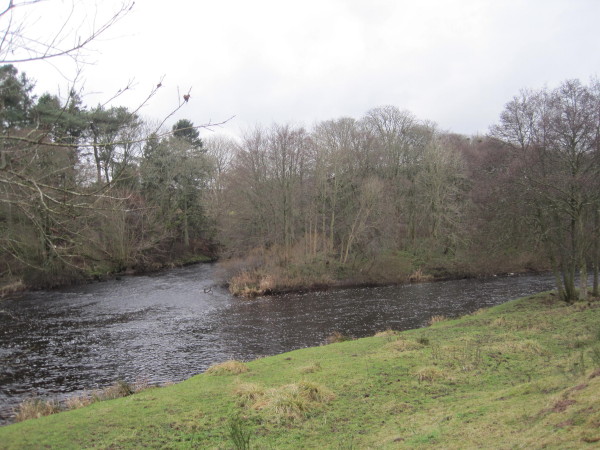
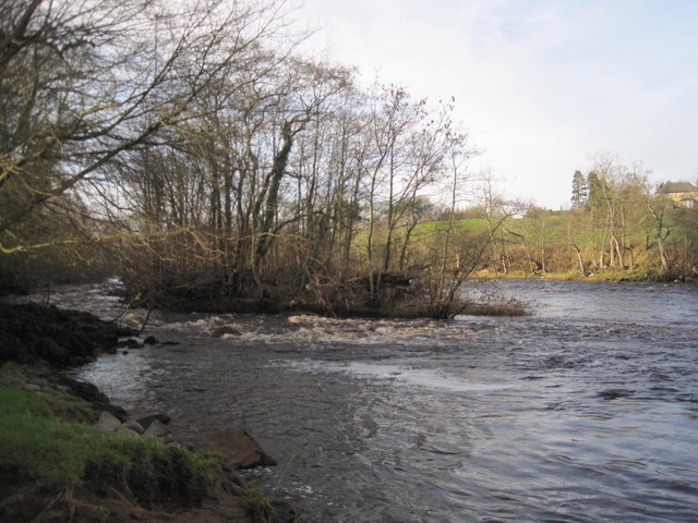
The Confluence of the Hareshaw Burn and the River North Tyne
Pinned by Simon Cotterill
from Geograph (geograph)
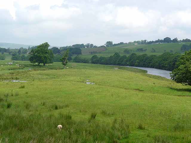
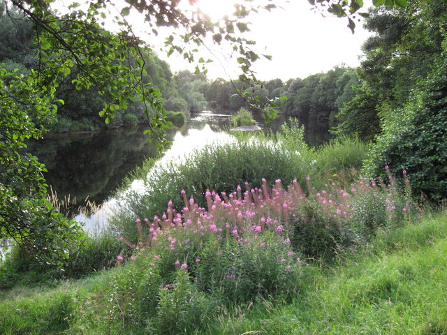
Footpath leading to The North Tyne near Redeswood
Pinned by Simon Cotterill
Co-Curate Page
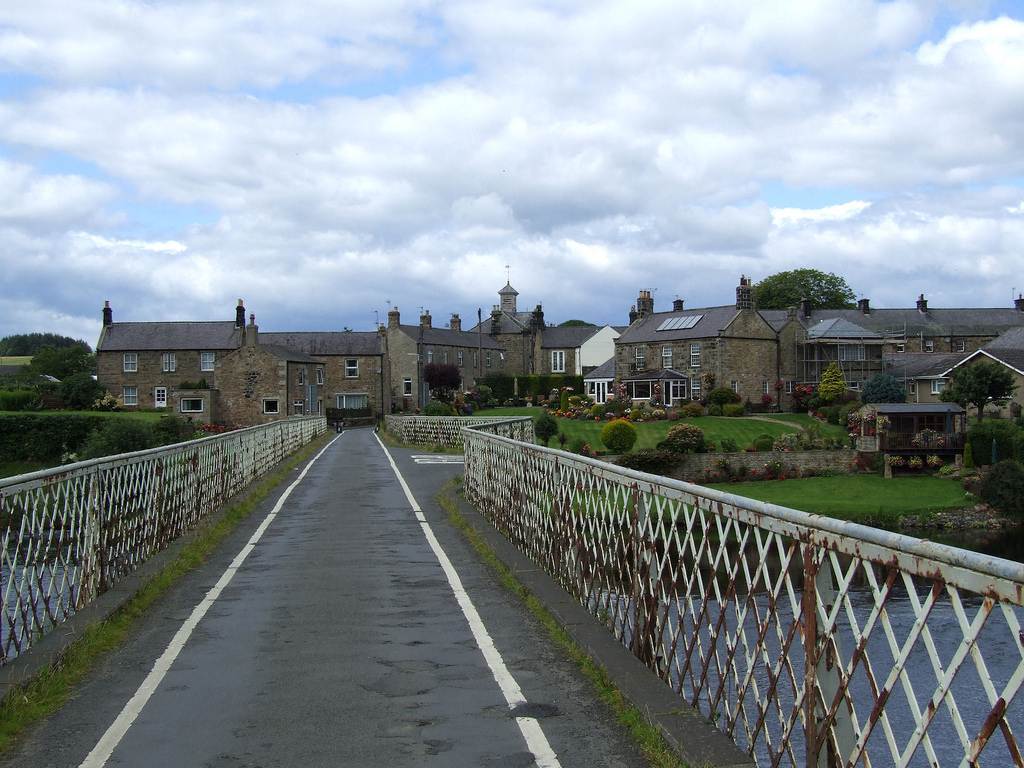
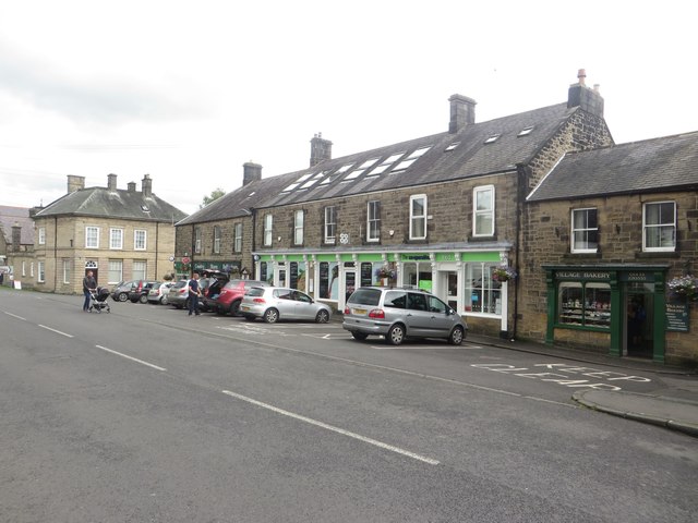
Wark-on-Tyne
- Overview About Wark on Tyne Map Street View Wark on Tyne is a small village and civil parish usually called Wark in Northumberland, England about 12 miles north of …
Co-Curate Page
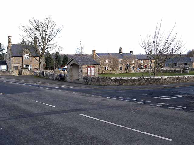
Barrasford
- Overview About Barrasford Map Street View Barrasford is a village in Northumberland, in England. It is situated to the north of Hexham, on the North Tyne. Barrasford is an …
from Geograph (geograph)
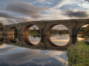
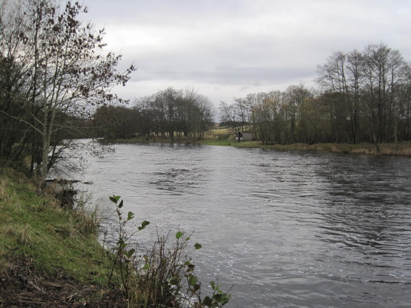
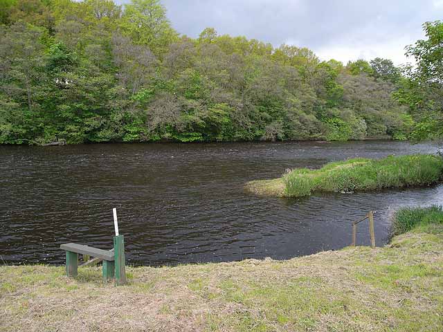
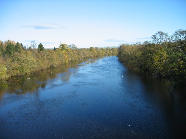
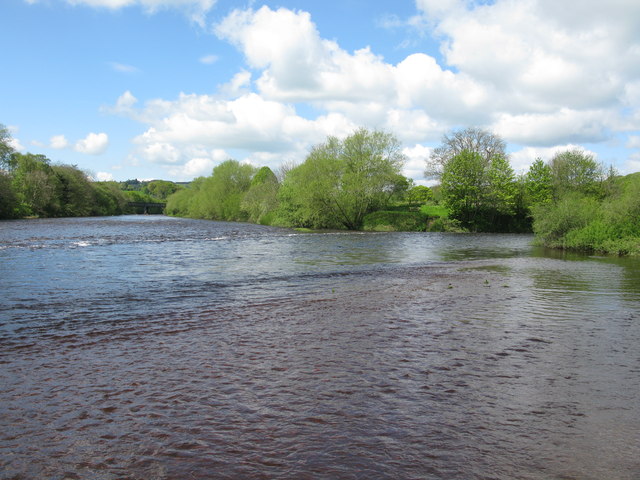
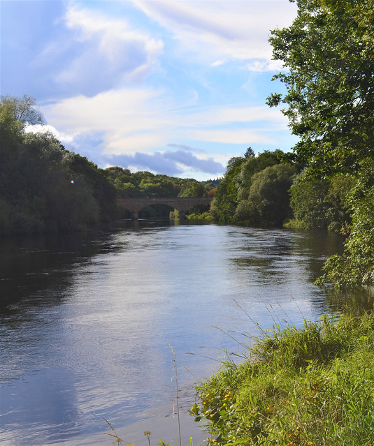
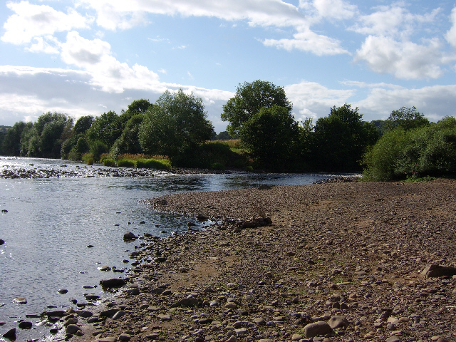
Confluence of the River South Tyne and the River North Tyne
Pinned by Simon Cotterill
Co-Curate Page
Chollerton
- Overview About Chollerton Map Street View Chollerton is a village located to the north of Hexham, Northumberland. It is situated near the River North Tyne and the A6079 road runs …
Co-Curate Page
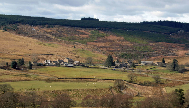
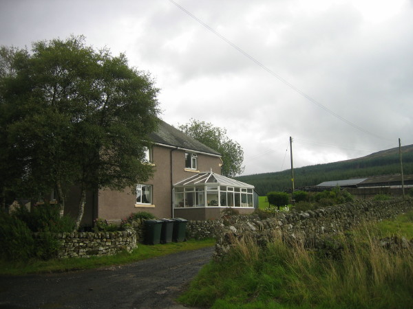
Stannersburn
- Overview Map Street View Stannersburn is a small village in Northumberland located near the south banks of the River North Tyne, near Falstone, on the north bank. Kielder Water is …
Co-Curate Page
Falstone
- Overview About Falstone Map Street View Falstone is a village in Northumberland, situated by the River North Tyne and 1 mile east of Kielder Water. It is located about 7 …
from Geograph (geograph)
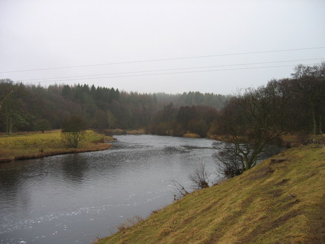
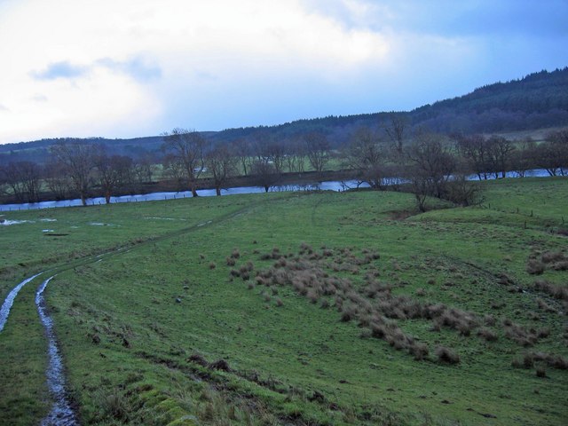
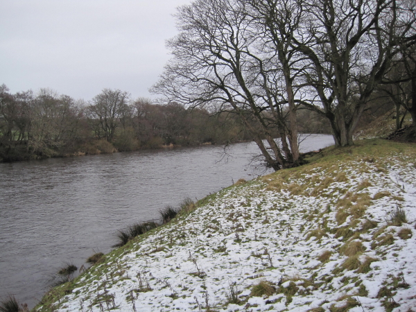
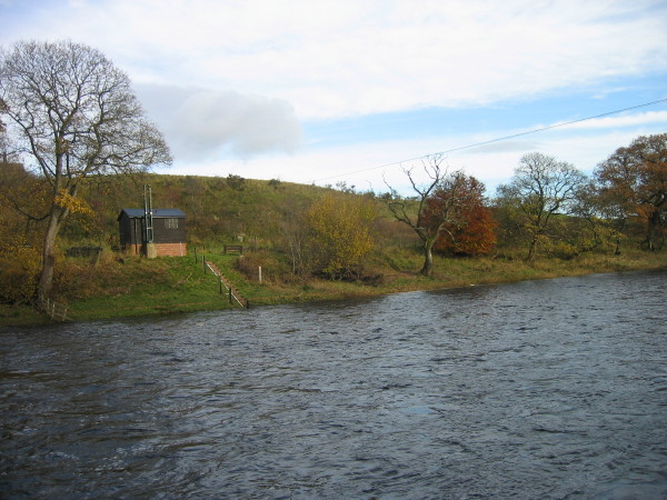
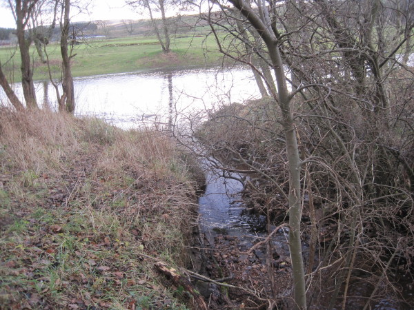
Confluence of Burnhead Burn and the River North Tyne
Pinned by Simon Cotterill

Co-Curate Page
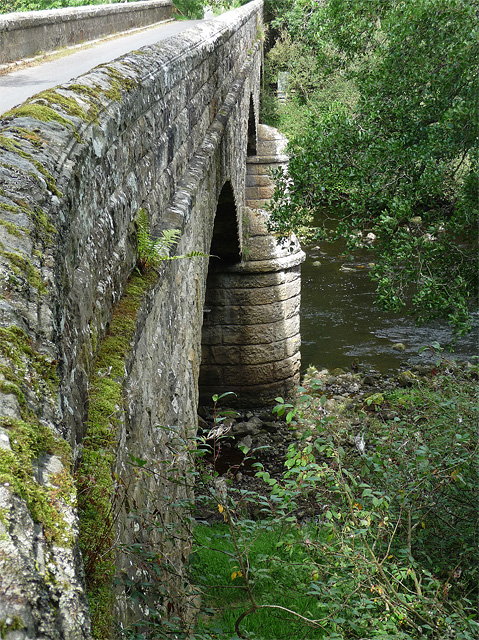
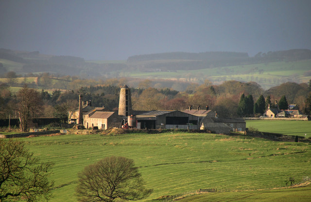
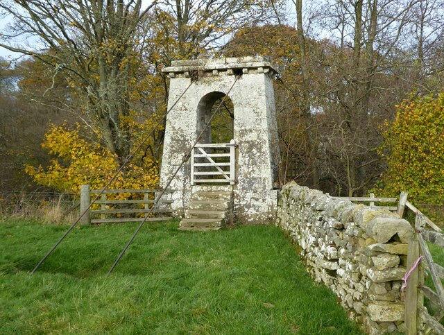
Chesters Bridge Abutment
- Overview Map Close to Chesters Roman Fort are the remains of a bridge which carried Hadrian's Wall across the River North Tyne.
Co-Curate Page
Kielder Water & Forest Park
- Overview About Kielder Water About Kielder Forest Map Street View Kielder Water is a resevoir in Northumberland, which is the largest artificial lake in the UK by water capacity. It …
Co-Curate Page
Bellingham
- Overview About Bellingham Map Street View Bellingham is a village in Northumberland, to the north-west of Newcastle upon Tyne and is situated on the Hareshaw Burn at its confluence …
Co-Curate Page
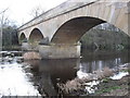
Falstone Bridge
- Overview Map Street View The three arched stone bridge over the River North Tyne at Falstone was built in 1843. On it's western parapet is a plaque inscribed "HENRY WELCH, …
Co-Curate Page
Deadwater, Northumberland
- Overview Map Street View Deadwater is a hamlet in Northumberland, located close to the border between England and Scotland, and about 3½ miles north-west of Kielder Water. It consists of …
Co-Curate Page
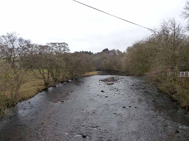
Greystead Foot Bridge
- Overview Map Street View Greystead Foot Bridge over the River North Tyne. This suspension bridge was built c.1862 to connect Greystead and the south bank of the river to the …
from https://www.bridgesonthetyne.…
NORTH TYNE - SOURCE
- ....The source of the North Tyne is difficult to pinpoint. Is it high up on Peel Fell or lower down on Deadwater Fell? The Deadwater Burn is prominently marked on …
Added by
Simon Cotterill

from https://www.visitkielder.com/…
Source of the North Tyne
- Aricle by Gilbert Ward - 2013. "Kielder Art & Architecture worked with cancer charity “Daft as a Brush” to commission a sculpture to mark the source of the North Tyne …
Added by
Simon Cotterill

from http://tyneriverstrust.org/
Tyne Rivers Trust
- "Tyne Rivers Trust has a unique role as guardian of the River Tyne Catchment, overseeing the continuing conservation and regeneration of the river from the impacts of its industrial past. …
Added by
Simon Cotterill
from Geograph (geograph)
Confluence of the Chirdon Burn and the River North Tyne
Pinned by Simon Cotterill
from Geograph (geograph)
The Confluence of the Hareshaw Burn and the River North Tyne
Pinned by Simon Cotterill
from Geograph (geograph)
Footpath leading to The North Tyne near Redeswood
Pinned by Simon Cotterill
Co-Curate Page
Wark-on-Tyne
- Overview About Wark on Tyne Map Street View Wark on Tyne is a small village and civil parish usually called Wark in Northumberland, England about 12 miles north of …
Co-Curate Page
Barrasford
- Overview About Barrasford Map Street View Barrasford is a village in Northumberland, in England. It is situated to the north of Hexham, on the North Tyne. Barrasford is an …
from Geograph (geograph)
Confluence of the River South Tyne and the River North Tyne
Pinned by Simon Cotterill
Co-Curate Page
Chollerton
- Overview About Chollerton Map Street View Chollerton is a village located to the north of Hexham, Northumberland. It is situated near the River North Tyne and the A6079 road runs …
Co-Curate Page
Stannersburn
- Overview Map Street View Stannersburn is a small village in Northumberland located near the south banks of the River North Tyne, near Falstone, on the north bank. Kielder Water is …
Co-Curate Page
Falstone
- Overview About Falstone Map Street View Falstone is a village in Northumberland, situated by the River North Tyne and 1 mile east of Kielder Water. It is located about 7 …
from Geograph (geograph)
Confluence of Burnhead Burn and the River North Tyne
Pinned by Simon Cotterill
Co-Curate Page
Chesters Bridge Abutment
- Overview Map Close to Chesters Roman Fort are the remains of a bridge which carried Hadrian's Wall across the River North Tyne.
Co-Curate Page
Kielder Water & Forest Park
- Overview About Kielder Water About Kielder Forest Map Street View Kielder Water is a resevoir in Northumberland, which is the largest artificial lake in the UK by water capacity. It …
Co-Curate Page
Bellingham
- Overview About Bellingham Map Street View Bellingham is a village in Northumberland, to the north-west of Newcastle upon Tyne and is situated on the Hareshaw Burn at its confluence …
Co-Curate Page
Falstone Bridge
- Overview Map Street View The three arched stone bridge over the River North Tyne at Falstone was built in 1843. On it's western parapet is a plaque inscribed "HENRY WELCH, …
Co-Curate Page
Deadwater, Northumberland
- Overview Map Street View Deadwater is a hamlet in Northumberland, located close to the border between England and Scotland, and about 3½ miles north-west of Kielder Water. It consists of …
Co-Curate Page
Greystead Foot Bridge
- Overview Map Street View Greystead Foot Bridge over the River North Tyne. This suspension bridge was built c.1862 to connect Greystead and the south bank of the river to the …
from https://www.bridgesonthetyne.…
NORTH TYNE - SOURCE
- ....The source of the North Tyne is difficult to pinpoint. Is it high up on Peel Fell or lower down on Deadwater Fell? The Deadwater Burn is prominently marked on …
Added by
Simon Cotterill
from https://www.visitkielder.com/…
Source of the North Tyne
- Aricle by Gilbert Ward - 2013. "Kielder Art & Architecture worked with cancer charity “Daft as a Brush” to commission a sculpture to mark the source of the North Tyne …
Added by
Simon Cotterill

Geography

Rivers
Barrasford Burn (trib of North Tyne)
Belling Burn

Bells Burn (trib of North Tyne)
Chirdon Burn
Cranecleugh Burn
Deadwater Burn
Erring Burn (trib of North Tyne)
Gunnerton Burn
Hareshaw Burn
Hawkhope Burn (trib. North Tyne)
Houxty Burn (trib of North Tyne)
Humshaugh Burn
Kielder Burn
Lewis Burn
Little Wickhope Burn
Plashetts Burn
Pundershaw Burn
Simon Burn (river)
Smales Burn
Tarset Burn
Warks Burn (trib of North Tyne)