Topics > Geography > Rivers > River North Tyne > Plashetts Burn
Plashetts Burn
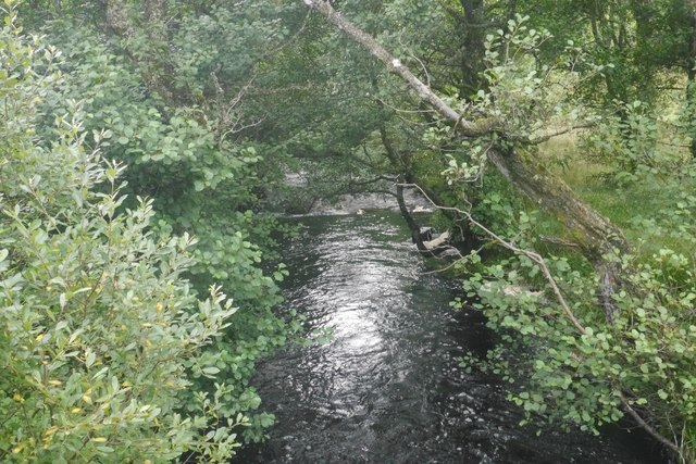
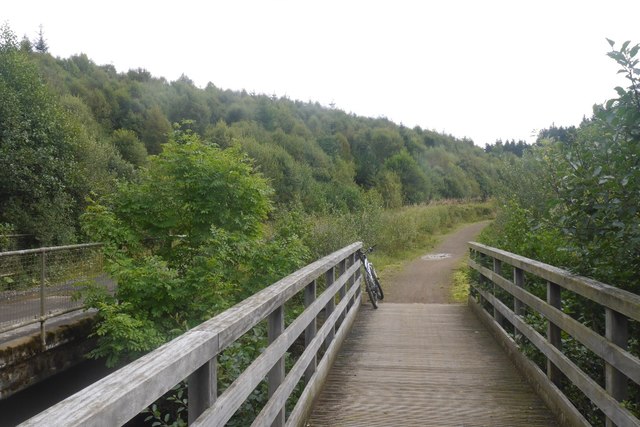
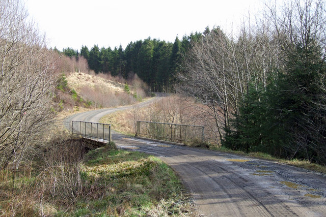
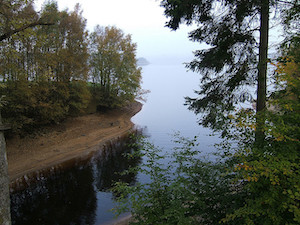
Plashetts Burn is a small river which flows into Kielder Water in Northumberland. The catchment area of Plashetts Burn, incorporating other smaller burns, is 5km long and covers an area of 11.9 km2.[1] The area forms part of Kielder Forest. There was once a small mining village at Plashetts.

Co-Curate Page
Kielder Water & Forest Park
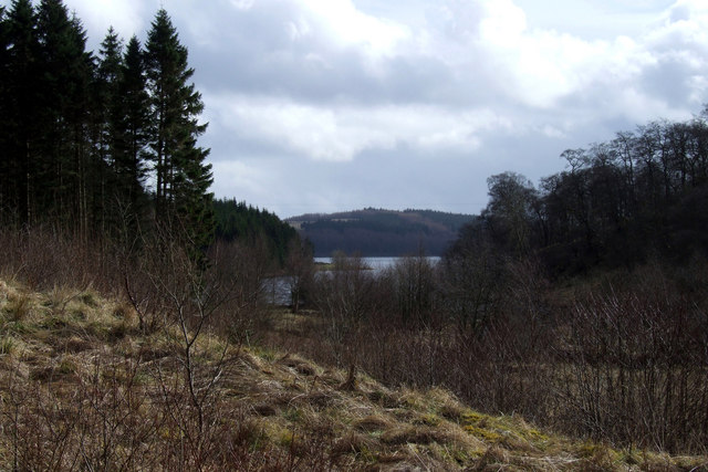
- Overview About Kielder Water About Kielder Forest Map Street View Kielder Water is a resevoir in Northumberland, which is the largest artificial lake in the UK by water capacity. It …
Co-Curate Page
Plashetts
- Plashetts was a village in Northumberland, located roughly 4 miles north-west of Falstone. There was farm here and possibly a deserted medieval settlement. Then in the 1850s Plashetts Colliery was opened …

Co-Curate Page
Kielder Water & Forest Park
- Overview About Kielder Water About Kielder Forest Map Street View Kielder Water is a resevoir in Northumberland, which is the largest artificial lake in the UK by water capacity. It …
Co-Curate Page
Plashetts
- Plashetts was a village in Northumberland, located roughly 4 miles north-west of Falstone. There was farm here and possibly a deserted medieval settlement. Then in the 1850s Plashetts Colliery was opened …


Grid ref:
NY6606992213


